
Enterprise drone capability · Aotearoa New Zealand
Enterprise drone capability, built around your operations.
AeroIQ helps organisations plan, deploy and scale drone programmes with the right enterprise drone systems, technology, workflows, training and operational support.
41°17′S · 174°46′E | ALT 120 m AGL
Enterprise drone over terrain
Service-led capability
Consulting · Deployment · Training · Remote operations, across survey, energy, public safety and more.
Services
From strategy to operational deployment.
Drone Training
Build internal pilot capability through practical training, coaching and real-world operating scenarios.
Drone Consulting
Plan the right drone programme, workflows, governance and technology pathway from the start.
Remote Operations
Design and support dock-enabled, remote and automated workflows for repeatable aerial data capture.
Drone Safety, Compliance & Performance
Strengthen procedures, documentation and operating standards so drone programmes stay safe, compliant and high-performing.
Drone Hardware
Choose, configure and validate drone hardware, sensors and software so it works from day one.
Products & Systems
Enterprise drone technology, selected for the workflow.
Enquiry-led, not off-the-shelf. We help you choose and integrate the right systems for the job, and make them work together in practice.
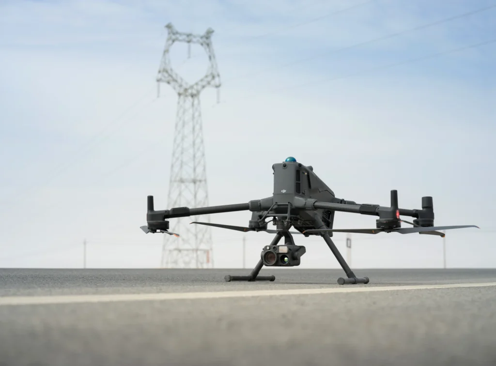 enterprise aircraft
Aircraft & platforms
Enterprise airframes matched to range, payload and operating conditions.
View products →
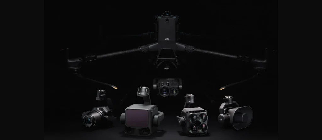 sensor payload
Payloads & sensors
Cameras, thermal, LiDAR and multispectral selected for the data you need.
View products →
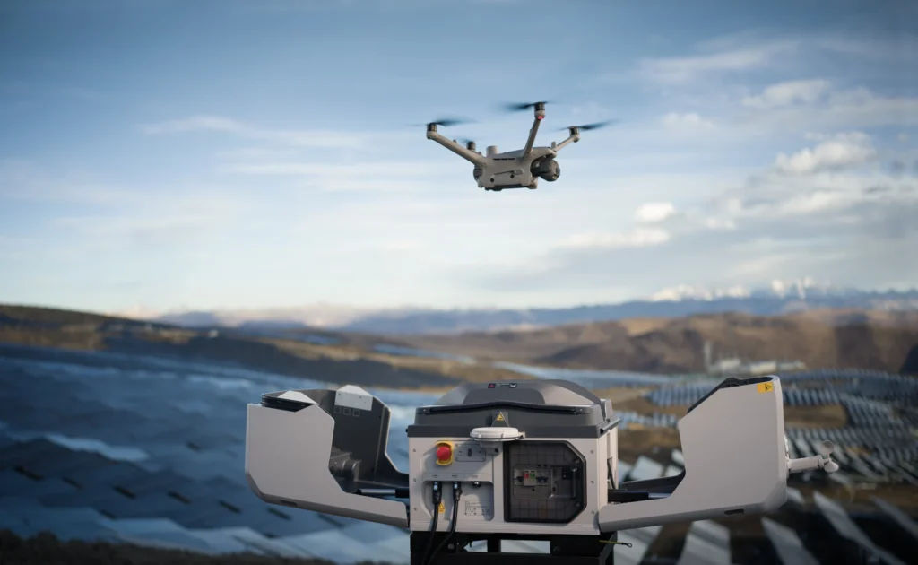 dock system
Dock systems
Dock-based stations for scheduled, remotely supported flights.
Enquire →
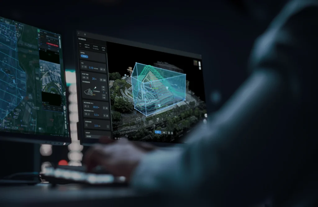 data output
Software & data
Capture, processing and data pipelines that produce usable deliverables.
View products →
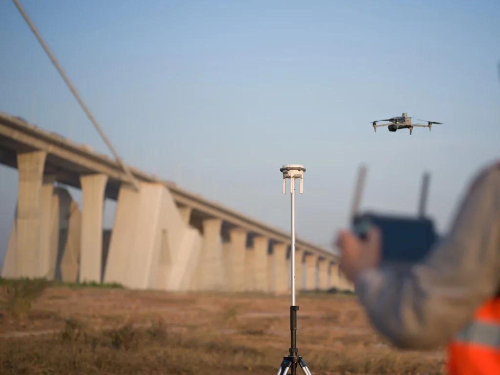 GNSS / positioning
Positioning tools
Ground control and RTK / PPK positioning for survey-grade accuracy.
Enquire →
Not sure what fits?
Tell us about the workflow and we'll recommend the right platforms, payloads and software.
Book a product consultation →
Industries
Drone solutions shaped around real industry workflows.
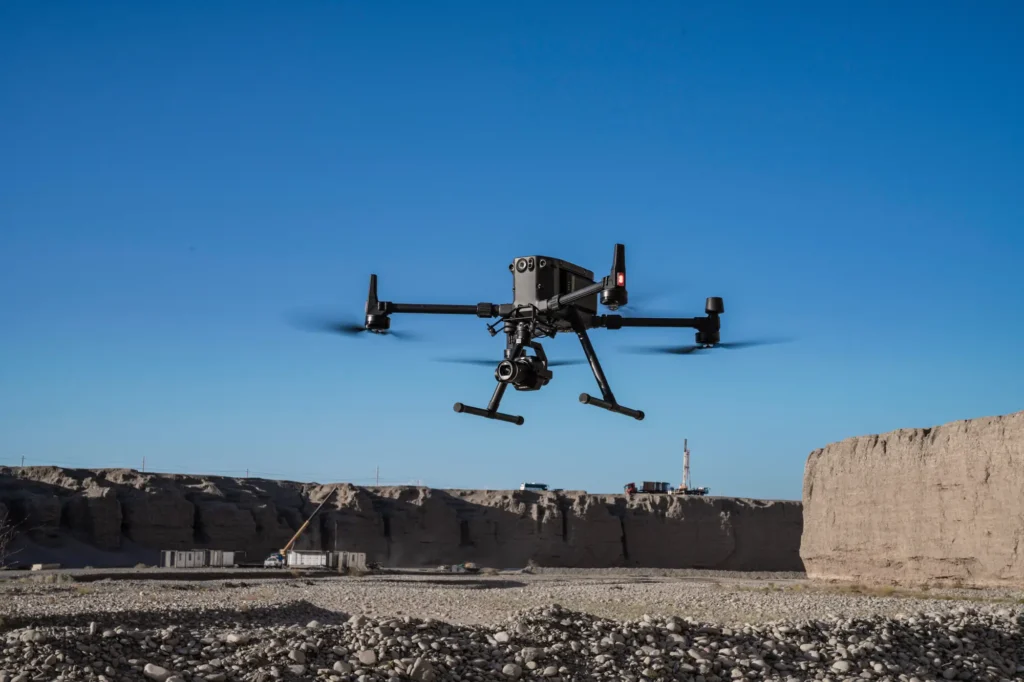 aerial mapping
Survey & Geospatial
Our strongest detailed capability: survey-grade mapping, measurement and spatial deliverables.
View pathway →
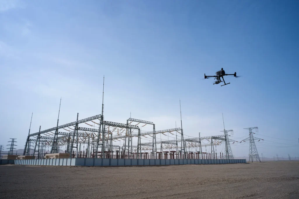 infrastructure inspection
Asset Management
Condition data and inspection workflows that keep asset records current and useful.
View pathway →
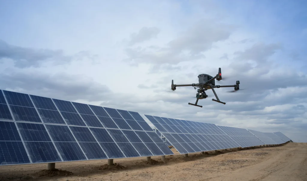 powerline inspection
Energy & Utilities
Inspection and monitoring across networks, generation and distribution infrastructure.
View pathway →
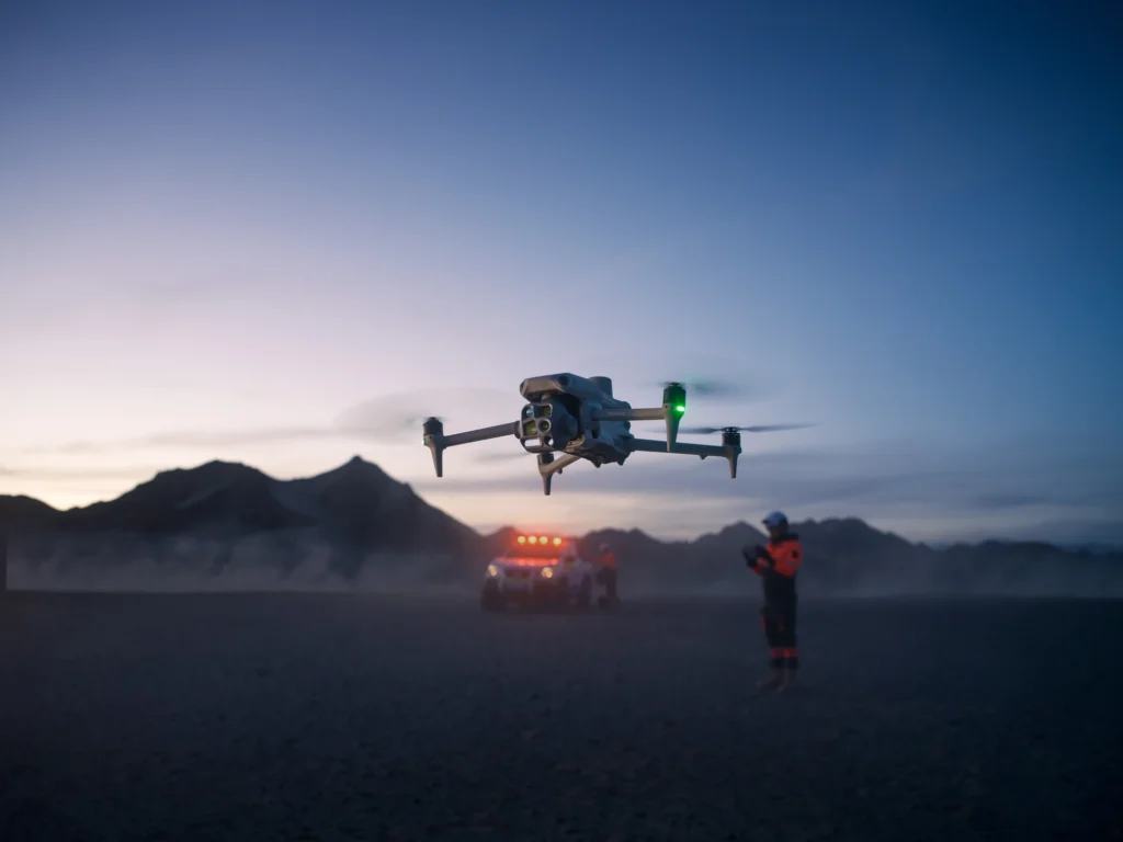 operator in field
Public Safety
Situational awareness and rapid aerial data for response and planning teams.
View pathway →
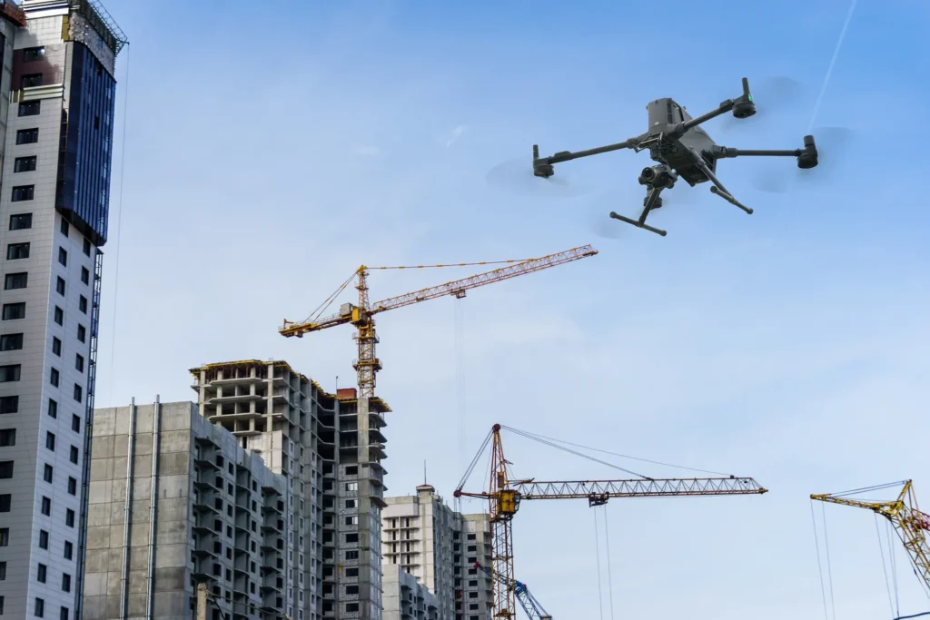 construction site survey
Construction
Site progress, volumes and as-built data captured on a repeatable schedule.
View pathway →
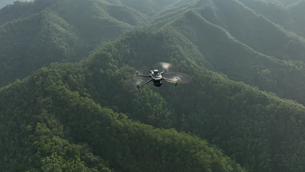 forestry terrain
Forestry
Coverage and monitoring across terrain that is hard to reach on the ground.
View pathway →
Featured pathway · Survey & Geospatial
Survey-grade aerial data for mapping, measurement and decision-making.
High-accuracy aerial survey workflows that turn flights into reliable, decision-ready spatial data, from capture and positioning through to processed deliverables your teams can actually use.
- Orthomosaics, digital surface u0026 terrain models
- Point clouds and volumetric measurement
- Ground control and RTK / PPK positioning
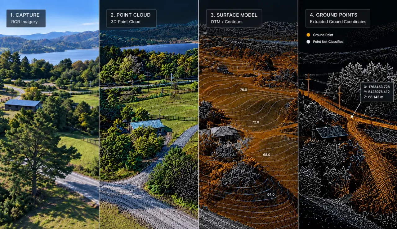 drone over survey terrain
How we work
A practical path from idea to operation.
Assess
Understand goals, sites and where drones add value.
Design
Scope the programme, technology and workflows.
Deploy
Stand up operations in the real environment.
Train
Build the internal skills to run it well.
Support
Keep it compliant, efficient and improving.

Let’s talk