
Services
Build a drone capability that runs itself.
AeroIQ designs, deploys and matures enterprise drone programmes, from strategy and training to remote operations, safety and servicing. The goal isn’t to fly for you. It’s to leave you self-sufficient.
Service-led capability
The programme lifecycle
DesignDeployOperateOptimiseIndependence
Our services
Six services. One connected capability.
Drone Training
Build internal pilot capability through practical training, coaching and real-world operating scenarios.
Drone Consulting
Plan the right drone programme, workflows, governance and technology pathway from the start.
Remote Operations
Design and support dock-enabled, remote and automated workflows for repeatable aerial data capture.
Drone Safety, Compliance & Performance
Strengthen procedures, documentation and operating standards so drone programmes stay safe, compliant and high-performing.
Drone Hardware
Choose, configure and validate drone hardware, sensors and software so it works from day one.
Drone Servicing
Keep your fleet airworthy with scheduled servicing, clear records and return-to-service documentation.
How it fits together
One programme, five stages: designed to hand back to you.
Every AeroIQ service maps to a stage in the same lifecycle. We start from your outcome and work back, building capability that runs without us.
Design
Scope the programme, technology and workflows.
Consulting
Deploy
Stand up the right hardware and remote operations.
Hardware · Remote Ops
Operate
Run it well: trained teams, safe and serviced.
Training · Safety · Servicing
Optimise
Improve with data, automation and programme review.
Consulting · Remote Ops
Independence
You own the capability. We transfer it to you.
All / programme
Industries
Where our capability is proven.
The same programme lifecycle, shaped around the workflows, assets and reporting each sector actually runs on.
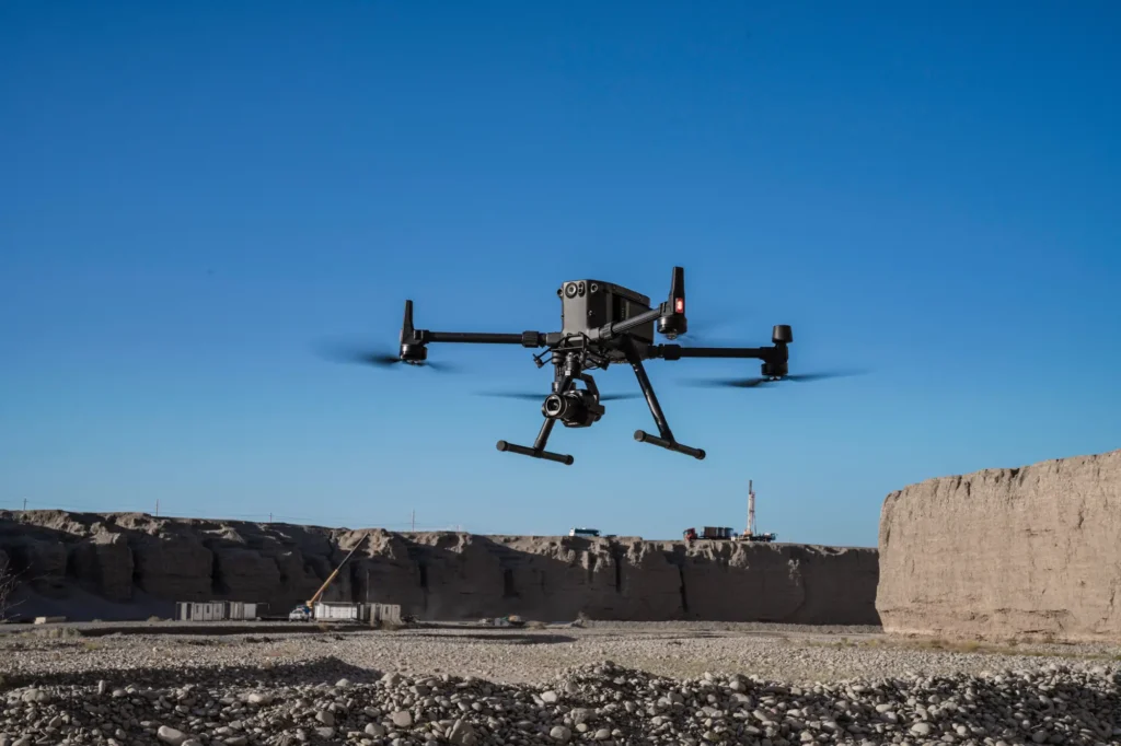 aerial mapping
Survey & Geospatial
Our strongest detailed capability: survey-grade mapping, measurement and spatial deliverables.
View pathway →
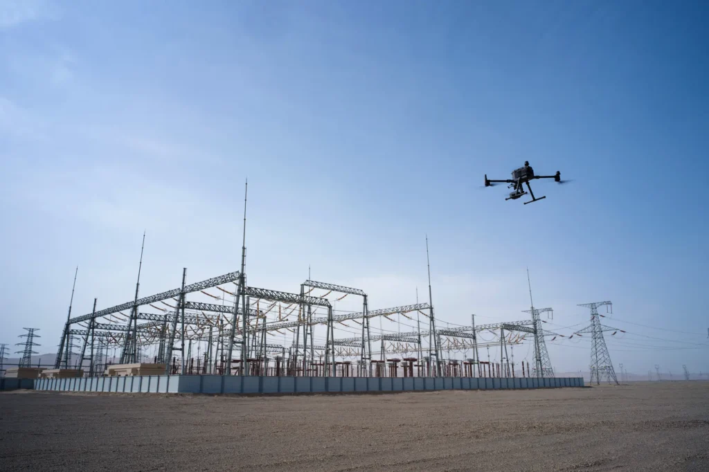 infrastructure inspection
Asset Management
Condition data and inspection workflows that keep asset records current and useful.
View pathway →
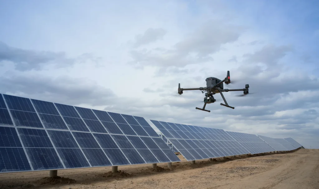 powerline inspection
Energy & Utilities
Inspection and monitoring across networks, generation and distribution infrastructure.
View pathway →
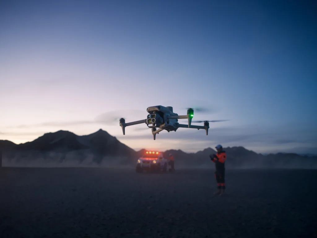 operator in field
Public Safety
Situational awareness and rapid aerial data for response and planning teams.
View pathway →
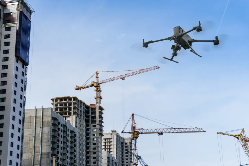 construction site survey
Construction
Site progress, volumes and as-built data captured on a repeatable schedule.
View pathway →
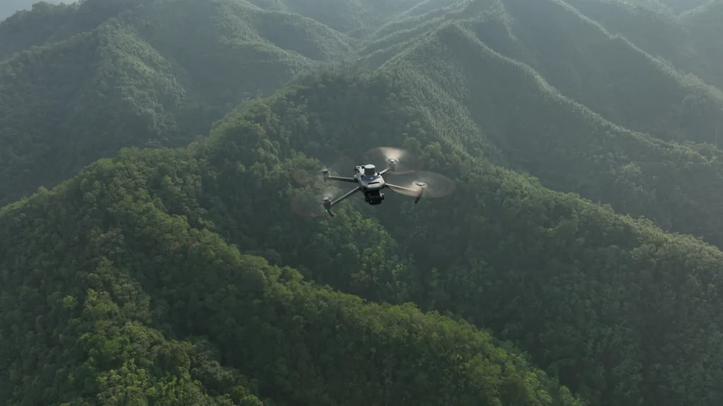 forestry terrain
Forestry
Coverage and monitoring across terrain that is hard to reach on the ground.
View pathway →
Technology ecosystem
The technology behind the capability: chosen for your workflow, not a catalogue.
We stay technology-agnostic. Platforms, sensors and software are selected and integrated around the outcome you’re trying to reach, and made to work together in practice.
Flight hardware & platforms
Enterprise airframes and payloads matched to range, endurance and the data you need.
Remote operations & automation
Docks, automated missions and command platforms for repeatable, hands-off capture.
Software, data & analytics
Capture, processing and analytics pipelines that turn flights into decision-ready deliverables.
Systems integration
Connecting drone data into the GIS, asset and reporting systems your teams already use.
Emerging capabilities
BVLOS, new sensors and evolving technology assessed and folded in as they mature.

Why AeroIQ
Independence by design, not dependence.
Most providers want to keep flying for you. We’d rather build a capability you own: the workflows, the skills and the systems to run it yourselves, with us there when you need us.
- Honest adviceGuidance grounded in what actually works, not what we’re trying to sell.
- Capability, not dependenceWe build your team’s skills so you’re not reliant on us to fly.
- Operational readinessProgrammes designed to hold up in the real operating environment from day one.
- Long-term ownershipMaintenance, records and know-how handed over, so the capability is genuinely yours.