
Industries
Drone capability, shaped around your sector.
Every industry runs drones against different workflows, constraints and deliverables. Start with the sector closest to yours.
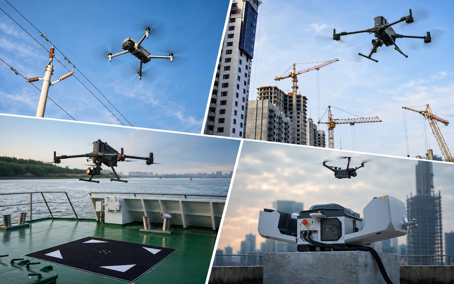
Industries
Six sectors, one proven lifecycle.
The same programme lifecycle, shaped around the workflows, assets and reporting each sector actually runs on. Survey & Geospatial carries our deepest published capability today.
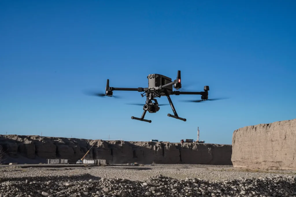 aerial mapping
Survey & Geospatial
Our strongest detailed capability: survey-grade mapping, measurement and spatial deliverables.
View pathway →
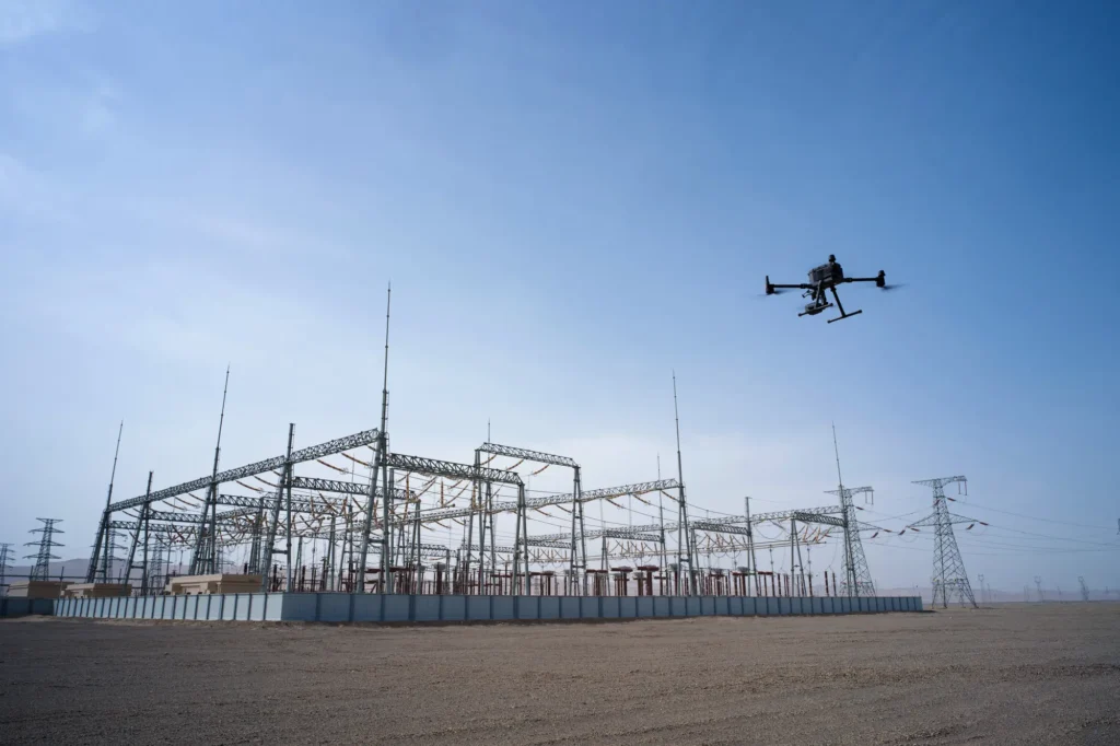 infrastructure inspection
Asset Management
Condition data and inspection workflows that keep asset records current and useful.
View pathway →
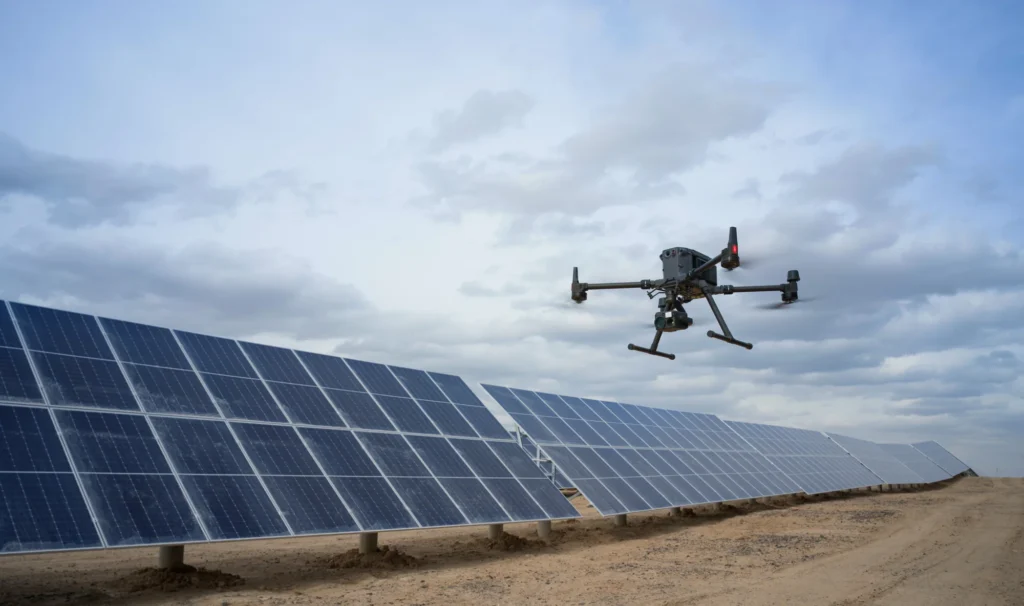 powerline inspection
Energy & Utilities
Inspection and monitoring across networks, generation and distribution infrastructure.
View pathway →
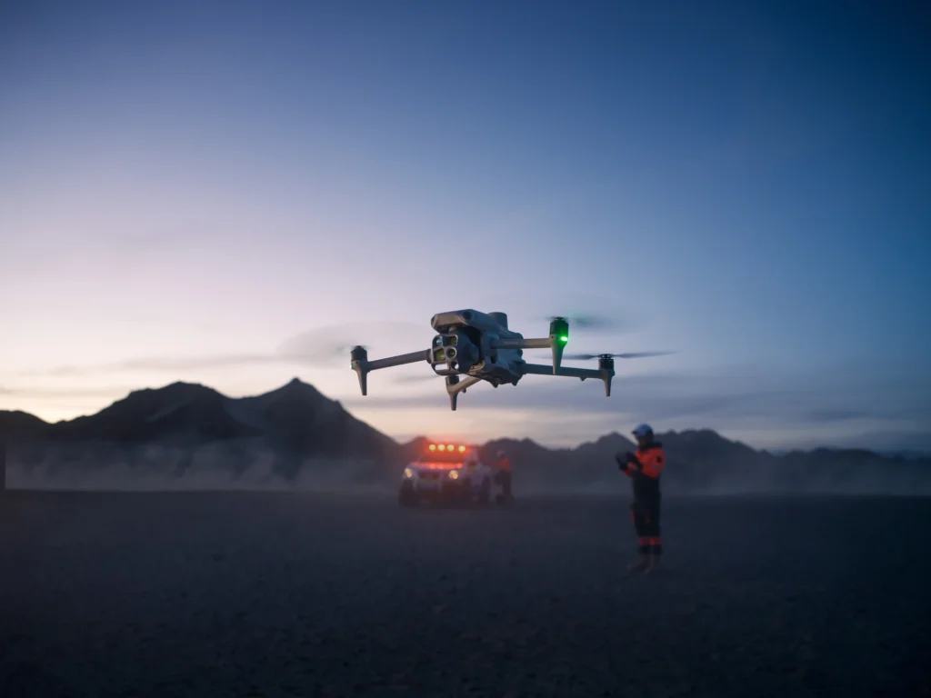 operator in field
Public Safety
Situational awareness and rapid aerial data for response and planning teams.
View pathway →
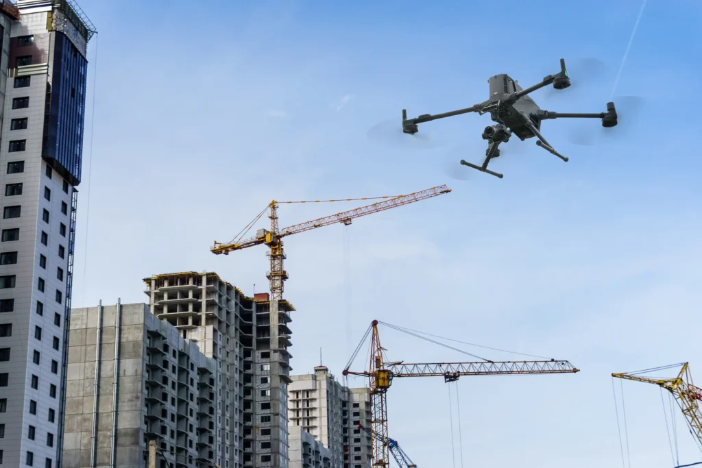 construction site survey
Construction
Site progress, volumes and as-built data captured on a repeatable schedule.
View pathway →
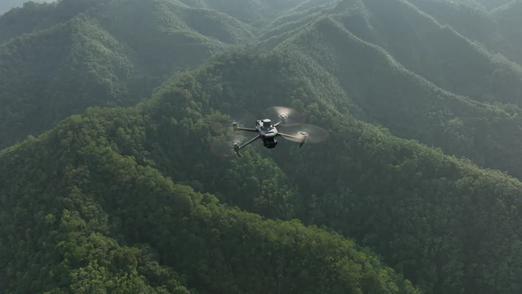 forestry terrain
Forestry
Coverage and monitoring across terrain that is hard to reach on the ground.
View pathway →

Let’s talk