
INDUSTRY · Survey & Geospatial
Precision aerial data for smarter, faster decision-making.
Survey-grade drone capability: accurate, compliant and operationally robust, producing outputs that integrate straight into your GIS, CAD and engineering workflows.
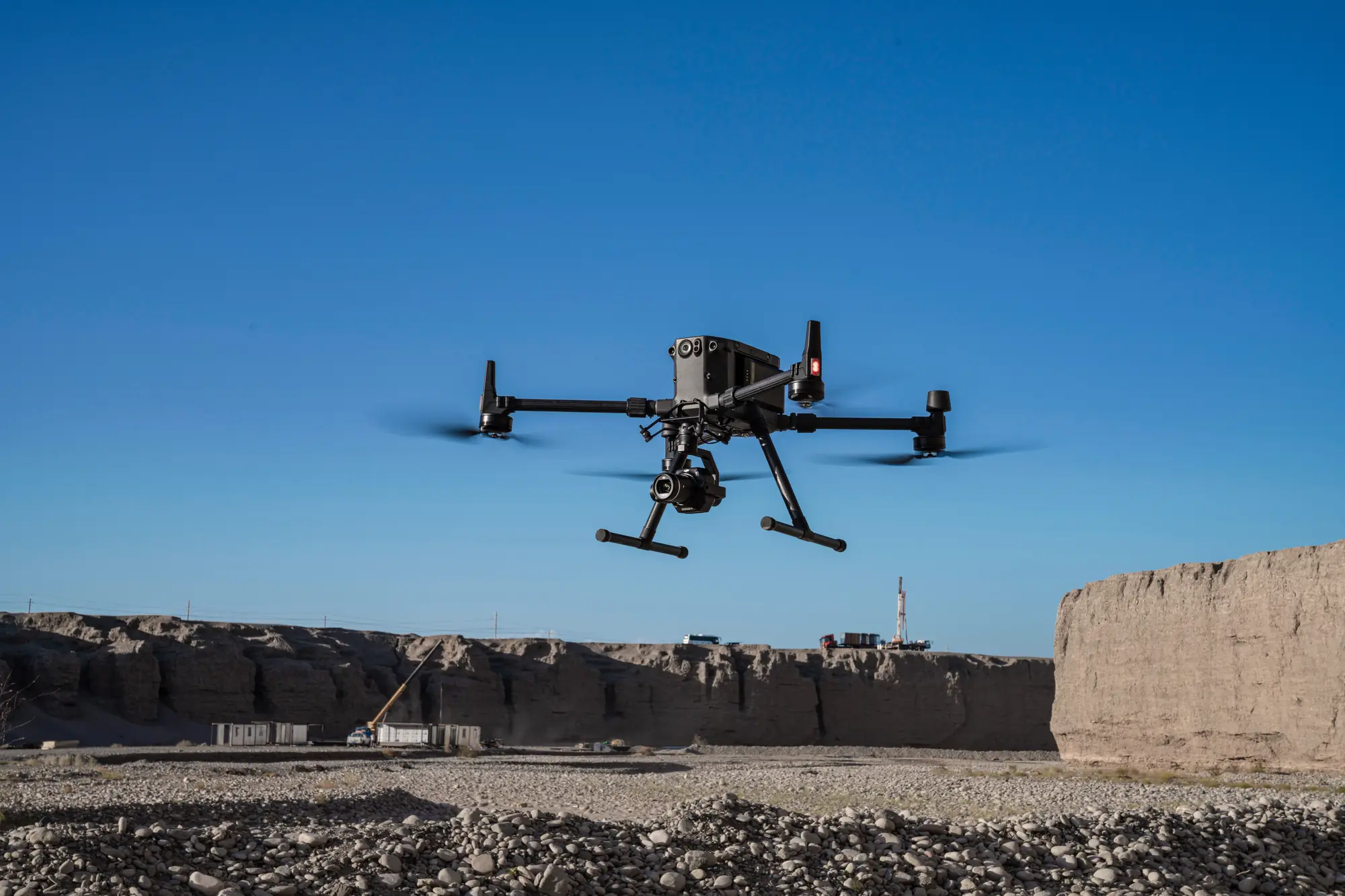
Why drones
60–90%
REDUCTION IN FIELD TIME
- Safer operations: no need to access hazardous terrain
- Survey-grade accuracy with RTK/PPK
- High-resolution, multi-format outputs
- Repeatable, scalable workflows
- Lower operational costs
Drones don’t replace surveyors. They amplify them.
Key use cases
Where drone surveying earns its place.
01
Topographic & contour surveys
Drone-based topographic and contour surveys allow surveyors to capture large, complex areas with centimetre-level accuracy far more efficiently than traditional ground methods. High-density DSMs, DTMs, contours, and point clouds provide a complete representation of the terrain, reducing the need for revisits and improving design confidence, ideal for engineering design, feasibility assessments, and pre-construction modelling.
DSM · DTM · CONTOURS · POINT CLOUDS
02
Construction & earthworks measurement
Rapid and repeatable measurements support progress tracking, contractor validation, and cut/fill analysis. High-resolution orthomosaics and 3D models let teams visualise change over time, while volumetric calculations deliver defensible data for earthworks quantities, improving reporting accuracy and reducing disputes.
VOLUMETRICS · ORTHOMOSAICS · 3D MODELS
03
Land development & planning
Accurate base layers support early-stage design, feasibility studies, and stakeholder engagement. Orthomosaics and CAD-ready surfaces integrate directly into engineering and planning software, enabling teams to identify site constraints earlier, reduce design rework, and accelerate project approvals.
ORTHOMOSAICS · CAD-READY SURFACES
04
Infrastructure & corridor mapping
Roads, rail, powerlines, and pipelines: drones excel at following linear assets with consistent altitude and overlap, producing georeferenced imagery, point clouds, and corridor models for design validation, condition assessment, and long-term maintenance planning, without surveyors working near live traffic or hazardous infrastructure.
CORRIDOR MODELS · IMAGERY · POINT CLOUDS
05
Mining & quarry surveying
Drone-derived 3D meshes and volumetric reports support stockpile management, blast planning, and operational optimisation. Reducing the need to access unstable or hazardous areas improves safety while delivering more complete and defensible data for production reporting and compliance.
3D MESHES · VOLUMETRIC REPORTS
06
Disaster response & rapid assessment
Immediate situational awareness without exposing personnel to danger. Rapid orthomosaics and 3D models help emergency teams assess damage, identify access routes, and prioritise response actions. Speed of deployment and large-area coverage make drones indispensable for post-event assessment and recovery planning.
RAPID ORTHOMOSAICS · 3D MODELS
Deliverables
Drone data outputs.
A suite of deliverables traditional methods cannot match for speed, resolution or completeness.
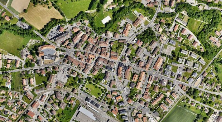
Orthomosaics
High-resolution, distortion-free georeferenced aerial maps
Used for
- Planning
- inspections
- GIS base layers
2–5 cm accuracy
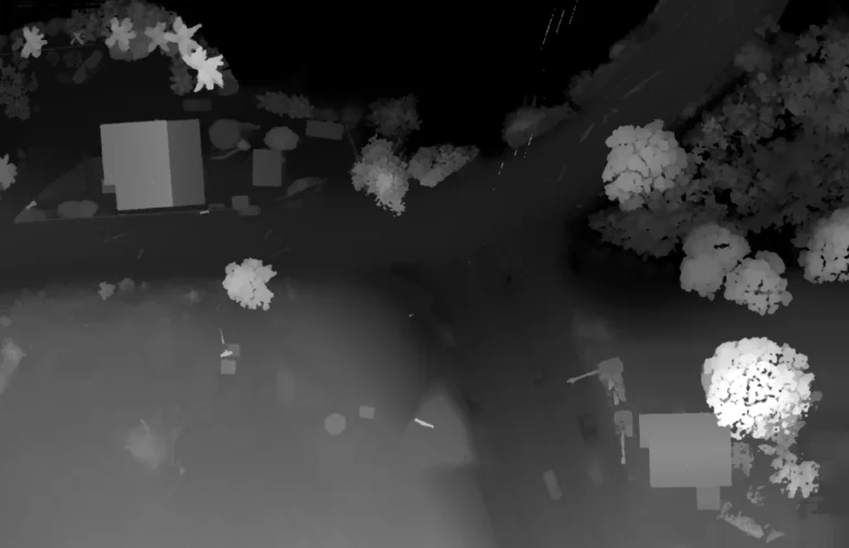
Digital Surface Models
Elevation of all visible surfaces, structures and vegetation
Used for
- Earthworks
- hydrology
- cut/fill
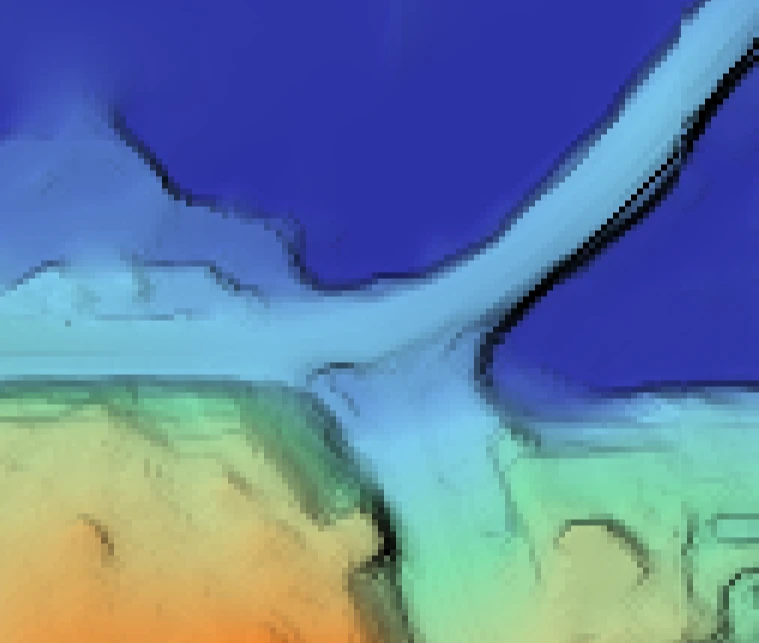
Digital Terrain Models
The true underlying ground surface, vegetation removed
Used for
- Engineering design
- contours
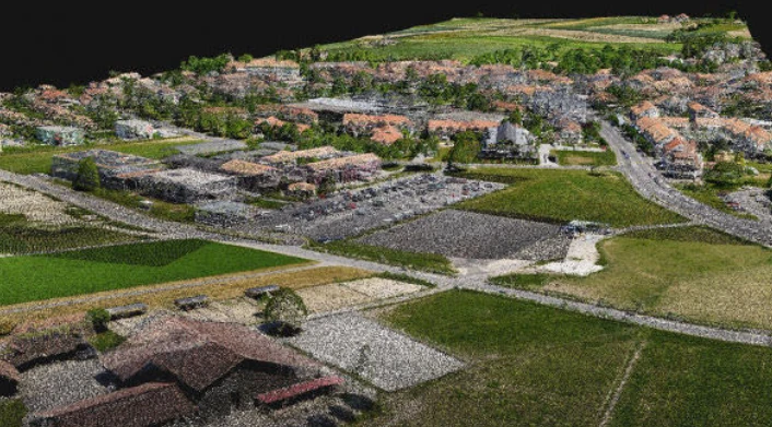
3D point clouds
Millions of georeferenced points, classifiable into surfaces
Used for
- CAD modelling
- as-built verification
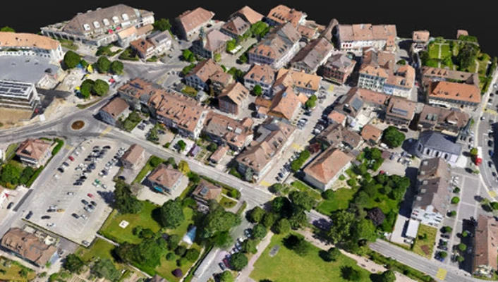
3D meshes & textured models
Realistic visual models of terrain, structures and assets
Used for
- Visualisation
- digital twins
- inspection
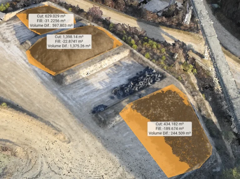
Volumetric reports
Automated stockpile, cut/fill and material-movement measurement
Used for
- Mining
- construction reporting
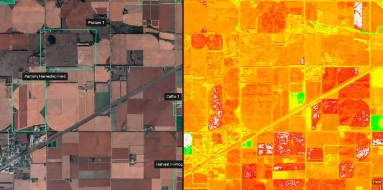
Multispectral & vegetation indices
Spectral layers beyond visible light
Used for
- Environmental
- land management
Getting it right
Survey-grade means survey-grade.
With GNSS positioning and the right drone platform, your accuracy requirements are achievable.
- RTK/PPK positioning
- Ground Control Points (GCPs)
- Checkpoints & QA workflows
- Photogrammetry vs LiDAR selection
- Clear communication of limitations
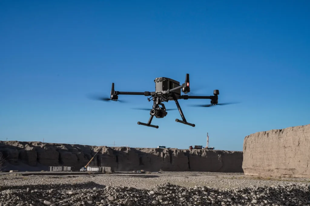
Fits the systems you already run.
Outputs arrive clean, structured and engineering-ready.
GIS
ArcGIS · QGIS
CAD
Civil 3D · 12d · MicroStation
PHOTOGRAMMETRY
DJI Terra · Pix4D · RealityCapture · DroneDeploy
LIDAR
DJI Terra · TerraScan · CloudCompare
ENTERPRISE
SharePoint · cloud storage · digital twins
Products
Systems & equipment for Survey & Geospatial
Drones
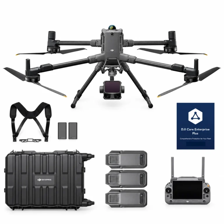
DJI Matrice 400 L3 Combo
AIQ-0100
1535 nm long-range LiDAR, dual 100MP RGB mapping cameras and a high-precision POS system, paired with the long-endurance DJI Matrice 400 enterprise platform for high-efficiency geospatial data capture. The Matrice 400 L3 Combo includes the Zenmuse L3 and three aircraft batteries, creating a complete solution for large-area surveying, corridor mapping, forestry and infrastructure projects.
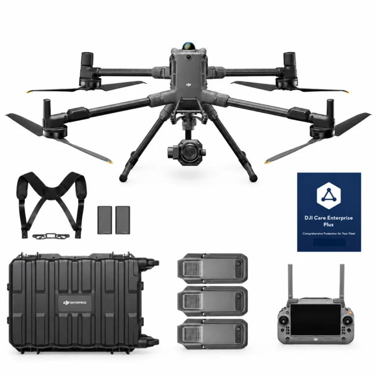
DJI Matrice 400 P1 Combo
AIQ-0101
45MP full-frame photogrammetry camera, global mechanical shutter and support for interchangeable 24 mm, 35 mm and 50 mm DJI DL lenses, paired with the long-endurance DJI Matrice 400 enterprise platform for high-accuracy aerial mapping. The Matrice 400 P1 Combo includes the Zenmuse P1 and three aircraft batteries, creating a complete solution for surveying, construction, land development, mining and large-scale photogrammetry projects.
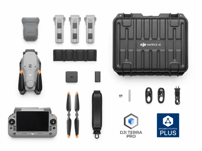
DJI Matrice 4E Essentials Combo
AIQ-0090
Combining a 20MP 4/3” CMOS, mechanical-shutter camera with RTK positioning and intelligent mapping tools to form the ultimate compact mapping drone. Fast image capture, multi-directional photography and Smart 3D capabilities help streamline aerial data collection across surveying, construction and geospatial projects.
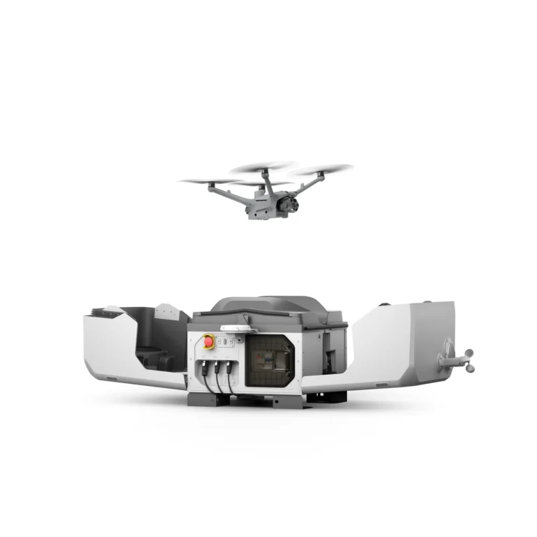
Dock Systems
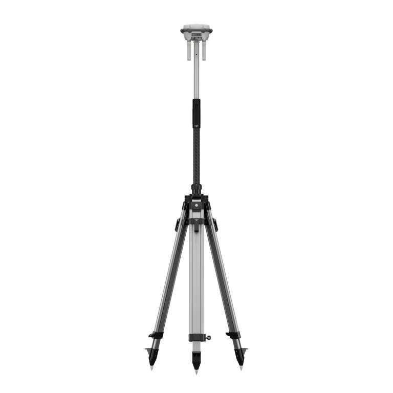
Accessories & Parts
Our services
How AeroIQ helps in this sector
Drone Consulting
Plan the right drone programme, workflows, governance and technology pathway from the start.
Drone Training
Build internal pilot capability through practical training, coaching and real-world operating scenarios.
Drone Hardware
Choose, configure and validate drone hardware, sensors and software so it works from day one.

Let’s talk