
Product
DJI Matrice 400 P1 Combo
DJI · AIQ-0101 · Matrice 400
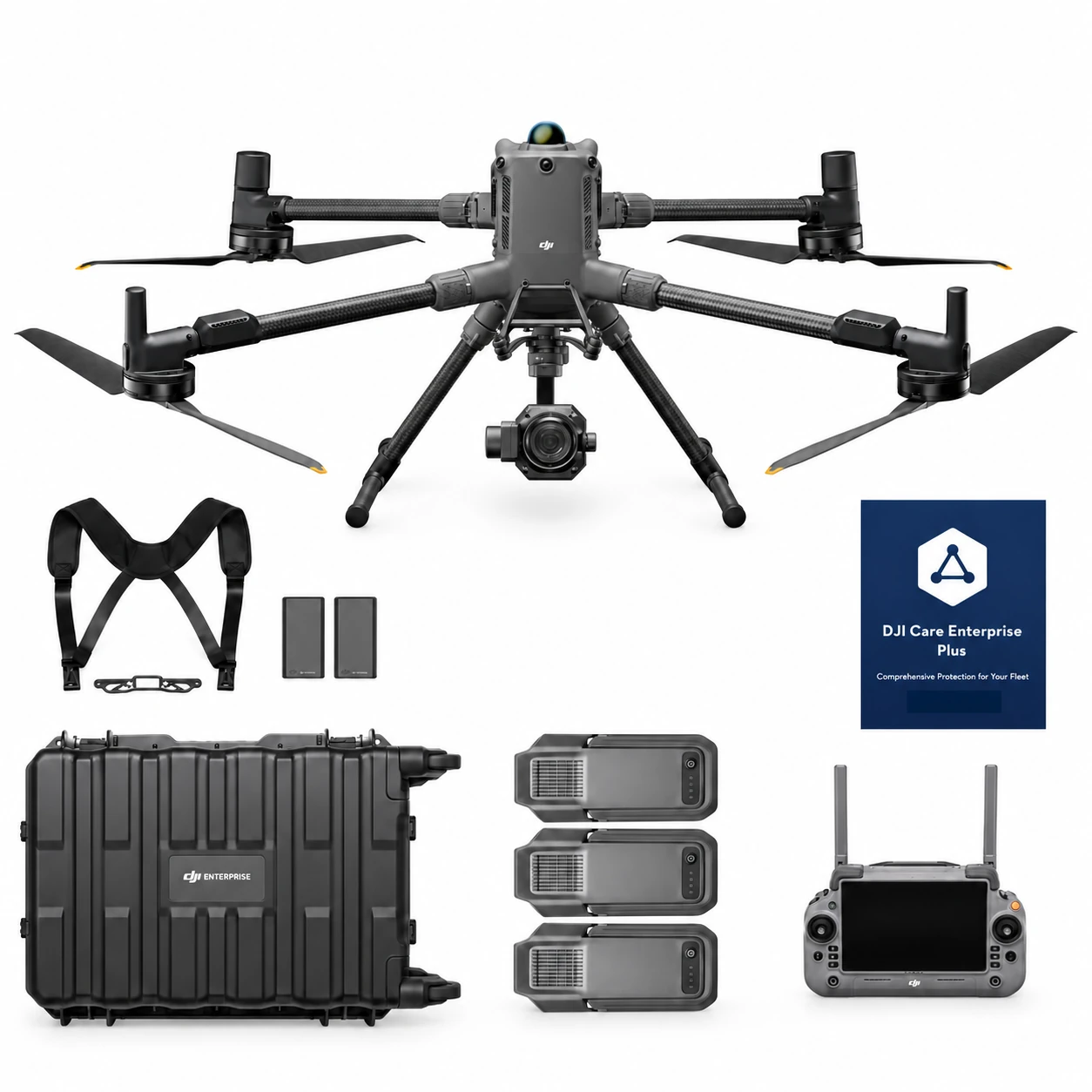
45MP full-frame photogrammetry camera, global mechanical shutter and support for interchangeable 24 mm, 35 mm and 50 mm DJI DL lenses, paired with the long-endurance DJI Matrice 400 enterprise platform for high-accuracy aerial mapping. The Matrice 400 P1 Combo includes the Zenmuse P1 and three aircraft batteries, creating a complete solution for surveying, construction, land development, mining and large-scale photogrammetry projects.
- Max flight time59 min
- Max payload6 kg
- Max takeoff weight15.8 kg
- Max wind resistance12 m/s
- Ingress protectionIP55
- Max transmission distance40 km
Overview
About this product.
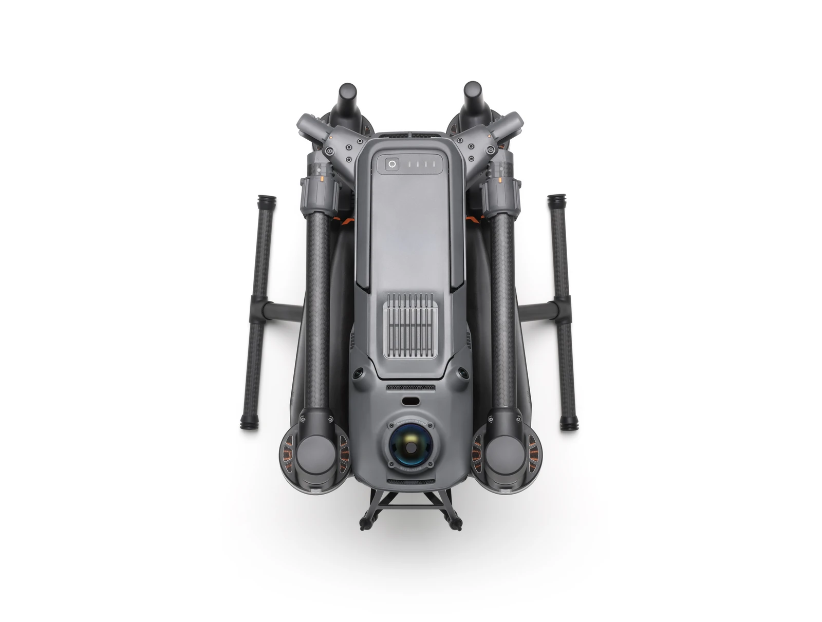
The DJI Matrice 400 P1 Combo combines DJI's flagship enterprise aircraft with the Zenmuse P1 full-frame photogrammetry payload in a package designed for professional surveying, mapping, 3D modelling, and high resolution inspection imagery. The Matrice 400 provides extended flight endurance, a maximum payload capacity of 6 kg, advanced obstacle sensing and IP55 protection, creating a capable platform for high-efficiency aerial data capture across large and complex sites.
This combo includes the core Matrice 400 package together with the DJI Zenmuse P1 and two additional batteries, providing three aircraft batteries in total. It is particularly suited to organisations requiring high-resolution aerial imagery for topographic surveys, construction and earthworks, land development, mining, infrastructure mapping and other photogrammetry applications where accuracy, image quality and efficient site coverage are important.
Zenmuse P1
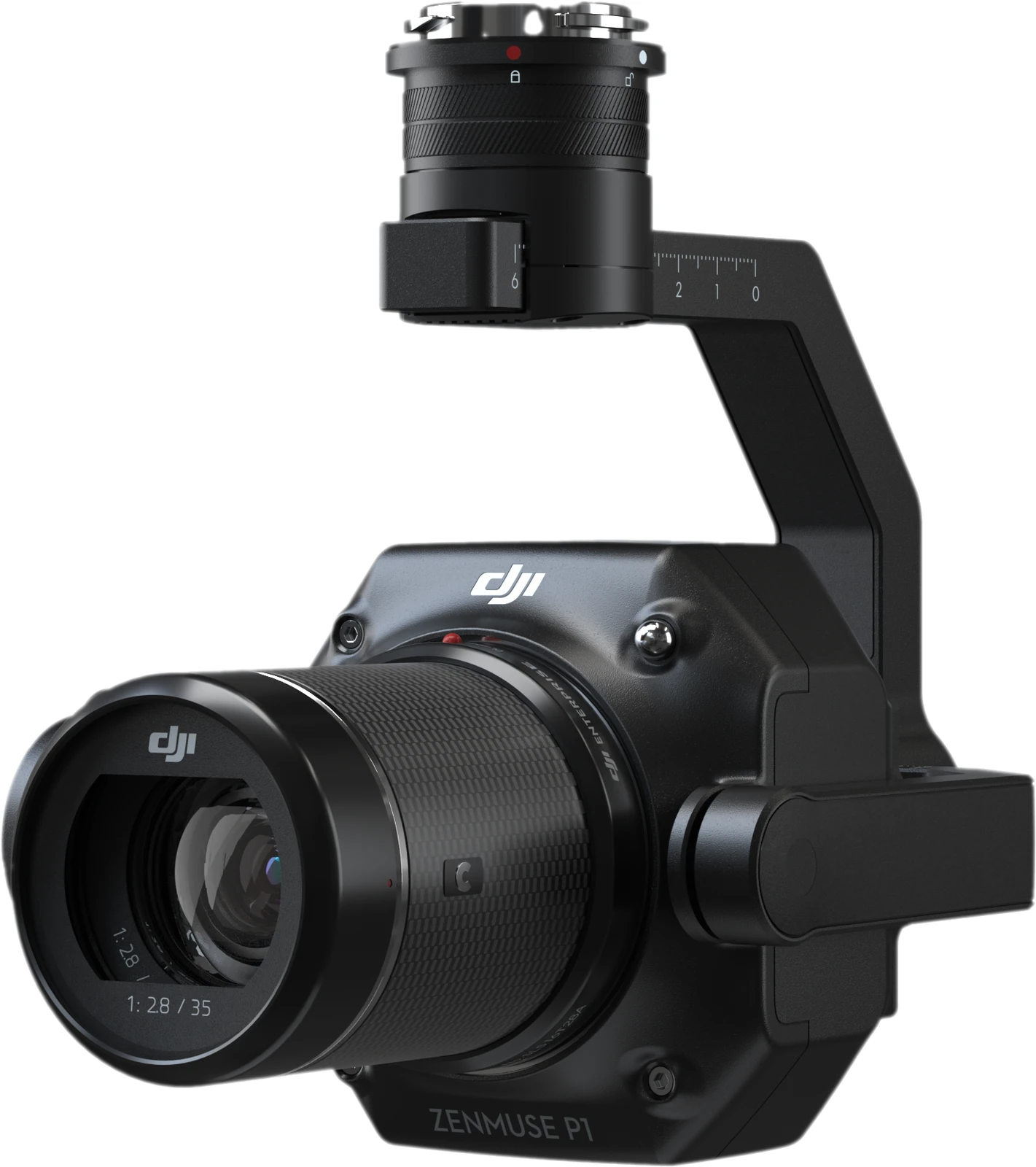
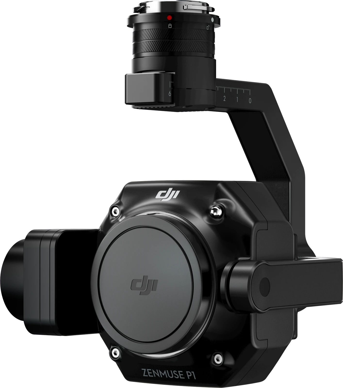
The DJI Zenmuse P1 is a professional aerial photogrammetry payload built around a 45MP full-frame sensor and a three-axis stabilised gimbal. Designed specifically for high-accuracy mapping missions, it supports interchangeable 24 mm, 35 mm and 50 mm DJI DL fixed-focus lenses, allowing the camera configuration to be matched to different survey areas, operating heights and data-capture requirements.
A global mechanical shutter with speeds of up to 1/2000 second helps minimise motion distortion during aerial data capture, while the camera can capture images at intervals as short as 0.7 seconds. DJI's TimeSync 2.0 synchronises the camera, flight controller, RTK module and gimbal at the microsecond level, supporting centimetre-level mapping outputs when used within DJI's specified operating conditions.
The P1 also supports Smart Oblique Capture, automatically rotating the gimbal to collect the angles required for detailed 3D reconstruction while avoiding unnecessary images around the edges of the survey area. Combined with the Matrice 400 and DJI Terra, this provides an integrated aerial photogrammetry workflow from mission planning and image capture through to orthomosaics, point clouds and detailed 3D models.
Flexible Payload Compatibility
While the Matrice 400 P1 Combo is supplied with the Zenmuse P1, the aircraft remains a flexible multi-payload platform and can be reconfigured as operational requirements change. Compatible options include the Zenmuse L3 and L2 for LiDAR capture, Zenmuse H30 Series for detailed visual and thermal inspection, as well as the Zenmuse S1 Spotlight, V1 Speaker, Manifold 3 and supported third-party payloads. This allows the same Matrice 400 aircraft to support photogrammetry, LiDAR surveying, inspection, asset management and other enterprise workflows beyond its primary P1 configuration.
Photogrammetry Surveying and Mapping
- 45MP Full-Frame Sensor: Capture high-resolution imagery using a 35.9 × 24 mm full-frame sensor with 45MP effective resolution and a 4.4 μm pixel size, providing detailed source imagery for professional photogrammetry.
- Global Mechanical Shutter: Mechanical shutter speeds of up to 1/2000 second help reduce motion distortion during mapping flights and support reliable image capture at higher operating speeds.
- 0.7-Second Image Capture: The P1 can capture a photograph every 0.7 seconds, supporting efficient collection across large survey areas.
- 24 mm, 35 mm and 50 mm Lens Support: Interchangeable DJI DL fixed-focus lenses allow operators to configure the P1 around different mapping scales, flight heights and project requirements.
- Smart Oblique Capture: The three-axis gimbal automatically rotates to collect the required oblique perspectives, improving data-capture efficiency for detailed 3D reconstruction.
- Centimetre-Level Accuracy: Under DJI's stated test conditions, the P1 is rated for absolute accuracy of 3 cm horizontally and 5 cm vertically without GCPs.
- TimeSync 2.0: Microsecond-level synchronisation between the camera, flight controller, RTK module and gimbal supports accurate georeferencing and positioning of captured imagery.
- High-Efficiency Coverage: DJI states the P1 can cover up to 3 km² in a single flight at a 5 cm GSD under its specified operating conditions.
- Streamlined Data Management: Mission files, photos, GNSS data and TimeStamps.MRK files are organised together, while image metadata records camera parameters and RTK status for downstream processing.
- Integrated DJI Workflow: Pair the Matrice 400 and P1 with DJI Terra for an integrated workflow covering mission planning, photogrammetric processing and generation of professional mapping deliverables.
Flight Performance and Challenging Environments
- Long-Endurance Flight Performance: The Matrice 400 is designed for extended missions, helping larger survey areas and complex sites be captured with fewer interruptions.
- Up to 6 kg Payload Capacity: The Matrice 400 provides substantial payload capacity and a flexible mounting architecture for a wide range of enterprise sensors and equipment.
- IP55 Protection: Dust and water resistance supports operation in demanding outdoor environments, with the aircraft designed for temperatures from -20°C to 50°C.
- Power-Line-Level Obstacle Sensing: Rotating LiDAR, high-precision mmWave radar and low-light fisheye vision help identify small obstacles, including powerlines, in challenging terrain and lighting conditions.
- Aircraft Fusion Positioning: LiDAR, radar and vision sensing work together to provide omnidirectional sensing and stable positioning around challenging surfaces and structures.
- Full-Colour Vision Assist: Four low-light fisheye sensors provide additional visual awareness for safer operation in reduced-light environments.
Video Transmission and Connectivity
- O4 Enterprise Enhanced Transmission: The aircraft's ten-antenna system and high-gain phased-array controller antenna provide long-range image transmission for operations across large and remote sites.
- Enhanced Cellular Connectivity: Two optional DJI Cellular Dongle 2 units can allow the system to select the stronger available carrier network, helping improve connection stability where cellular coverage varies.
- Airborne Relay: One Matrice 400 can operate as an airborne relay for another aircraft, extending transmission coverage in mountainous terrain and other obstructed environments.
Intelligent Mapping and Automated Operations
- Real-Time Terrain Follow: Maintain a stable relative height above changing ground elevation during manual or automated flights, helping maintain a consistent ground sampling distance across variable terrain.
- Slope and Geometric Routes: DJI Pilot 2 and FlightHub 2 support automated routes for slopes, façades, inclined surfaces, individual buildings and structures, enabling efficient collection of high-precision imagery.
- Live Annotations: Mark points, measure distances and calculate areas directly from the controller, with results able to be synchronised to DJI FlightHub 2.
- AR Flight Waypoint: Preview the aircraft's planned route during Return-to-Home, obstacle sensing and FlyTo operations to provide greater visibility of the intended flight path.
- Point of Interest: Orbit a selected area while continuously capturing imagery, supporting structured observation and detailed 3D modelling of buildings and other assets.
Key capabilities
- Camera: 45MP full-frame sensor
- Sensor Size: 35.9 × 24 mm
- Pixel Size: 4.4 μm
- Shutter: Global mechanical shutter, up to 1/2000 s
- Minimum Photo Interval: 0.7 seconds
- Supported Lenses: DJI DL 24 mm, 35 mm and 50 mm fixed-focus lenses
- Absolute Accuracy: 3 cm horizontal / 5 cm vertical under DJI's stated test conditions
- Aircraft Payload Capacity: Up to 6 kg
- Aircraft Obstacle Sensing: Rotating LiDAR, high-precision mmWave radar and low-light fisheye vision
- Protection Rating: Matrice 400 IP55
- Data Processing: DJI Terra
Typical applications
Topographic surveying, cadastral surveying, construction and earthworks, land development, mining, infrastructure mapping, large-area photogrammetry, orthomosaic generation, point-cloud production and detailed 3D modelling. The combination of the P1's 45MP full-frame sensor, mechanical shutter and Smart Oblique Capture with the Matrice 400's long-endurance enterprise platform makes the P1 Combo particularly well suited to projects where large areas need to be captured efficiently while maintaining the image quality and positional accuracy required for professional photogrammetric outputs. DJI also positions the Matrice 400 and P1 combination for land surveying, cadastral work and detailed reconstruction applications.
What you get
What’s in the box.
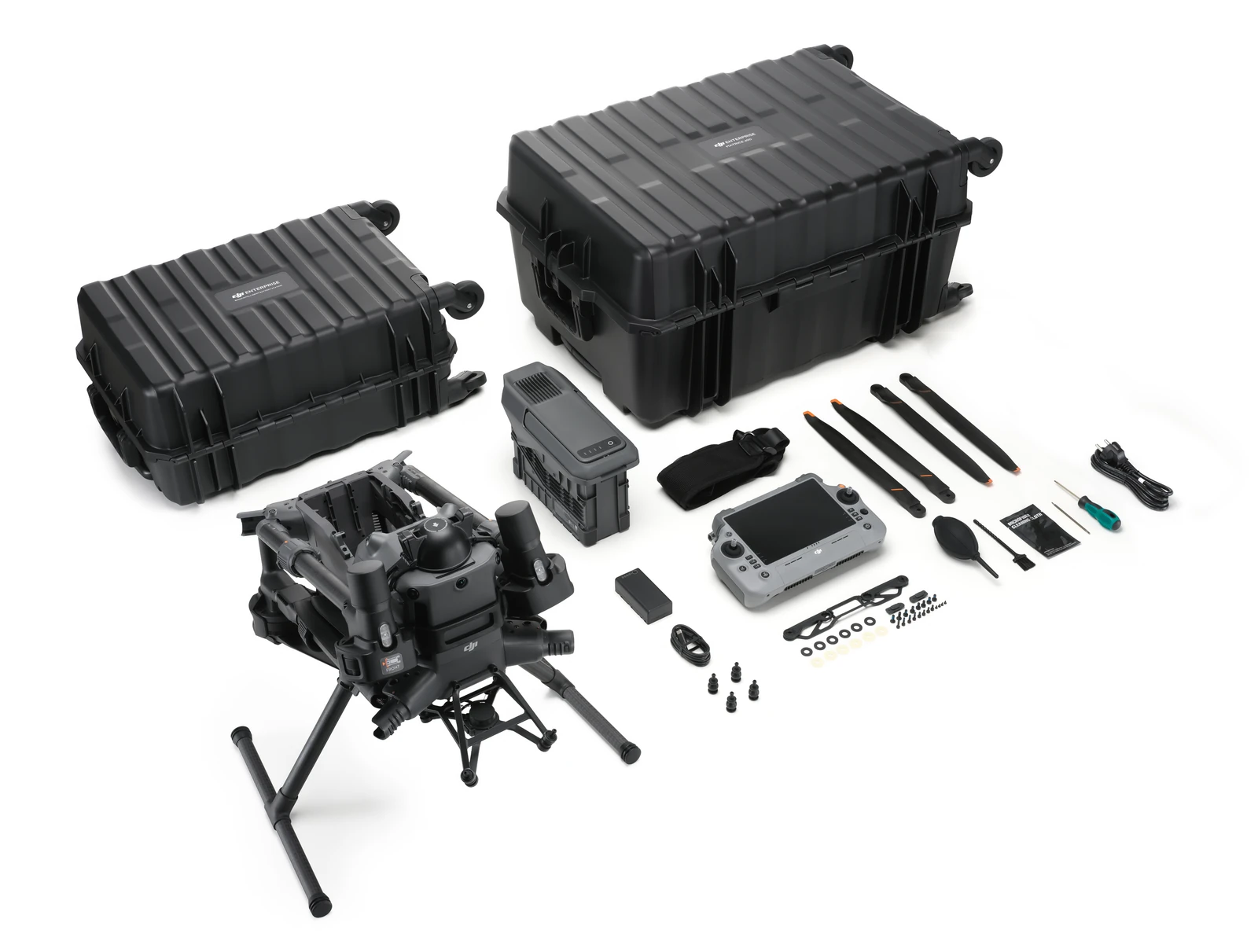
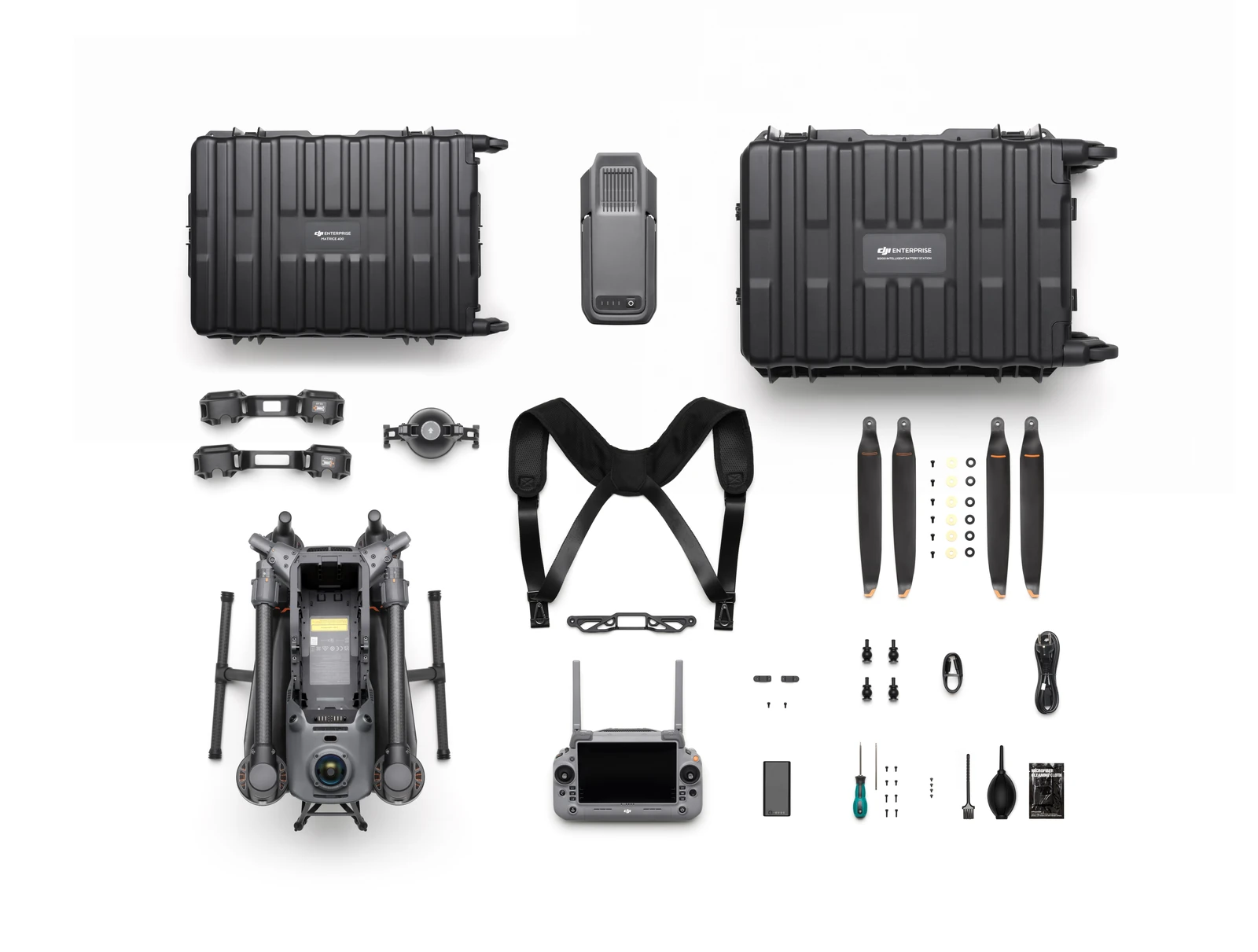
- DJI Matrice 400 Basic Kit
- Aircraft (with propeller holder) × 1
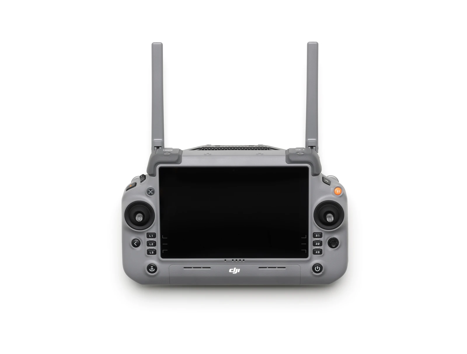
- Remote Controller (with DJI RC Plus 2 sub2G SDR Module) × 1
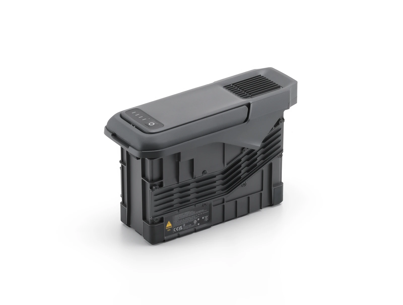
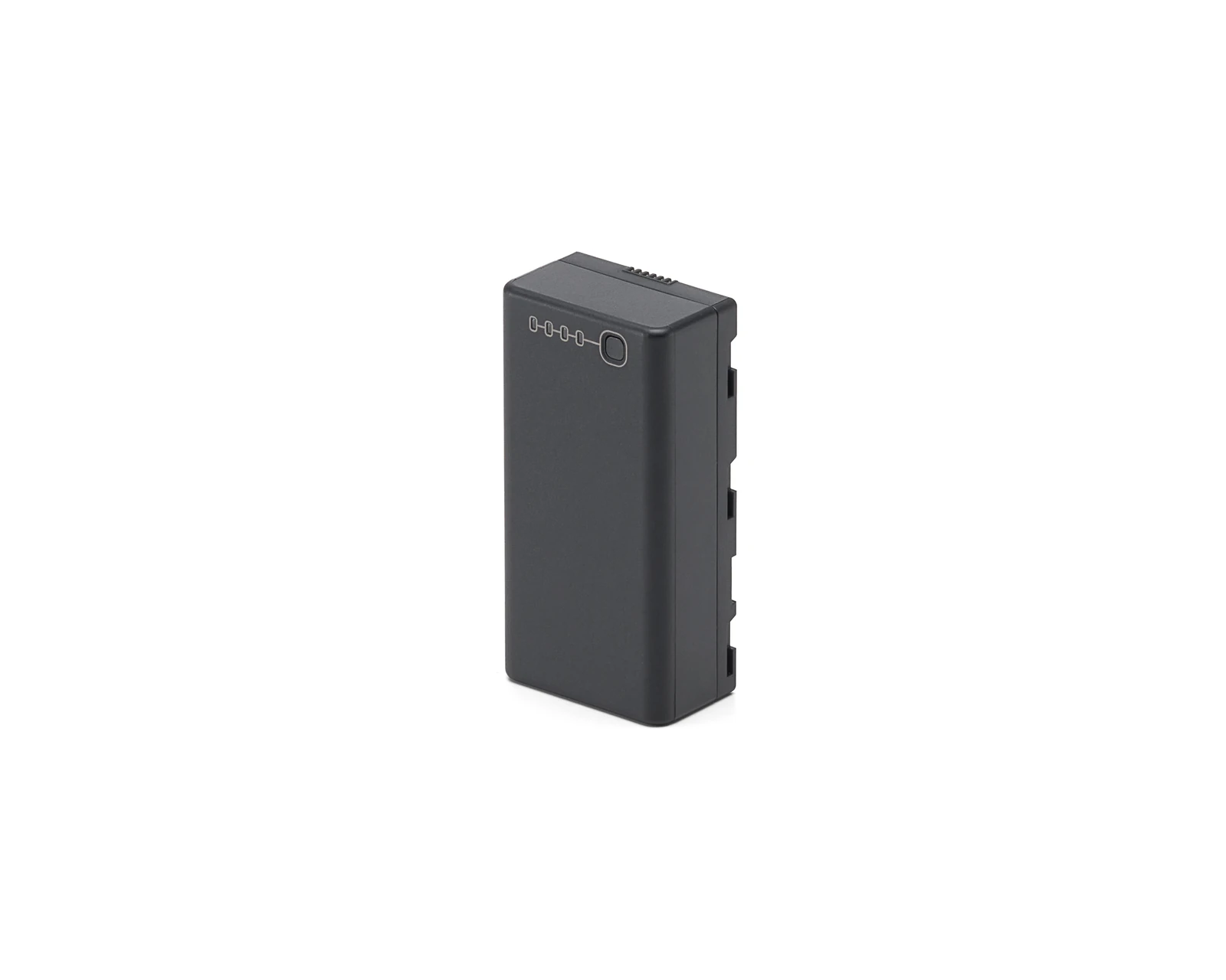
- TB100 Intelligent Flight Battery × 1
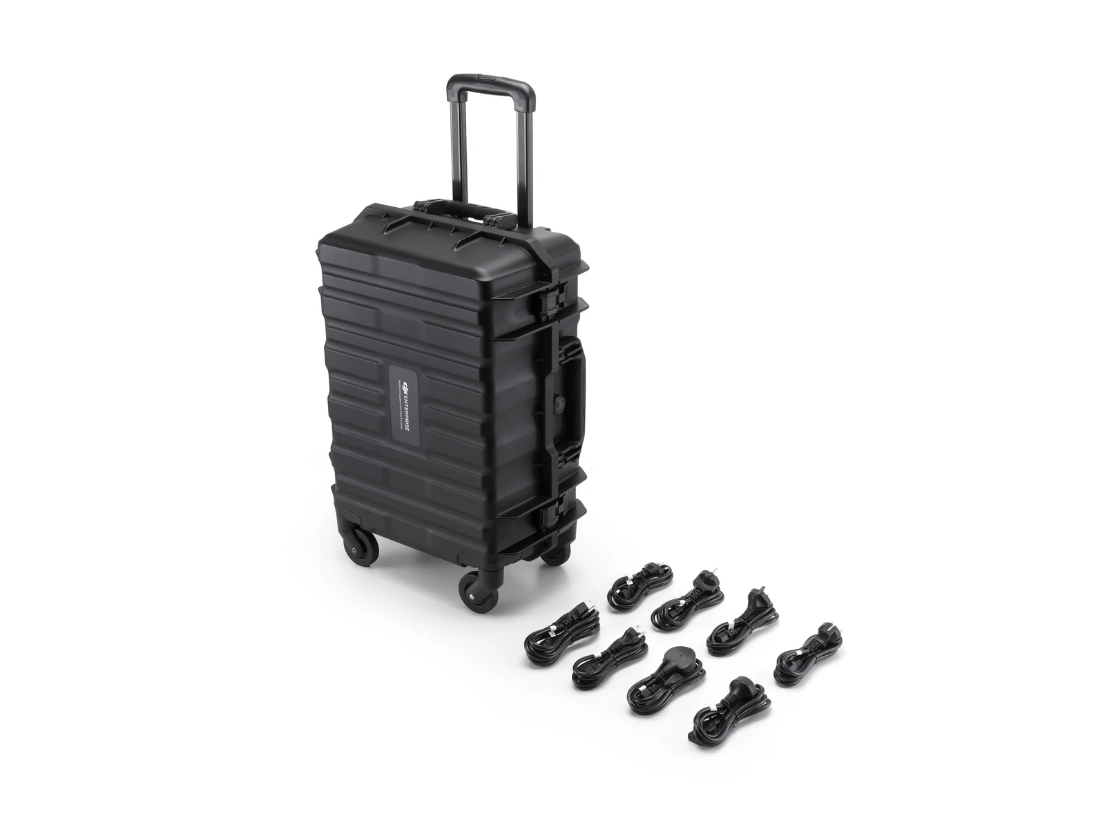
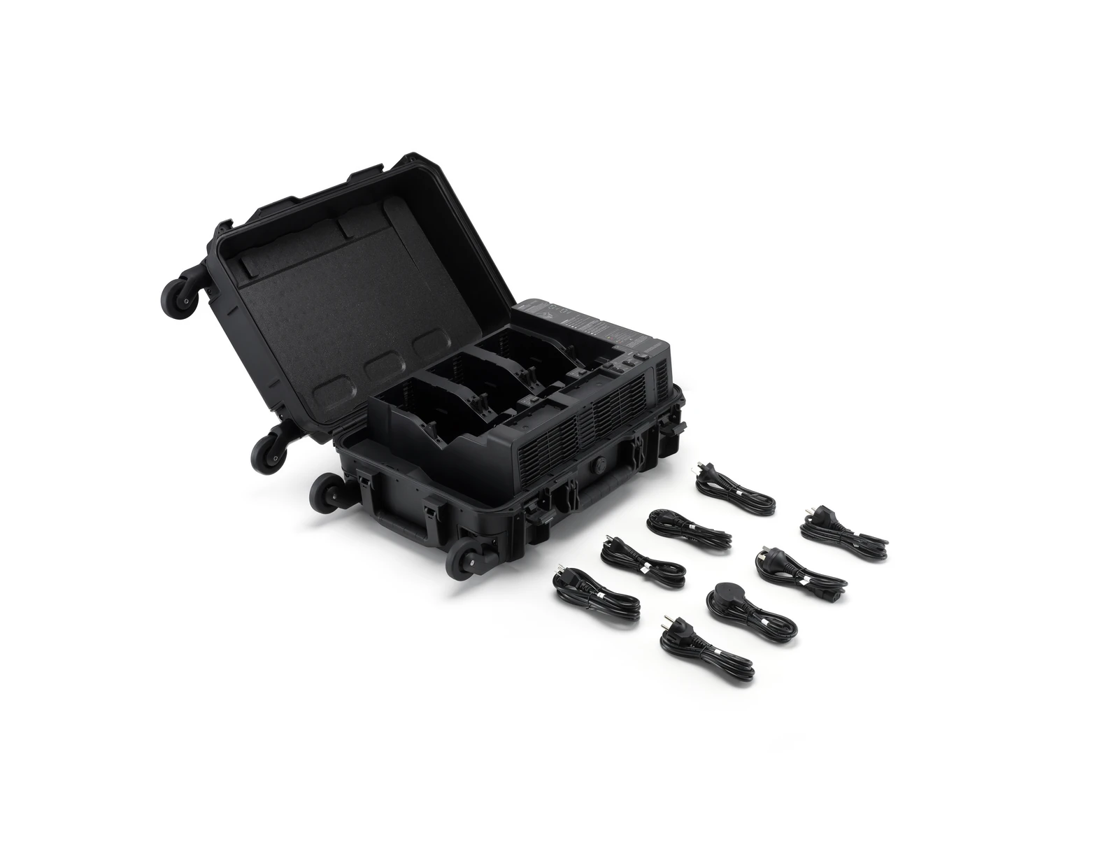
- BS100 Intelligent Battery Station × 1
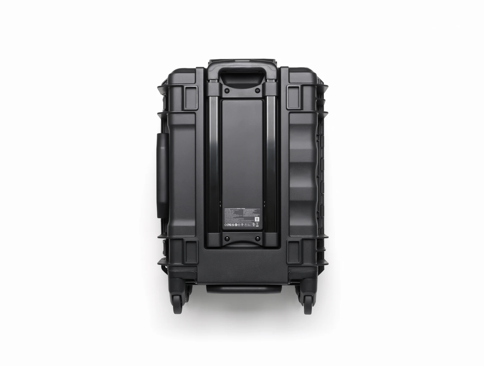
- Carrying Case × 1
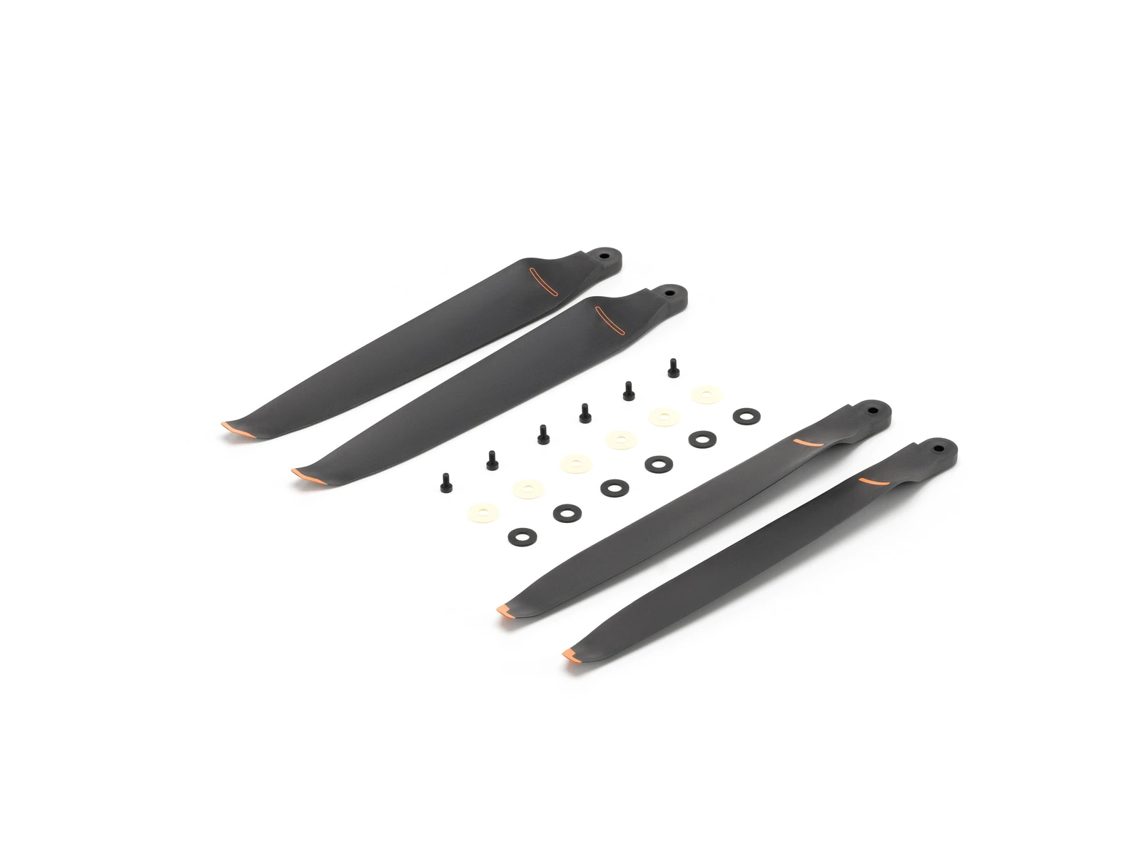
- Propellers (Pair) × 1
- Propeller Washers and Screws × 6
- Remote Controller Strap and Bracket (with two screws) × 1
- WB37 × 1
- Landing Gear × 2
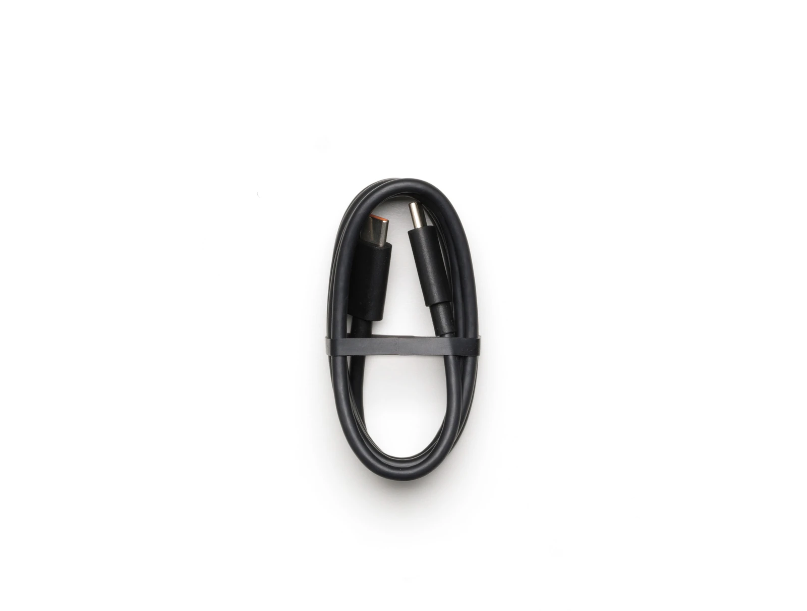
- USB C to USB C Cable × 1
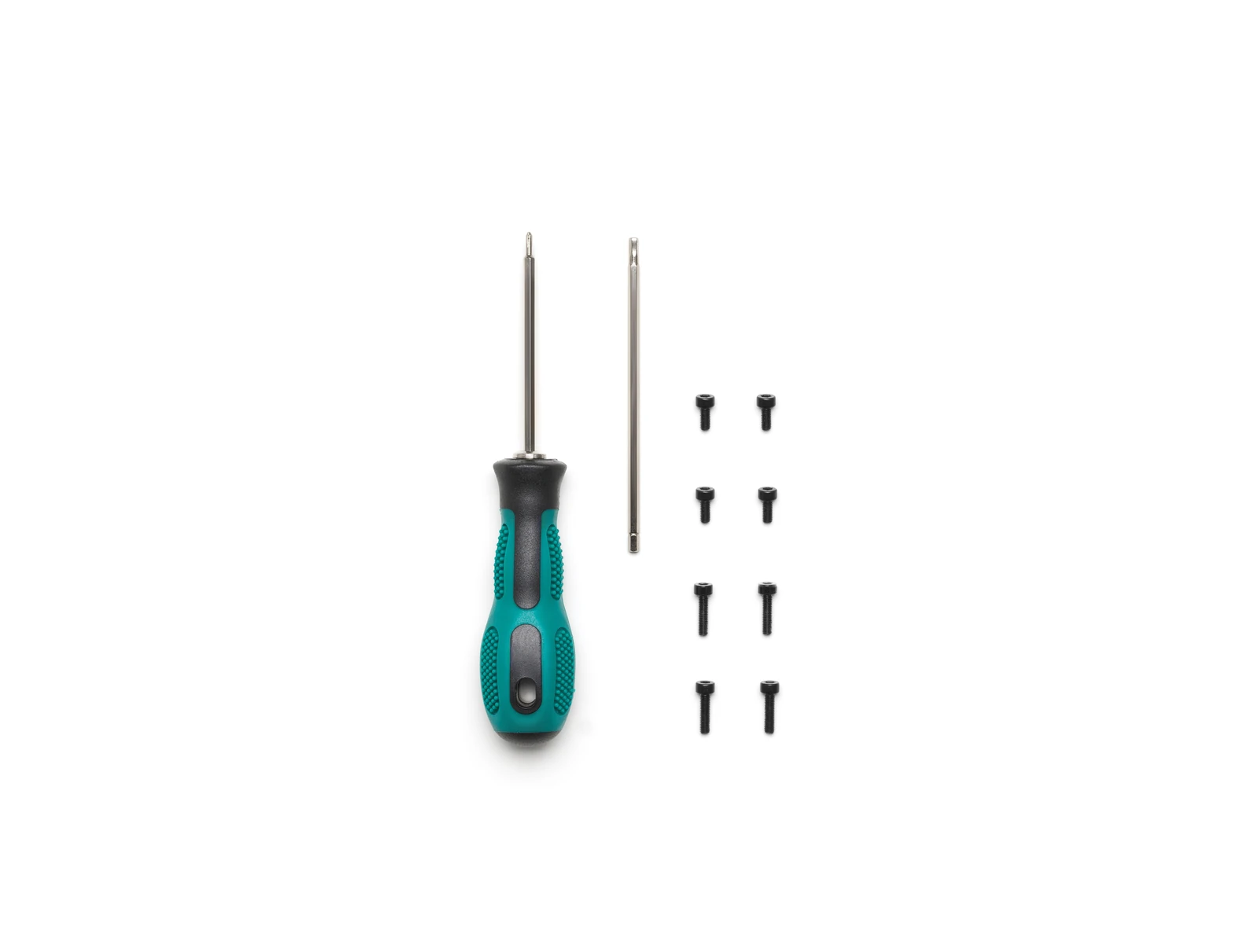
- Screws and Tools × 1
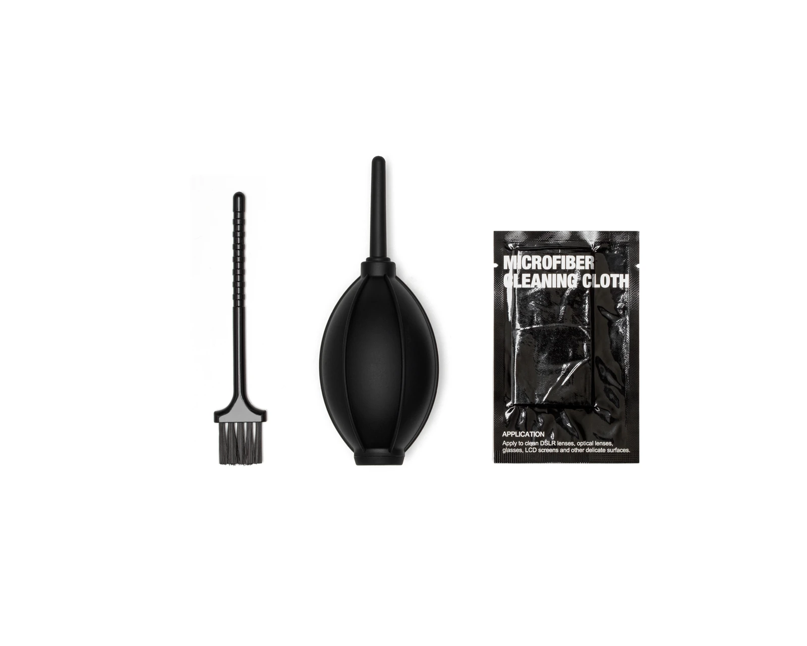
- Cleaning Tools × 1
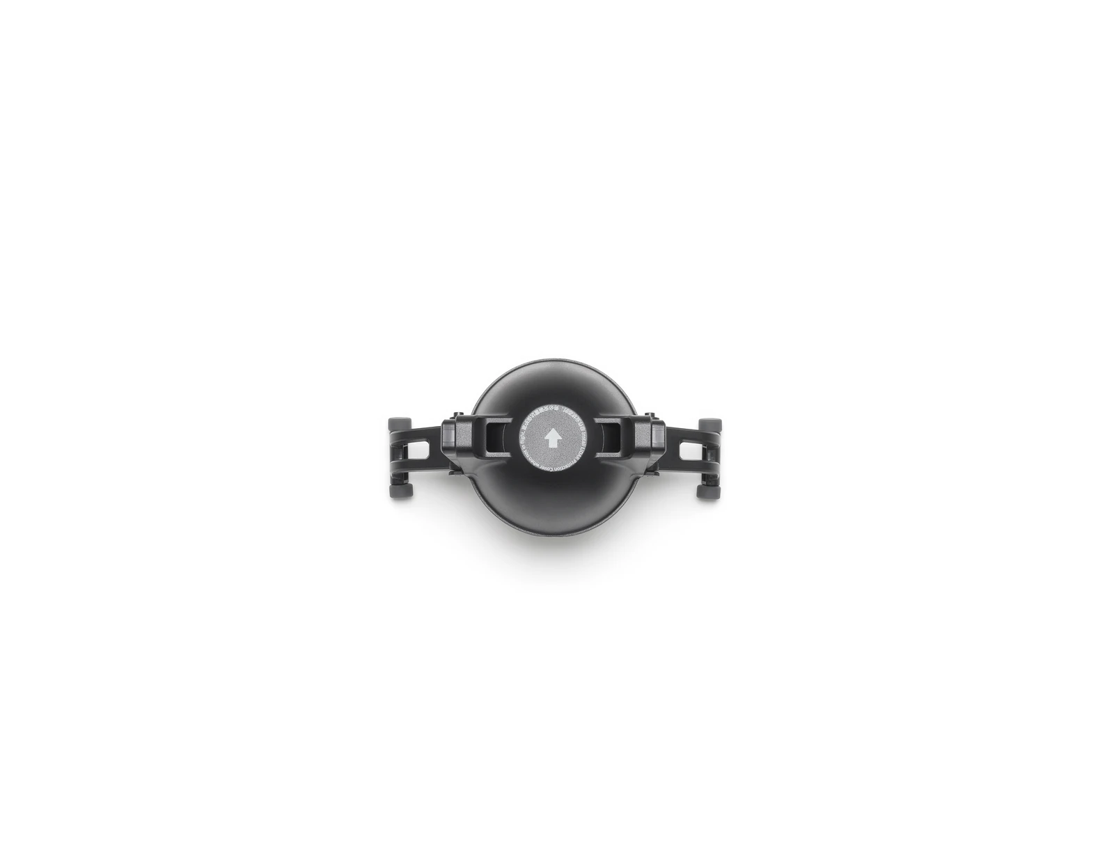
- Rubber Port Covers and Screws × 1
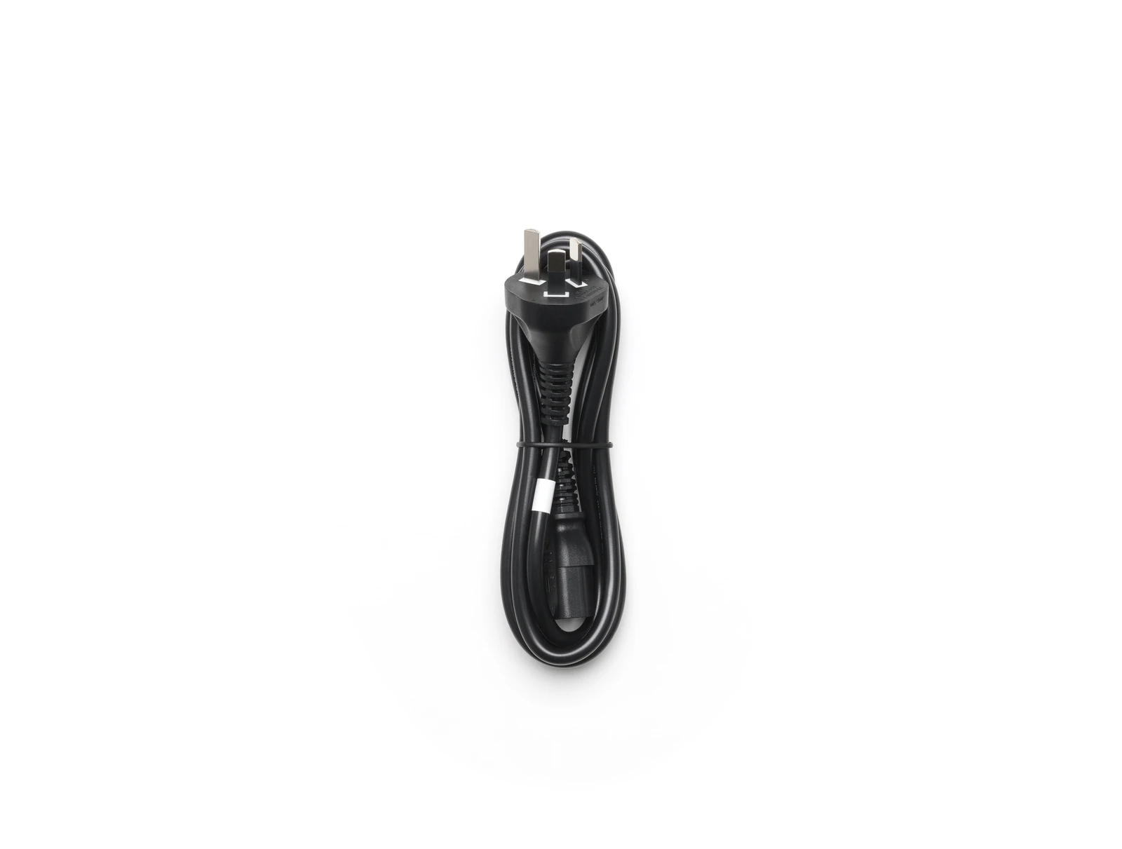
- Power Cable × 1
- Gimbal Damper × 1
- DJI Care Enterprise Plus (DJI Matrice 400) × 1
- Additional in the P1 Combo
- Zenmuse P1 × 1
- DJI Enterprise Shield Basic (Zenmuse P1) NZ × 1
- TB100 Intelligent Flight Battery × 2
- WB37 × 1
- DJI Terra Trial 6 Month Subscription × 1
Technical data
Specifications.
| Flight & physical | |
|---|---|
| Max flight time (no wind, carrying H30T) | 59 min |
| Max payload | 6 kg |
| Max takeoff weight | 15.8 kg |
| Max wind resistance | 12 m/s |
| Ingress protection | IP55 |
| Takeoff weight (with batteries) | 9740±40 g |
| Operating temperature | -20 to 50 °C |
| Dimensions (unfolded) | 980×760×480 mm |
| Dimensions (folded) | 490×490×480 mm |
| Max horizontal speed | 25 m/s |
| Max ascent / descent speed | 10 / 8 m/s |
| Max takeoff altitude | 7000 m |
| Max flight distance | 49 km |
| Max hover time | 53 min |
| Sensing & safety | |
| Obstacle sensing | Omnidirectional vision + rotating LiDAR + mmWave radar |
| Night-capable sensing | Low-light fisheye vision + 3D infrared |
| Transmission | |
| Video transmission | DJI O4 Enterprise Enhanced |
| Max transmission distance (FCC) | 40 km |
| Max transmission distance (CE/SRRC) | 20 km |
| Positioning | |
| GNSS | GPS + Galileo + BeiDou + GLONASS |
| RTK accuracy (H / V) | 1 cm + 1 ppm / 1.5 cm + 1 ppm |
| Hovering accuracy (RTK) | ±0.1 m |
Platform
Equipment for the Matrice 400.
Batteries, controllers and accessories that belong to this platform.
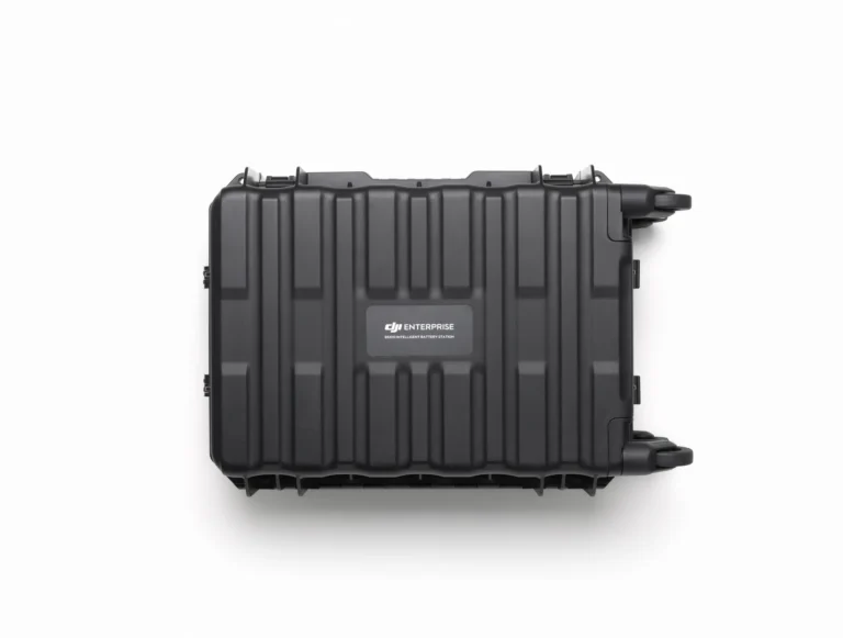
BS100 Intelligent Battery Station
AIQ-0001
The Matrice 400's battery station: three TB100 channels plus two WB37, drawing up to 2,184 W.
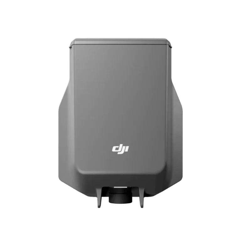
DJI AP100 Parachute
AIQ-0105
An independent parachute recovery system for the Matrice 400 with its own power and flight-termination control, deploying in under 600 ms to a descent rate below 5 m/s.

DJI Care Enterprise Basic(H30)
AIQ-0131
Accident cover for the Zenmuse H30: 12 months, including two replacements.
DJI Care Enterprise Basic(H30T)
AIQ-0130
Accident cover for the Zenmuse H30T: 12 months, including two replacements.
DJI Care Enterprise Basic(P1)
AIQ-0133
Accident cover for the Zenmuse P1: 12 months, including two replacements.
DJI Care Enterprise Plus (DJI Matrice 400)
AIQ-0104
Accident cover for the DJI Matrice 400: 12 months of repair or replacement, with coverage shareable across devices.
Where it’s used
Relevant industries.
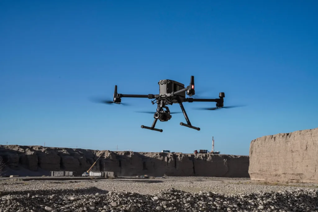 aerial mapping
Survey & Geospatial
Our strongest detailed capability: survey-grade mapping, measurement and spatial deliverables.
View pathway →
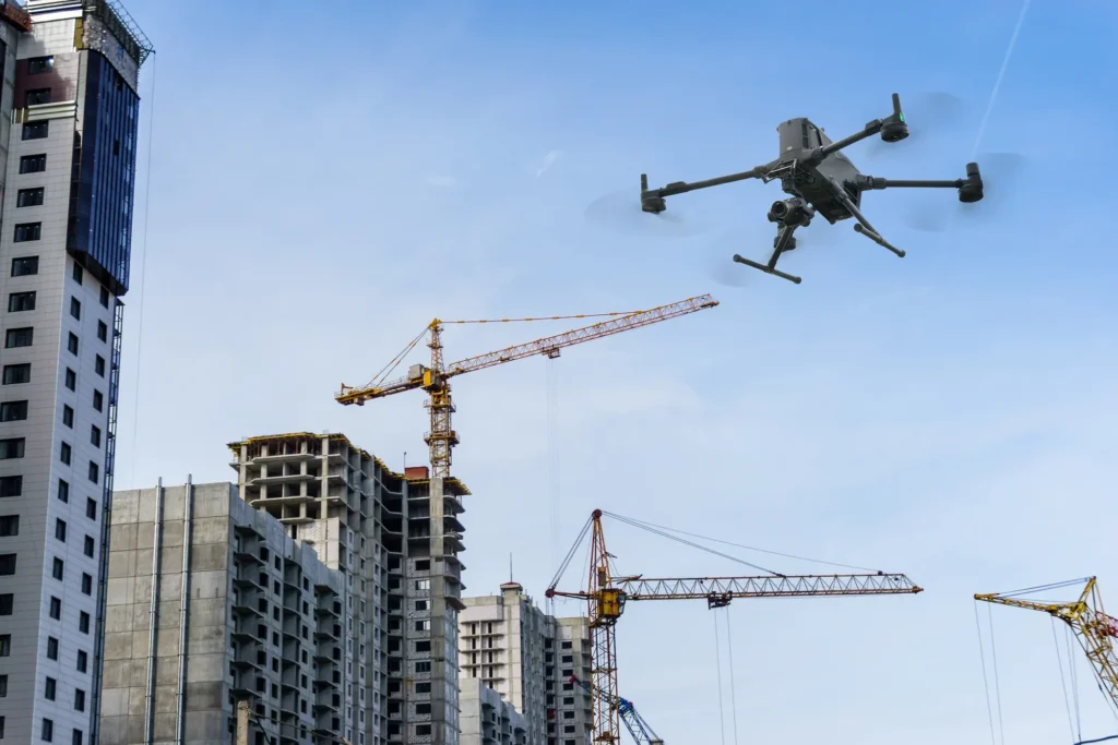 construction site survey
Construction
Site progress, volumes and as-built data captured on a repeatable schedule.
View pathway →
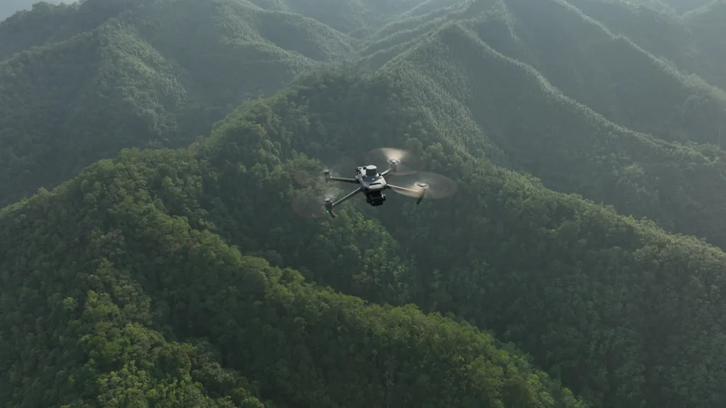 forestry terrain
Forestry
Coverage and monitoring across terrain that is hard to reach on the ground.
View pathway →

Talk to AeroIQ