
INDUSTRY · Construction
Aerial Construction Intelligence for Faster, Safer and More Defensible Site Decisions
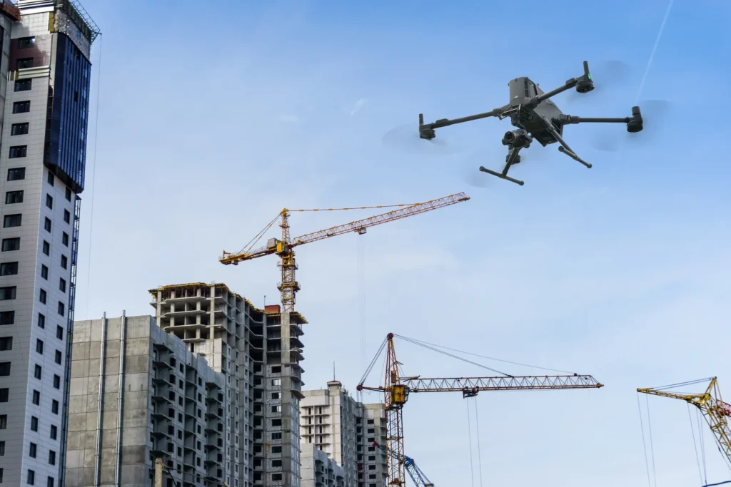
Decision-ready construction data: accurate, repeatable and engineering-aligned, supporting progress tracking, earthworks validation, site planning and contractor assurance.
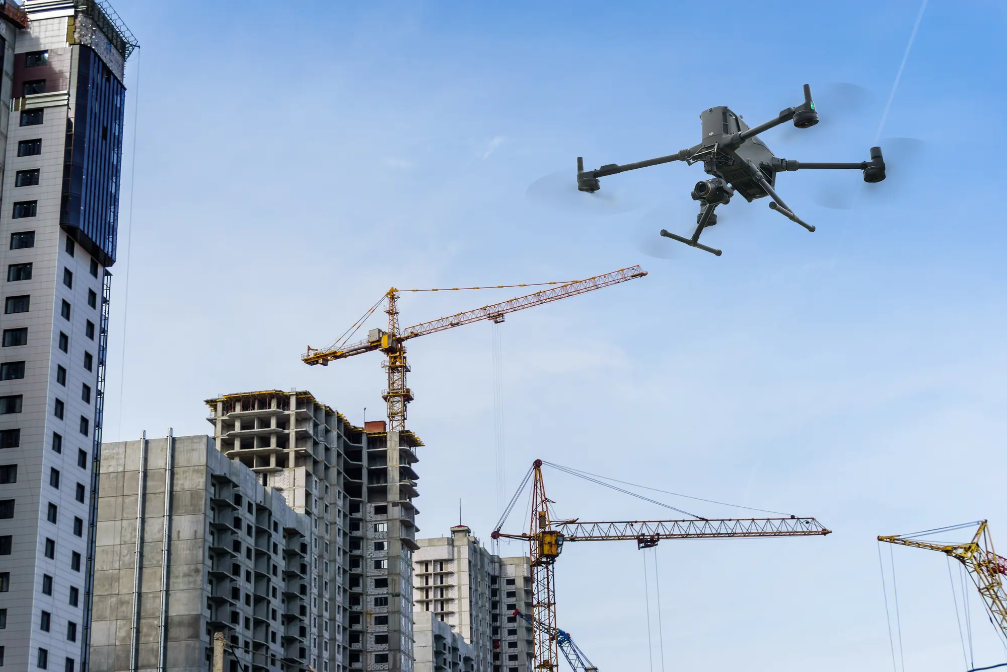
Why drones
50–90%
FASTER SITE COVERAGE
- Wider visibility across active construction zones and earthworks
- Safer operations: reduced exposure to machinery, unstable ground and live work areas
- Repeatable measurements for progress tracking, cut/fill validation and contractor assurance
- High-resolution imagery, 3D models and volumetrics for defensible reporting
- LiDAR and photogrammetry outputs for terrain, stockpile measurements and structural context
- Faster identification of change, hazards, deviations and compliance issues
- Targeted allocation of survey, inspection and verification resources
- Stronger evidence for claims, variations, design checks and stakeholder reporting
Drones don’t replace construction teams. They amplify them.
Key use cases
Where drones earn their place in Construction.
01
Earthworks measurement & validation
Rapid, repeatable aerial capture provides accurate cut/fill volumes, stockpile measurements and earthworks progress. High-density models reduce disputes, strengthen contractor validation and support defensible reporting for quantity claims and production tracking.
VOLUMETRICS · DSM · 3D MODELS · STOCKPILE REPORTS
02
Progress tracking & site documentation
High-resolution orthomosaics and 3D models provide a clear record of site conditions over time. Regular capture supports progress reporting, contractor coordination, safety reviews and stakeholder communication, reducing uncertainty and improving project oversight.
ORTHOMOSAICS · 3D MODELS · TIME-SERIES IMAGERY · CHANGE DETECTION
03
Pre-construction & feasibility mapping
Accurate aerial base layers help teams understand terrain, constraints, access routes and site boundaries before mobilisation. These layers integrate directly into design workflows, reducing rework and accelerating approvals.
ORTHOMOSAICS · DTM · CONTOURS · CAD-READY SURFACES
04
Structural & asset inspection
Drones capture detailed imagery of buildings, retaining walls, bridges, towers and other structures without requiring scaffolding or elevated work platforms. This improves safety while delivering high-resolution evidence for condition assessment and maintenance planning.
HIGH-RESOLUTION IMAGERY · 3D MESHES · INSPECTION LAYERS
05
Corridor & linear works mapping
Roads, rail, pipelines and utilities benefit from consistent altitude and overlap along linear alignments. Drones produce georeferenced imagery, point clouds and corridor models for design validation, construction monitoring and long-term maintenance planning.
CORRIDOR MODELS · POINT CLOUDS · ORTHOMOSAICS
06
Environmental & compliance monitoring
Aerial capture supports erosion monitoring, sediment control checks, vegetation compliance, stormwater management and environmental reporting. Repeatable datasets provide defensible evidence for audits and regulatory submissions.
NDVI · DSM · ORTHOMOSAICS · CHANGE DETECTION
07
As-built verification & handover
LiDAR and photogrammetry outputs can support as-built surfaces and 3D models that integrate directly into engineering and CAD workflows. These deliverables support design validation, clash detection and handover documentation.
POINT CLOUDS · 3D MODELS · CAD-READY SURFACES
Deliverables
Drone data outputs.
A suite of construction-ready deliverables that traditional field-only methods cannot match for speed, resolution or completeness.
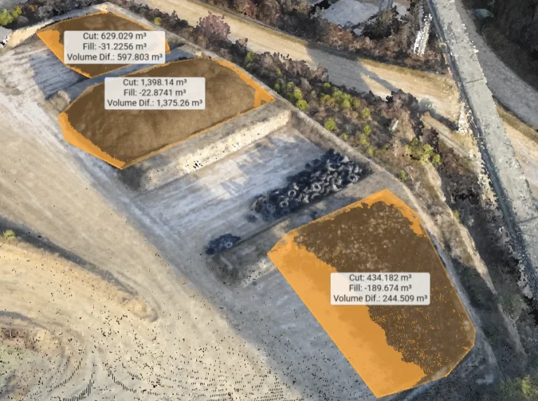
Volumetric Reports
Stockpile, cut/fill and material-movement calculations
Used for
- Earthworks validation
- production reporting
- contractor assurance
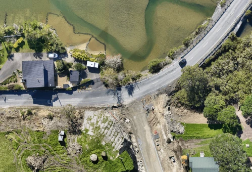
Orthomosaics
High-resolution, distortion-free georeferenced aerial maps
Used for
- Progress tracking
- inspections
- site documentation
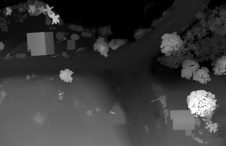
Digital Surface Models (DSM)
Elevation of all visible surfaces, structures and terrain
Used for
- Earthworks analysis
- cut/fill
- hydrology
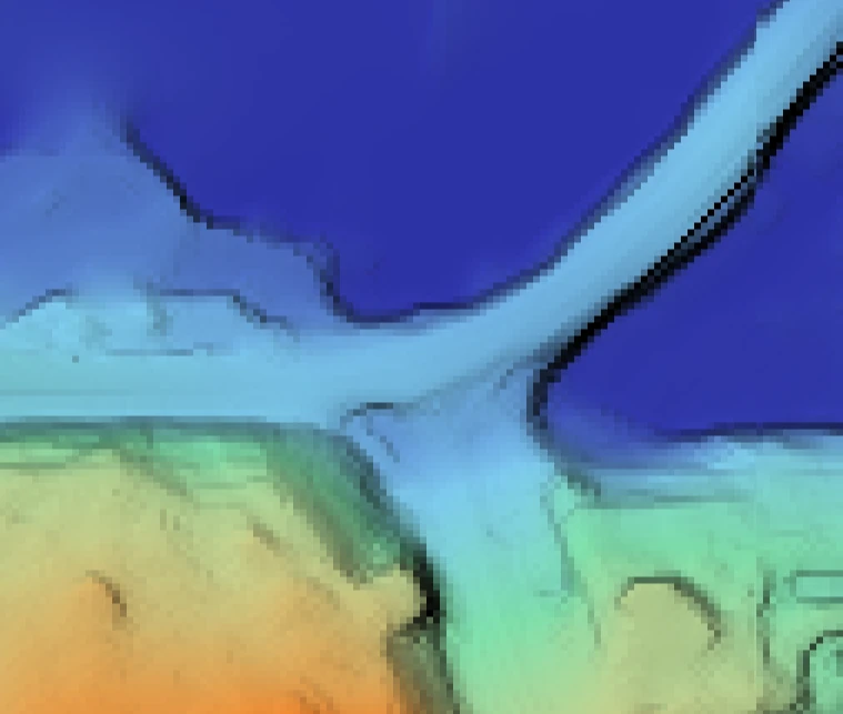
Digital Terrain Models (DTM)
Bare-earth elevation models with vegetation removed
Used for
- Engineering design
- contour generation
- feasibility planning
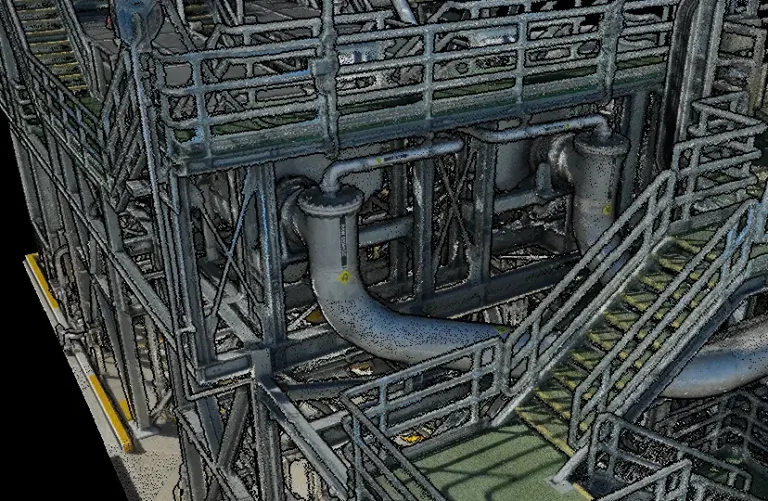
3D Point Clouds
Millions of georeferenced points representing terrain, structures and assets
Used for
- CAD modelling
- as-built verification
- clash detection
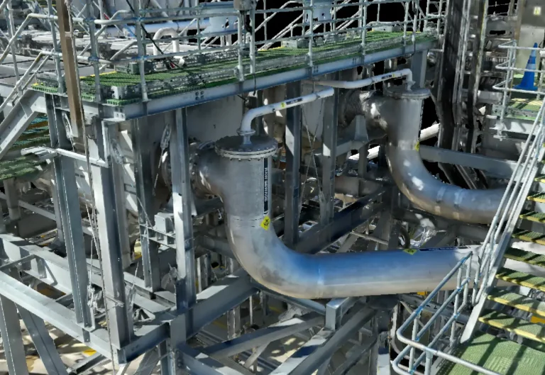
3D Meshes & Textured Models
Realistic visual models of terrain, structures and construction assets
Used for
- Visualisation
- digital twins
- inspection
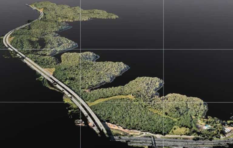
Corridor Models
Linear mapping outputs with consistent altitude and overlap
Used for
- Roading
- rail
- pipeline and utility design/monitoring
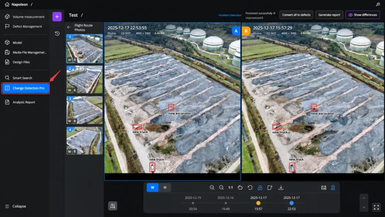
Change Detection Layers
Time-series comparisons showing construction progress or deviation
Used for
- Progress tracking
- QA
- safety reviews
- reporting
Getting it right
Accuracy is everything.
With GNSS positioning and the right drone platform, your accuracy requirements are achievable.
- RTK/PPK positioning
- Ground Control Points (GCPs)
- Checkpoints & QA workflows
- Photogrammetry vs LiDAR selection
- Clear communication of limitations
Fits the systems you already run.
Outputs arrive clean, structured and construction-ready.
GIS
ArcGIS · QGIS
CAD
Civil 3D · 12d · MicroStation
PHOTOGRAMMETRY
DJI Terra · Pix4D · RealityCapture · DroneDeploy
LIDAR
DJI Terra · TerraScan · CloudCompare
Products
Systems & equipment for Construction
Drones
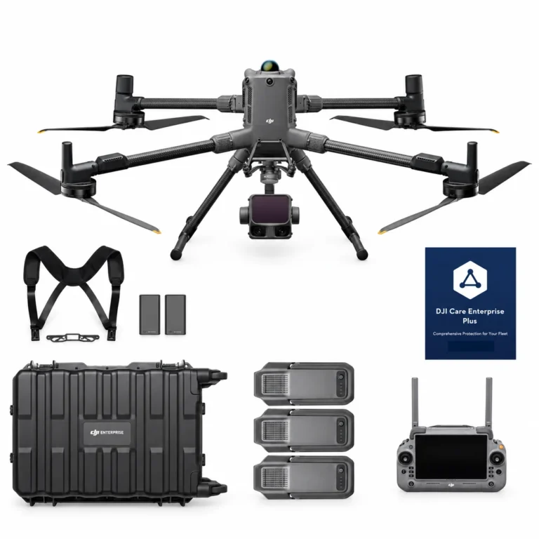
DJI Matrice 400 L3 Combo
AIQ-0100
1535 nm long-range LiDAR, dual 100MP RGB mapping cameras and a high-precision POS system, paired with the long-endurance DJI Matrice 400 enterprise platform for high-efficiency geospatial data capture. The Matrice 400 L3 Combo includes the Zenmuse L3 and three aircraft batteries, creating a complete solution for large-area surveying, corridor mapping, forestry and infrastructure projects.
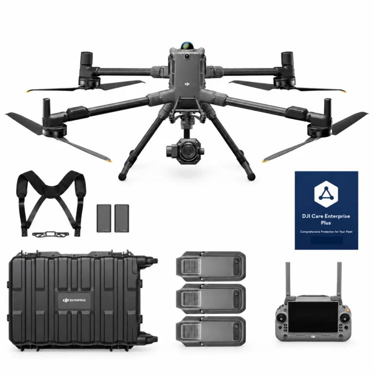
DJI Matrice 400 P1 Combo
AIQ-0101
45MP full-frame photogrammetry camera, global mechanical shutter and support for interchangeable 24 mm, 35 mm and 50 mm DJI DL lenses, paired with the long-endurance DJI Matrice 400 enterprise platform for high-accuracy aerial mapping. The Matrice 400 P1 Combo includes the Zenmuse P1 and three aircraft batteries, creating a complete solution for surveying, construction, land development, mining and large-scale photogrammetry projects.
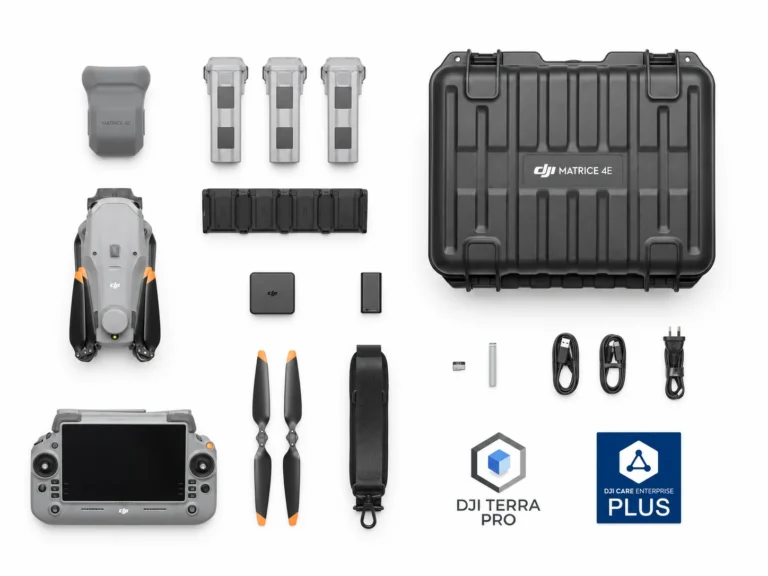
DJI Matrice 4E Essentials Combo
AIQ-0090
Combining a 20MP 4/3” CMOS, mechanical-shutter camera with RTK positioning and intelligent mapping tools to form the ultimate compact mapping drone. Fast image capture, multi-directional photography and Smart 3D capabilities help streamline aerial data collection across surveying, construction and geospatial projects.
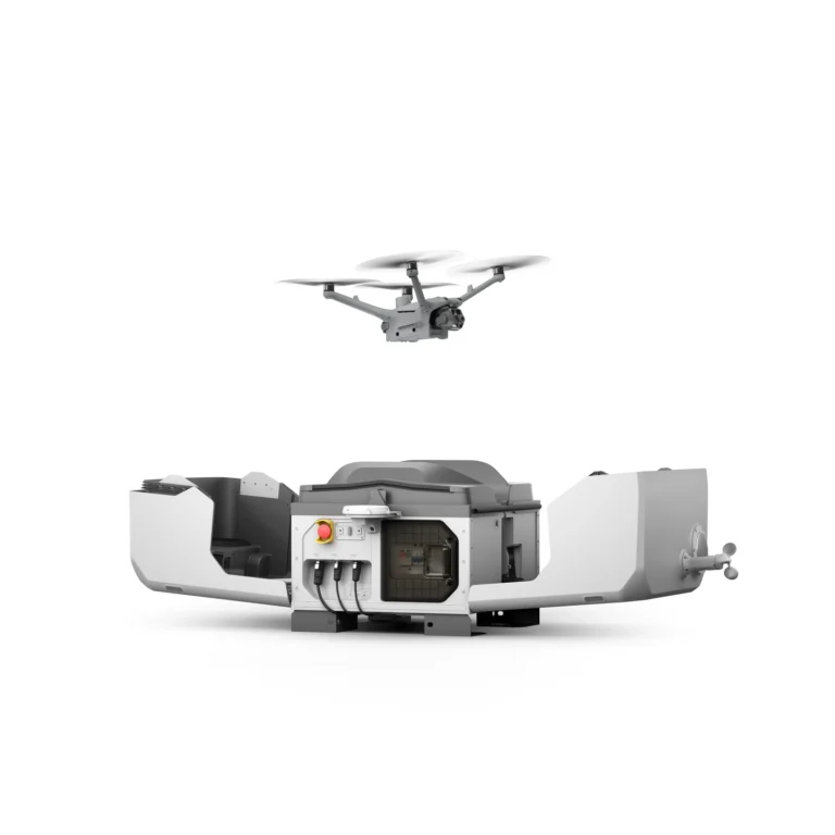
Dock Systems
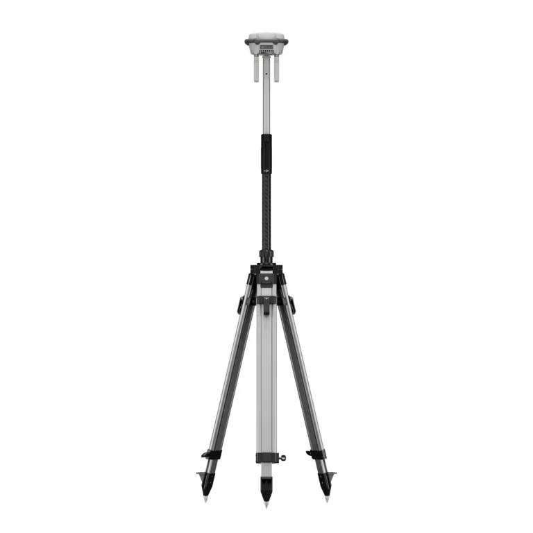
Accessories & Parts
Our services
How AeroIQ helps in this sector
Drone Consulting
Plan the right drone programme, workflows, governance and technology pathway from the start.
Drone Training
Build internal pilot capability through practical training, coaching and real-world operating scenarios.
Drone Hardware
Choose, configure and validate drone hardware, sensors and software so it works from day one.

Let’s talk