
Product
DJI Dock 3 Matrice 4D combo
DJI · AIQ-0106
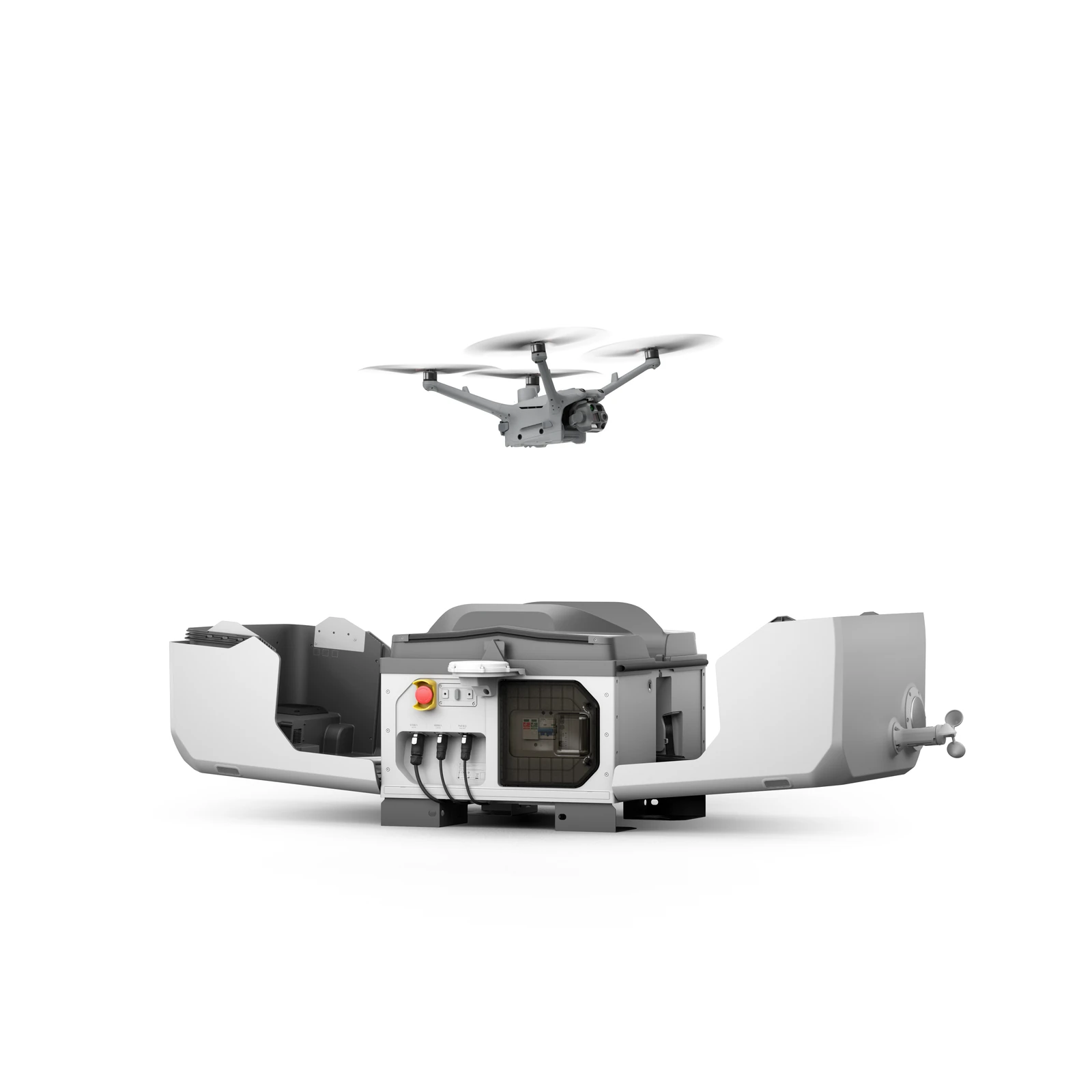
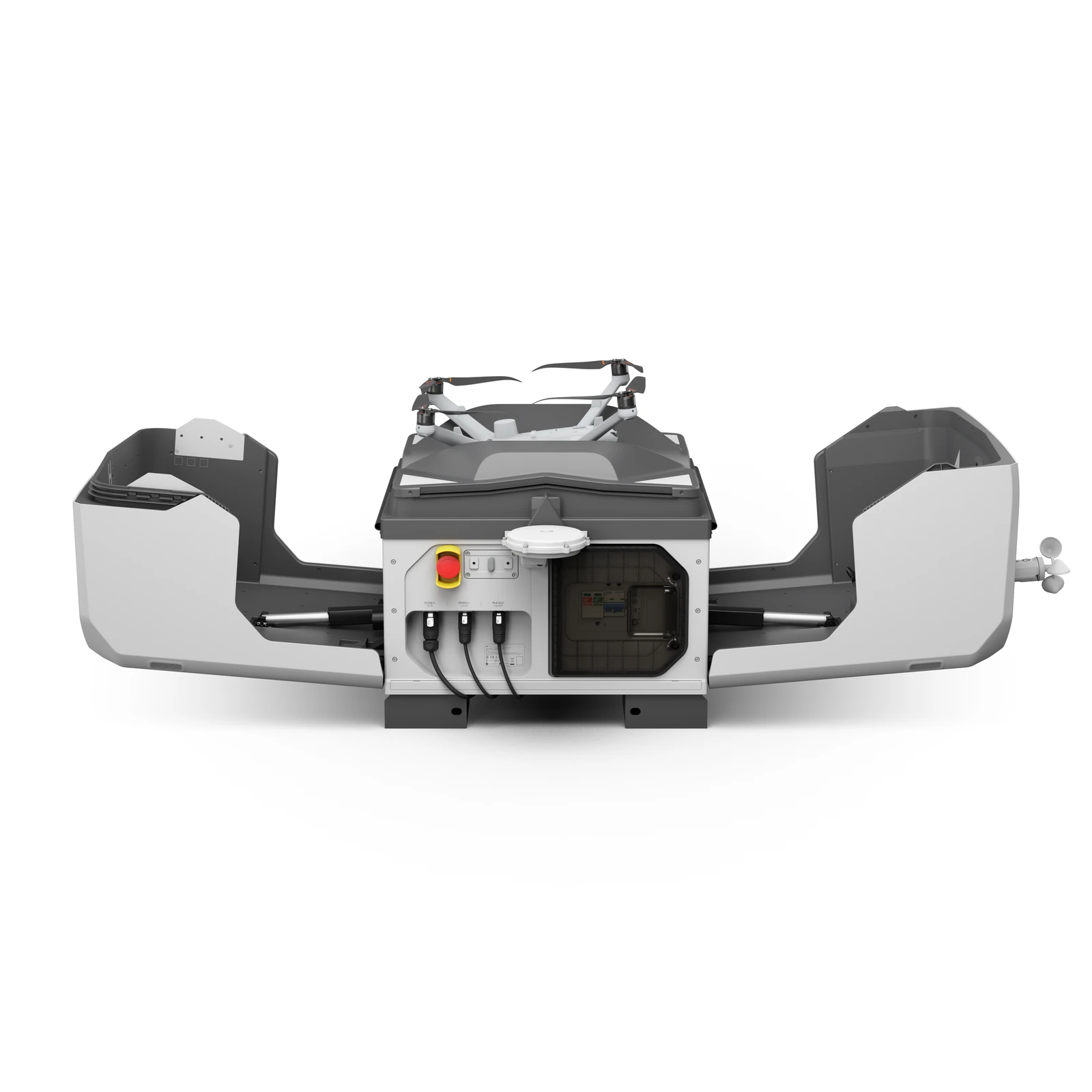
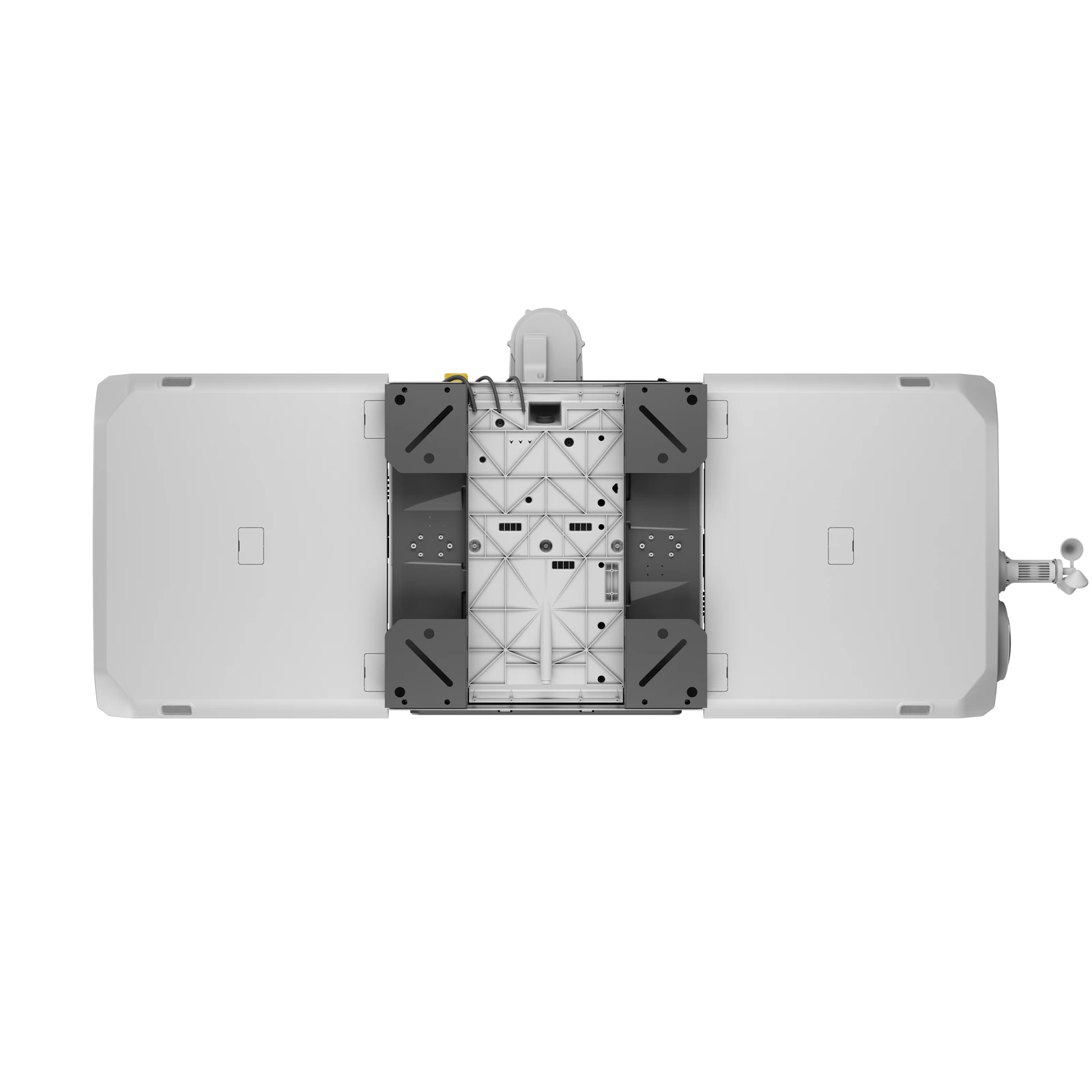
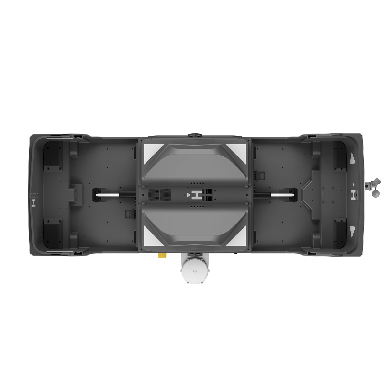
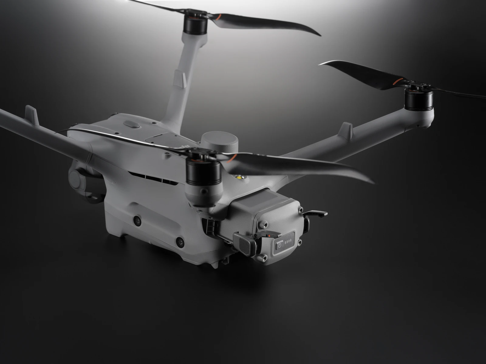
20MP 4/3 CMOS mechanical-shutter camera, medium telephoto and telephoto cameras, laser ranging and high-precision mapping capabilities, combined with DJI Dock 3 for automated and remote drone operations. The Dock 3 with Matrice 4D Combo is designed for repeatable surveying, construction monitoring, infrastructure inspection and site mapping where consistent aerial data needs to be captured without sending a pilot to site for every mission.
Overview
About this product.
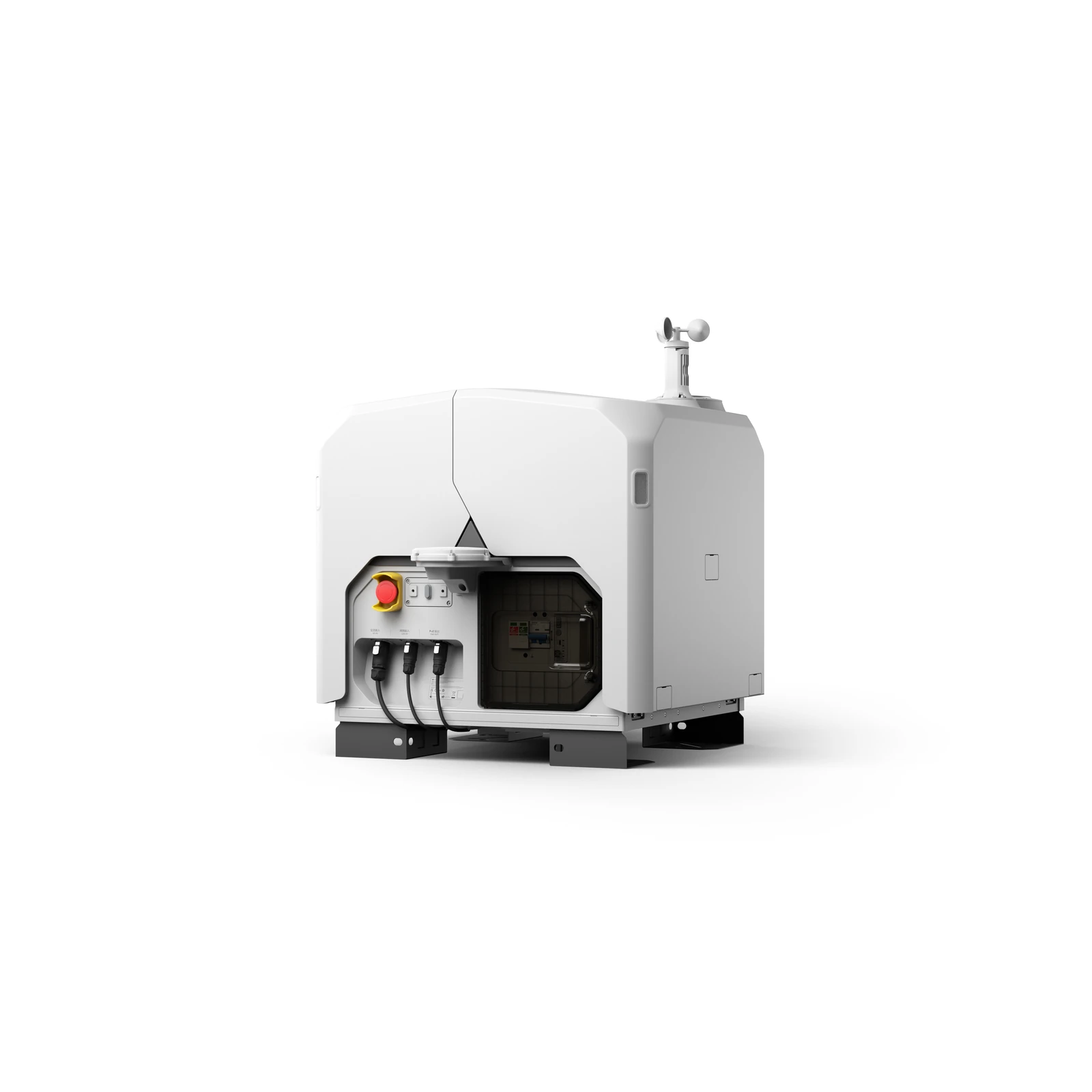
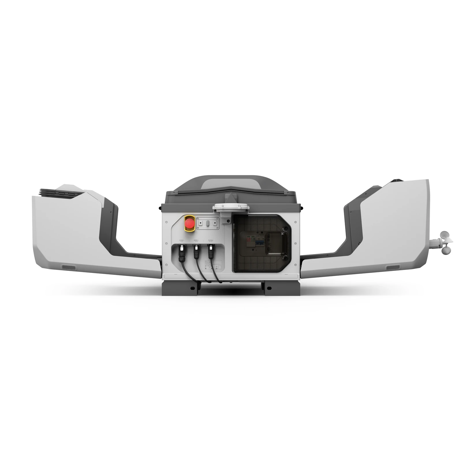
The DJI Dock 3 with Matrice 4D Combo combines DJI's automated docking platform with the mapping-focused Matrice 4D enterprise drone, creating a complete solution for remote surveying, inspection and site monitoring. Dock 3 allows the aircraft to remain deployed in the field while missions are scheduled, launched and managed remotely through DJI FlightHub 2, giving teams access to live views and captured data without requiring an operator to travel to site for each flight.
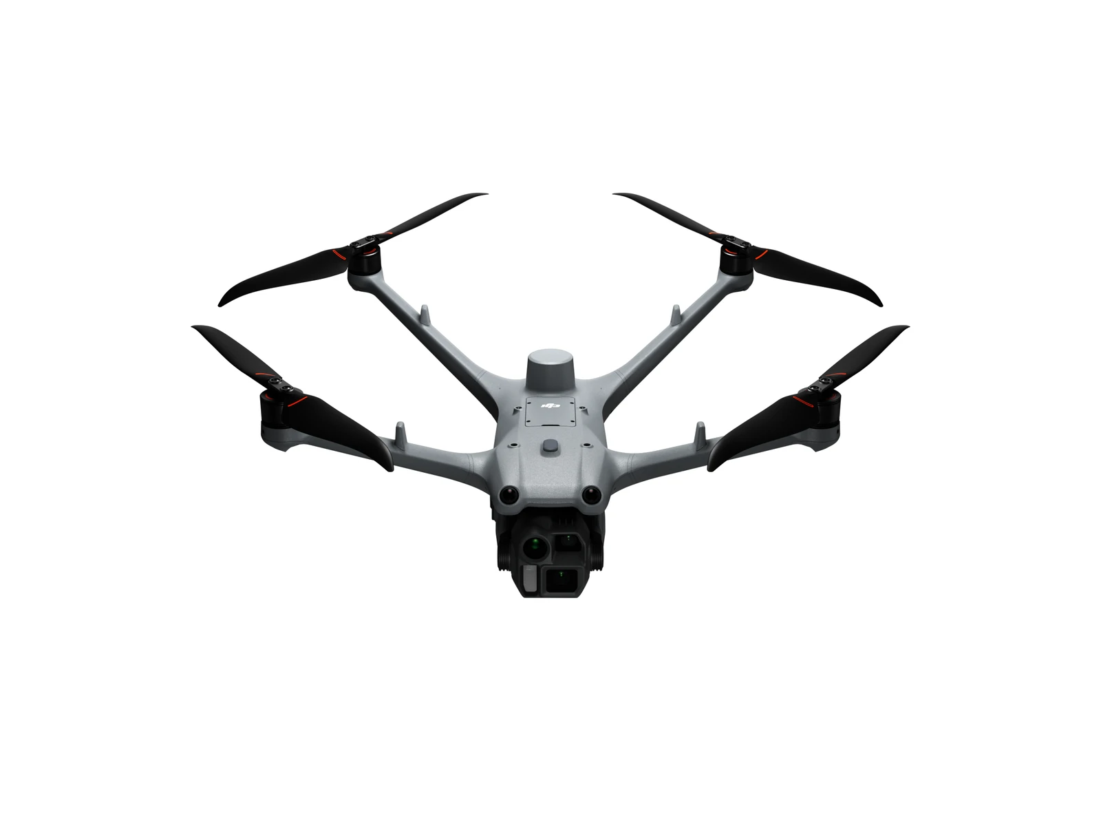
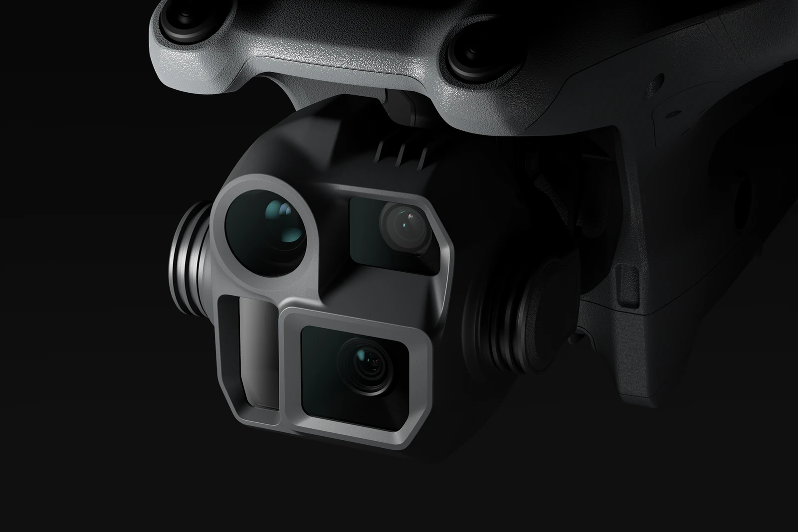
The Matrice 4D is built for high-precision mapping and detailed visual inspection. Its 20MP 4/3 CMOS wide-angle camera with mechanical shutter is supported by medium telephoto and telephoto cameras, an integrated laser range finder and intelligent mapping capabilities, making the system well suited to surveying, construction, infrastructure, earthworks and other applications requiring accurate and repeatable aerial data.
Together, Dock 3 and the Matrice 4D provide an automated workflow from mission planning and aircraft deployment through to aerial data capture, live monitoring and review in DJI FlightHub 2. Repeatable routes allow organisations to capture comparable datasets over time, making it easier to monitor progress, identify changes and maintain an up-to-date record of site conditions.
Matrice 4D Surveying and Visual Inspection
- 20MP 4/3 CMOS Wide-Angle Camera: A high-resolution mapping camera with mechanical shutter designed for professional photogrammetry and accurate aerial data capture.
- High-Precision Mapping: The Matrice 4D supports 5-direction oblique photography, 3-direction orthophoto photography and real-time terrain following across a range of surveying applications.
- Smart 3D Capture Routes: DJI FlightHub 2 supports Smart 3D Capture, geometric and slope routes, providing greater flexibility for detailed modelling and structured mapping missions.
- 48MP Medium Tele Camera: Supports medium-range visual inspection, including the capture of details such as pins, cracks and readable instrument information under the stated conditions.
- 48MP Tele Camera: Provides long-range visual inspection capability, with fine details able to be captured from distances of up to 250 metres under the stated conditions.
- Telephoto Stabilisation: Enhanced foreground stabilisation helps maintain image clarity when working at 10× zoom or greater.
- Laser Range Finder: Provides real-time distance measurement with a stated measurement range of up to 1,800 metres.
The DJI Matrice 4D is designed for professional mapping, surveying and detailed visual inspection where accuracy and repeatability are important. Its mechanical-shutter mapping camera supports high-precision photogrammetry, while the medium telephoto, telephoto and laser-ranging capabilities expand the same aircraft into inspection and monitoring workflows.
When paired with Dock 3, these capabilities can be incorporated into scheduled and repeatable missions, allowing survey and project teams to collect consistent aerial information from the same site without deploying a pilot for every capture.
Rugged and Reliable Remote Deployment
- IP56 Dock Protection: DJI Dock 3 is IP56 rated, with internal systems designed for long-term deployment in demanding outdoor environments.
- IP55 Aircraft Protection: The Matrice 4D carries an IP55 dust and water resistance rating for operation in demanding field conditions.
- Automated Aircraft Charging: Dock 3 manages charging between missions, helping keep the Matrice 4D ready for its next scheduled or remotely initiated flight.
- Fixed or Mobile Deployment: Dock 3 supports both permanent installations and vehicle-mounted configurations for temporary or mobile operations.
- Smartphone Deployment: The DJI Enterprise app can be used with a compatible Android device to simplify Dock 3 setup and commissioning in the field.
- Low-Light Visual Positioning: Four high-resolution low-light fisheye lenses improve visual positioning and obstacle sensing when operating in reduced-light conditions.
- Automated Mapping and Monitoring with DJI FlightHub 2
- Automated Flight Routes: Create repeatable surveying, inspection and monitoring missions so the Matrice 4D can capture data consistently along predefined flight paths.
- Intelligent Change Detection: DJI FlightHub 2 can compare datasets collected during repeat missions to help identify site changes over time.
- Virtual Cockpit: Remotely control the aircraft through FlightHub 2, including Mouselook functionality that automatically centres selected areas or subjects within the camera view.
- Smart Track: Auto-zoom helps maintain visibility of moving subjects such as vehicles and vessels when required during monitoring operations.
- Low-Latency Live View: FlightHub 2 provides responsive real-time video for remote inspection, monitoring and operational oversight.
- Transmit While Flying: Mission data can begin transferring during flight, with data transfer completed after landing and cloud-based rough modelling available for faster access to site information.
Obstacle Sensing and Remote Flight Safety
- Optional Obstacle Sensing Module: The Matrice 4D can use an additional module combining rotating LiDAR and millimetre-wave radar for enhanced obstacle detection and positioning.
- 12 mm Wire-Level Detection: Under the specified operating conditions, the module can detect wire-level obstacles down to 12 mm, supporting operations around powerlines and other complex infrastructure.
- Enhanced Low-Light Positioning: LiDAR and radar sensing provide additional positioning capability when visual conditions are more challenging.
- Airborne Relay: A second Matrice 4D Series aircraft can act as a communications relay, helping maintain video transmission when terrain, physical obstructions or limited 4G coverage affect connectivity.
Fixed and Mobile Deployment Options
- DJI O4 Ground Station Support: An optional DJI O4 Ground Station can be positioned separately from the Dock to improve communications and provide more flexibility when choosing an installation location.
- Gateway and Relay Modes: Ground Station deployment can extend coverage or help maintain stable aircraft transmission where buildings, terrain or network limitations interfere with connectivity.
- High-Rise and Infrastructure Deployment: The O4 Ground Station can be installed on rooftops or communication towers to improve signal performance around buildings, substations and other complex infrastructure.
- Vehicle-Mounted Deployment: Dock 3 supports mobile vehicle-mounted installations, creating a practical option for temporary surveying, long-distance inspection and rapidly changing project locations.
- Cloud-Based Dock Location Calibration: Remote personnel can set the Dock location and assign missions through DJI FlightHub 2 during mobile deployments.
- Dual-Dock Deployment: Two Dock 3 units can be installed on one vehicle and coordinated using a dedicated take-over pattern to improve operational efficiency.
- Dual-Drone Rotation: Compatible dual-Dock configurations can alternate between aircraft to support continuous real-time aerial coverage.
Data Security and Enterprise Management
- Custom Permission Management: DJI FlightHub 2 enables user permissions to be configured around operational roles, helping organisations control access to functions and information.
- ISO 27001-Certified FlightHub 2: FlightHub 2 is ISO 27001 certified, supporting organisations with information-security and data-management requirements.
- AWS Cloud Infrastructure: Data uploaded, stored and managed through FlightHub 2 is hosted on Amazon Web Services infrastructure, which is also ISO/IEC 27001 certified.
- Private 4G Deployment: Enhanced 4G transmission can be privately deployed with an on-premises version of FlightHub 2 for organisations requiring additional control over communications and operational data.
Integration and Open Ecosystem
- FlightHub Sync: Connect DJI FlightHub 2 with third-party cloud platforms to integrate aerial information into wider enterprise systems and workflows.
- Cloud API: Access aircraft hardware, live video streams and captured imagery for integration into third-party platforms and operational systems.
- MSDK Support: Mobile SDK 5 provides an open-source foundation for developing customised applications and Matrice 4D Series workflows.
- Third-Party Payload Support: Compatible payloads can connect through E-Port and PSDK interfaces, with supported equipment able to be controlled remotely through DJI FlightHub 2.
- DJI Terra API: Integrate DJI Terra into existing systems to automate 2D and 3D reconstruction and customise photogrammetry processing workflows for data captured by the Matrice 4D.
Key capabilities
- Dock Protection Rating: IP56
- Aircraft: DJI Matrice 4D
- Wide-Angle Camera: 4/3 CMOS, 20MP
- Shutter: Mechanical shutter
- Medium Tele Camera: 1/1.3-inch CMOS, 48MP
- Tele Camera: 1/1.5-inch CMOS, 48MP
- Laser Range Finder: Up to 1,800 m measurement range
- Aircraft Protection Rating: IP55
- Mapping Capabilities: 5-direction oblique, 3-direction orthophoto and real-time terrain following
- Remote Operations Platform: DJI FlightHub 2
- Deployment Options: Fixed installation and vehicle-mounted deployment
- Aircraft Management: Automated charging and remote mission deployment
- Transmission Expansion: Compatible with DJI O4 Ground Station
Typical applications
Surveying and mapping, construction progress monitoring, earthworks measurement, land development, infrastructure inspection, asset management, forestry, environmental monitoring and other applications requiring repeatable aerial data capture from a remotely deployed system. The DJI Dock 3 with Matrice 4D Combo is particularly suited to organisations that need consistent mapping or visual inspection data from the same sites over time. Combining Dock 3 automation with the Matrice 4D's mechanical-shutter mapping camera and intelligent survey capabilities allows teams to capture comparable datasets remotely, monitor progress more frequently and maintain an up-to-date record of changing site conditions.
What you get
What’s in the box.
- DJI Dock 3
- DJI Dock 3 × 1
- Grounding Wire × 1
- Wind speed gauge × 1
- Power plug × 1
- Network plug × 2
- Power cable terminals × 6
- Screwdriver × 1
- Dual-headed USB-C Cable × 1
- Additional in the Dock 3 Matrice 4D Combo
- DJI Matrice 4D drone × 1
- DJI Matrice 4D series battery × 1
- DJI RC Plus 2 Enterprise Enhanced × 1
Where it’s used
Relevant industries.
 aerial mapping
Survey & Geospatial
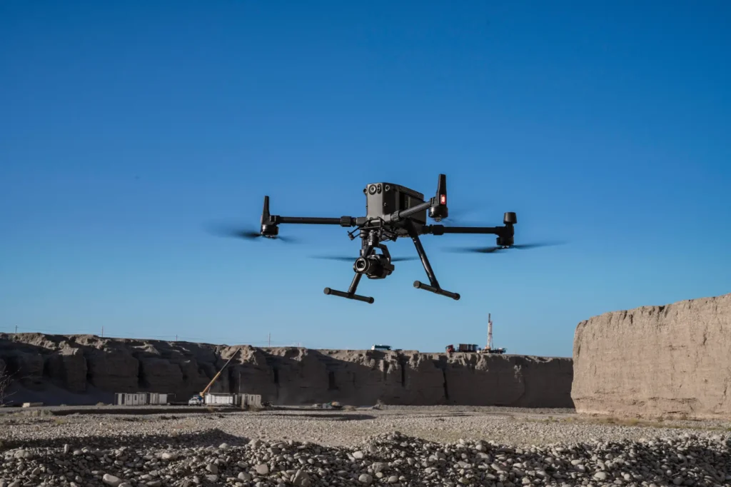
Our strongest detailed capability: survey-grade mapping, measurement and spatial deliverables.
View pathway →
 construction site survey
Construction
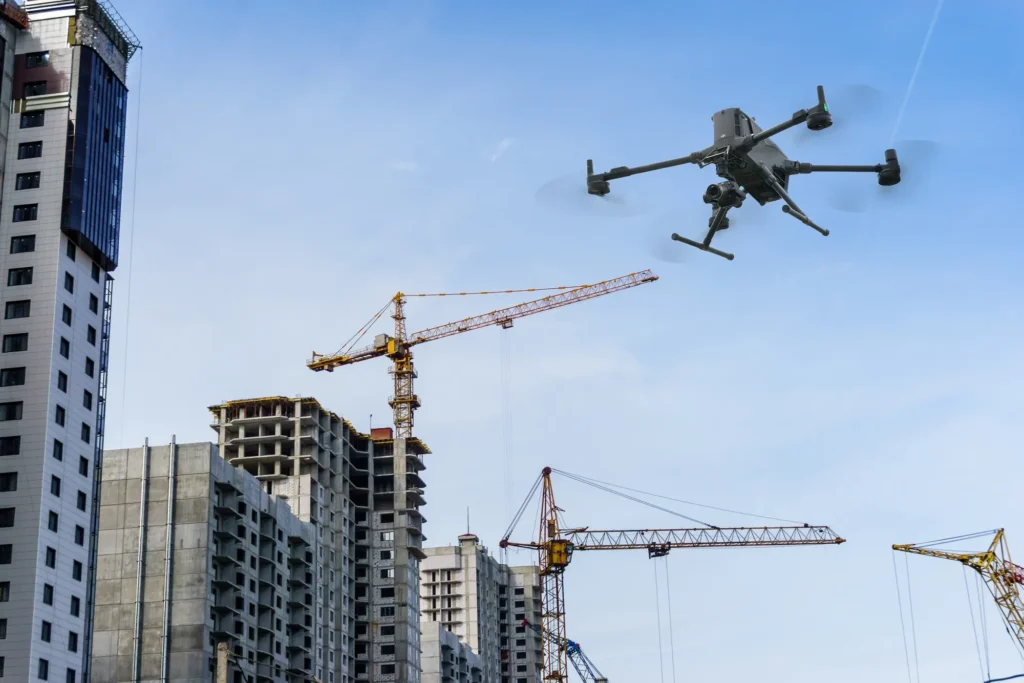
Site progress, volumes and as-built data captured on a repeatable schedule.
View pathway →
 forestry terrain
Forestry
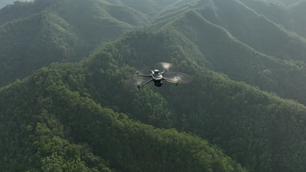
Coverage and monitoring across terrain that is hard to reach on the ground.
View pathway →

Talk to AeroIQ