
Platform hub
Matrice 4 Series
The DJI Matrice 4 Series is a family of compact, intelligent enterprise drones designed to support a wide range of commercial applications.
Drones for the Matrice 4 Series
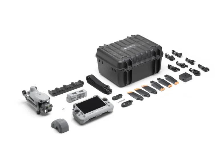
DJI Matrice 4E Basic Kit
AIQ-0062
Combining a 20MP 4/3” CMOS, mechanical-shutter camera with RTK positioning and intelligent mapping tools to form the ultimate compact mapping drone. Fast image capture, multi-directional photography and Smart 3D capabilities help streamline aerial data collection across surveying, construction and geospatial projects.
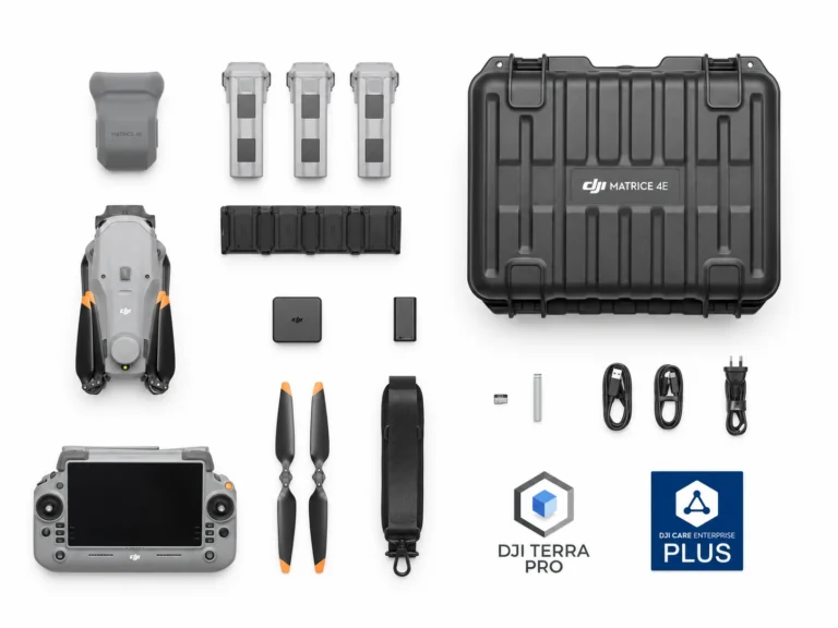
DJI Matrice 4E Essentials Combo
AIQ-0090
Combining a 20MP 4/3” CMOS, mechanical-shutter camera with RTK positioning and intelligent mapping tools to form the ultimate compact mapping drone. Fast image capture, multi-directional photography and Smart 3D capabilities help streamline aerial data collection across surveying, construction and geospatial projects.
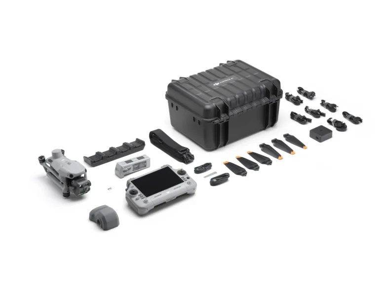
DJI Matrice 4T Basic Kit
AIQ-0063
Compact enterprise drone for asset inspection, thermal imaging and situational awareness, combining wide-angle, medium telephoto, telephoto and radiometric thermal cameras with an integrated laser range finder. Long-range visual imaging, thermal data, low-light capability and intelligent flight tools support asset management, energy, utilities and infrastructure inspection workflows.
DJI Matrice 4T Essentials Combo
AIQ-0091
Compact enterprise drone for asset inspection, thermal imaging and situational awareness, combining wide-angle, medium telephoto, telephoto and radiometric thermal cameras with an integrated laser range finder. Long-range visual imaging, thermal data, low-light capability and intelligent flight tools support asset management, energy, utilities and infrastructure inspection workflows.
Batteries & Charging for the Matrice 4 Series
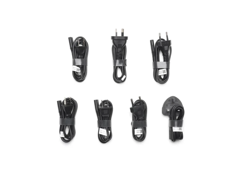
DJI 100W USB-C Power Adapter
AIQ-0008
A 100 W USB-C mains adapter that splits its output dynamically across two ports.
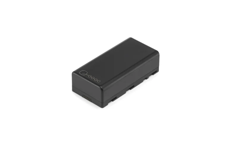
DJI WB37 Intelligent Battery
AIQ-0060
The WB37 controller battery: 4,920 mAh at 7.6 V, 37 Wh.
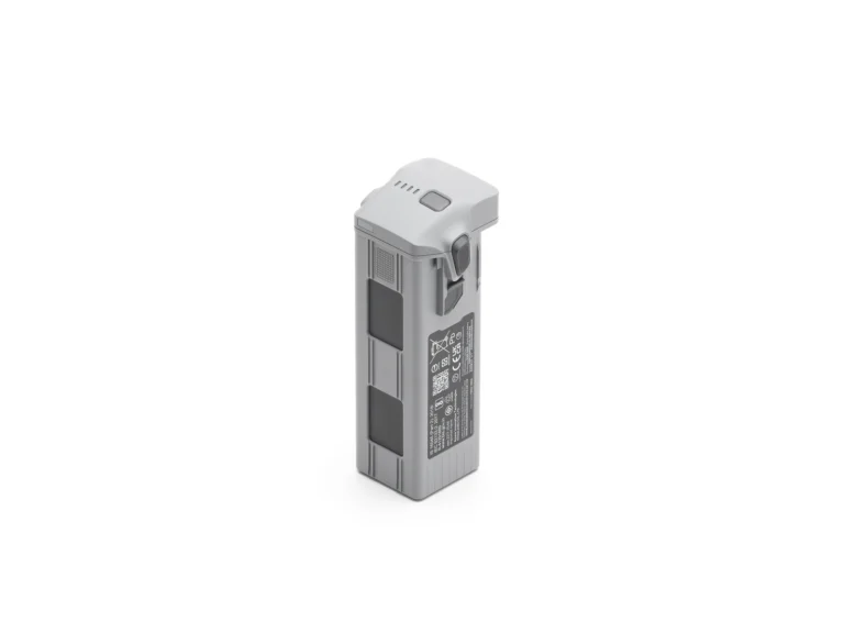
Matrice 4 Series Battery
AIQ-0033
The Matrice 4E and 4T flight battery: 6,741 mAh, 99.5 Wh, 401 g.
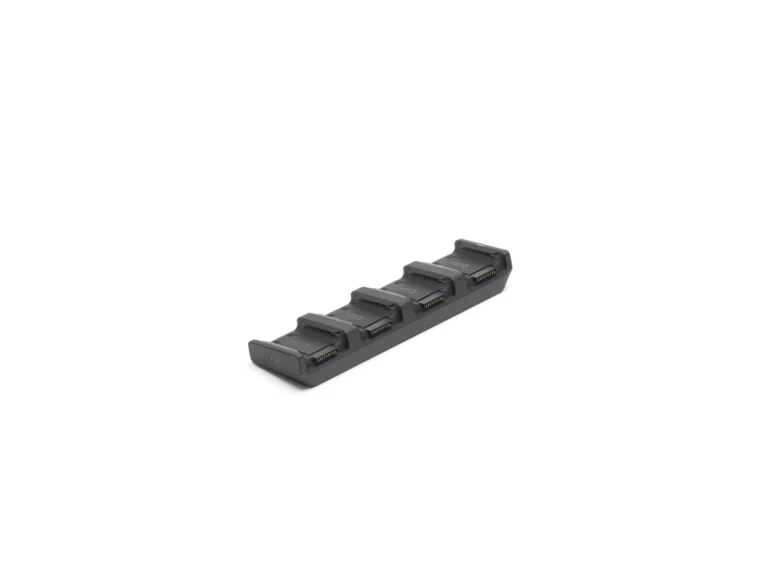
Matrice 4 Series Charging Hub
AIQ-0034
A 100 W hub that charges four Matrice 4 Series batteries in sequence, with a storage mode that stops at 90%.
Accessories for the Matrice 4 Series

DJI Care Enterprise Plus (DJI Matrice 4E)
AIQ-0094
Accident cover for a Matrice 4E: 12 months of repair or replacement for accidental damage, with fleet coverage shareable across devices.
DJI Care Enterprise Plus (DJI Matrice 4T)
AIQ-0095
Accident cover for the DJI Matrice 4T: 12 months of repair or replacement, with coverage shareable across devices.
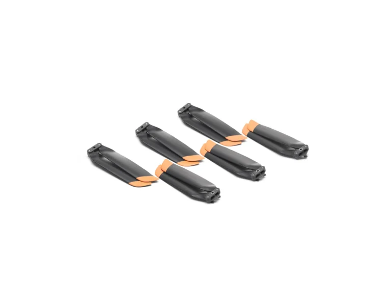
DJI Matrice 4 Low Noise Propellers
AIQ-0006
The low-noise propellers for the Matrice 4 Series: 10 g heavier than standard, and about three minutes shorter in the air.
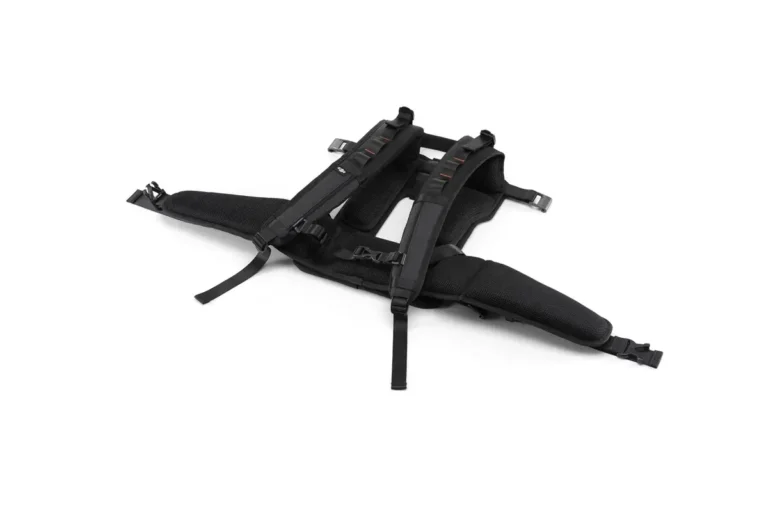
DJI Matrice 4 Series Carrying Case Strap
AIQ-0093
The carrying case strap for the Matrice 4 Series case.
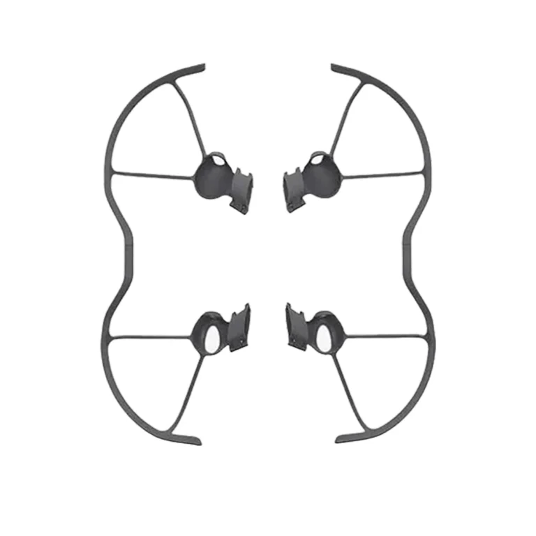
DJI Matrice 4 Series Propeller Guard
AIQ-0092
A propeller guard for the Matrice 4 Series.
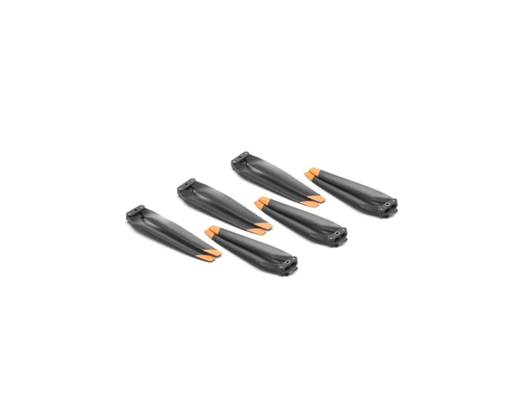
DJI Matrice 4 Series Propellers
AIQ-0007
The standard propellers for the Matrice 4 Series: the set the aircraft flies on unless you have chosen the low-noise alternative.
Payloads for the Matrice 4 Series
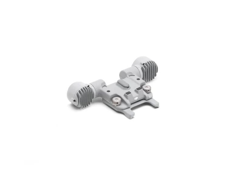
DJI AL1 Spotlight
AIQ-0003
A 91 g spotlight for the Matrice 4 and 4D Series, lighting 1,300 m² at 100 m, or 2,200 m² in wide field-of-view mode.
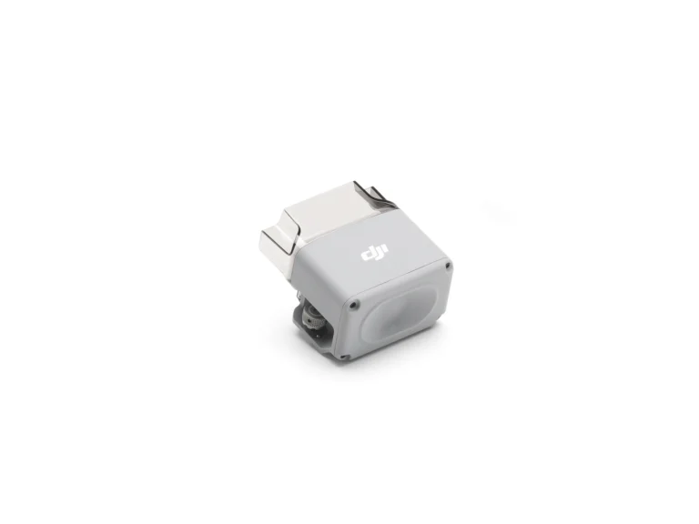
DJI AS1 Speaker
AIQ-0004
A 90 g speaker for the Matrice 4 and 4D Series: 114 dB at 1 m, broadcasting up to 300 m.
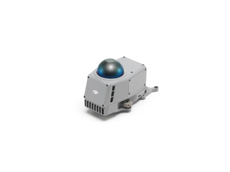
DJI Matrice 4 Obstacle Sensing Module
AIQ-0010
A 235 g sensing module that adds rotating LiDAR and millimetre-wave radar to the Matrice 4 and 4D Series, detecting obstacles out to 100 m.
Controllers for the Matrice 4 Series
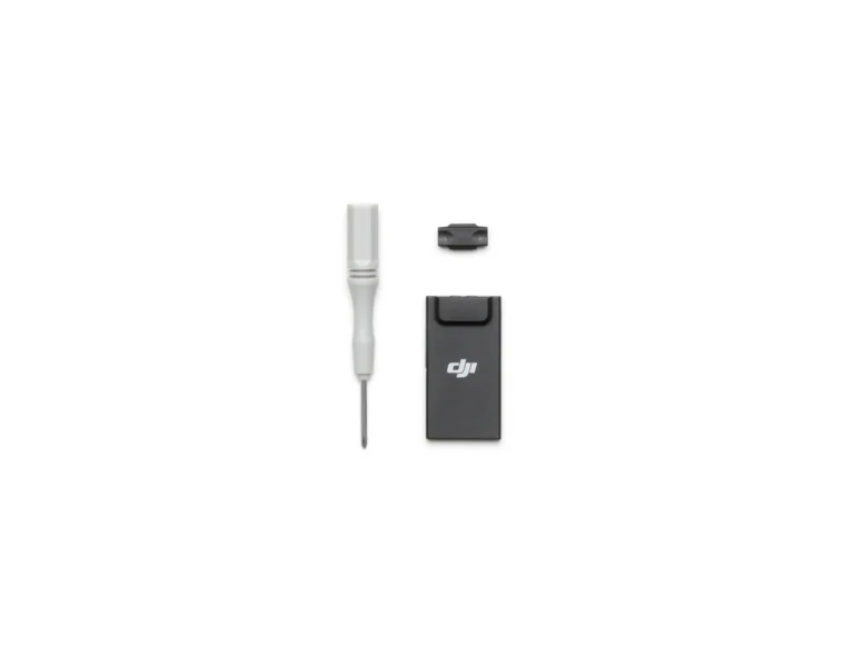
DJI Cellular Dongle 2
AIQ-0079
The Cellular Dongle 2: 4G connectivity for a DJI Dock 3 site.
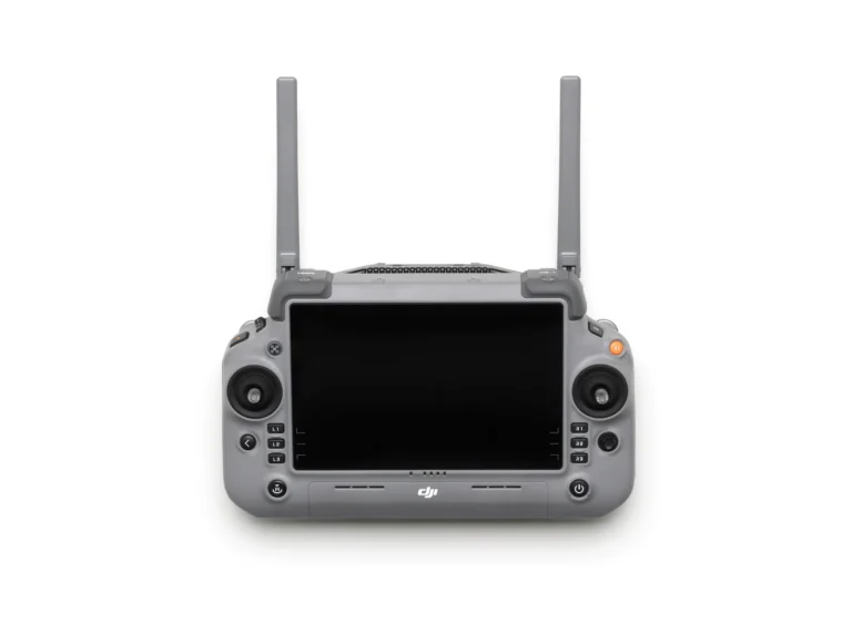
DJI RC Plus 2 Enterprise Enhanced
AIQ-0071
The RC Plus 2 Enterprise controller: a 7-inch 1400-nit screen, 3.8 hours on internal battery and a 40 km link.
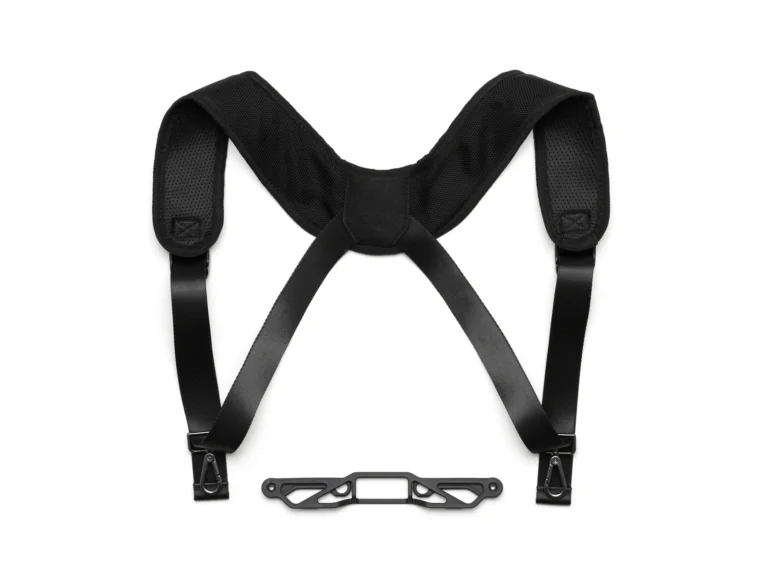
DJI RC Plus 2 Strap & Bracket Kit
AIQ-0072
The strap and bracket kit for the RC Plus 2 controller.
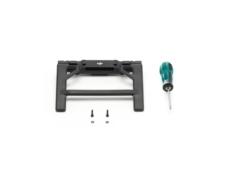
DJI RC Plus 2 sub2G SDR Module
AIQ-0073
The sub-2 GHz SDR module for the RC Plus 2.
Platform overview
Where the Matrice 4 Series earns its place
The series includes two distinct drones, the DJI Matrice 4E and DJI Matrice 4T, each model purpose-built for different applications. The Matrice 4E is the precision mapping and surveying-focused model, combining a 4/3" CMOS 20MP wide-angle camera with a mechanical shutter, advanced oblique capture capabilities and intelligent 3D mapping features. It is ideally suited to surveying, mapping, construction, forestry and other applications where accurate aerial data and photogrammetry are the priority. The Matrice 4T is designed for inspection, thermal imaging and situational awareness. Alongside its wide-angle, medium telephoto and telephoto cameras, it incorporates a high-resolution thermal camera, NIR auxiliary light and laser range finder. This makes it particularly well suited to applications including infrastructure inspection, utilities, public safety, emergency response, search and rescue, and environmental monitoring. While both aircraft share the same compact enterprise platform, intelligent flight capabilities, advanced sensing and long-range imaging technology, their different camera systems and capabilities make them suited to different types of work. Choosing between the Matrice 4E and Matrice 4T therefore comes down to the type of data you need to capture and the applications you need the aircraft to perform.
- 4E: 4/3" CMOS 20MP wide-angle camera with a mechanical shutter
- 4T: high-resolution thermal camera, NIR light and range finder
- Advanced oblique capture and intelligent 3D mapping
- One compact enterprise platform, two purpose-built models
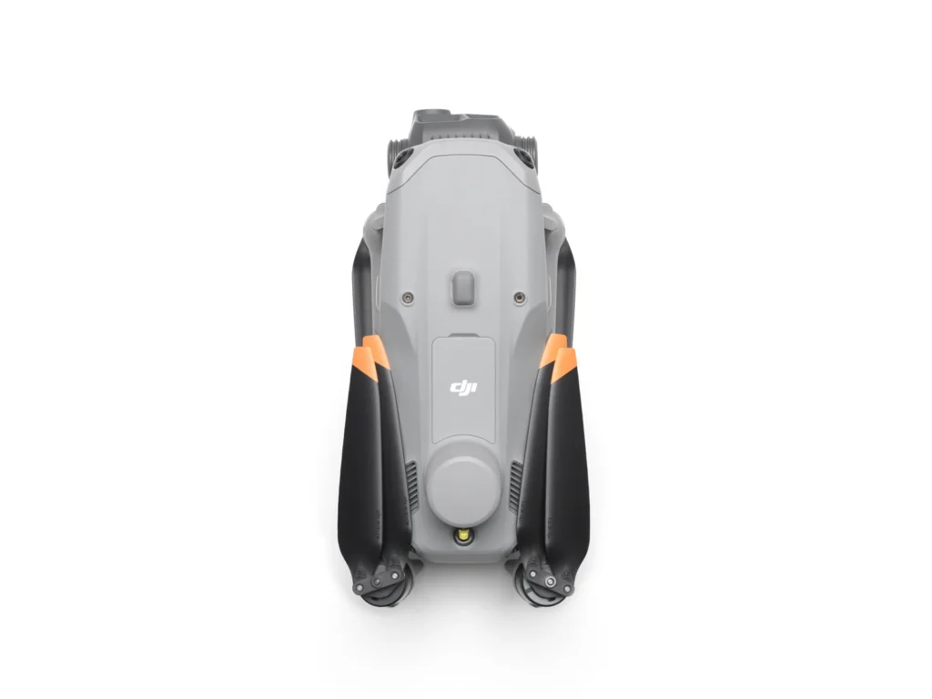
Overview
OVERVIEW
| DJI Matrice 4E | DJI Matrice 4T | |
|---|---|---|
| Wide-Angle Camera | 4/3 CMOS, 20MP Effective Pixels, f/2.8-f/11, Format Equivalent: 24 mm, Mechanical Shutter | 1/1.3″ CMOS, 48MP Effective Pixels, f/1.7, Format Equivalent: 24 mm |
| Medium Tele Camera | 1/1.3″ CMOS, 48MP Effective Pixels, f/2.8, Format Equivalent: 70 mm | 1/1.3″ CMOS, 48MP Effective Pixels, f/2.8, Format Equivalent: 70 mm |
| Tele Camera | 1/1.5″ CMOS, 48MP Effective Pixels, f/2.8, Format Equivalent: 168 mm | 1/1.5″ CMOS, 48MP Effective Pixels, f/2.8, Format Equivalent: 168 mm |
| Laser Range Finder | Measurement Range: 1800 m (1 Hz); Oblique Incidence Range (1:5 Oblique Distance): 600 m (1 Hz); Blind Zone: 1 m; Range Accuracy (m): ± (0.2 + 0.0015 × D) [1] | Measurement Range: 1800 m (1 Hz); Oblique Incidence Range (1:5 Oblique Distance): 600 m (1 Hz); Blind Zone: 1 m; Range Accuracy (m): ± (0.2 + 0.0015 × D) [1] |
| Infrared Thermal Camera [2] | Resolution 640 × 512, f/1.0, Equivalent Focal Length: 53 mm, Uncooled VOx Microbolometer, Supports High-Res Mode | |
| NIR Auxiliary Light [3] | FOV: 6°, Illumination Distance: 100 m |
Matrice 4E
DJI Matrice 4E
The DJI Matrice 4E is a compact, professional drone designed specifically for surveying and mapping applications. Its 20MP 4/3″ CMOS wide-angle camera with a mechanical shutter is designed for high-quality aerial data capture, providing a capable platform for professional photogrammetry and survey workflows.
From topographic surveys and construction sites to infrastructure, mining and land development, the Matrice 4E provides surveyors and other professionals with an efficient way to capture the aerial data required for their projects.
Surveying
Surveying - Precision Mapping, Time-Saving and Effortless
Matrice 4T
DJI Matrice 4T
The DJI Matrice 4T is a compact enterprise drone designed for professional asset inspection, thermal imaging and situational awareness. Its multi-camera payload combines a wide-angle camera, medium telephoto and telephoto cameras with a high-resolution radiometric thermal camera, providing a versatile platform for capturing detailed visual and thermal data.
From infrastructure and asset inspections to energy and utility network management, the Matrice 4T enables organisations to efficiently assess assets, identify potential issues and capture detailed information from a safe distance. Its combination of visual zoom and radiometric thermal imaging makes it well suited to applications where both detailed imagery and thermal data are essential for informed asset management and maintenance.
Low light
Low Light - Excel In Low-Light Environments
Tele cameras
Tele Cameras - Crystal Clear Vision: Unveil the Details
Safety
Safety - Safe Flight, Worry-Free Operation
Intelligence
Intelligence - Intelligent Operations
Efficient flight
Efficient Flight, Intelligent Operations
Where it is used
Where it's used
| Relevant industries | |
|---|---|
| Matrice 4E | Survey & Geospatial · Construction · Forestry |
| Matrice 4T | Asset Management · Energy & Utilities · Public Safety |
Notes
Notes and test conditions
Tested with a production model DJI Matrice 4 series in a closed environment in favorable conditions with an unobstructed wireless signal. Actual results may vary depending on the environment, usage, and firmware version.
All videos and photos on this page were shot in strict compliance with local laws and regulations. Demos, including wildlife, were shot from a safe distance and are used for reference only. Please observe local laws and regulations and ensure the aircraft has obtained relevant certifications before flying.
- 1. D represents the measurement distance.
- 2. Only available with Matrice 4T. DO NOT expose the infrared thermal camera lenses to strong sources of energy such as the sun, lava, or a laser beam. Otherwise, the camera sensor may be burned leading to permanent damage.
- 3. Only available with Matrice 4T. The NIR auxiliary light is suitable for the lighting needs of the tele camera.
- 4. Measured when the drone is hovering 100 meters above the ground, with the tele camera effectively capturing images.
- 5. Without installing the spotlight or speaker accessories, the visual obstacle avoidance remains active in urban night lighting scenarios. Compared to the Mavic 3 Enterprise, it offers a longer operation time. The Vision System cannot detect object surfaces without texture features or with illumination less than 0.5 lux. Please refer to the user manual for more information.
- 6. Measured under standard lighting conditions from a horizontal position 10 meters away from the subject, with a direct line of sight.
- 7. Captured with the tele camera directly facing the subject.
- 8. Please adjust the maximum horizontal speed to this speed in Gain & Expo Tuning; this speed is measured without any load, in a windless environment near sea level.
- 9. Data is greatly affected by the environment, and performance may vary in different scenarios. Actual performance is subject to the delivered product.
- 10. The current functionality is insufficient to meet the needs of urban area mapping. Future updates will continue to optimize flight routes and mapping solutions for urban areas.
- 12. There are certain production tolerances between individual drones. The data is for reference only. Please refer to the actual delivery for specifics.
- 13. Data measured in an open, interference-free environment.
- 14. Sold separately. DJI Cellular Dongle 2, not available in some countries and regions. Please consult your local dealer for details.
Where it’s used
Relevant industries.
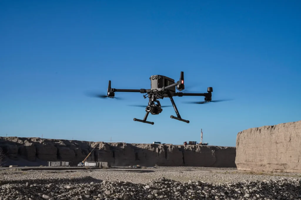 aerial mapping
Survey & Geospatial
Our strongest detailed capability: survey-grade mapping, measurement and spatial deliverables.
View pathway →
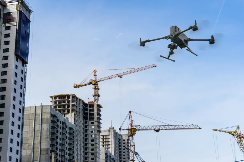 construction site survey
Construction
Site progress, volumes and as-built data captured on a repeatable schedule.
View pathway →
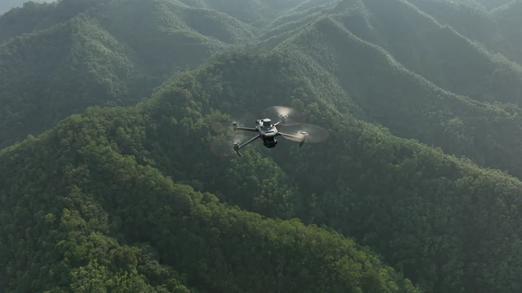 forestry terrain
Forestry
Coverage and monitoring across terrain that is hard to reach on the ground.
View pathway →
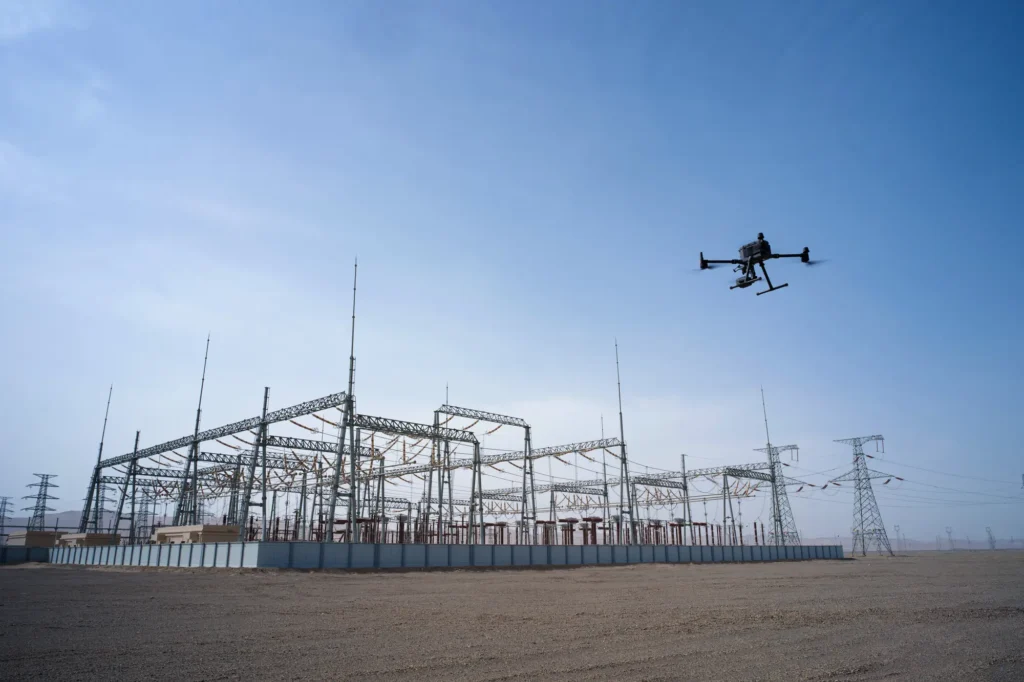 infrastructure inspection
Asset Management
Condition data and inspection workflows that keep asset records current and useful.
View pathway →
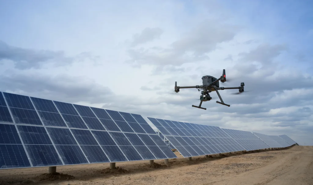 powerline inspection
Energy & Utilities
Inspection and monitoring across networks, generation and distribution infrastructure.
View pathway →
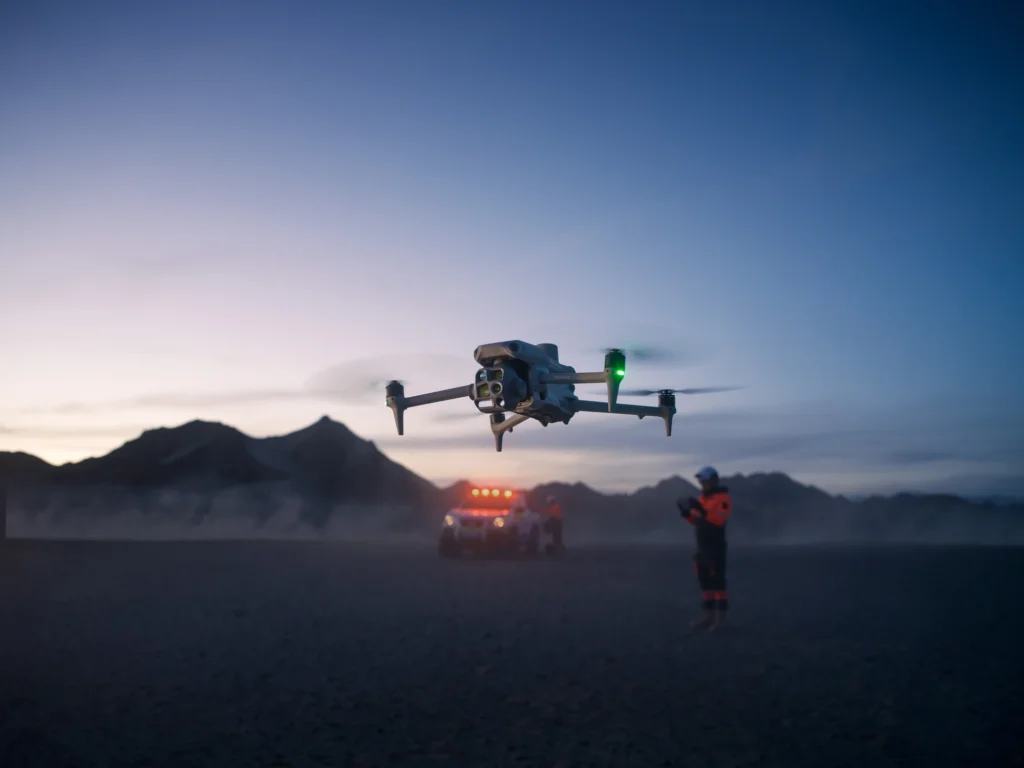 operator in field
Public Safety
Situational awareness and rapid aerial data for response and planning teams.
View pathway →

Talk to AeroIQ