
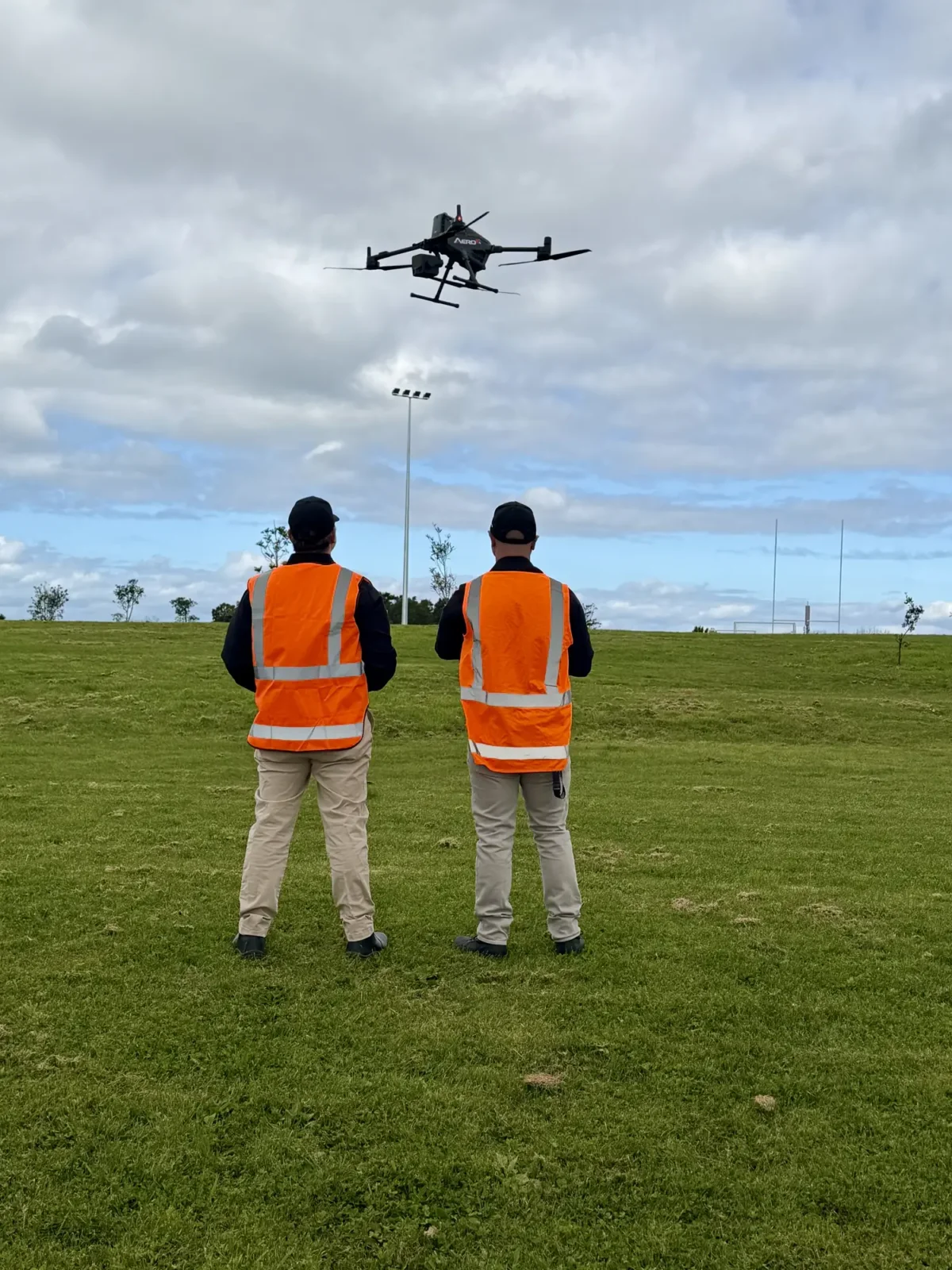
Foundations
Pilot training & skill building.
Training built around what you actually want to achieve: matched to your goals, experience level and the type of work you need to produce.
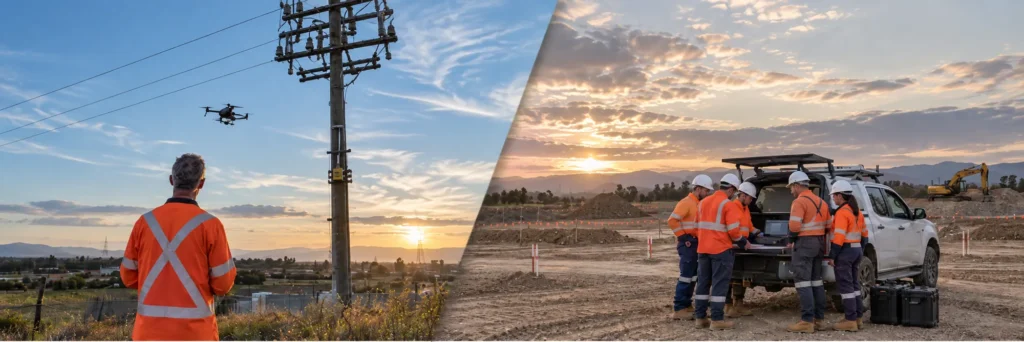
Individuals, teams or whole organisations
We match training to your structure, goals and the outputs you need to produce.
- Individuals who want to begin using drones or improve their capability
- Small teams who need consistent skills
- Large organisations with varying numbers of drone users and different output needs
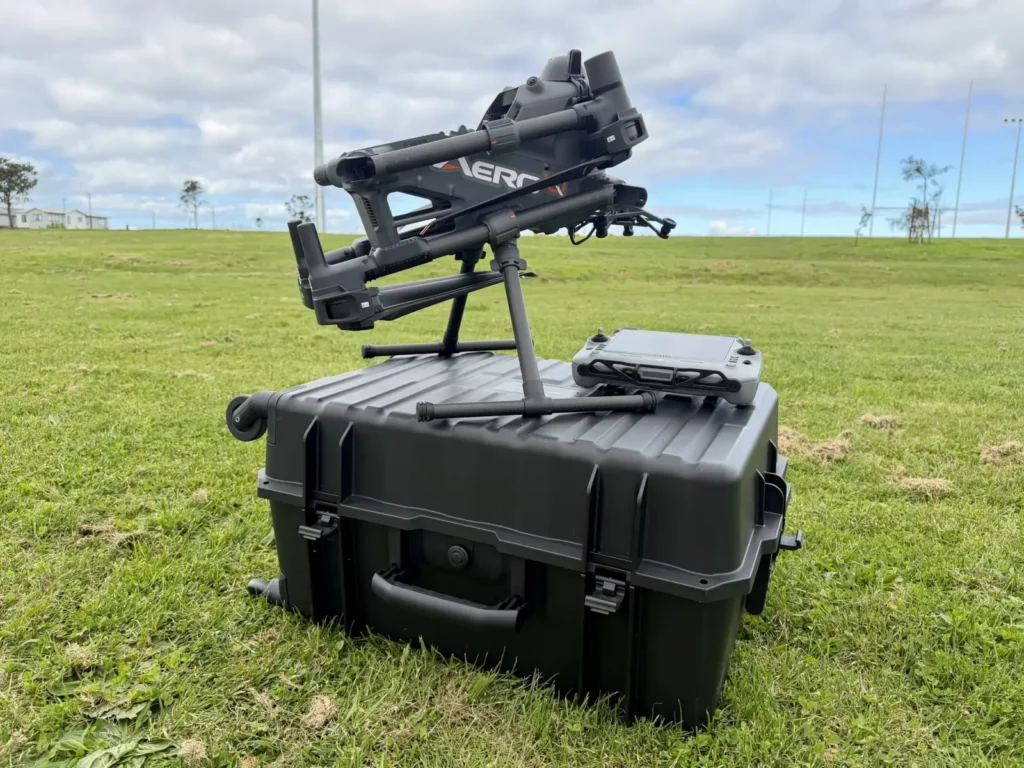
Introductory training & new equipment
New aircraft? We start with the basics and build up: calm, clear training that gets new users confident quickly.
- Drone setup and understanding how the aircraft works
- Pre-flight checks and safe operating habits
- Battery care and simple aircraft maintenance
- Getting comfortable with the controls and flying a drone
Show all 8Show fewer
- Navigating the flight app and planning simple missions
- Learning safe, steady flying skills
- Basic camera use and simple mission tasks
- Introduction to mapping, inspection or whichever outcome you are aiming for
Scenario-based training
Training built around the work you actually do.
Practical, hands-on sessions focused on producing the right output. Every scenario below is an example. We tailor each one to your sensors, sites and deliverables.
 elevation & mapping
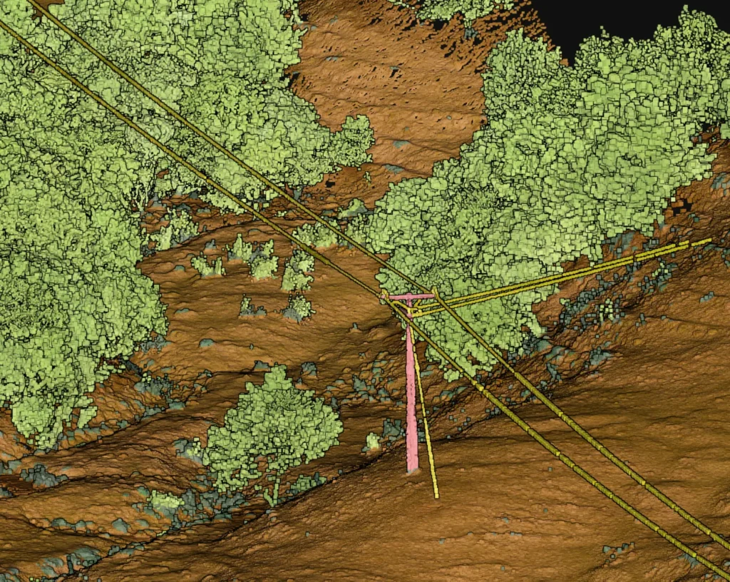
LiDAR
Precise elevation and structure data, even through vegetation.
Example sessions
- Topographic LiDAR mapping
- Corridor LiDAR mapping
- Transmission line surveys
- Railway corridor surveys
Show all 10Show fewer
- Forestry LiDAR mapping
- Vegetation penetration beneath canopy
- Stockpile volume calculations
- Mine and quarry LiDAR surveys
- Construction progress LiDAR capture
- Floodplain and catchment modelling
Outputs you can produce
- Classified point clouds
- Digital terrain models
- Digital surface models
- Bare-earth models
Show all 15Show fewer
- Contour maps
- Elevation models
- Slope maps
- Cross-sections
- Longitudinal profiles
- Stockpile volumes
- Canopy height models
- Vegetation encroachment measurements
- Clearance analysis
- Cut / fill analysis
- Digital twins
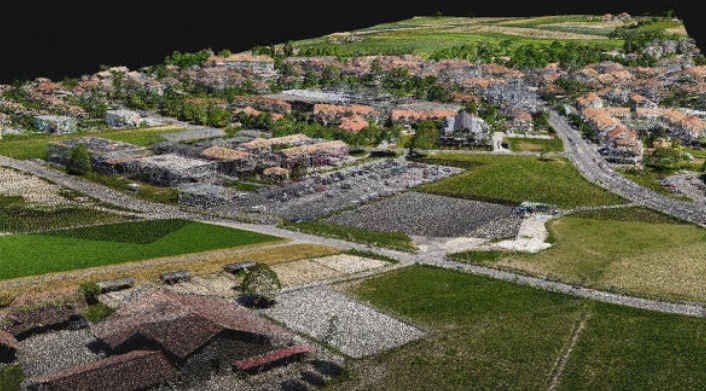 models & volumes
Photogrammetry
Detailed photos turned into maps, models and measurements.
Example sessions
- Construction site mapping
- General land and property mapping
- Earthworks and stockpile measurement
- Progress capture for projects
Show all 10Show fewer
- Surface condition mapping
- Environmental change mapping
- Coastal and erosion mapping
- Urban area mapping
- Digital twin creation
- Agricultural field mapping
Outputs you can produce
- Orthomosaic maps
- High-resolution aerial imagery
- 3D point clouds
- Textured meshes
Show all 15Show fewer
- 3D models
- Digital surface models
- Digital elevation models
- Contour maps
- Surface area calculations
- Volume calculations
- Change detection
- Progress reports
- Digital twins
- GIS-ready datasets
- CAD-ready datasets
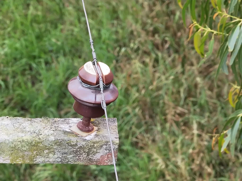 asset condition
Visual Inspection
High-zoom RGB imagery for asset condition assessments.
Example sessions
- Asset inspections
- Bridge inspections
- Tower inspections
- Roof inspections
Show all 11Show fewer
- Building façade inspections
- Power pole inspections
- Wind turbine inspections
- Reservoir wall inspections
- Stormwater infrastructure inspections
- Telecom tower antenna inspections
- Industrial tank and silo exterior inspections
Outputs you can produce
- High-resolution imagery
- Zoom imagery
- Defect identification
- Corrosion detection
Show all 10Show fewer
- Crack detection
- Missing bolt identification
- Structural condition reports
- Asset documentation
- Time-series comparison
- Maintenance prioritisation
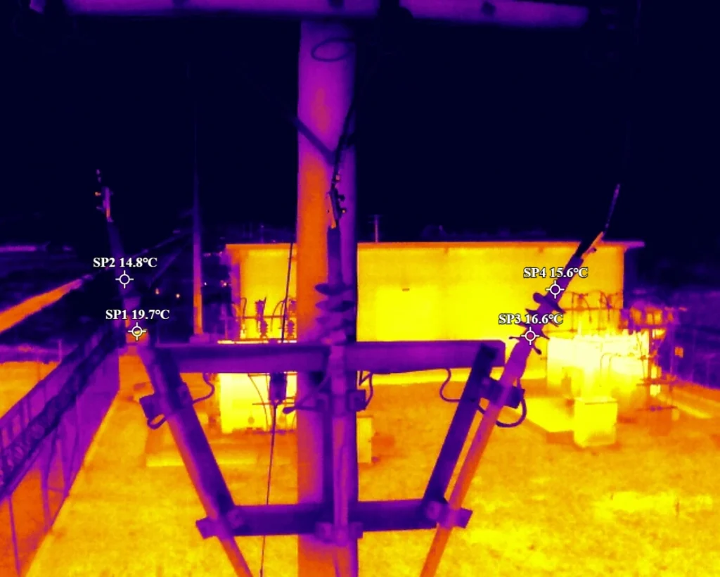 network & heat
Thermal
Heat differences that reveal issues not normally visible.
Example sessions
- Solar panel thermal inspections
- Electrical and switchyard inspections
- Powerline hotspot detection
- Building energy audits
Show all 10Show fewer
- Roof moisture detection
- Water ingress detection
- Mechanical equipment thermal checks
- Pipeline leak detection
- Thermal wildlife detection
- Search and rescue thermal support
Outputs you can produce
- Radiometric thermal imagery
- Temperature maps
- Hotspot identification
- Cold spot identification
Show all 8Show fewer
- Thermal anomaly reports
- Moisture detection reports
- Energy-loss reports
- Preventative maintenance reports
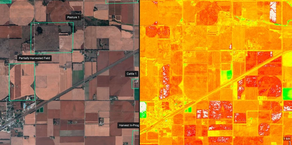 plant & land
Multispectral
Plant health and land condition data.
Example sessions
- Crop health monitoring
- Pasture condition mapping
- Irrigation performance checks
- Soil moisture indication
Show all 10Show fewer
- Plant stress detection
- Tree health monitoring
- Vineyard multispectral mapping
- Land rehabilitation monitoring
- Weed detection
- General vegetation health mapping
Outputs you can produce
- NDVI maps
- NDRE maps
- Plant health indices
- Stress detection
Show all 8Show fewer
- Irrigation maps
- Prescription maps
- Biomass analysis
- Yield estimation
Anything else
Looking for something different?
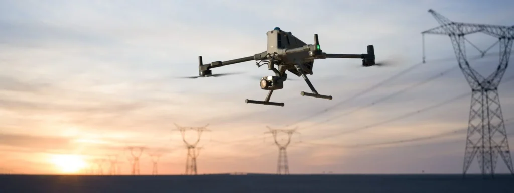
We've flown gas detectors, magnetometers, water samplers, release mechanisms and more. If it flies, chances are we've flown it.
Going further
Structure for teams that train at scale.

Company training frameworks
Many organisations want a clear, simple way to train their drone users, especially when different people do different types of work. We help you set up a framework showing what skills each role needs, how people progress, and how to keep training consistent across the team. Structure without complication.
- Skills mapped to each role
- Clear progression between levels
- Consistency across the team
Deeper frameworks: Drone Consulting →

Safety and compliance in training
If you operate under Part 102, safety and compliance are part of everyday work. Our training covers the basics: safe flying habits, simple record keeping, and how your procedures apply to real flights. Full Part 102 support sits inside our compliance and operations service.
- Safe flying habits
- Simple record keeping
- Procedures applied to real flights
Full support: Safety, Compliance & Performance →
Platforms
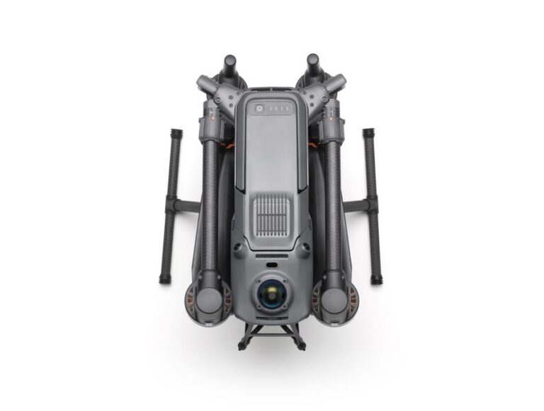
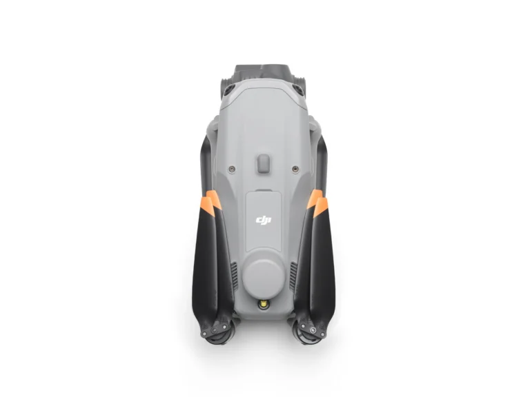
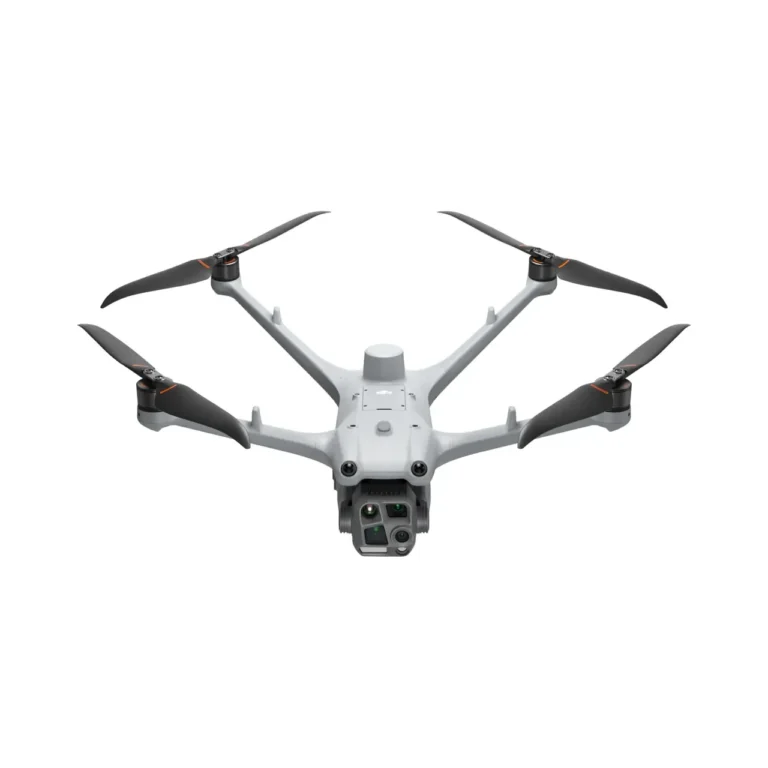
Explore drone platforms.
Let’s talk