
Product
DJI Matrice 400 Basic Kit
DJI · AIQ-0070 · Matrice 400
DJI’s longest flight time ever, with a maximum 6 kg payload capacity and support for multiple payload configurations, combined in a rugged enterprise drone platform built for demanding professional operations. The Matrice 400 Basic Kit provides the aircraft, controller, charging station, one battery and carry case, giving organisations a flexible base platform that can be configured with DJI Zenmuse and third-party payloads to suit LiDAR, mapping, inspection and other enterprise workflows.
- Max flight time59 min
- Max payload6 kg
- Max takeoff weight15.8 kg
- Max wind resistance12 m/s
- Ingress protectionIP55
- Max transmission distance40 km
Overview
About this product.
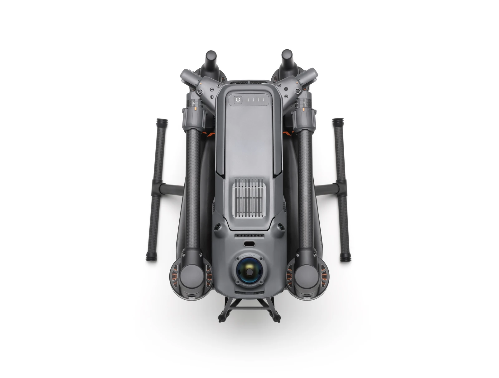
The DJI Matrice 400 is a flagship enterprise drone platform designed for long-endurance operations, flexible payload configurations and demanding professional workflows. With the longest flight time yet, a maximum payload capacity of 6 kg and advanced obstacle sensing combining rotating LiDAR, mmWave radar and low-light fisheye vision, it provides a capable base for organisations operating across surveying, mapping, inspection, infrastructure, utilities, emergency response and other enterprise applications.
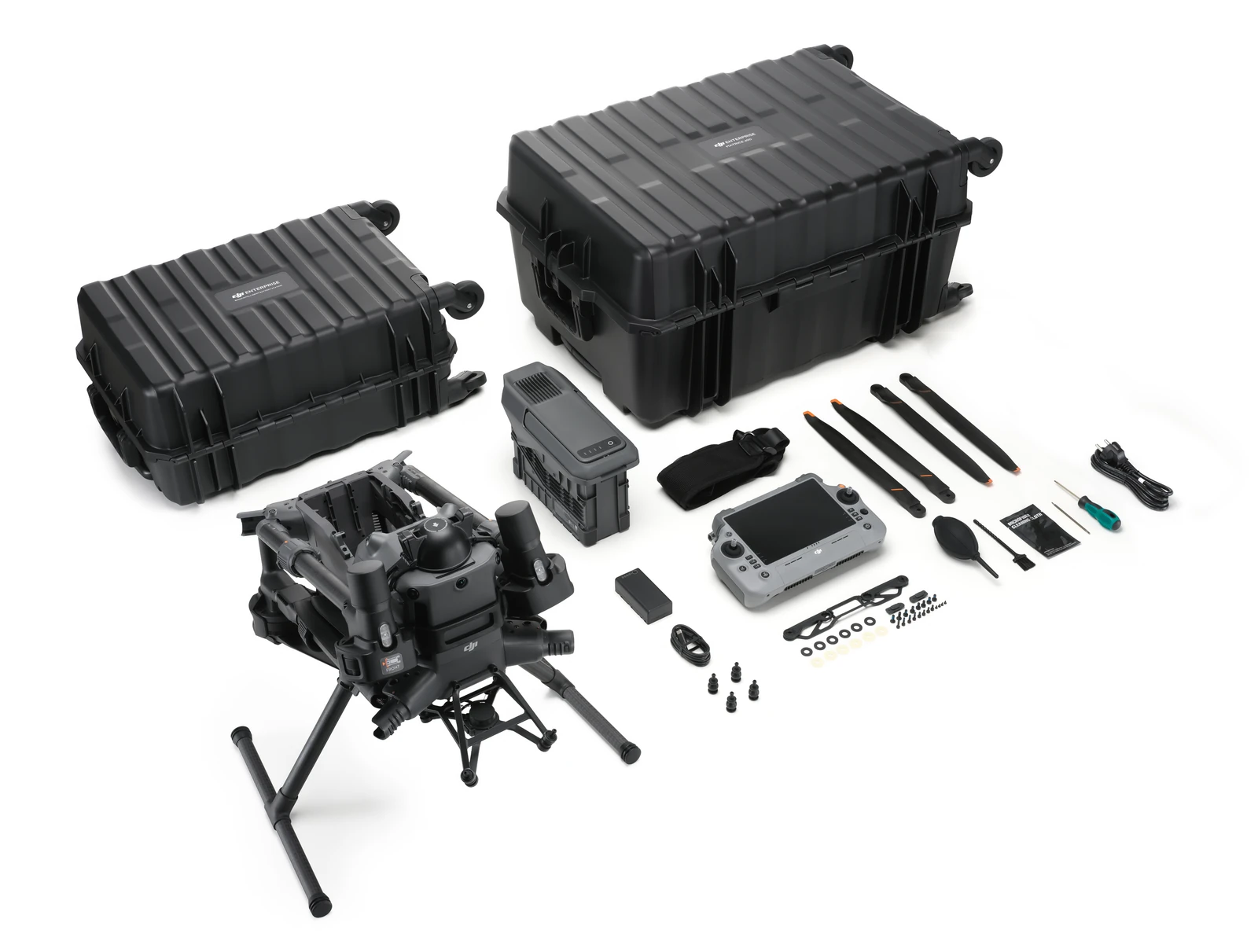
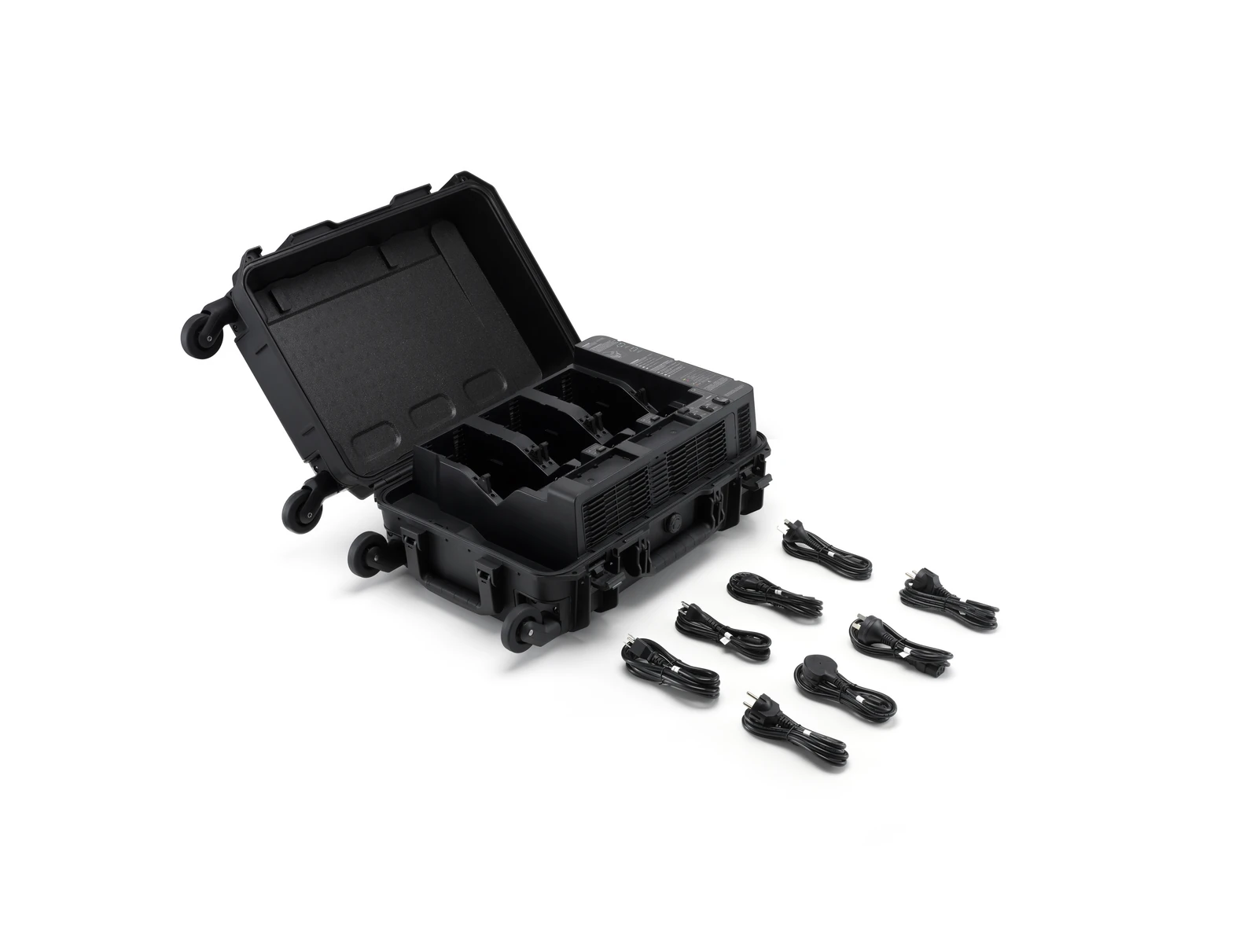
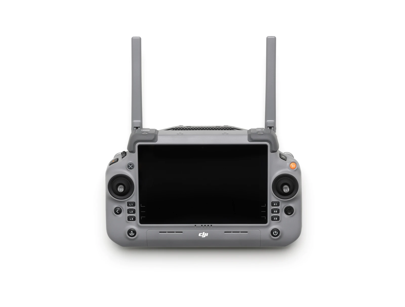
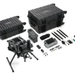
The Matrice 400 Basic Kit is the standard aircraft package and includes the Matrice 400 aircraft, controller, charging station and one battery. It does not include a dedicated camera or LiDAR payload, allowing the aircraft to be configured around the requirements of each operation. Compatible options include the Zenmuse L3, Zenmuse L2, Zenmuse P1, Zenmuse H30 Series and a range of specialist DJI and third-party payloads.
Payload Flexibility and Compatibility
- Up to 6 kg Payload Capacity: The Matrice 400 supports a maximum payload capacity of 6 kg, providing the flexibility to carry a wide range of enterprise sensors and equipment.
- Flexible Gimbal Configurations: Operators can switch between single and dual downward gimbal configurations, with an additional underside gimbal connector providing further mounting flexibility.
- Up to Seven Payloads: Four external E-Port V2 ports allow the aircraft to support as many as seven payloads simultaneously when configured appropriately.
- Zenmuse L3: DJI's long-range aerial LiDAR solution combines a 1535 nm LiDAR system with dual RGB mapping cameras for large-area topographic surveying, corridor mapping, forestry, infrastructure and powerline surveying.
- Zenmuse P1: A 45MP full-frame photogrammetry payload with interchangeable 24 mm, 35 mm and 50 mm fixed-focus lenses for high-accuracy aerial mapping, orthomosaics, point clouds, 3D modelling and high-resolution inspection imagery.
- Zenmuse H30 Series: The H30 and H30T combine wide-angle and high-zoom imaging with laser ranging and NIR illumination, while the H30T adds radiometric thermal imaging for detailed inspection and asset-management applications.
- Manifold 3: An onboard computing platform delivering up to 100 TOPS of processing performance for AI models, edge processing, custom applications and specialised automated workflows.
- Zenmuse S1 Spotlight: Provides up to 40 lux of central illumination at 100 metres, with multiple beam modes, brightness adjustment and strobe functionality for low-light operations.
- Zenmuse V1 Speaker: A high-output aerial speaker with up to 129 dB sound pressure at one metre and an effective broadcast distance of up to 700 metres under DJI's test conditions.
Safety and Operation in Challenging Environments
- IP55 Protection: The Matrice 400 is rated to IP55 for operation in demanding environments involving dust and rain, with an operating temperature range of -20°C to 50°C.
- Power-Line-Level Obstacle Sensing: Rotating LiDAR, high-precision mmWave radar and low-light fisheye sensors can detect small obstacles such as high-voltage power lines, including in darkness and challenging weather conditions.
- Aircraft Fusion Positioning: LiDAR, radar and vision sensing work together to provide omnidirectional sensing and stable positioning around challenging surfaces such as glass façades, wind turbine blades, bridge sides and steep terrain.
- Full-Colour Vision Assist: Four full-colour low-light fisheye sensors provide additional visual awareness to support safer operations in reduced-light conditions.
Video Transmission and Connectivity
- O4 Enterprise Enhanced Transmission: Ten aircraft antennas and a high-gain phased-array controller antenna support image transmission at distances of up to 40 km under the stated test conditions.
- Enhanced Cellular Connectivity: With two DJI Cellular Dongle 2 units installed, the system can select the stronger available carrier network to improve connection stability in areas affected by interference or limited coverage.
- Airborne Relay: One Matrice 400 can act as an airborne relay for another aircraft, extending transmission coverage for operations in mountainous or obstructed environments.
Intelligent Operations
- Smart Detection: When paired with the Zenmuse H30 Series, the Matrice 400 can use visible and thermal imaging to detect vehicles, vessels and subjects, with support for high-resolution grid photography and advanced tracking.
- Power Line AR: Detected wire obstacles can be displayed as clear augmented-reality lines on the controller, helping operators visualise hazards around power infrastructure.
- Map View AR: Building and landmark names can be displayed in real time, while major roads are highlighted on the controller to improve situational awareness in urban environments.
- AR Flight Waypoint: Provides a live preview of the aircraft's planned route during Return-to-Home, obstacle sensing and FlyTo operations, with AR Aircraft Shadow assisting with landing-position verification.
- Live Annotations: Operators can mark points, measure distances and calculate areas directly from the controller, with results able to be synchronised to DJI FlightHub 2.
- Real-Time Terrain Follow: Maintains a consistent relative height above the ground during manual or automated flights, supporting consistent GSD during high-precision mapping operations.
Intelligent Flight and Automated Operations
- Ship-Based Takeoff and Landing: The Matrice 400 can take off from a stationary vessel and land on a moving vessel using deck landing-point patterns, supporting offshore and maritime operations.
- Cruise: Maintains a selected flight direction without continuous stick input, reducing operator workload during long-distance flights and linear inspections.
- FlyTo: Automatically adjusts route and speed according to the surrounding environment while travelling to a selected destination.
- Smart Track: Provides subject positioning and automatic zoom adjustment, with the ability to reacquire a tracked subject after temporary obstruction.
- Point of Interest: Allows the aircraft to orbit a designated area while continuously observing or collecting imagery for fixed-point monitoring and 3D modelling.
- Power Line Follow: When equipped with Zenmuse L3 or L2, the Matrice 400 can automatically follow transmission and distribution lines while using its rotating LiDAR to detect and navigate around crossing lines.
- Slope and Geometric Routes: DJI Pilot 2 and FlightHub 2 support automated routes for surveying façades, slopes, inclined surfaces, individual buildings and other structures.
Key capabilities
- Maximum Payload Capacity: Up to 6 kg
- Payload Support: Up to seven payloads simultaneously with the appropriate configuration
- Obstacle Sensing: Rotating LiDAR, high-precision mmWave radar and low-light fisheye vision
- Video Transmission: O4 Enterprise Enhanced Transmission, up to 40 km under stated conditions
- Protection Rating: IP55
- Operating Temperature: -20°C to 50°C
- Compatible DJI Payloads: Zenmuse L3, Zenmuse L2, Zenmuse P1, Zenmuse H30 Series, Zenmuse S1, Zenmuse V1 and Manifold 3
- Payload Expansion: E-Port V2 support and third-party payload compatibility
Typical applications
Surveying and mapping, LiDAR data capture, photogrammetry, construction and AEC, powerline and utility inspection, infrastructure and asset management, forestry, emergency response, offshore operations and specialised enterprise applications. The advantage of the Basic Kit is that it provides the core Matrice 400 platform with the ability to choose your own sensor configuration. This allows organisations to select the most appropriate payload for each workflow or use the same aircraft across multiple applications.
What you get
What’s in the box.
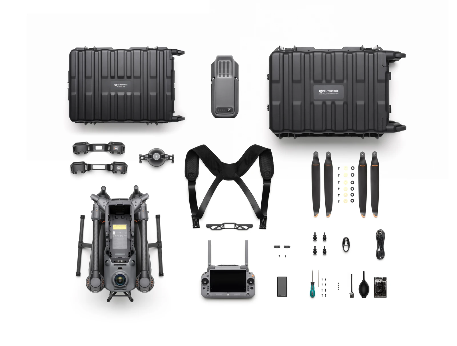
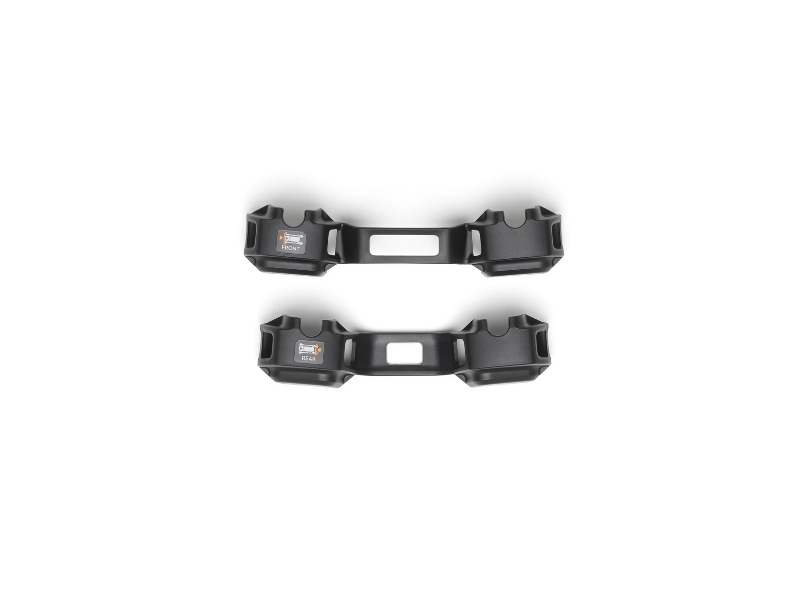
- Aircraft (with propeller holder) × 1
- Remote Controller (with DJI RC Plus 2 sub2G SDR Module) × 1
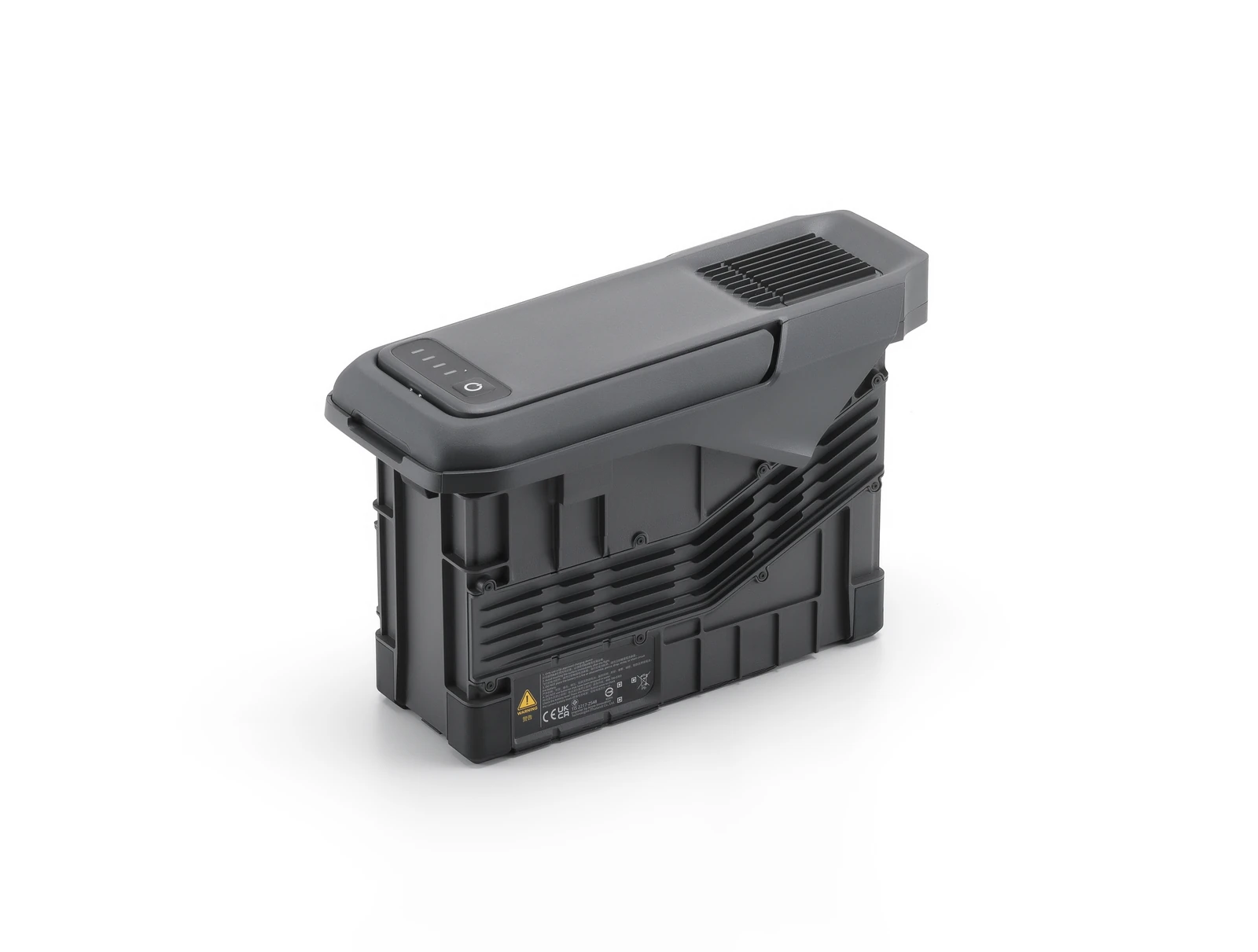
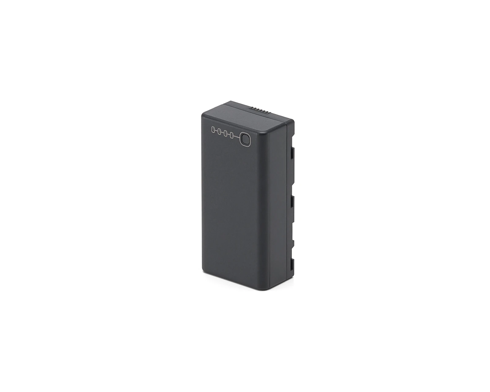
- TB100 Intelligent Flight Battery × 1
- BS100 Intelligent Battery Station × 1
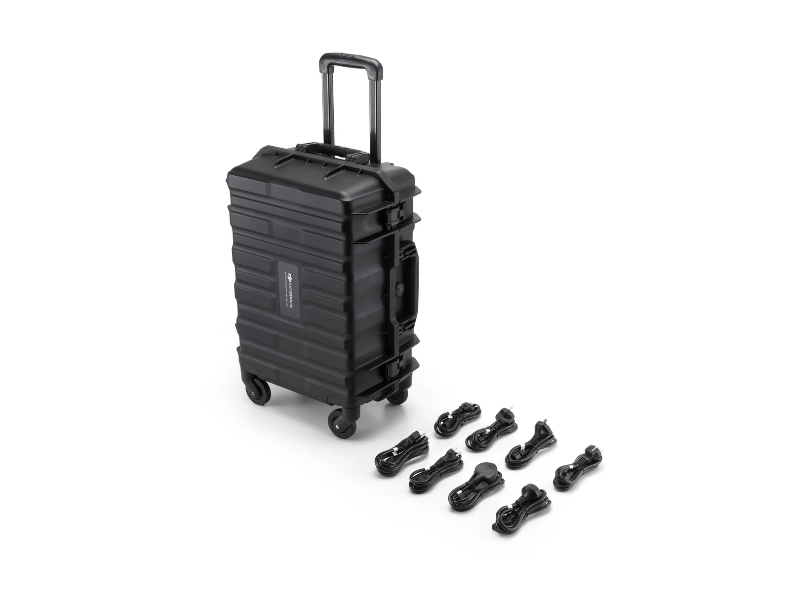
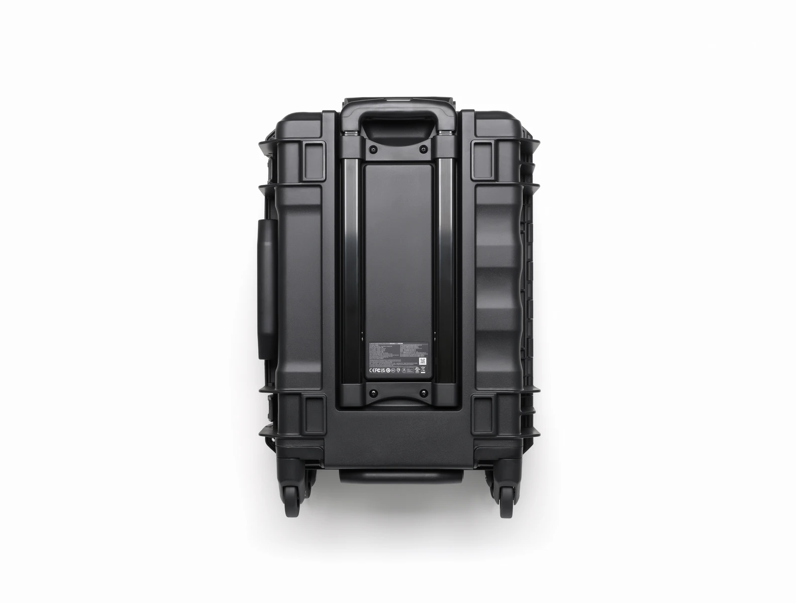
- Carrying Case × 1
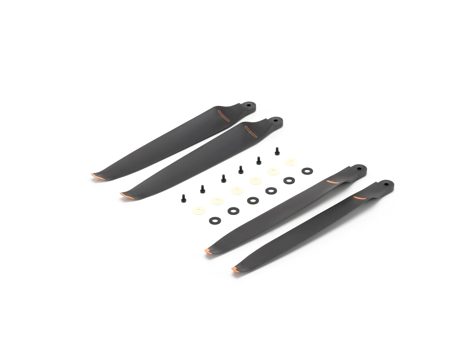
- Propellers (Pair) × 1
- Propeller Washers and Screws × 6
- Remote Controller Strap and Bracket (with two screws) × 1
- WB37 × 1
- Landing Gear × 2
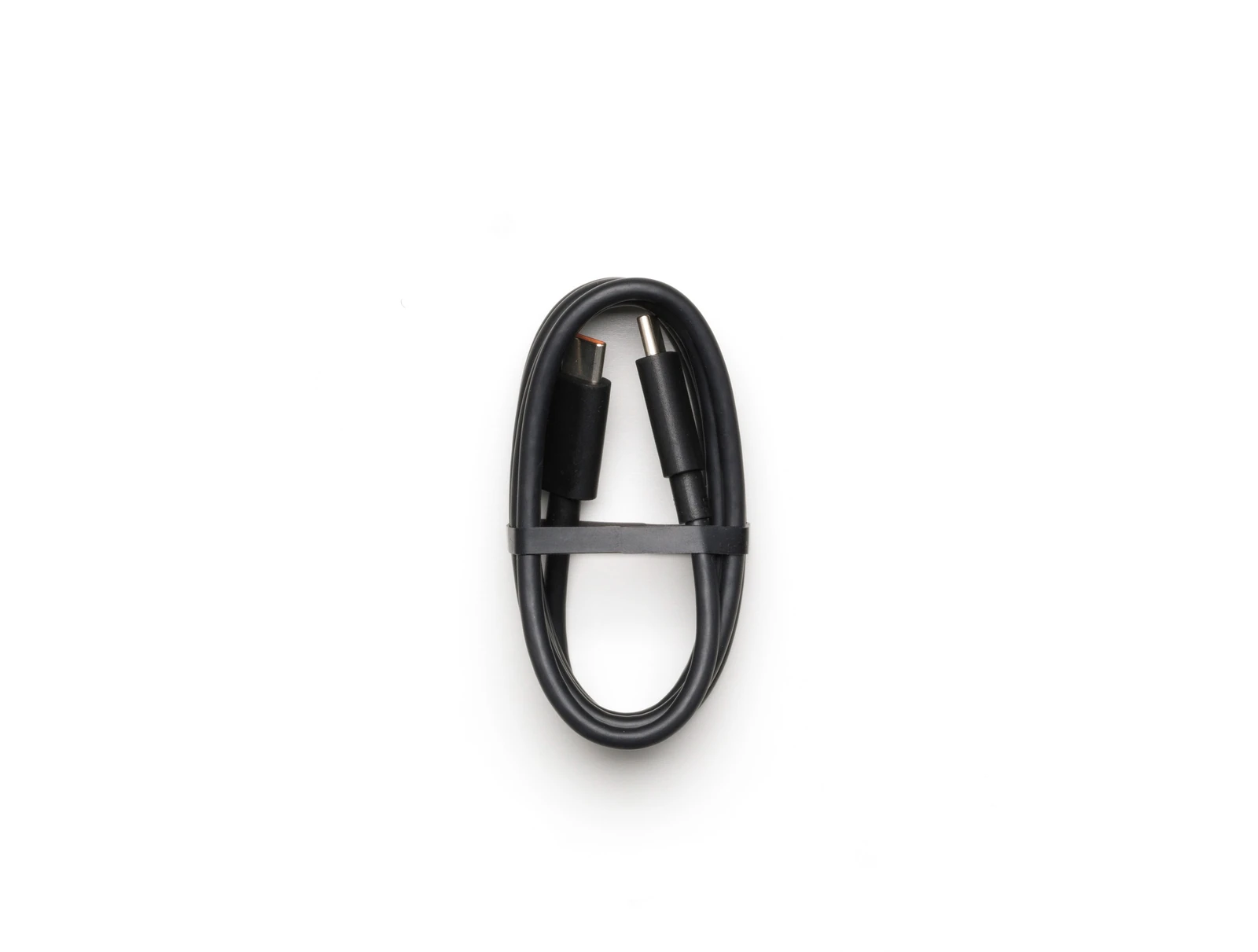
- USB C to USB C Cable × 1
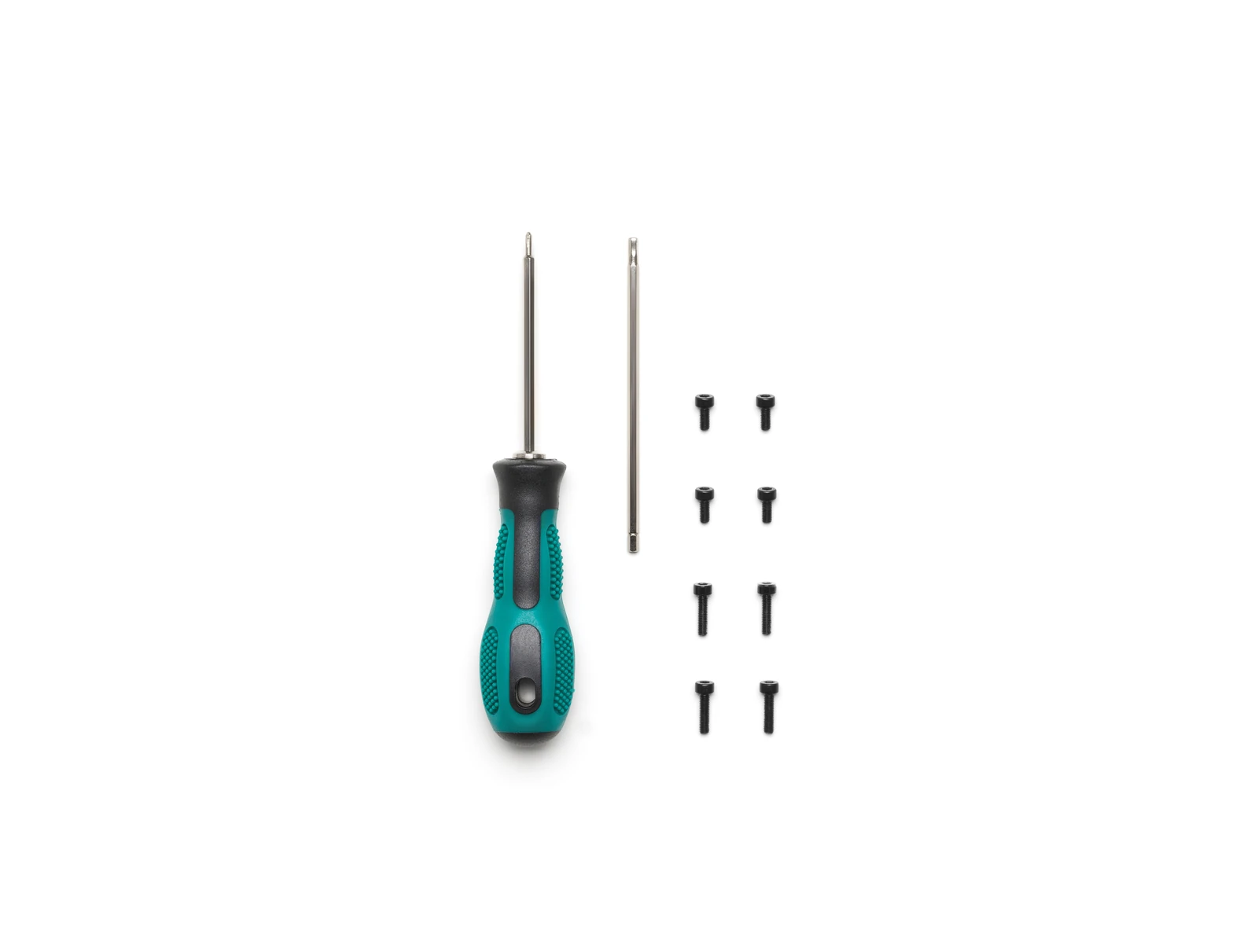
- Screws and Tools × 1
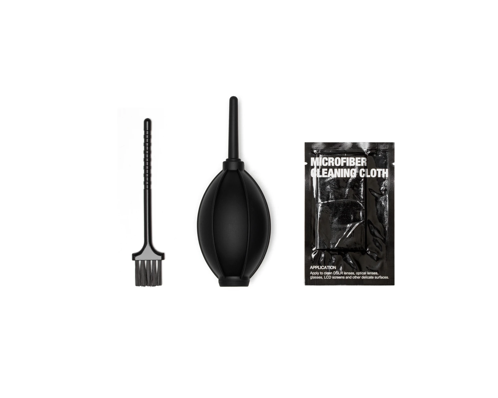
- Cleaning Tools × 1
- Rubber Port Covers and Screws × 1
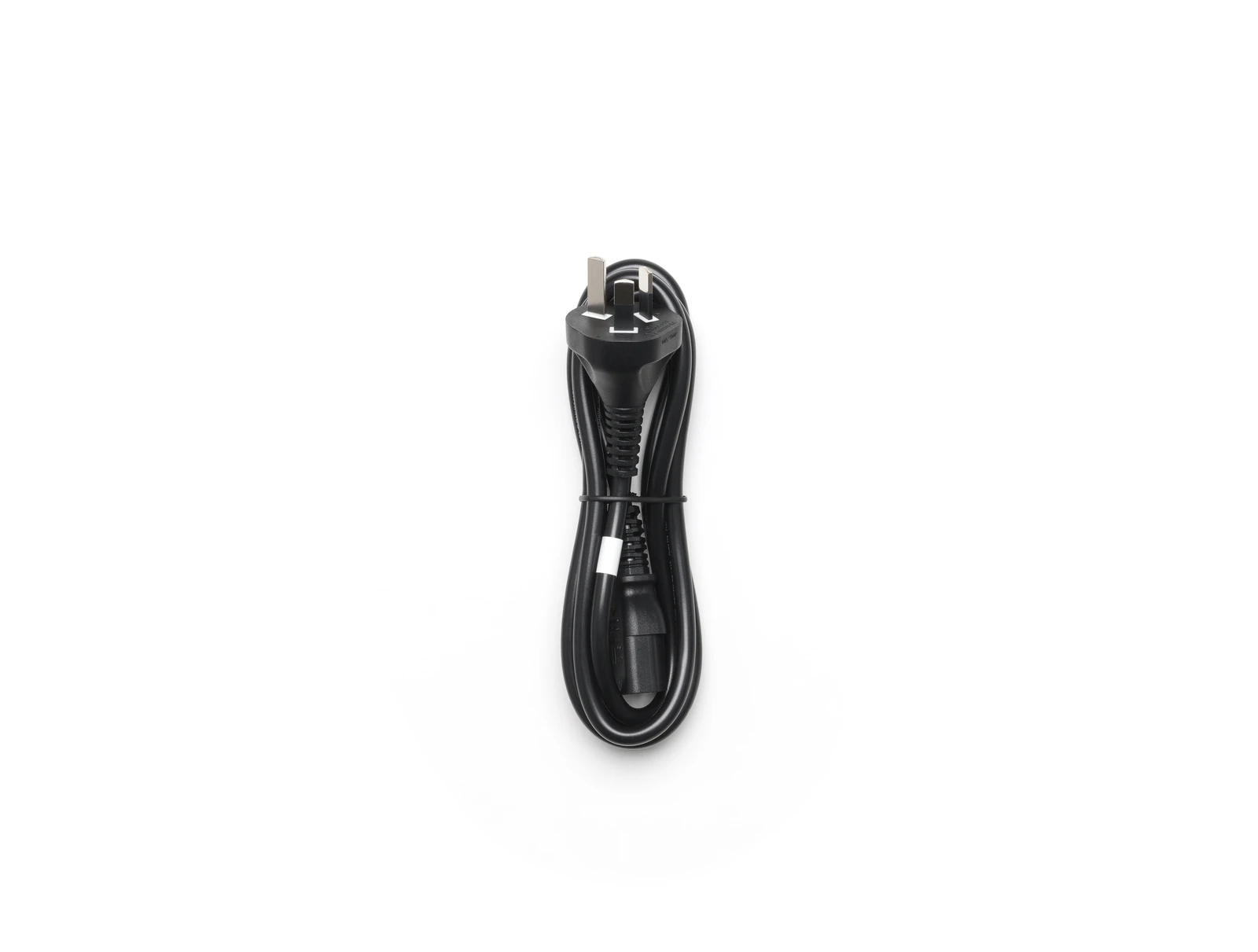
- Power Cable × 1
- Gimbal Damper × 1
- DJI Care Enterprise Plus (DJI Matrice 400) × 1
Technical data
Specifications.
| Flight & physical | |
|---|---|
| Max flight time (no wind, carrying H30T) | 59 min |
| Max payload | 6 kg |
| Max takeoff weight | 15.8 kg |
| Max wind resistance | 12 m/s |
| Ingress protection | IP55 |
| Takeoff weight (with batteries) | 9740±40 g |
| Operating temperature | -20 to 50 °C |
| Dimensions (unfolded) | 980×760×480 mm |
| Dimensions (folded) | 490×490×480 mm |
| Max horizontal speed | 25 m/s |
| Max ascent / descent speed | 10 / 8 m/s |
| Max takeoff altitude | 7000 m |
| Max flight distance | 49 km |
| Max hover time | 53 min |
| Sensing & safety | |
| Obstacle sensing | Omnidirectional vision + rotating LiDAR + mmWave radar |
| Night-capable sensing | Low-light fisheye vision + 3D infrared |
| Transmission | |
| Video transmission | DJI O4 Enterprise Enhanced |
| Max transmission distance (FCC) | 40 km |
| Max transmission distance (CE/SRRC) | 20 km |
| Positioning | |
| GNSS | GPS + Galileo + BeiDou + GLONASS |
| RTK accuracy (H / V) | 1 cm + 1 ppm / 1.5 cm + 1 ppm |
| Hovering accuracy (RTK) | ±0.1 m |
Questions
Questions we’re asked.
The aircraft
What is its IP rating, and can it fly in rain?
IP55. DJI’s limit is rain up to 100 mm in 24 hours. The rating is not permanent. It degrades with wear.
What does the obstacle sensing consist of?
An omnidirectional binocular vision system with a downward pair, a horizontal rotating LiDAR and an upward LiDAR, a downward 3D infrared range sensor, and six-direction mmWave radar.
How close to power lines can it sense?
DJI rates it to sense a 21.6 mm main conductor head-on at up to 25 m/s, and main lines together with 12 mm distribution lines at up to 17 m/s. Cloud, fog, rain and snow reduce that, as do the material, position and shape of the object. The aircraft cannot avoid fast-moving objects, and the mmWave radar is unavailable in some regions.
How much payload can it carry, and how is it mounted?
Up to 6 kg on the third gimbal connector. Mounting points are the single downward, dual downward and third gimbal connectors plus the Zenmuse L3 single-gimbal connector; there is no upward connector. With all three gimbal positions in use, non-DJI payloads are limited to 6 kg in total, and DJI asks for the payload maker’s test report for flight on low battery.
How many payloads at once?
Four external E-Port V2 ports, and the E4 port expands to four through the E-Port HUB plate, up to seven payloads in total.
Which payloads and accessories does it take?
Gimbal cameras: Zenmuse L3, H30, H30T, L2 and P1. Accessories: the AP100 parachute, Zenmuse S1 spotlight and V1 speaker, Manifold 3, the RC Plus 2 sub2G SDR Module where its frequencies are permitted, and the Cellular Dongle 2. RTK: the D-RTK 3 Multifunctional Station and the D-RTK 2 Mobile Station. Ecosystem: DJI X-Port, the E-Port V2 development and coaxial cable kits, and the SkyPort V3 adapter set and cable kit. Matrice 350 accessories do not fit.
One battery or two?
One TB100. A built-in capacitor keeps the essentials powered during a swap, so a change completed within 45 seconds lets the aircraft resume quickly.
Which propellers does it use?
The standard 2510F set, rated for flight up to 7,000 m above sea level. There is no separate high-altitude propeller. Front and rear propellers sit at different heights for efficiency and stability. You can replace a propeller yourself in an emergency; DJI asks that a dealer check the fit afterwards.
Anything to know about the rotating LiDAR?
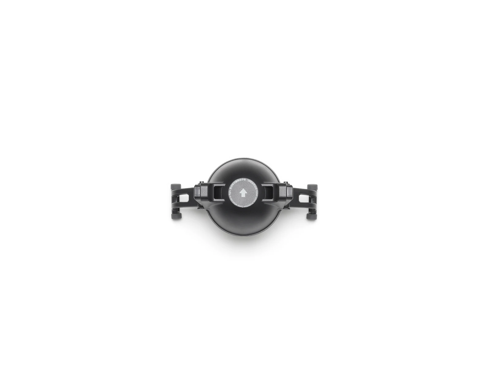
Keep its protective cover on when the aircraft is not in use, and clean the dome with the supplied cloth. A dirty dome degrades obstacle sensing.
Can one Matrice 400 relay for another?
Yes, onboard relay for one additional Matrice 400 at a time. It uses the 5 GHz band, so it is unavailable where that band is not permitted.
Does it support D-RTK 3, Network RTK and 4G?
D-RTK 3, yes. Network RTK runs through the remote controller (over Wi-Fi if there is no 4G dongle) and is bound to the controller, not the aircraft. Two 4G enhanced transmission modules can be fitted.
Boat Launch
What does Boat Launch change?
It clears the sensor and ship-speed warnings a vessel otherwise triggers and enables automatic takeoff and landing. To do that it switches downward obstacle avoidance off. Check that setting again before flying over land.
What are the limits and precautions?
Takeoff from a stationary vessel and landing on one moving at under 10 knots, preferably from the stern. DJI asks for a flat, clear 3 m × 3 m deck area with open sky above, the official landing pattern in the centre, and no payload under the aircraft. Watch the live view and the aircraft together, allow 20 to 30 seconds for satellites to converge before takeoff, and hold the throttle down through the automatic descent. If the pattern is lost above 20 m the aircraft climbs out of landing mode until it sees it again.
Power-line inspection
Which lines does the power-line inspection feature support?
Single, twin, quad, hexa and octo-bundled conductors and ground wires, inclined at less than 60°. It works only on the Matrice 400 carrying a Zenmuse H30 Series payload.
Does it need RTK?
No. The aircraft follows the sag of the line as it flies along it, without a pre-built model or a high-accuracy route. Enable RTK if the photo positions will be used to localise defects afterwards.
Will the aircraft fly around obstacles on the line?
No. Near a tree or a building it brakes and hovers; you fly over the obstacle by hand, capture the missed section and resume. Flying between phases is not recommended, because the aircraft works close to the conductors. Gimbal pitch can be adjusted during the inspection.
Any capture settings worth knowing?
The feature does not use the H30T’s 8K mode (DJI says it adds little visually and slows the shot interval) and it saves the zoom camera’s photos only, not wide-angle or thermal frames alongside them. Clear, well-lit days give the best results.
Software and control
Which apps and SDKs does it support?
DJI Pilot 2 and software built on MSDK for control; Manifold 3, Payload SDK, Mobile SDK and Cloud API for development.
Dual controls and FlightHub 2?
Dual controls, yes. Through FlightHub 2 it takes remote control of flight, gimbal cameras, PSDK accessories and route functions.
Can it be used across countries?
No. Confirm the applicable countries and regions with your dealer before purchase.
Platform
Equipment for the Matrice 400.
Batteries, controllers and accessories that belong to this platform.
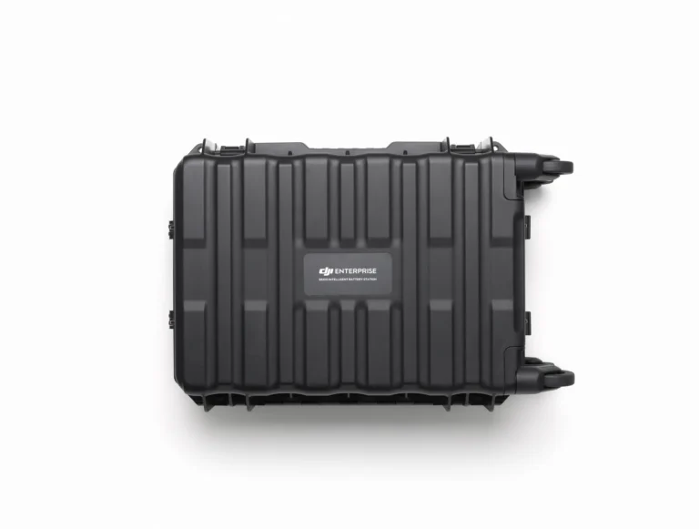
BS100 Intelligent Battery Station
AIQ-0001
The Matrice 400's battery station: three TB100 channels plus two WB37, drawing up to 2,184 W.
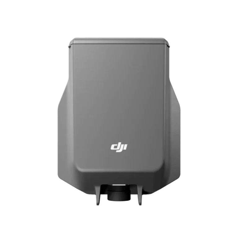
DJI AP100 Parachute
AIQ-0105
An independent parachute recovery system for the Matrice 400 with its own power and flight-termination control, deploying in under 600 ms to a descent rate below 5 m/s.
DJI Care Enterprise Basic(H30)
AIQ-0131
Accident cover for the Zenmuse H30: 12 months, including two replacements.
DJI Care Enterprise Basic(H30T)
AIQ-0130
Accident cover for the Zenmuse H30T: 12 months, including two replacements.
DJI Care Enterprise Basic(P1)
AIQ-0133
Accident cover for the Zenmuse P1: 12 months, including two replacements.
DJI Care Enterprise Plus (DJI Matrice 400)
AIQ-0104
Accident cover for the DJI Matrice 400: 12 months of repair or replacement, with coverage shareable across devices.

Talk to AeroIQ