
Product
DJI FlightHub 2 Business Version 1 Year
DJI · AIQ-0149
Professional 1-year licence for DJI FlightHub 2 Business, providing cloud-based drone fleet management, remote operations, intelligent mission planning, mapping, AI-assisted analysis and automated workflows. Designed for organisations managing DJI Enterprise aircraft, DJI Docks and repeatable drone operations across surveying, construction, infrastructure, utilities and asset management.
- TierBusiness
- Licence term1 year
Overview
About this product.
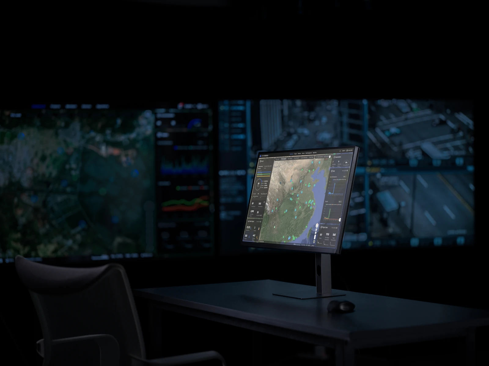
DJI FlightHub 2 Business is a cloud-based drone operations management platform that brings aircraft, docks, missions, live video, mapping data and project information together within a centralised environment. Teams can remotely manage connected DJI Enterprise equipment, plan and execute flight routes, monitor live operations and collaborate across projects without needing to be physically located alongside the aircraft.
The 1-year Business licence provides access to DJI FlightHub 2's professional operational, mapping, analysis and automation capabilities for a 12-month term. With remote drone control, intelligent mission planning, AI-assisted search and change detection, cloud mapping, project analytics and automated DJI Dock workflows, FlightHub 2 Business provides a scalable platform for organisations looking to manage repeatable drone operations and the data they generate.
Real-Time Remote Operations
- Virtual Cockpit: Remotely control compatible DJI aircraft through a centralised interface combining live camera feeds, mapping information, flight telemetry and aircraft controls.
- Remote Flight Management: Manage take-off, flight operations, data capture and return-to-home workflows remotely when using compatible aircraft and DJI Dock solutions.
- Live Video Streaming: View real-time aircraft, payload and dock camera feeds to monitor operations and provide teams with immediate visibility of conditions in the field.
- Enhanced Situational Awareness: Use features including AR projections, map annotations, Smart Track and positioning information to better understand aircraft, asset and operational locations.
- Live Collaboration: Share operational information, annotations and livestreams between team members to improve coordination across remote projects.
Intelligent Mission Planning
- Waypoint Route Planning: Create repeatable flight routes for inspection, mapping, patrol and other professional drone applications.
- 3D Route Editing: Plan flight paths within a three-dimensional environment to better visualise aircraft positioning, camera angles and proximity to assets.
- Batch Waypoint Editing: Apply changes across multiple waypoints to simplify the creation and modification of complex flight routes.
- Reusable Mission Library: Save frequently used routes and mission configurations for repeatable data capture across recurring projects.
- AI-Assisted Route Creation: Use intelligent FlightHub 2 tools to assist with generating flight routes from defined areas, points, annotations or operational requirements.
AI-Assisted Inspection and Data Search
- Smart Media Search: Use intelligent recognition to identify and locate objects or features within captured imagery and video without manually reviewing entire datasets.
- Multimodal Detection: Apply AI-assisted recognition to live and recorded operational data to identify relevant targets and support faster review.
- Target Counting: Automatically identify and count recognised objects within supported media to assist with inspection, monitoring and reporting workflows.
- AI Change Detection: Compare data captured during repeat missions to identify and highlight changes between different stages of a project or inspection.
- Repeatable Inspection Analysis: Combine consistent flight routes with AI-assisted analysis to make recurring asset inspections and progress monitoring more efficient.
Cloud Mapping and Reconstruction
- Cloud-Based Mapping: Process compatible drone imagery within FlightHub 2 to generate mapping outputs without relying entirely on local workstation processing.
- Real-Time Mapping: Generate mapping results while compatible drone operations are underway, providing teams with faster access to site information.
- 2D and 3D Project Data: Manage reconstructed mapping outputs alongside flight records, imagery, annotations and other project information.
- Centralised Model Access: Store and access mapping results through FlightHub 2 so authorised team members can review project data from different locations.
- Integrated Operational Workflow: Connect data collection, reconstruction and analysis within the same cloud environment to reduce the need to move information between separate platforms.
Analyzer and Project Intelligence
- Project Analyzer: Bring models, media and design information together to review project conditions and operational data within a centralised workspace.
- Distance and Area Analysis: Perform measurements directly against compatible project models to support inspection, construction and geospatial workflows.
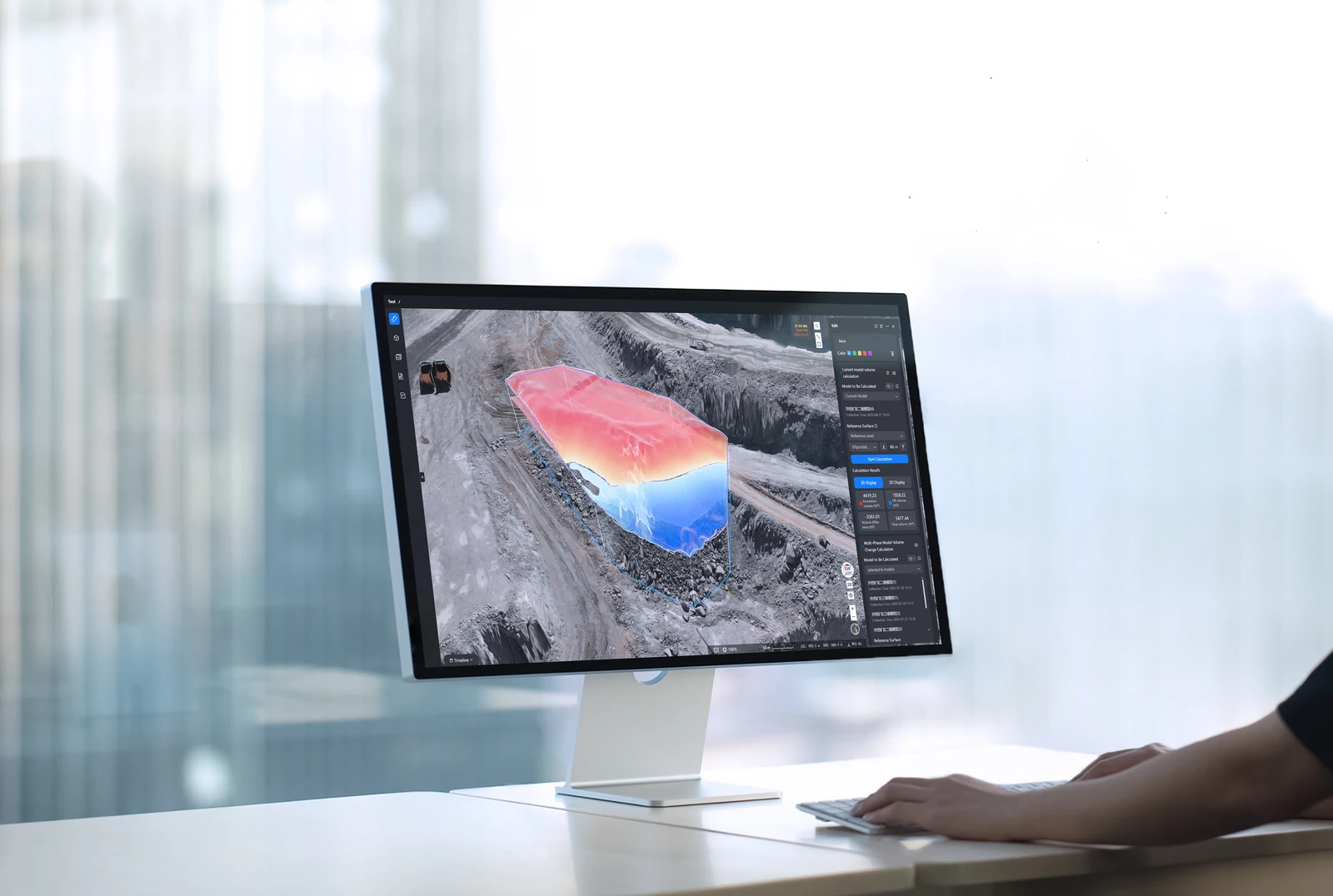
- Volume Calculations: Calculate and compare volumes across project models for applications such as stockpiles, earthworks and site progress.
- Cross-Section and Gradient Analysis: Extract additional measurement information from supported models for engineering, construction and surveying applications.
- Project Timelines: Compare models and imagery captured at different dates to visualise how sites and assets change over time.
- Reporting: Turn analysed project information and AI-assisted findings into reports for internal teams, clients and other stakeholders.
Automated DJI Dock Workflows
- Scheduled Operations: Create repeatable automated missions for compatible DJI Dock systems, reducing the requirement for personnel to be present at each operational site.
- Automated Mission Execution: Schedule aircraft to complete predefined routes, collect data and return to the dock automatically.
- Triggered Workflows: Configure supported operations to dispatch compatible dock-based aircraft in response to defined events or operational requirements.
- Automated Data Collection: Connect scheduled flights with cloud upload and project management to create repeatable inspection and monitoring workflows.
- Remote Dock Management: Monitor compatible DJI Docks, connected aircraft and mission status through the FlightHub 2 platform.
Fleet and Organisation Management
- Centralised Device Management: Manage compatible aircraft, payloads and DJI Docks across multiple sites from a single organisation.
- Unlimited Connected Devices: Connect an unrestricted number of supported DJI devices to a FlightHub 2 Business organisation.
- Unlimited User Accounts: Add the users required across operational, management and project teams without the five-account restriction of the Standard version.
- Custom Roles and Permissions: Control access to projects and operational information based on team responsibilities.
- Operational Dashboard: View key organisation information including assets, device status, mission schedules and data outputs from a centralised dashboard.
- Flight Records: Maintain operational records and export flight information for reporting, compliance and fleet management.
- Organisation Data Management: Manage and share routes, annotations, models and other project resources across the organisation.
DJI Enterprise Ecosystem Integration
- DJI Dock Integration: Manage DJI Dock 3, DJI Dock 2 and supported earlier DJI Dock systems for remote and automated drone operations.
- DJI Enterprise Aircraft Support: Connect compatible DJI Enterprise platforms including Matrice 400, Matrice 350 RTK, Matrice 30 Series, Matrice 4 Series, Matrice 4D Series and Mavic 3 Enterprise Series aircraft.
- Payload Integration: Work with supported DJI Enterprise payloads including the Zenmuse H30 Series, H20 Series, Zenmuse S1 and Zenmuse V1.
- Connected DJI Workflow: Bring aircraft management, flight planning, remote operation, data capture, reconstruction and analysis together within the wider DJI Enterprise ecosystem.
Key capabilities
- Licence: DJI FlightHub 2 Business
- Licence Term: 1 Year / 365 Days
- Deployment: DJI Public Cloud
- Activation Period: Within 6 Months of Activation Code Issue
- Connected Devices: Unlimited
- User Accounts: Unlimited
- Livestream Allowance: 2,000 Minutes per Month
- Livestream Rollover: Unused allowance can roll over for one additional month
- Cloud Storage: 500 GB
- Mapping Allowance: 3,000 Images per Month
- Mapping Rollover: Unused allowance can roll over for one additional month
- Virtual Cockpit: Included
- Remote Drone Operations: Included
- Flight Route Planning: Included
- 3D Route Planning: Included
- Cloud Mapping: Included
- Real-Time Mapping: Included
- Smart Media Search: Included
- AI Change Detection: Included
- Analyzer: Included
- Dashboard: Included
- Automated Workflows: Included
- DJI Dock Management: Included
- Custom Project Roles and Permissions: Included
- Flight Record Export: Included
- Additional Resource Packages: Available separately
Typical applications
Drone fleet management, surveying and mapping, construction progress monitoring, earthworks and volumetrics, infrastructure inspection, asset management, utilities and energy inspection, remote site monitoring, automated DJI Dock operations, repeatable inspection programs and multi-site enterprise drone operations.
Technical data
Specifications.
| Licence | |
|---|---|
| Tier | Business |
| Licence term | 1 year |

Talk to AeroIQ