
Product
DJI Matrice 4D Basic Kit
DJI · AIQ-0075 · Matrice 4D
20MP 4/3 CMOS mechanical-shutter camera, medium telephoto and telephoto cameras, combined in a weather-resistant enterprise drone built for professional surveying, mapping and detailed visual inspection. DJI Dock 3 compatibility, extended flight performance and intelligent mapping capabilities support repeatable geospatial, construction and remote data-capture workflows.
- Max flight time54 min
- Takeoff weight2090 g
- Ingress protectionIP55
- Max wind resistance12 m/s
- Wide camera sensor4/3 CMOS
- Wide camera resolution20 MP
Overview
About this product.
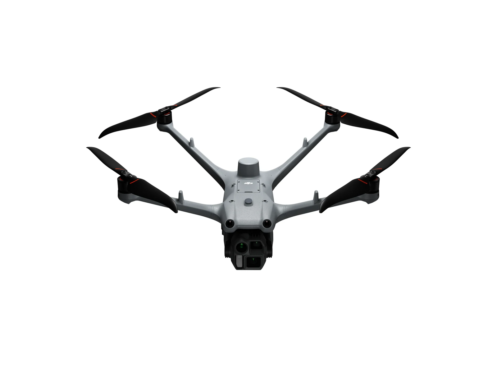
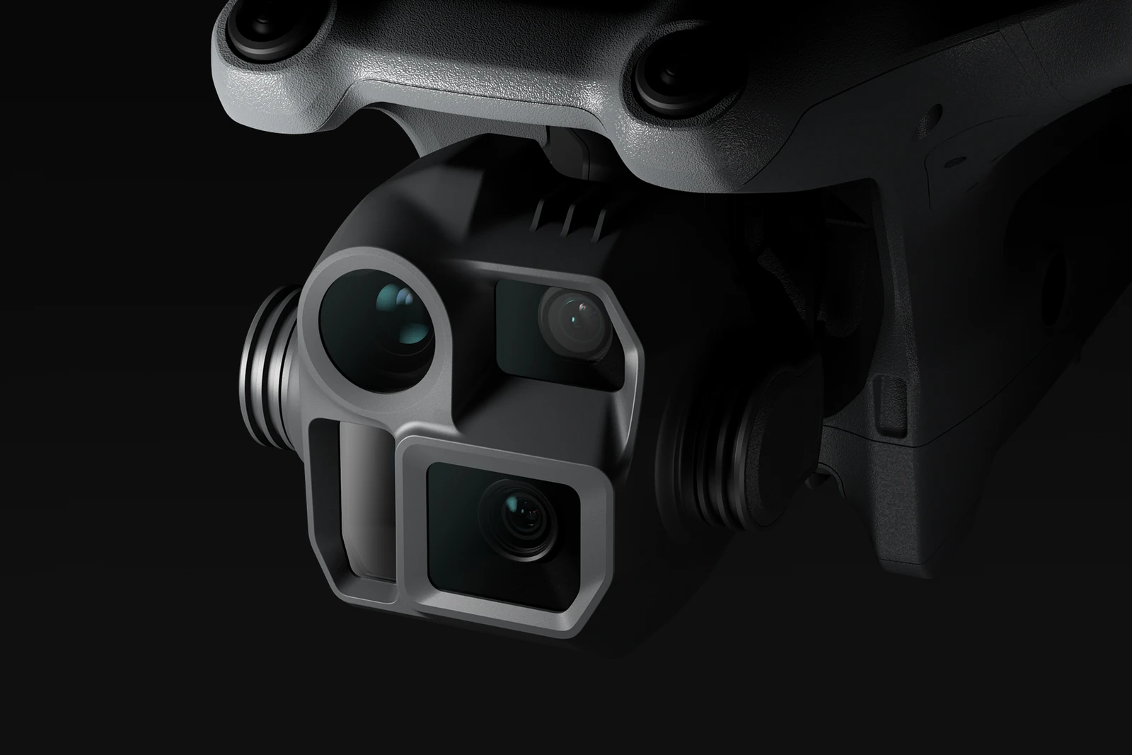
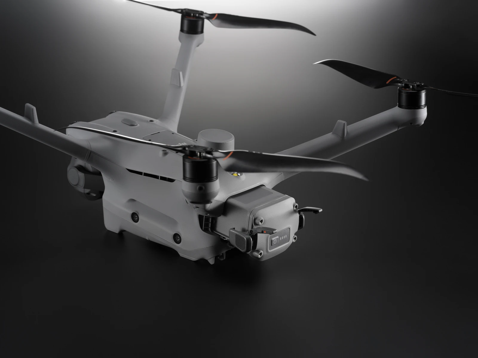
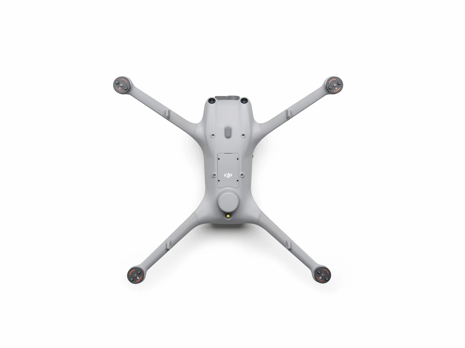
The DJI Matrice 4D is a weather-resistant enterprise drone built for professional surveying, mapping and high-resolution visual inspection. Its 20MP 4/3 CMOS wide-angle camera with mechanical shutter is supported by dedicated medium telephoto and telephoto cameras, giving operators a flexible platform for accurate geospatial data capture and detailed inspection work.
Designed for applications including construction, earthworks, surveying, infrastructure and asset management, the Matrice 4D combines repeatable aerial data collection with an IP55-rated aircraft and compatibility with DJI Dock 3. This makes it particularly well suited to organisations that need scheduled or remotely operated missions and consistent data capture over time.
Flight Performance and Weather Resistance
- Up to 47 Minutes of Flight Time: When fully charged, the Matrice 4D can achieve up to 47 minutes of flight time at 15 m/s, providing a 37% increase in operation time compared with the Matrice 3D/3TD.
- Extended Remote Operations: At a 10 km operating radius, the aircraft can provide up to 18 minutes of operation under the stated test conditions, supporting missions across larger sites and remote locations.
- IP55 Protection: An IP55 dust and water resistance rating allows the Matrice 4D to operate in demanding outdoor environments and changing weather conditions.
- DJI Dock 3 Compatibility: The Matrice 4D can operate as part of a DJI Dock 3 deployment, supporting scheduled, remote and repeatable aerial data-capture programmes.
Surveying and Mapping
- 5-Directional Oblique Photography: Capture imagery from five directions to improve data collection for detailed mapping and 3D reconstruction workflows.
- 3-Directional Orthophoto Capture: Three-direction orthophoto photography provides additional capture options for high-precision mapping applications.
- Real-Time Terrain Following: Terrain-following capability supports mapping operations across sites with changing elevation and more complex topography.
- Smart 3D Capture Routes: DJI FlightHub 2 supports Smart 3D Capture routes for detailed modelling and structured aerial data collection.
- Geometric and Slope Routes: Additional FlightHub 2 route-planning options include geometric and slope routes, providing greater flexibility across different surveying and mapping environments.
Obstacle Sensing and Low-Light Operation
- Optional Obstacle Sensing Module: The separately available module combines rotating LiDAR and millimetre-wave radar to provide enhanced obstacle detection and positioning in demanding environments.
- 12 mm Wire-Level Obstacle Avoidance: With the Obstacle Sensing Module installed, the Matrice 4D can detect obstacles down to 12 mm wire level at flight speeds of up to 15 m/s under the specified operating conditions.
- Low-Light Visual Positioning: Four high-resolution low-light fisheye lenses improve visual positioning and obstacle-sensing performance when operating in reduced-light environments.
- Night Scene Mode: Full-colour night vision supports visual operations in low-light conditions where additional visibility and situational awareness are required.
Long-Range Imaging and Inspection
- Medium Tele Camera: The dedicated medium telephoto camera supports medium-range inspection work, with the ability to detect pins and cracks from around 10 metres away and capture readable instrument information at substations under the stated conditions.
- 48MP Tele Camera: Capture fine details such as signage from distances of up to 250 metres using the high-resolution telephoto camera.
- Telephoto Stabilisation: Improved foreground stabilisation helps keep subjects clear when capturing telephoto imagery at 10× zoom or greater.
- Integrated Laser Range Finder: The Matrice 4D includes a laser range finder with a measurement range of up to 1,800 metres, supporting real-time distance measurement during surveying and inspection operations.
Remote Operations and Connectivity
- Airborne Relay: One Matrice 4D can operate as an airborne relay for another aircraft, helping extend operating distance and maintain video transmission in obstructed environments.
- Automatic Relay Positioning: The relay aircraft automatically faces the operating drone to support stable communication between the aircraft.
- Operation Without 4G: Airborne relay functionality can maintain video transmission without a 4G signal, supporting operations in areas where cellular coverage is limited or unavailable.
- DJI RC Plus 2 Enterprise Compatibility: The Matrice 4D can also be operated independently using the DJI RC Plus 2 Enterprise remote controller, providing flexibility between Dock-based and standalone operations.
Key capabilities
- Wide-Angle Camera: 4/3 CMOS, 20MP effective pixels
- Shutter: Mechanical shutter
- Medium Tele Camera: 1/1.3-inch CMOS, 48MP
- Tele Camera: 1/1.5-inch CMOS, 48MP
- Laser Range Finder Measurement Range: 1,800 m at 1 Hz
- Range Accuracy: ± (0.2 + 0.0015 × D) m, where D is the measurement distance
- Protection Rating: IP55
- Automated Operations: Compatible with DJI Dock 3
Typical applications
Surveying and mapping, construction and earthworks, geospatial data capture, forestry, infrastructure inspection, asset management and repeatable remote site monitoring with DJI Dock 3.
What you get
What’s in the box.
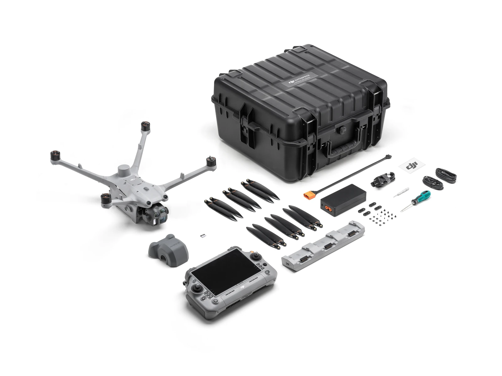
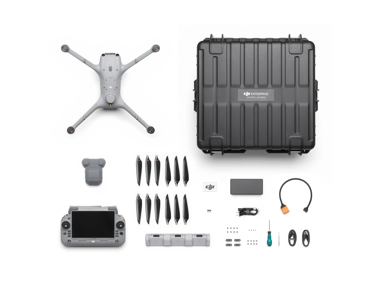
- DJI Matrice 4D Drone × 1
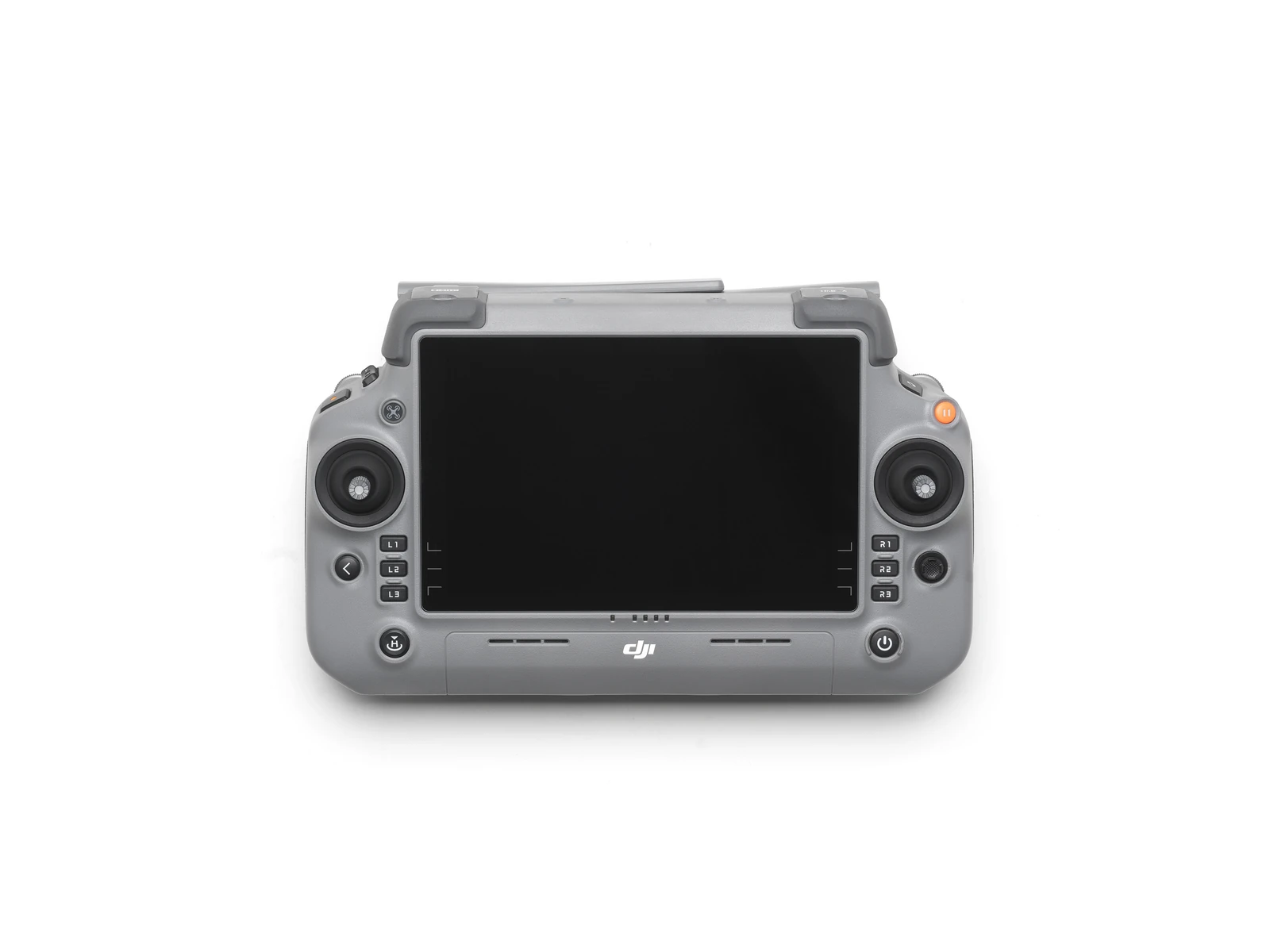
- DJI RC Plus 2 Enterprise Edition × 1
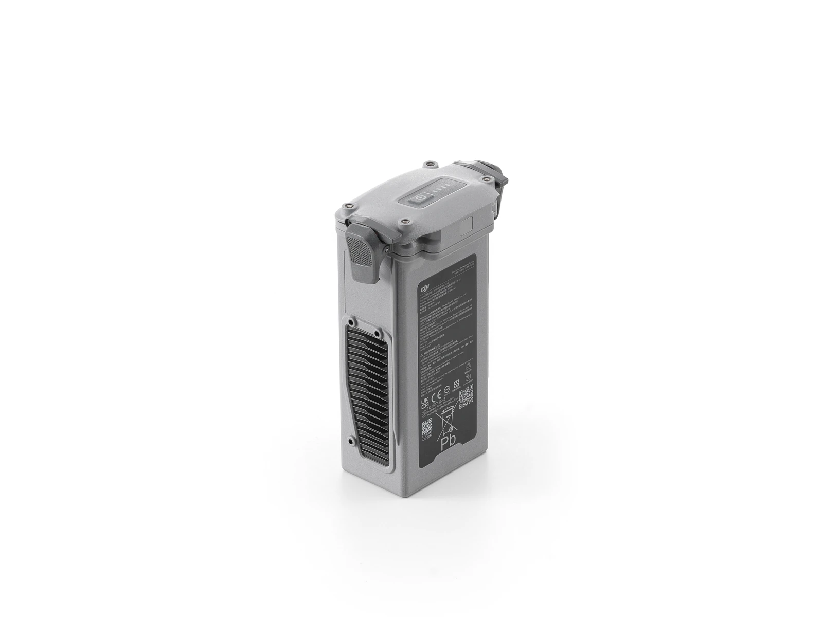
- DJI Matrice 4D Series Battery × 1
- WB37 RC Plus 2 Battery × 1
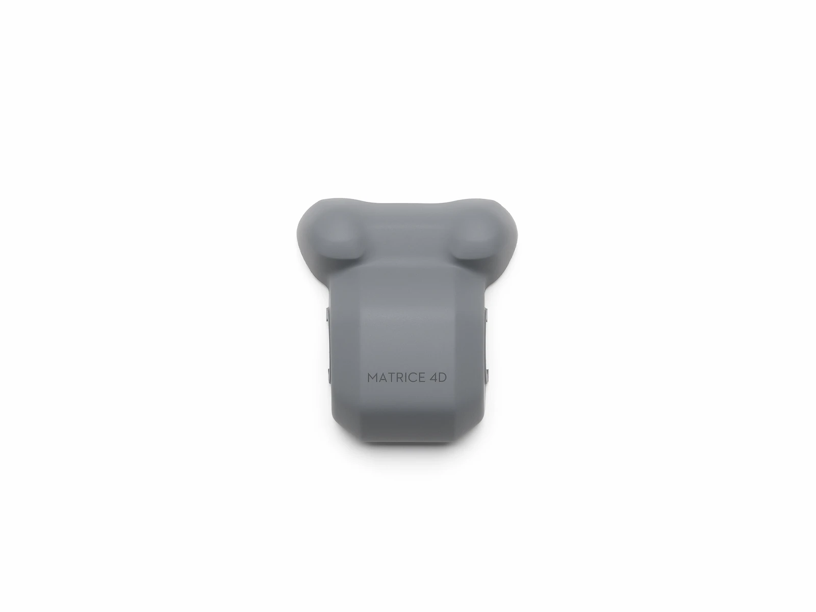
- Matrice 4D Gimbal Protector × 1
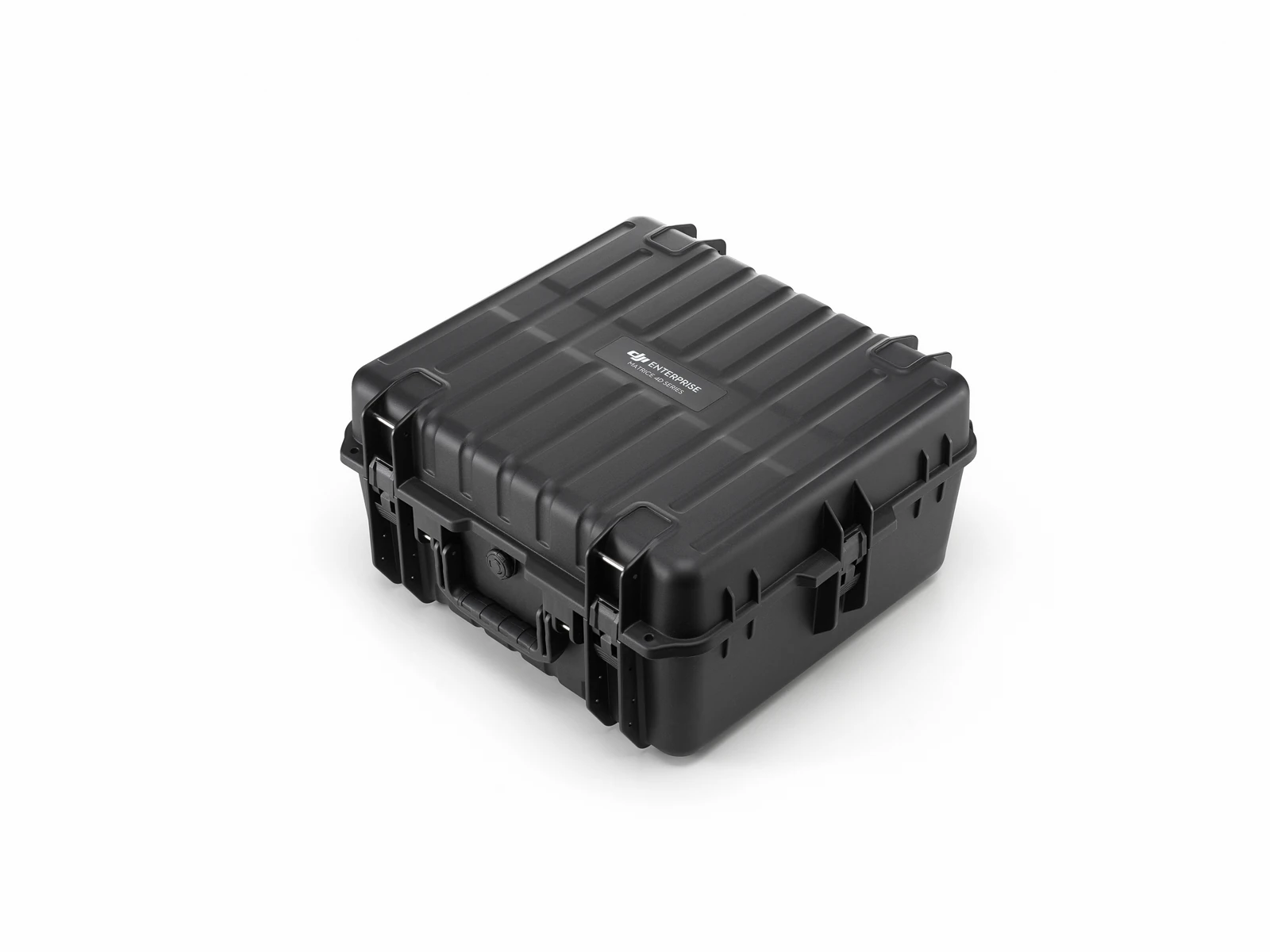
- Carrying Case × 1
- 240W Power Adapter × 1
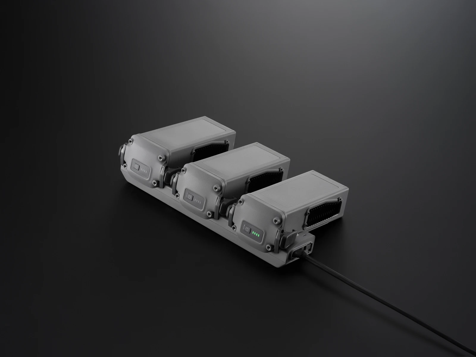
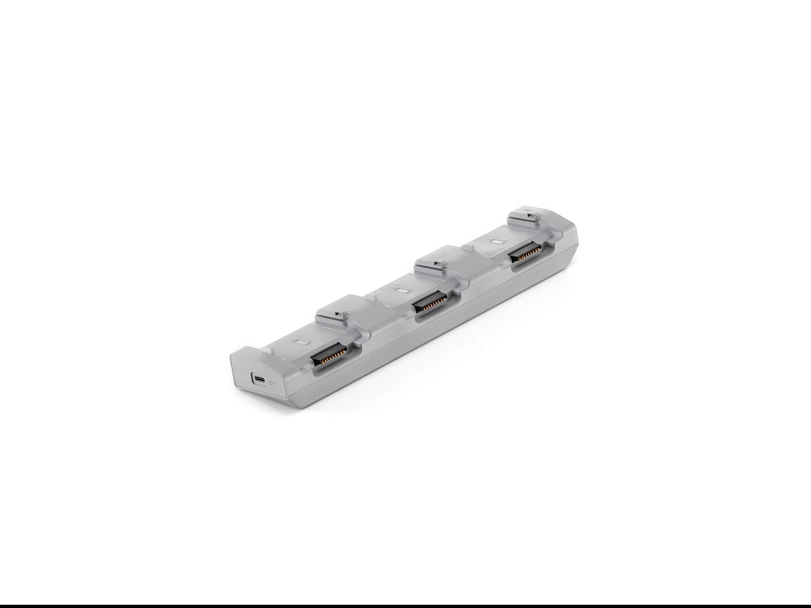
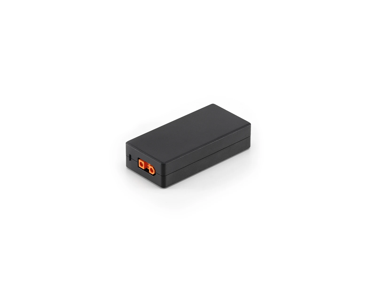
- 240W Charging Hub × 1
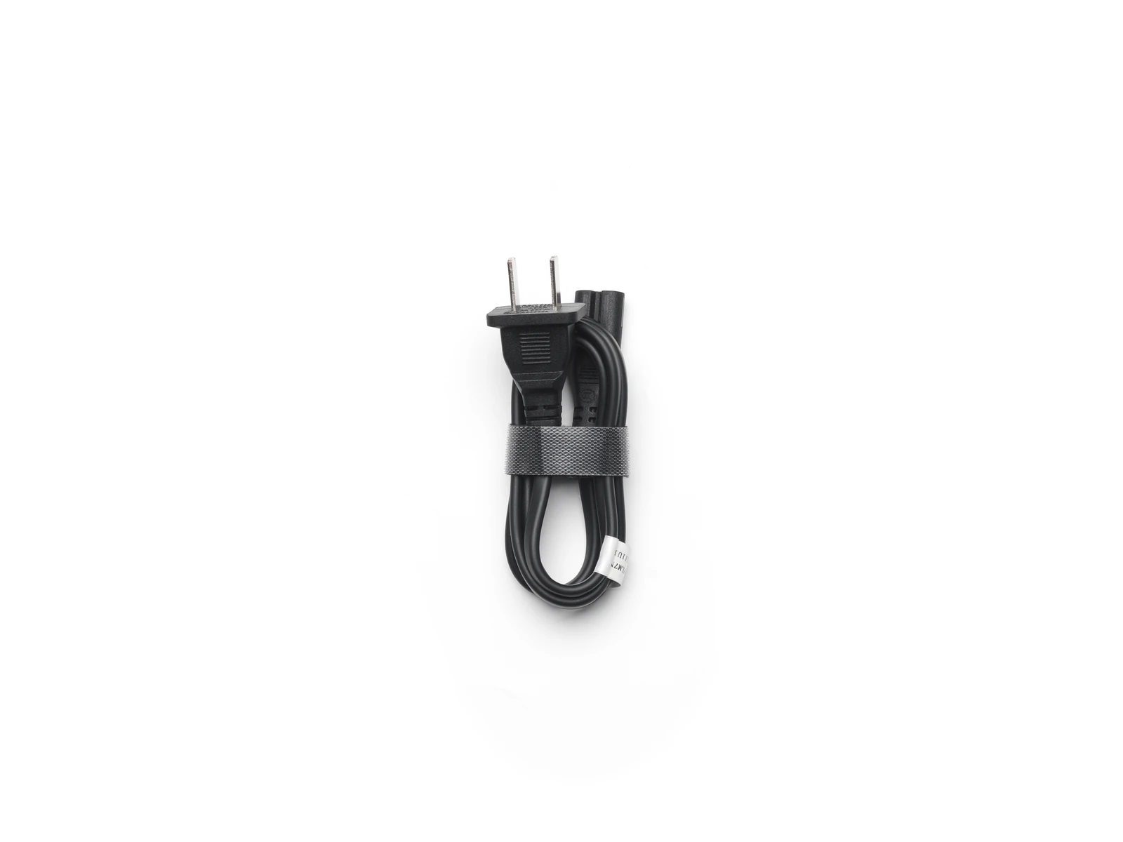
- AC Cable × 1
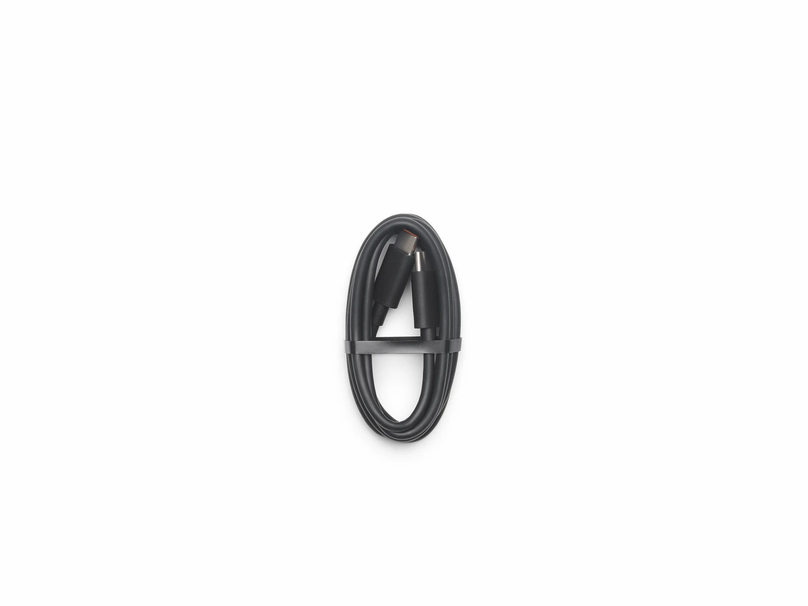
- USB-C to USB-C Cable × 1
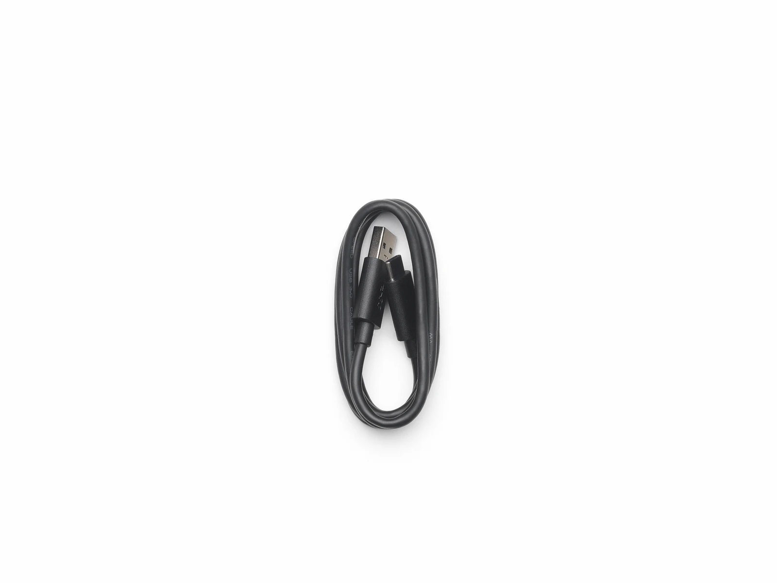
- USB-A to USB-C Cable × 1
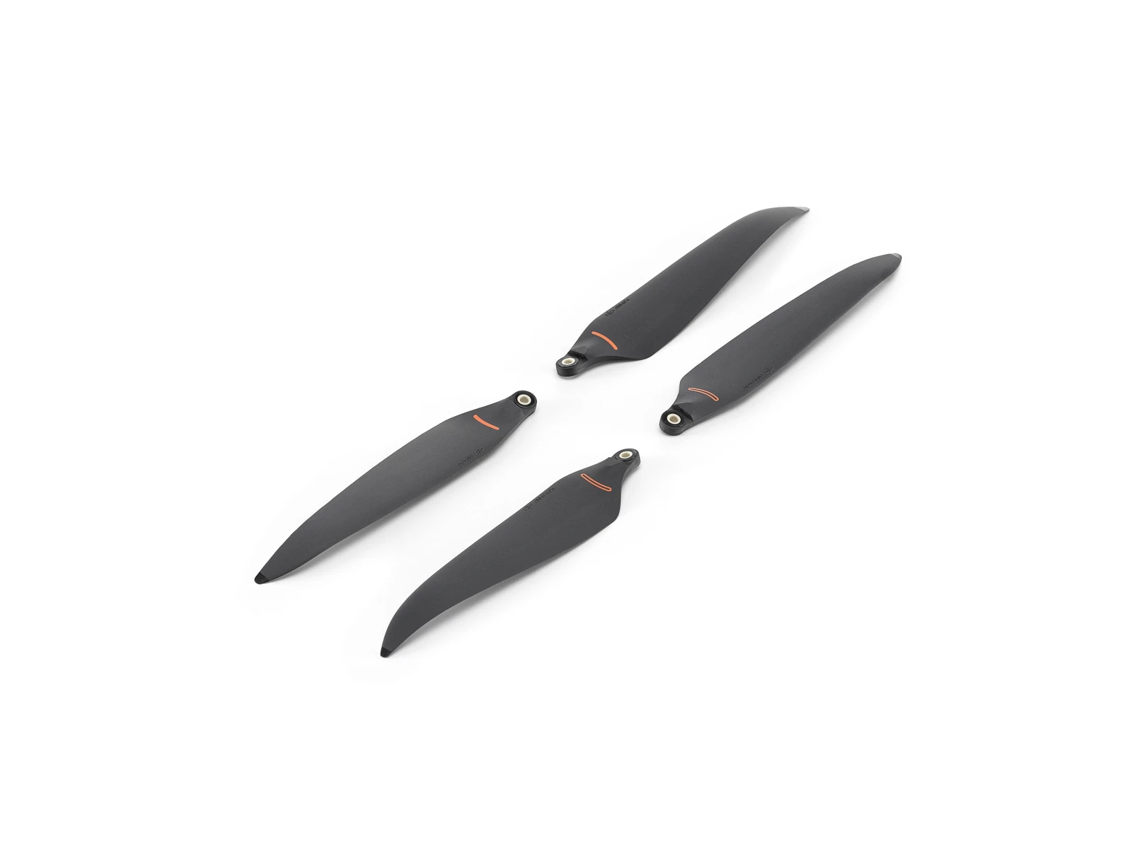
- Low-Noise Anti-Ice Propeller Pair × 3
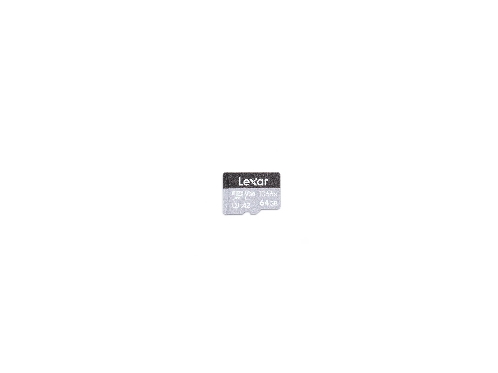
- 64GB microSD Card × 1
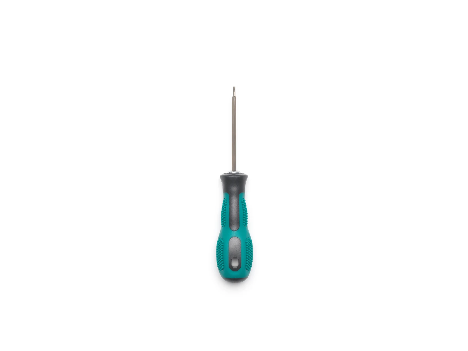
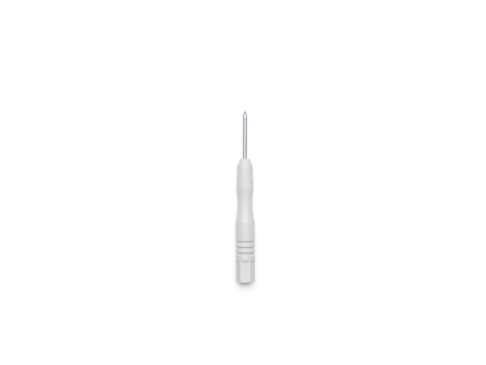
- Screwdriver × 1
- Several Propeller Mounting Screws × 1
- DJI Care Enterprise Plus (DJI Matrice 4D) × 1
Technical data
Specifications.
| Flight & physical | |
|---|---|
| Max flight time | 54 min |
| Max hover time | 47 min |
| Takeoff weight | 2090 g |
| Ingress protection | IP55 |
| Max wind resistance | 12 m/s |
| Operating temperature | -20 to 50 °C |
| Positioning | |
| Hovering accuracy (RTK, H / V) | ±0.1 / ±0.1 m |
| Sensing & safety | |
| Laser range finder | 1800 m |
| Imaging | |
| Wide camera sensor | 4/3 CMOS |
| Wide camera resolution | 20 MP |
| Wide camera lens | 84° FOV, f/2.8–f/11 |
| Medium tele camera | 1/1.3-inch, 48 MP, 35° FOV, f/2.8 |
| Telephoto camera | 1/1.5-inch, 48 MP, 15° FOV, f/2.8 |
| Transmission | |
| Max transmission distance (FCC) | 25 km |
| Max transmission distance (CE/SRRC/MIC) | 12 km |
Questions
Questions we’re asked.
The aircraft
What is the difference between the Matrice 4D and the Matrice 4TD?
The 4D pairs a 4/3-inch 20 MP wide camera with 48 MP medium tele and tele cameras and a laser rangefinder. The 4TD swaps the wide camera for a 1/1.3-inch 48 MP one and adds a thermal camera and an NIR auxiliary light.
How does the 4D Series differ from the Matrice 4 Series?
IP55 protection, a maximum flight time of 54 minutes, greater payload capacity, airborne relay, and arms that do not fold. The imaging heads are the same.
Does it map without ground control points?
Only the 4D’s 4/3-inch wide camera does. With RTK enabled the 4D maps to survey precision; fitting the 4TD with RTK does not guarantee the same.
Why do the arms move a little, and why are there gaps at their base?
Rotational dampers sit at the base of each arm to reduce vibration over long flights. A small rotation and visible gaps are the design working, not a fault. The curved propeller tips are there to reduce noise.
Can it be flown by hand?
Yes, from the DJI RC Plus 2 Enterprise, and the Matrice 4 Series controllers work too on the latest firmware. There is no dual-controller mode.
How does airborne relay work?
Link each of two aircraft to its own controller, set one as the Main Aircraft and the other as the Relay Aircraft in DJI Pilot 2, and they re-link automatically; the connection topology shows on the main page. Relay is not available while the aircraft is connected to Dock 3.
Does it work with FlightHub 2, and which SDKs?
FlightHub 2, yes. Payload SDK, Mobile SDK and Cloud API for development; DJI Pilot 2 and MSDK-built apps for control.
What is smart oblique capture?
Five-direction oblique capture in a single route, in an X pattern: the Mavic 3E needed two routes for three directions; the Zenmuse P1 also does five, in a plus pattern.

Talk to AeroIQ