
Product
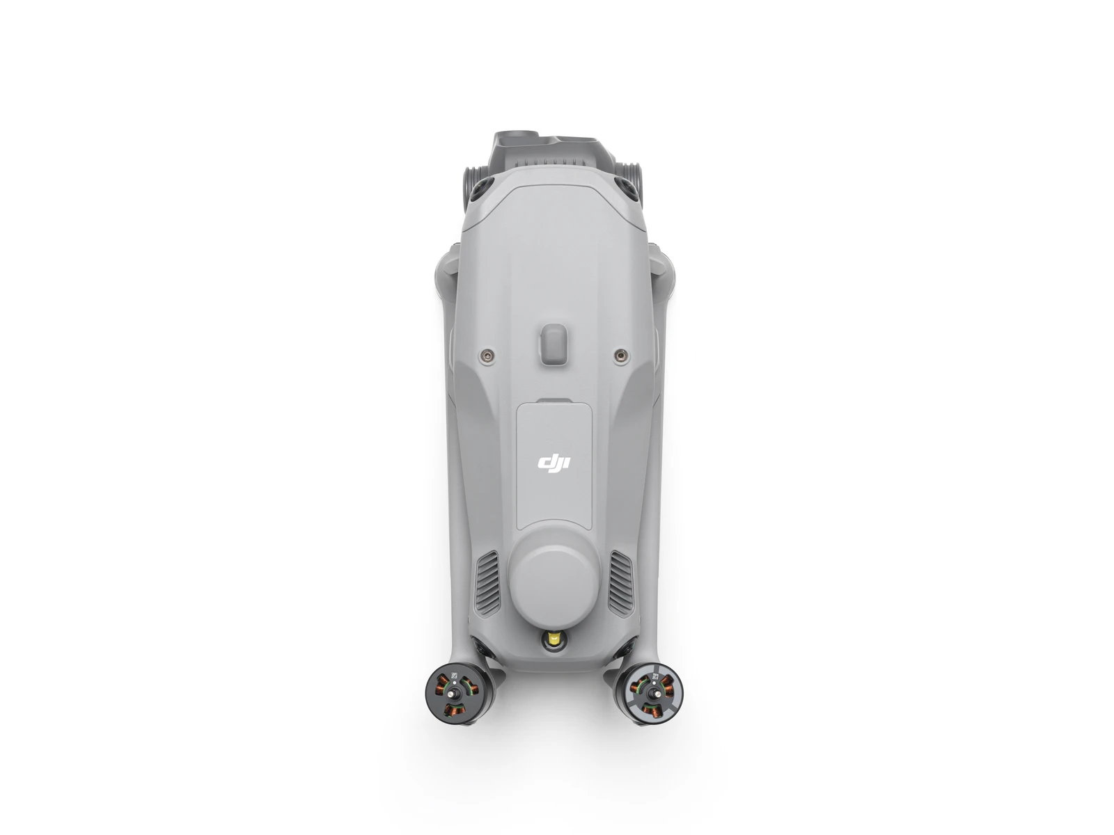
DJI Matrice 4T Basic Kit
DJI · AIQ-0063 · Matrice 4T
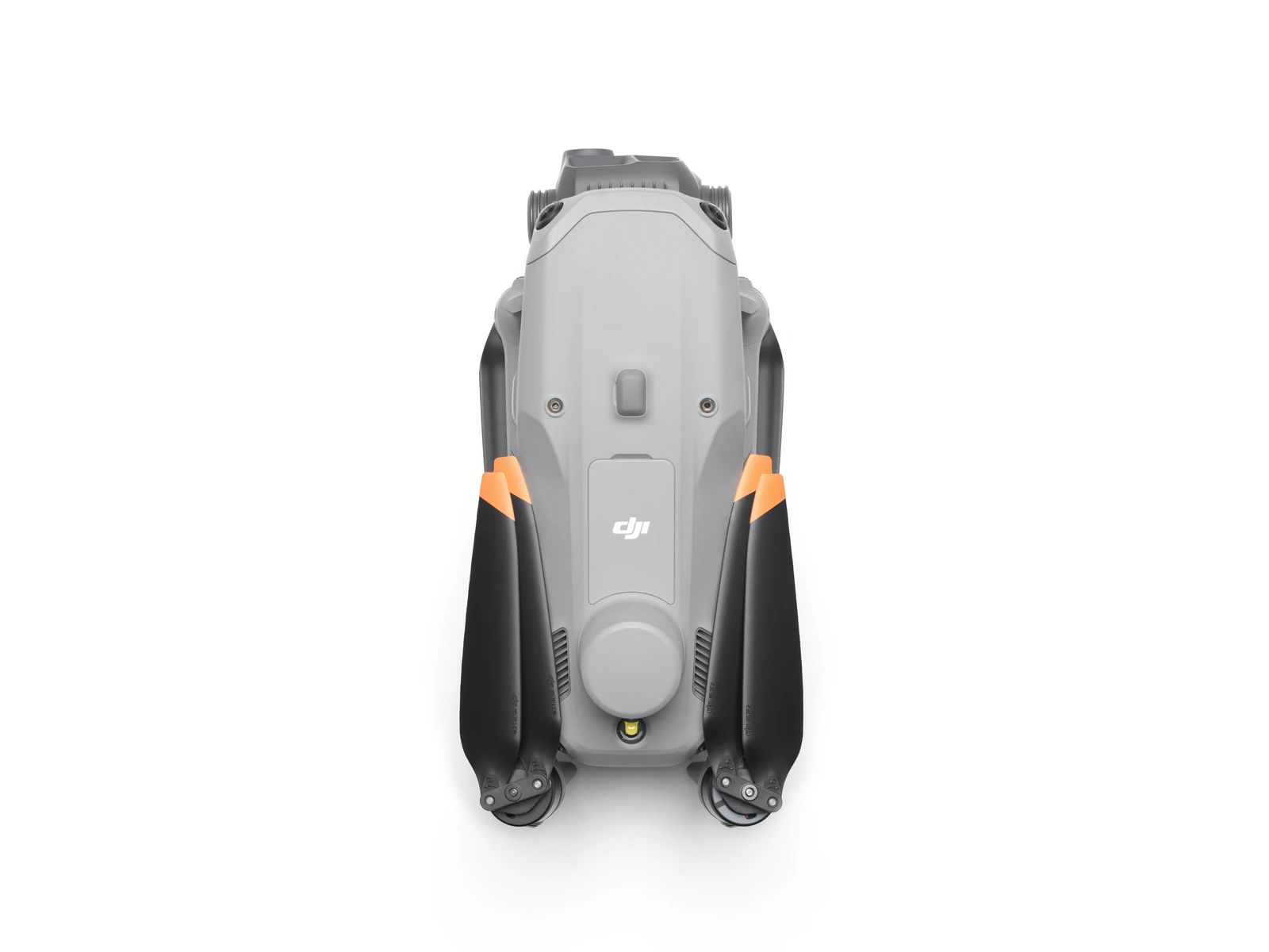
Compact enterprise drone for asset inspection, thermal imaging and situational awareness, combining wide-angle, medium telephoto, telephoto and radiometric thermal cameras with an integrated laser range finder. Long-range visual imaging, thermal data, low-light capability and intelligent flight tools support asset management, energy, utilities and infrastructure inspection workflows.
- Max flight time49 min
- Takeoff weight1219 g
- Max wind resistance12 m/s
- Operating temperature-10 to 40 °C
- RTK accuracy1 cm + 1 ppm
- Thermal camera resolution640 × 512
Overview
About this product.
The DJI Matrice 4T is a compact enterprise drone designed for professional asset inspection, thermal imaging and situational awareness. Its multi-camera system combines wide-angle, medium telephoto and telephoto cameras with a high-resolution radiometric thermal camera, providing operators with detailed visual and thermal data from a single aerial platform.
Designed for infrastructure and asset inspections, energy and utility networks and other applications where detailed imagery and temperature data are important, the Matrice 4T enables teams to assess assets, identify potential issues and capture information from a safe distance. Its combination of visual zoom, thermal imaging, low-light capability and intelligent flight functions makes it a versatile tool for inspection and asset management workflows.
Low-Light and Thermal Imaging
- Night Scene Mode: Full-Colour night vision offers three modes and two levels of enhanced noise reduction, supported by an IR Cut Filter and NIR auxiliary light for improved visibility in dark environments.
- Smart Low-Light Photo: Larger camera apertures and intelligent low-light processing improve image capture during dusk, nighttime and other challenging lighting conditions.
- NIR Auxiliary Light: Integrated NIR illumination provides a range of up to 100 metres, adding visibility in dark environments for applications such as wildlife monitoring and protection.
- High-Resolution Thermal Imaging: Infrared High-Res Mode supports resolutions of up to 1280 × 1024, while Ultra-High Resolution mode helps reveal smaller temperature variations.
- Temperature Measurement: Each Matrice 4T is calibrated for temperature accuracy and includes an onboard temperature sensor for real-time temperature readings.
- Low-Light Omnidirectional Sensing: Six high-definition low-light fisheye vision sensors improve visual positioning and obstacle detection, supporting obstacle avoidance, intelligent route adjustments and safer return-to-home performance in low-light urban environments.
Long-Range Imaging and Inspection
- Medium Tele Camera: Capture detailed medium-range imagery, including screws and cracks from around 10 metres away and readable instrument information at substations under the stated test conditions.
- 48MP Tele Camera: Capture fine details, including signage, from distances of up to 250 metres, with an IR Cut Filter supporting continued operation across day and night.
- Telephoto Stabilisation: Foreground stabilisation helps keep distant subjects steady and clearly defined when operating at 10× zoom or greater.
- Electronic Dehazing: Low, Medium and High dehazing settings help maintain image clarity in conditions affected by haze, smog or atmospheric humidity.
Flight Safety and Connectivity
- RTK, GNSS and Vision Fusion Positioning: Integrated positioning supports the extended L5 frequency band, visual return-to-home point updates, take-off in as little as 15 seconds and return-to-home capability when GNSS signals are unavailable.
- Intelligent Obstacle Guidance: With an internet-connected DJI RC Plus 2 Enterprise, terrain elevation data and detailed maps can support automatic obstacle-avoidance route planning, while five-directional vision assistance and downward sensing improve situational awareness.
- O4 Enterprise Transmission: An eight-antenna aircraft system and high-gain controller antenna provide transmission distances of up to 25 km, with download bandwidth of up to 20 MB/s.
- Optional 4G Connectivity: The Matrice 4T supports the separately sold DJI Cellular Dongle 2, allowing 4G image transmission to work alongside the aircraft's built-in antennas for additional connectivity and improved signal stability.
Intelligent Operations
- Intelligent Recognition and Tracking: Built-in intelligent models can recognise vehicles, vessels and people, while high-resolution grid photography and advanced tracking expand the aircraft's imaging capabilities.
- Laser Range Finder: Measure points, lines and areas in real time, with information able to be shared with team members through DJI Pilot QR codes or FlightHub 2.
- Observation Range Recording: DJI Pilot 2 can display the centre of the camera view and its corresponding observed area on the ground directly on the map.
- Cruise Control: Maintain a selected flight direction without continuous control-stick input, making longer-distance flights easier to manage.
- FlyTo: Automatically adjust the aircraft's route and speed according to the surrounding environment to reach a selected destination with less manual control.
- Smart Track: Automatically position and zoom on selected subjects and reacquire them if they are briefly obscured.
- Point of Interest: Fly around a designated area while continuously observing and capturing a building or subject, supporting fixed-point observation and 3D modelling tasks.
Key capabilities
- Wide-Angle Camera: 1/1.3" CMOS, 48MP, f/1.7, 24 mm equivalent focal length
- Medium Tele Camera: 1/1.3" CMOS, 48MP, f/2.8, 70 mm equivalent focal length
- Tele Camera: 1/1.5" CMOS, 48MP, f/2.8, 168 mm equivalent focal length
- Infrared Thermal Camera: 640 × 512, f/1.0, 53 mm equivalent focal length, uncooled VOx microbolometer, supports High-Res Mode
- NIR Auxiliary Light: 6° field of view, illumination distance up to 100 m
- Laser Range Finder Measurement Range: 1,800 m at 1 Hz
- Range Accuracy: ± (0.2 + 0.0015 × D) m, where D is the measurement distance
Typical applications
Asset management, energy and utility inspections, infrastructure inspection, thermal inspection, public safety, emergency response, search and rescue, and environmental monitoring.
What you get
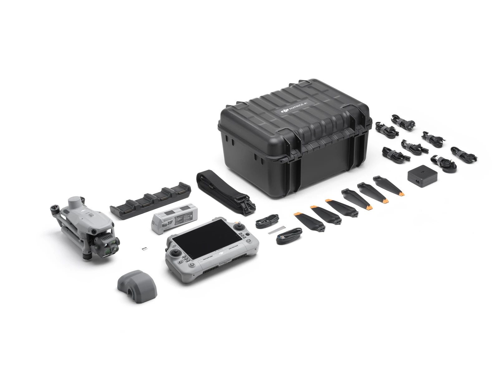
What’s in the box.
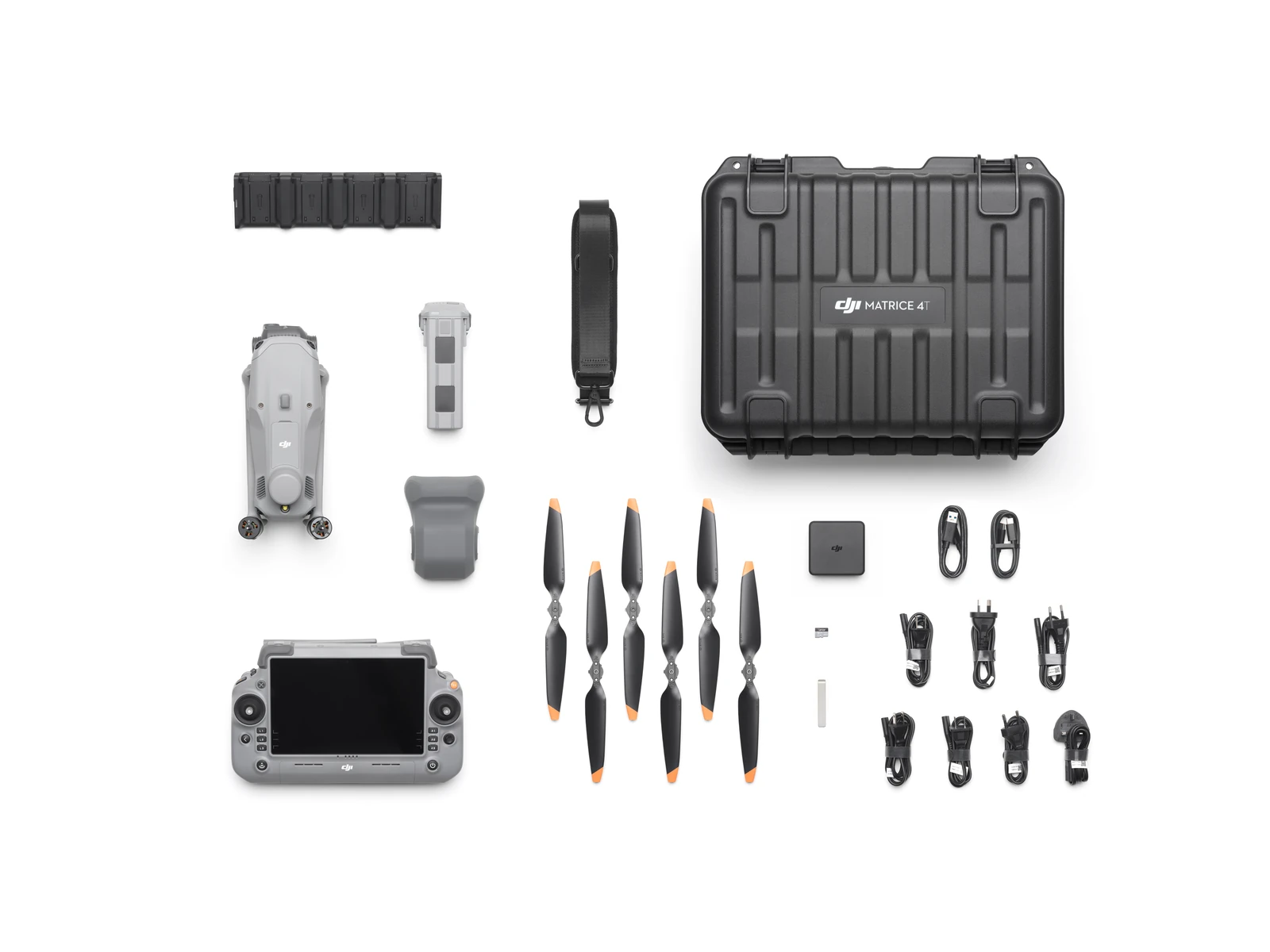
- DJI Matrice 4T × 1
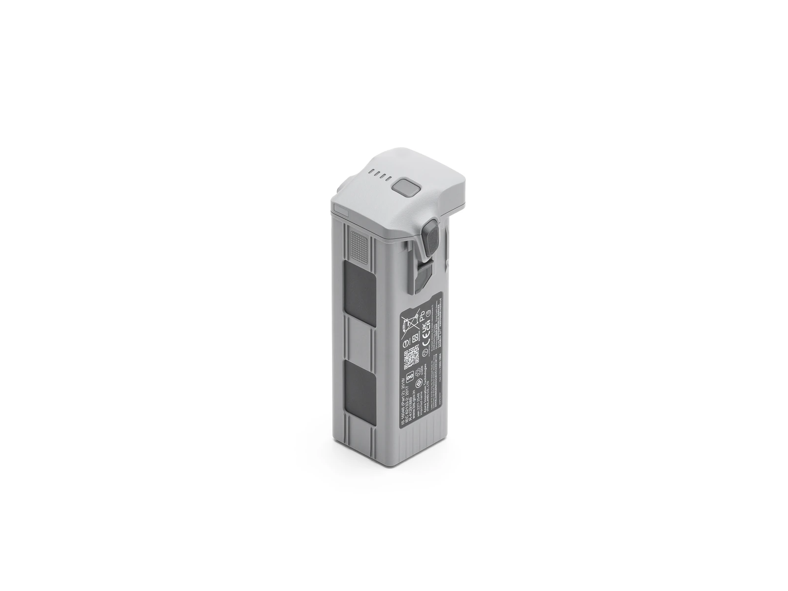
- DJI Matrice 4 Series Battery × 1
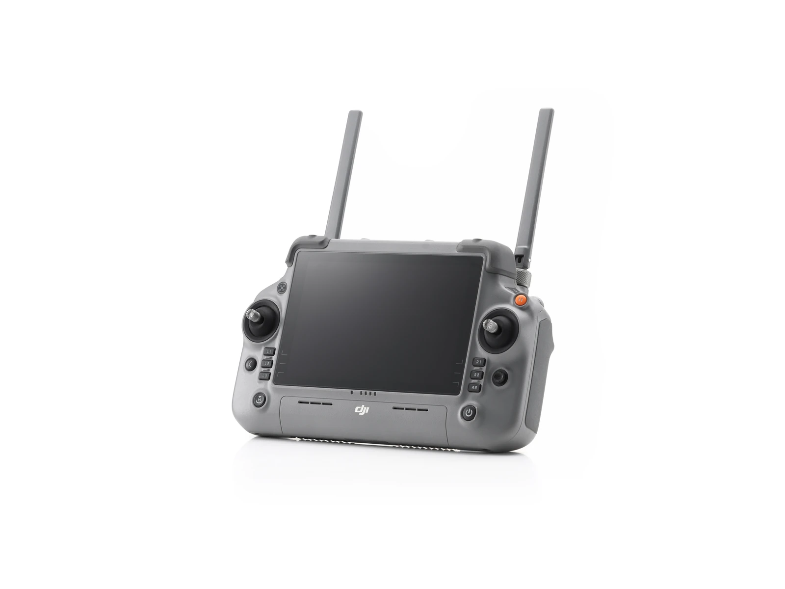
- DJI RC Plus 2 Enterprise × 1
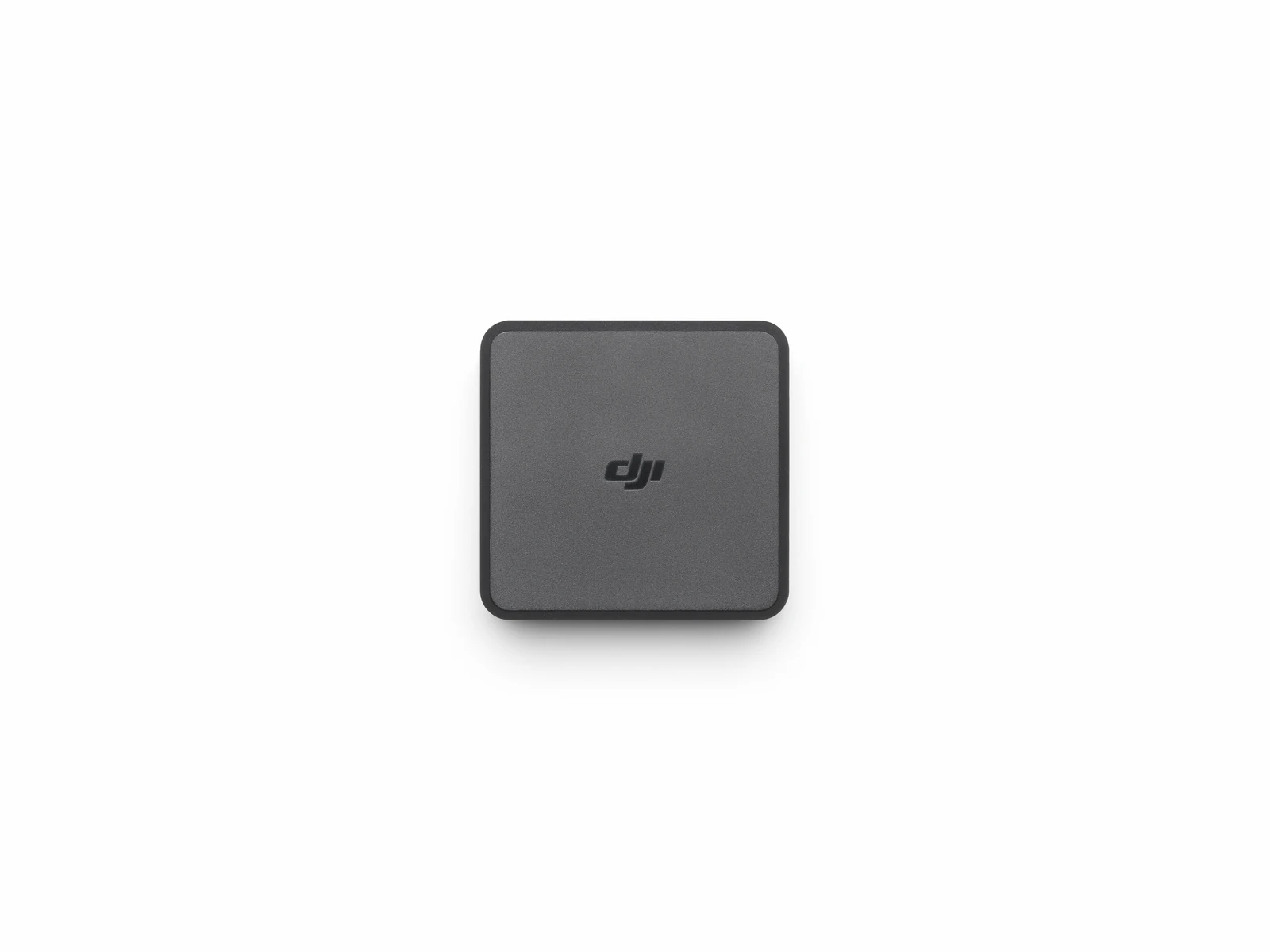
- DJI 100W USB-C Power Adapter × 1
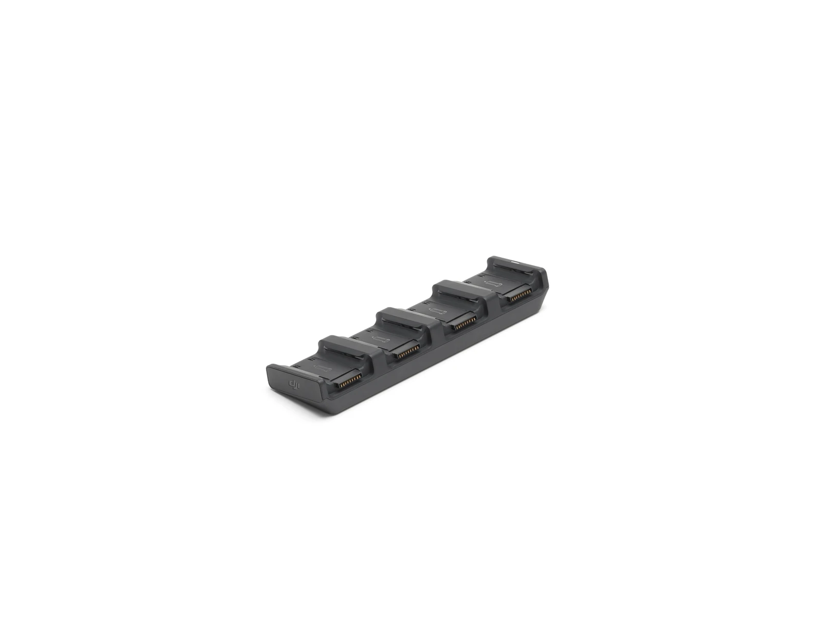
- DJI Matrice 4 Series Charging Hub × 1
- microSD Card × 1
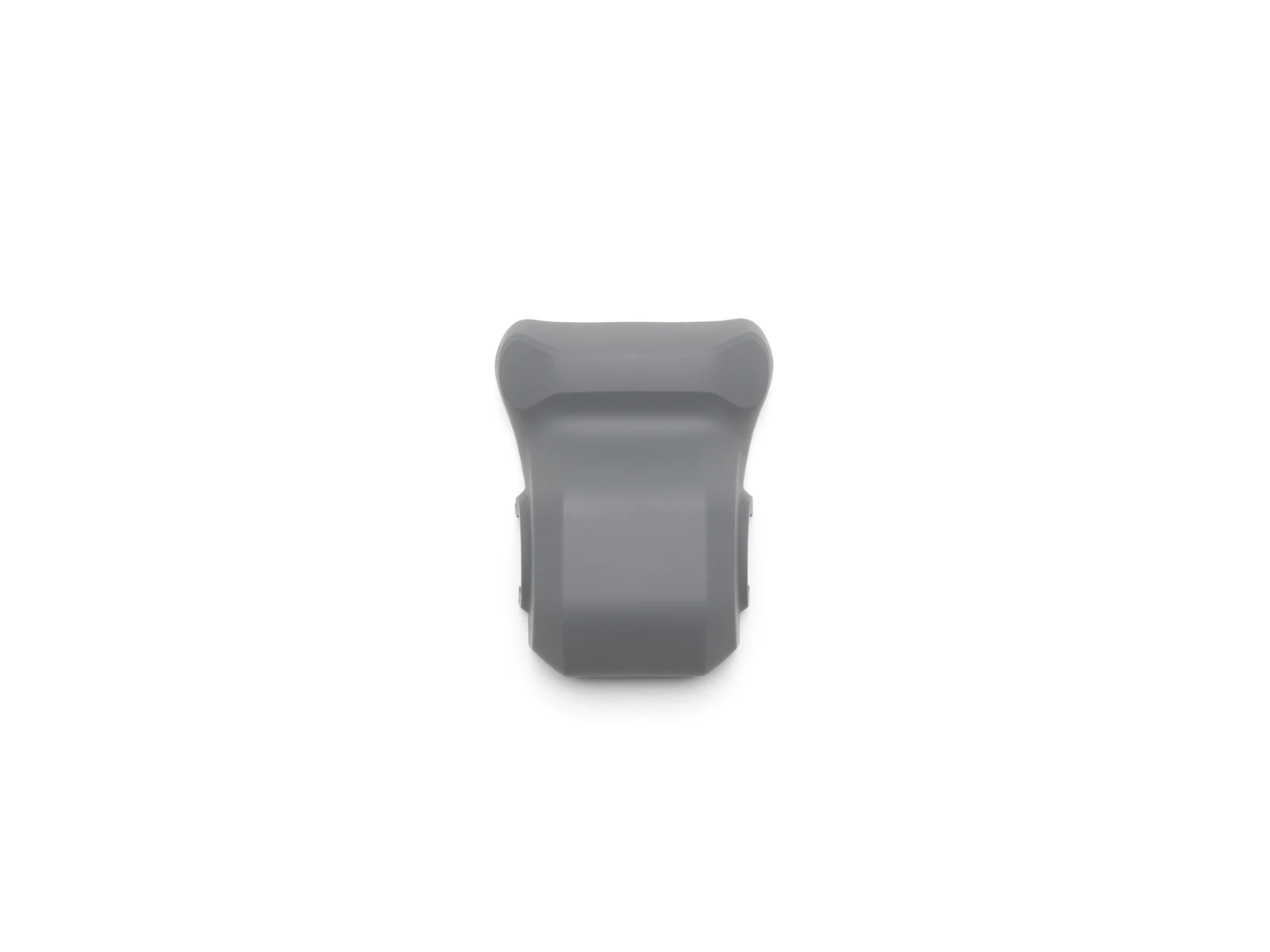
- DJI Matrice 4E Gimbal Protector × 1
- DJI Cellular Dongle 2 Pry Bar × 1
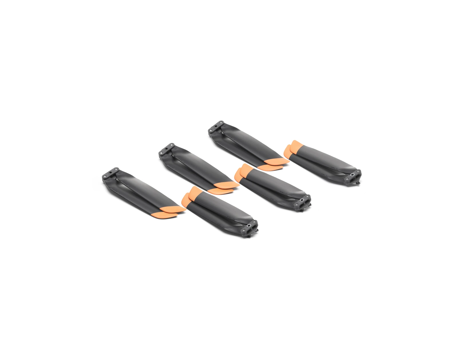
- DJI Matrice 4 Series Propellers × 3
- 100W Power Adaptor AC Cable × 1
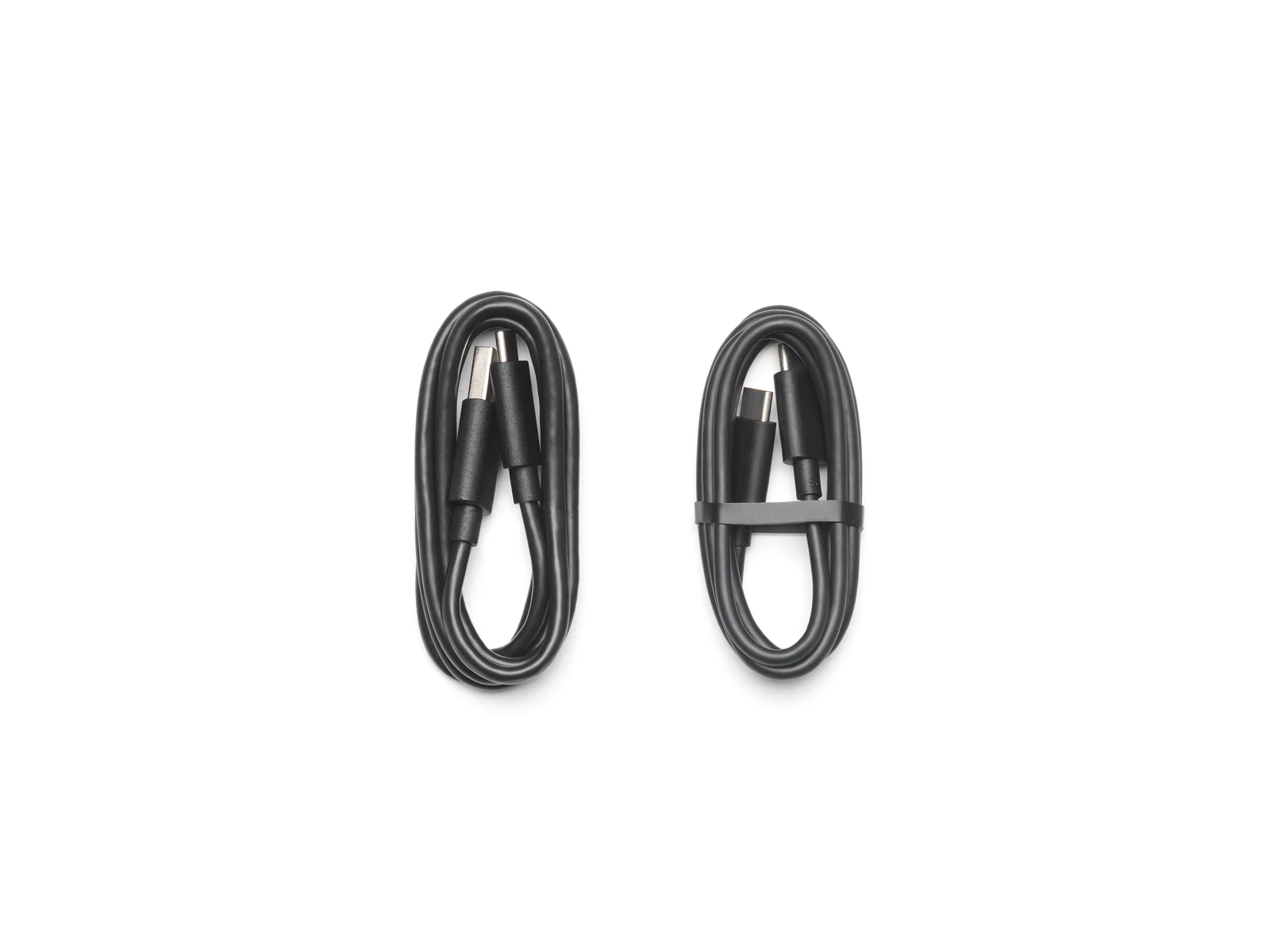
- USB-C to USB-C Data Cable × 1
- USB-A to USB-C Data Cable × 1
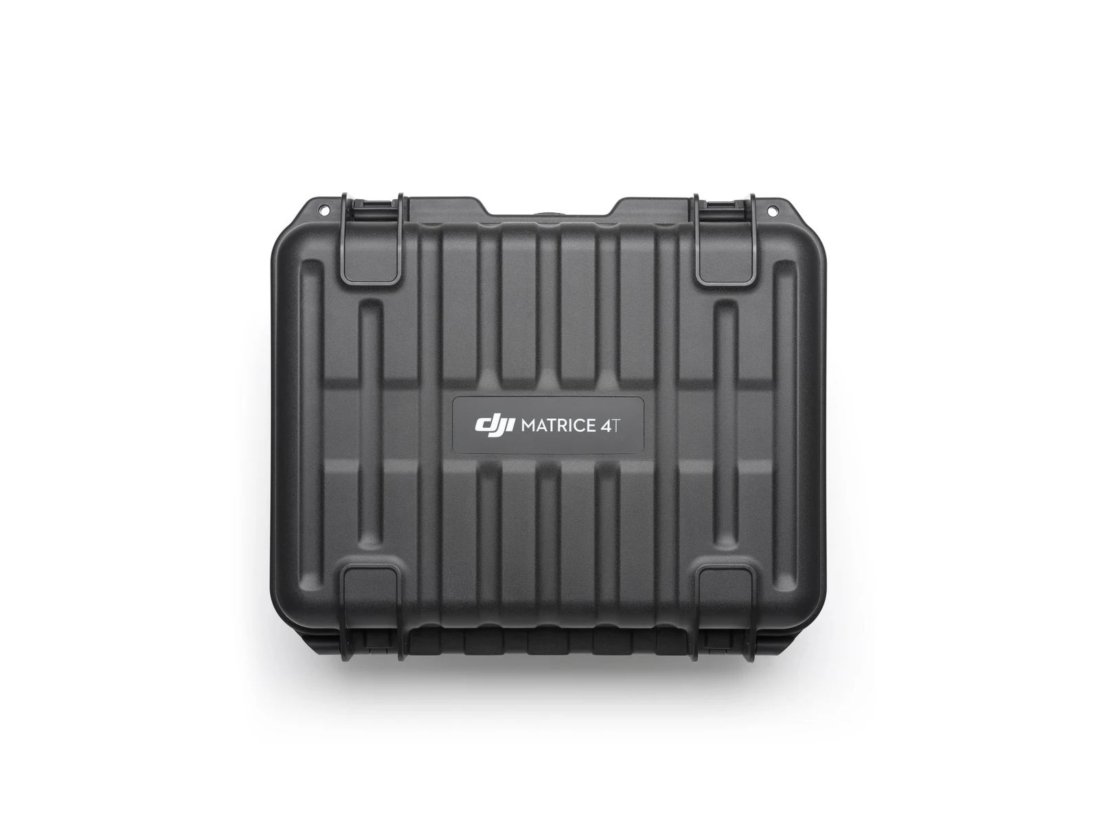
- DJI Matrice 4 Series Storage Case × 1
- DJI Care Enterprise Plus (DJI Matrice 4T) × 1
- DJI Terra Standard Edition for DJI Matrice 4T (3 Month Subscription) × 1
Technical data
Specifications.
| Flight & physical | |
|---|---|
| Max flight time (standard propellers) | 49 min |
| Max flight time (low-noise propellers) | 46 min |
| Takeoff weight | 1219 g |
| Takeoff weight (low-noise propellers) | 1229 g |
| Max wind resistance | 12 m/s |
| Operating temperature | -10 to 40 °C |
| Positioning | |
| RTK accuracy (horizontal) | 1 cm + 1 ppm |
| RTK accuracy (vertical) | 1.5 cm + 1 ppm |
| Imaging | |
| Thermal camera resolution | 640 × 512 |
| Thermal measurement (high gain) | -20 to 150 °C |
| Thermal measurement (low gain) | 0 to 550 °C |
| Wide camera | 1/1.3-inch CMOS, 48 MP |
| Medium tele camera | 1/1.3-inch CMOS, 48 MP, 70 mm equiv. |
| Telephoto camera | 1/1.5-inch CMOS, 48 MP, 168 mm equiv. |
| Sensing & safety | |
| Laser range finder | 1800 m |
| Obstacle sensing range (forward/backward) | 0.4 to 200 m |
| Transmission | |
| Max transmission distance (FCC) | 25 km |
| Max transmission distance (CE/SRRC/MIC) | 12 km |
| Battery | |
| Battery capacity | 6741 mAh |
| Battery energy | 99.5 Wh |
Questions
Questions we’re asked.
The aircraft
What is the difference between the Matrice 4E and the Matrice 4T?
The 4T carries a 1/1.3-inch 48 MP wide camera, 48 MP medium tele and tele cameras, a thermal camera, an NIR auxiliary light and a laser rangefinder. The 4E carries a 4/3-inch 20 MP wide camera with the same medium tele, tele and rangefinder.
Is it waterproof?
No. Keep it away from water. If rain starts during a flight, return and land as soon as you can, and let the aircraft dry fully inside and out before flying again.
Does it map without ground control points?
The 4E’s wide camera does; the tele cameras on either aircraft do not. With RTK enabled the 4E maps to survey precision. Fitting the 4T with RTK does not guarantee the same result.
How does Network RTK work without a 4G dongle?
Through the remote controller over Wi-Fi. The Network RTK service is bound to the controller, not the aircraft. The aircraft’s RTK module is not removable.
Which remote controllers does it use?
The DJI RC Plus 2 Enterprise is the standard controller. The RC Plus 2 Enterprise Enhanced is sold separately and adds expansion interfaces. There is no dual-controller mode.
Does it work with FlightHub 2?
Yes, including live flight control, with the aircraft and its payload controlled together.
What is smart oblique capture?
Five-direction oblique capture in a single route, in an X pattern, where the Mavic 3E needed two routes for three directions. The Zenmuse P1 also captures five directions, in a plus pattern.
Anything to know before powering on?
Unfold the arms first. Powered on while folded, the gimbal cannot complete its self-check and can collide with the arms.
Any precautions for the thermal camera?
Never point the thermal camera at the sun, lava or a laser beam: the sensor can be permanently damaged.
Which SDKs does it support, and can it be used abroad?
Payload SDK, Mobile SDK and Cloud API. The aircraft cannot be used across countries or regions. Confirm the applicable region with your dealer before purchase. A 4G enhanced transmission module is not included.

Talk to AeroIQ