
Product
DJI Terra - Flagship - 1Year
DJI · AIQ-0134
Professional 1-year licence for DJI Terra Flagship, combining advanced photogrammetry, LiDAR and multispectral processing with photorealistic 3D Gaussian Splatting and specialised electricity inspection capabilities. Designed for surveying, infrastructure, utilities, asset management and geospatial teams requiring DJI Terra's complete professional processing toolset.
- Licence term1 year
- TierFlagship
Overview
About this product.
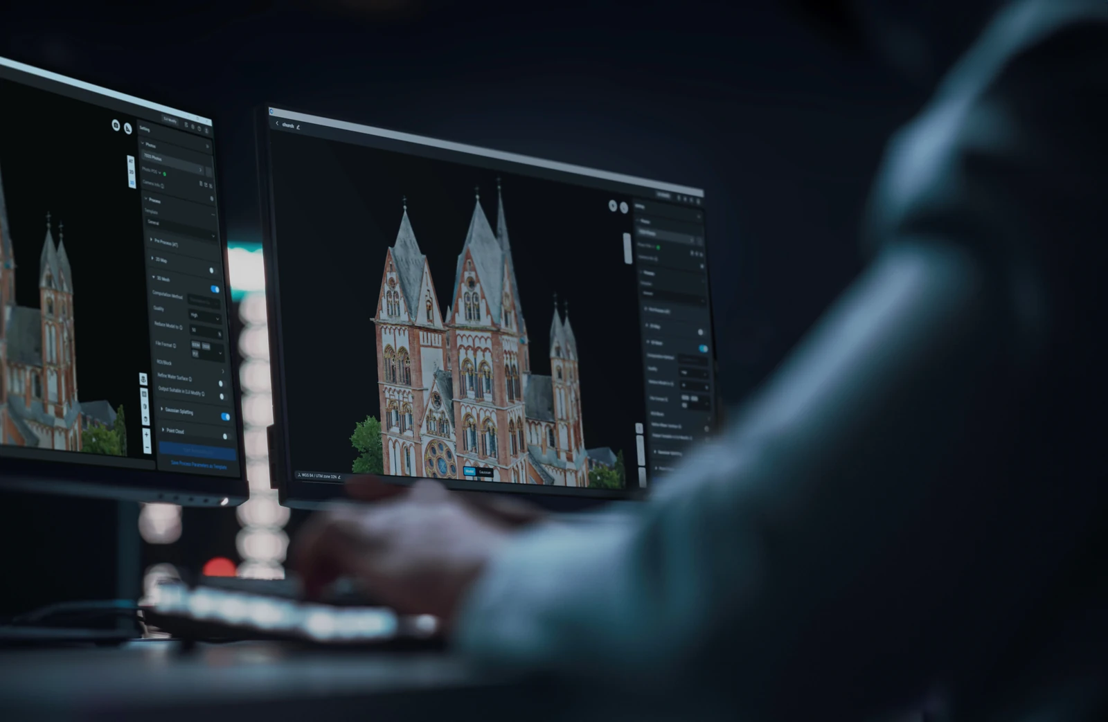
DJI Terra Flagship is DJI's most comprehensive professional desktop solution for transforming drone imagery and LiDAR data into detailed geospatial and 3D deliverables. Process visible-light imagery into orthomosaics, digital surface models, point clouds and detailed 3D mesh models, reconstruct supported DJI LiDAR datasets, create multispectral outputs and produce photorealistic 3D Gaussian Splatting models for complex environments.
The 1-year Flagship licence provides access to DJI Terra's complete professional reconstruction and analysis toolset for a 12-month term. In addition to the capabilities available with Terra Standard, Flagship adds advanced Gaussian Splatting reconstruction and the Electricity Application, supporting detailed inspection workflows for power and utility infrastructure. This makes it particularly well suited to surveying, construction, infrastructure, energy, utilities, asset management and large-scale digital modelling applications.
Photorealistic Gaussian Splatting
- Photo-Quality 3D Reconstruction: Generate highly realistic 3D Gaussian Splatting models from imagery, providing a natural representation of complex environments and physical assets.
- Complex Scene Representation: Improve visual reconstruction of challenging features including fine structures, vegetation, reflective surfaces and transparent objects that can be difficult to represent with traditional mesh modelling.
- Large-Scale 3D Modelling: Process extensive image datasets for large infrastructure sites, industrial facilities, urban environments and other complex areas.
- Flexible Industry Outputs: Export Gaussian Splatting results in formats including PLY and B3DM for integration into compatible visualisation, digital twin and third-party platforms.
- Efficient Hardware Utilisation: Produce advanced Gaussian Splatting results without requiring extremely high-end workstation hardware, helping make photorealistic reconstruction accessible across a wider range of professional workflows.
Photogrammetry
- Detailed 2D and 3D Outputs: Process visible-light imagery into orthomosaics, true digital orthophoto maps, digital surface models, point clouds and detailed 3D mesh models.
- High-Accuracy Mapping: Combine RTK positioning data from compatible DJI mapping platforms with Terra's reconstruction algorithms to support centimetre-level mapping and professional survey deliverables.
- Flexible Reconstruction Settings: Adjust 2D output resolution and 3D mesh density to balance processing requirements with the level of detail required for each project.
- Scalable Processing: Process smaller projects on a standalone workstation or use cluster computation to distribute larger reconstruction tasks across multiple compatible devices.
LiDAR Reconstruction
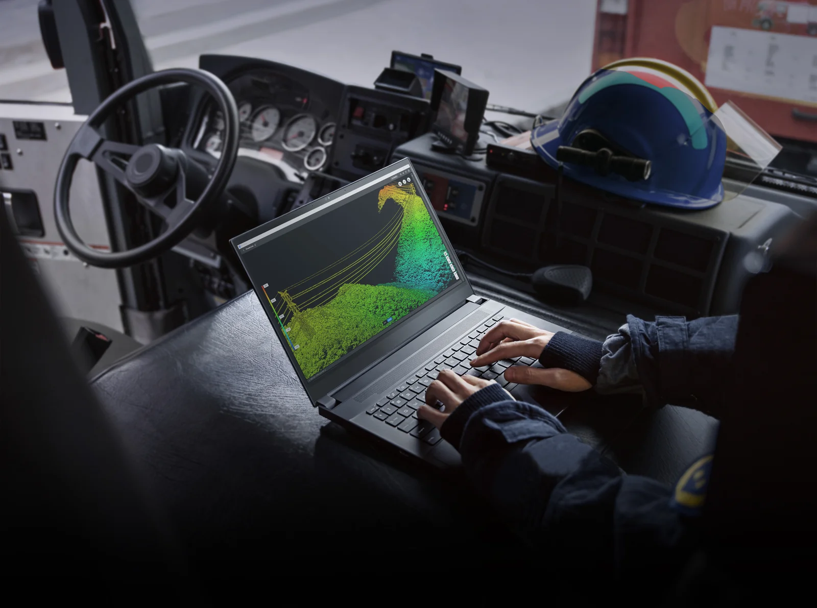
- LiDAR and Visible-Light Modelling: Process supported DJI Zenmuse LiDAR datasets into high-precision point clouds, 2D maps and 3D models, combining LiDAR geometry with visible-light imagery where required.
- Centimetre-Level Point Cloud Accuracy: RTK and PPK positioning workflows support accurate LiDAR reconstruction for surveying, engineering and infrastructure applications.
- Terrain Results: Generate terrain outputs from supported LiDAR data for downstream surveying, engineering, GIS and CAD workflows.
- Large-Scale LiDAR Processing: Process extensive point cloud datasets for large infrastructure, corridor and terrain mapping projects.
Electricity Application and Detailed Inspection
- Detailed Inspection Planning: Select inspection targets within supported 3D models or point clouds and automatically generate corresponding waypoints and flight routes for repeatable asset inspection.
- Model-Based Inspection Workflows: Plan inspection missions using locally generated DJI Terra models, reconstructed point clouds or compatible third-party point cloud data.
- Third-Party Point Cloud Support: Import compatible LAS point cloud datasets for use when planning detailed inspection missions.
- Precise Inspection Positioning: Use simulated camera views to help position waypoints and establish suitable viewing angles before missions are deployed to the aircraft.
- Utility Infrastructure Workflows: Support detailed inspection applications across power lines, transmission infrastructure and other complex electricity assets where repeatable, model-based data collection is required.
Multispectral Reconstruction for Agriculture
- Vegetation Index and Reflectance Maps: Process supported multispectral datasets into NDVI, NDRE, reflectance and other agricultural mapping outputs.
- Agricultural Prescription Maps: Generate prescription maps and optimised routes from multispectral or visible-light data to support compatible DJI Agras workflows.
Cluster Reconstruction
- Distributed Processing: Use multiple GPUs and networked devices to distribute compatible reconstruction workloads beyond the resources of a single workstation.
- Scalable Reconstruction Performance: Expand available processing capacity by adding compatible worker devices as imagery volumes and project requirements increase.
- Large Dataset Processing: Accelerate demanding reconstruction projects where high image counts or extensive survey areas would otherwise place significant demands on a single workstation.
Integrated DJI Survey Workflow
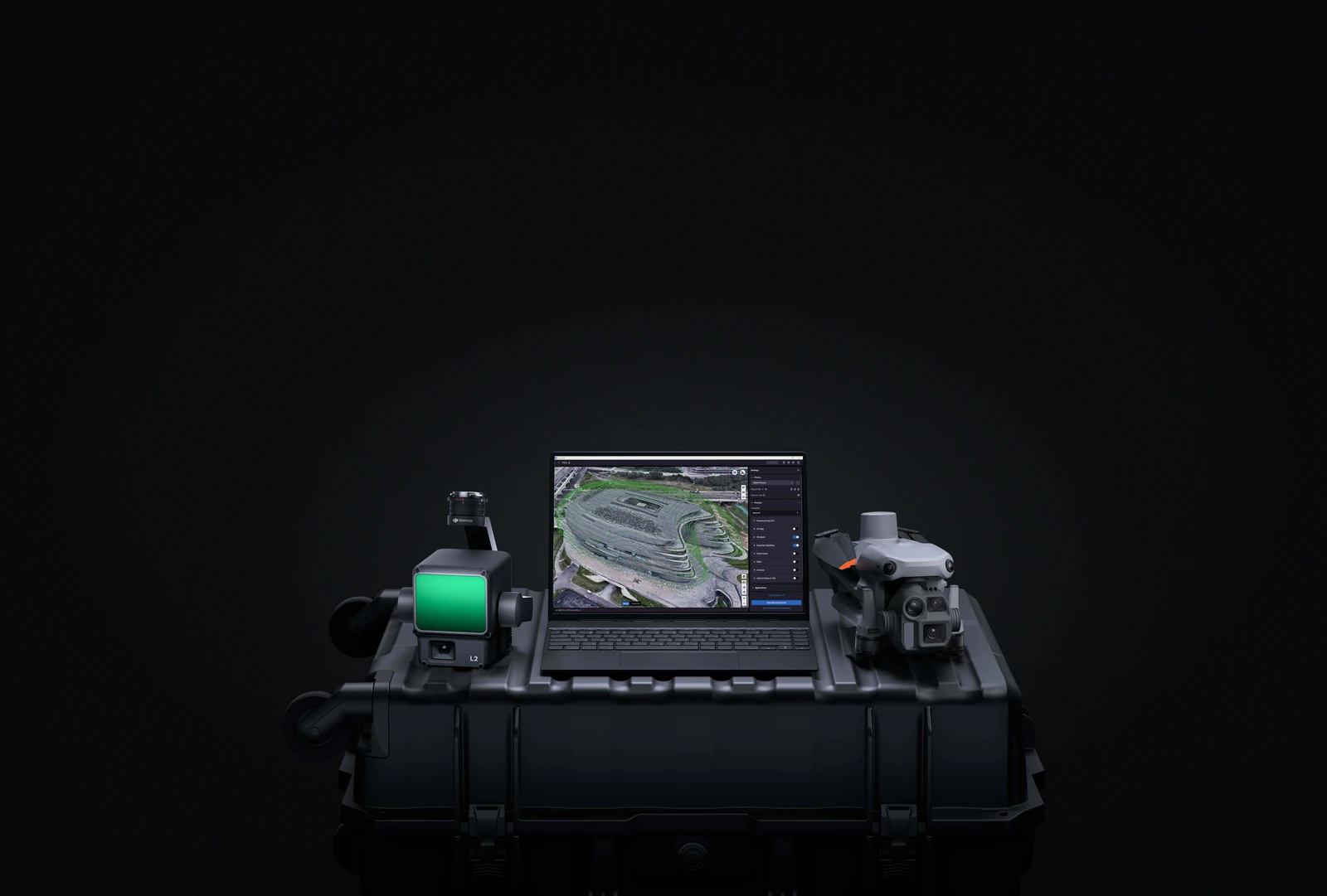
- DJI Enterprise Hardware Integration: Terra works closely with DJI mapping aircraft, payloads and positioning equipment including Matrice 4E, Matrice 400, Zenmuse P1, Zenmuse L3 and D-RTK 3.
- DJI Terra and DJI Modify Workflow: Transfer compatible reconstructed projects directly into DJI Modify for point cloud refinement, classification, model clean-up and preparation for downstream GIS or CAD workflows.
- DJI Reality Integration: Review and present mesh, point cloud and 3D Gaussian Splatting datasets within DJI Reality as part of a connected DJI mapping and digital modelling workflow.
Survey and Analysis Tools
- PPK Processing: Process positioning data for supported visible-light and LiDAR datasets where RTK corrections were unavailable or additional post-processing is required.
- Ground Control and Check Points: Import and mark control points, use semi-automatic point selection and incorporate independent check points to assess reconstruction accuracy.
- Coordinate System Support: Work with more than 8,500 built-in coordinate systems, local coordinate systems, seven-parameter transformations and imported PRJ files.
- Measurement and Annotation: Measure points, distances, areas and volumes directly within reconstructed models and add annotations for inspection, verification and reporting.
Key capabilities
- Licence: DJI Terra Flagship
- Licence Term: 1 Year / 12 Months
- Device Binding: 1 Computer
- 2D Map Reconstruction: Included
- 3D Mesh Reconstruction: Included
- LiDAR Point Cloud Reconstruction: Included
- Terrain Results: Included
- 2D Multispectral Reconstruction: Included
- Agricultural Application: Included
- Gaussian Splatting: Included
- Electricity Application: Included
- Detailed Inspection: Included
- Cluster Computation: Included
- Operating System: Windows 10 or later, 64-bit
- Minimum Memory: 32 GB RAM for standalone 3D reconstruction
- Recommended Memory: 64 GB RAM or more
- Graphics: Compatible NVIDIA GPU with at least 4 GB VRAM
Typical applications
Surveying and mapping, construction progress and earthworks, mining and volumetrics, infrastructure and asset management, power and utility inspection, LiDAR processing, terrain modelling, photorealistic 3D modelling, digital twins, agriculture and multispectral analysis.
Technical data
Specifications.
| Licence | |
|---|---|
| Licence term | 1 year |
| Tier | Flagship |

Talk to AeroIQ