
Platform hub
DJI Terra
Process drone imagery and LiDAR data with DJI Terra. Create 2D maps, 3D models, point clouds and Gaussian Splatting outputs for enterprise workflows.
Software for the DJI Terra
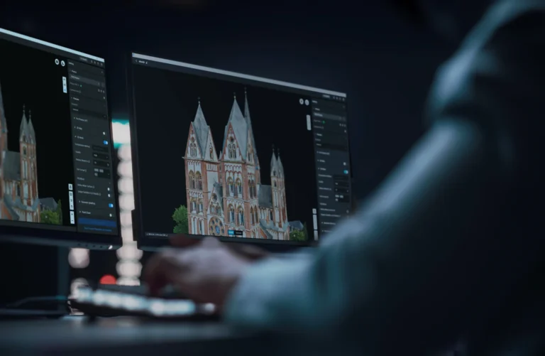
DJI Terra - Flagship - 1Year
AIQ-0134
Professional 1-year licence for DJI Terra Flagship, combining advanced photogrammetry, LiDAR and multispectral processing with photorealistic 3D Gaussian Splatting and specialised electricity inspection capabilities. Designed for surveying, infrastructure, utilities, asset management and geospatial teams requiring DJI Terra's complete professional processing toolset.
DJI Terra - Flagship - Permanent
AIQ-0135
Permanent licence for DJI Terra Flagship, combining advanced photogrammetry, LiDAR and multispectral processing with photorealistic 3D Gaussian Splatting and specialised electricity inspection capabilities. Designed for surveying, infrastructure, utilities, asset management and geospatial teams requiring ongoing access to DJI Terra's complete professional processing toolset.
DJI Terra - Standard - 1Year
AIQ-0137
Professional 1-year licence for DJI Terra, providing photogrammetry, LiDAR and multispectral processing for 2D maps, 3D mesh models, point clouds and terrain outputs. Designed for surveying, construction, infrastructure and geospatial teams that need a complete annual drone data processing workflow.
DJI Terra - Standard - Permanent
AIQ-0139
Permanent licence for DJI Terra Standard, providing professional photogrammetry, LiDAR and multispectral processing for 2D maps, 3D mesh models, point clouds and terrain outputs. Designed for surveying, construction, infrastructure and geospatial teams requiring ongoing access to DJI Terra's core professional processing capabilities.
Platform overview
Product Overview
DJI Terra is professional desktop software for turning drone imagery and LiDAR data into practical 2D and 3D deliverables. It combines photogrammetry, LiDAR point cloud processing, multispectral reconstruction and 3D Gaussian Splatting within a single platform, giving surveying, construction, infrastructure, utilities and asset-management teams a direct route from captured data to usable digital outputs. Visible-light imagery can be processed into orthomosaics, digital surface models, point clouds and detailed 3D mesh models. Data captured with compatible DJI LiDAR payloads can be reconstructed into accurate point clouds, 2D maps and 3D models, while multispectral datasets can be used to create vegetation-index and agricultural prescription maps. Terra also provides built-in PPK processing, ground control and check-point workflows, coordinate-system management, annotation and measurement tools. For projects where visual realism is the priority, Terra 5 introduces 3D Gaussian Splatting to reproduce complex structures, vegetation, transparent and reflective surfaces more naturally. Large datasets can be handled on a standalone workstation or distributed across multiple devices through cluster reconstruction, allowing the processing environment to scale with the project. DJI Terra is designed to sit within the wider DJI Enterprise workflow. It works closely with platforms and payloads including Matrice 4E, Matrice 400, Zenmuse P1, Zenmuse L3 and D-RTK 3, and can pass reconstructed data directly into DJI Modify for clean-up or DJI Reality for review, presentation and sharing.
- 3D Gaussian Splatting: Photorealistic 3D reconstruction with PLY and B3DM (3D Tiles) export.
- Photogrammetry: 2D maps, true digital orthophoto maps, digital surface models, point clouds and 3D mesh models.
- LiDAR reconstruction: High-precision point clouds with fused 2D mapping and 3D modelling outputs from supported Zenmuse LiDAR data.
- Multispectral processing: NDVI, NDRE, reflectance and agricultural prescription maps from supported multispectral datasets.
- Cluster reconstruction: Multi-GPU and multi-node processing for large imagery datasets and city-scale projects.
- Survey controls: PPK processing, GCP and check-point workflows, more than 8,500 coordinate systems, measurements and annotations.
- Connected workflow: Direct hand-off to DJI Modify and model visualisation through DJI Reality.
Key capabilities
Key Capabilities
| Capability | What it delivers |
|---|---|
| 3D Gaussian Splatting | Photorealistic 3D reconstruction with PLY and B3DM (3D Tiles) export. |
| Photogrammetry | 2D maps, true digital orthophoto maps, digital surface models, point clouds and 3D mesh models. |
| LiDAR reconstruction | High-precision point clouds with fused 2D mapping and 3D modelling outputs from supported Zenmuse LiDAR data. |
| Multispectral processing | NDVI, NDRE, reflectance and agricultural prescription maps from supported multispectral datasets. |
| Cluster reconstruction | Multi-GPU and multi-node processing for large imagery datasets and city-scale projects. |
| Survey controls | PPK processing, GCP and check-point workflows, more than 8,500 coordinate systems, measurements and annotations. |
| Connected workflow | Direct hand-off to DJI Modify and model visualisation through DJI Reality. |
Gaussian Splatting
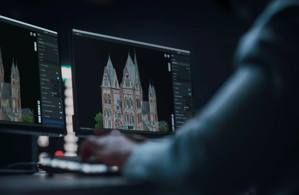
Photorealistic Gaussian Splatting.
Photogrammetry
Photogrammetry.
LiDAR
LiDAR Reconstruction.
Multispectral
Multispectral Reconstruction for Agriculture.
Cluster
Cluster Reconstruction.
Workflow
Integrated DJI Survey Workflow.
Survey tools
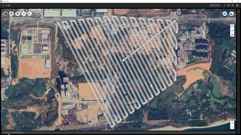
Additional Survey and Analysis Tools.
Where it is used
Where DJI Terra is used.
Surveying and mapping
Orthomosaics, surface models, point clouds, 3D meshes, coordinate-managed outputs and accuracy checks for geospatial deliverables.
Construction and AEC
Site documentation, earthwork measurement, progress records, existing-condition modelling and model data for CAD or GIS workflows.
Electricity
LiDAR and photogrammetric reconstruction of lines, substations and other complex assets, with detailed-inspection and power-line modelling functions in eligible licences.
Roads and bridges
Detailed 3D capture, LiDAR and image fusion, measurements and repeatable model-based inspection planning.
Oil and natural gas
Reality models and point clouds for facilities, corridors and asset-management workflows.
Water conservancy
Terrain, surface and infrastructure modelling to support catchment, channel and water-asset assessment.
Public safety
Rapid reconstruction and model review for incident documentation, situational assessment and post-event analysis.
Agriculture
Vegetation-index, reflectance and prescription maps generated from supported multispectral or RGB datasets.
Gaming, film and television
Photorealistic 3D Gaussian Splatting and standard 3D exports for digital environments and visual production.
Licence plans
DJI Terra Licence Plans
DJI Terra is available in Agriculture, Standard, Flagship and Education editions. Feature availability, device binding and authorisation differ by edition, so the correct licence should be selected around the required reconstruction type and deployment environment.
Editions
What each edition includes.
DJI Terra Agriculture
Included features and licence terms, as DJI publishes them.
- Device binding: 3 devices
- Authorisation mode: Online
- Validity: 1 year
- Purchase route: DJI online store
- Includes Agricultural Application
- Includes 2D Map Reconstruction Field or Fruit Tree
- Includes 2D Multispectral Reconstruction
- Not included: 2D Map Reconstruction Urban, 3D Mesh Reconstruction, LiDAR Point Cloud Reconstruction, Terrain Result, Gaussian Splatting, Electricity Application, Cluster Computation
DJI Terra Standard
Included features and licence terms, as DJI publishes them.
- Device binding: 1 device
- Authorisation mode: Online or offline
- Validity: 1 year or permanent
- Purchase route: DJI store or authorised dealer
- Includes Agricultural Application
- Includes 2D Map Reconstruction Field or Fruit Tree
- Includes 2D Map Reconstruction Urban
- Includes 2D Multispectral Reconstruction
- Includes 3D Mesh Reconstruction
- Includes LiDAR Point Cloud Reconstruction
- Includes Terrain Result
- Includes Cluster Computation
- Not included: Gaussian Splatting, Electricity Application
DJI Terra Flagship
Included features and licence terms, as DJI publishes them.
- Device binding: 1 device
- Authorisation mode: Online or offline
- Validity: 1 year or permanent
- Purchase route: DJI store or authorised dealer
- Includes Agricultural Application
- Includes 2D Map Reconstruction Field or Fruit Tree
- Includes 2D Map Reconstruction Urban
- Includes 2D Multispectral Reconstruction
- Includes 3D Mesh Reconstruction
- Includes LiDAR Point Cloud Reconstruction
- Includes Terrain Result
- Includes Gaussian Splatting
- Includes Electricity Application
- Includes Cluster Computation
DJI Terra Education
Included features and licence terms, as DJI publishes them.
- Device binding: 10 devices
- Authorisation mode: Online
- Validity: Permanent
- Purchase route: Contact DJI
- Includes Agricultural Application
- Includes 2D Map Reconstruction Field or Fruit Tree
- Includes 2D Map Reconstruction Urban
- Includes 2D Multispectral Reconstruction
- Includes 3D Mesh Reconstruction
- Includes LiDAR Point Cloud Reconstruction
- Includes Terrain Result
- Includes Gaussian Splatting
- Includes Electricity Application
- Includes Cluster Computation
Licence conditions
Education licences do not support reconstruction from more than 500 images. The Electricity Application includes detailed inspection and visible-light power-line scene modelling. Offline authorisation does not provide GEO Zone unlocking, online map loading and location search, or in-software bug reporting. See Technical Notes 15 to 19.
System requirements
What the workstation needs.
Operating system: Windows 10 or later, 64-bit. DJI Terra is not supported on macOS.
Minimum memory: 32 GB RAM for standalone 3D reconstruction.
Minimum graphics: NVIDIA graphics card with at least 4 GB VRAM and compute capability 6.1 or later. DJI recommends overall performance no lower than a GeForce GTX 1050 Ti for the Terra 5 baseline.
Recommended memory: 64 GB RAM or more.
Recommended graphics: NVIDIA 2070-class graphics performance or higher for general 3D reconstruction.
Gaussian Splatting driver: NVIDIA driver version 522.25 or later is recommended.
Additional image capacity: Where other configuration requirements are met, DJI states that each additional 10 GB of free memory can support approximately 4,000 more images in standalone reconstruction.
GPU compatibility: NVIDIA graphics are required. DJI Terra is not compatible with AMD graphics cards or other non-NVIDIA GPUs.
Hardware influences processing capacity and speed, but DJI states that different qualifying hardware configurations do not change the reconstruction result itself. Terra can use substantial CPU, RAM and GPU resources during processing, so other GPU-intensive applications should be closed while reconstruction is running.
Outputs
Outputs and interoperability.
2D reconstruction
Orthomosaic or 2D map, TDOM, DSM
- GeoTIFF outputs including result.tif and dsm.tif where applicable
3D reconstruction
Mesh models and point clouds
- OSGB, OBJ, PLY, FBX, S3MB, I3S, LAS and PCD, depending on reconstruction type
Gaussian Splatting
Photorealistic 3DGS model
- PLY and B3DM (3D Tiles)
Aerial triangulation
Aerotriangulation result
- XML
Multispectral
Vegetation-index and reflectance maps
- Outputs include NDVI and NDRE map products
Downstream workflow
Model clean-up, visualisation and third-party use
- DJI Modify, DJI Reality, GIS, CAD and compatible 3D applications
Technical notes
Notes and test conditions
- 1. For datasets containing more than 10,000 images at High reconstruction quality, DJI measured a 100% efficiency improvement over Terra's traditional mesh reconstruction. The test used 14,021 Zenmuse P1 images on a workstation with an Intel Core i9-12900K, NVIDIA GeForce RTX 3080 Ti and 128 GB RAM. Actual performance varies with hardware, image quality and other conditions.
- 2. The figure of approximately 500 images per hour is based on Matrice 4E imagery processed at high resolution on a high-performance Windows workstation with 64 GB RAM. Actual performance varies with hardware and image quality.
- 3. For a terrain-following mission with 70% side overlap and 80% forward overlap, DJI grouped approximately 300 Matrice 4E images into one reconstruction block. The most suitable block size can change with image resolution and scene texture.
- 4. The Gaussian Splatting scale figures are based on 20 MP imagery processed at high resolution on a high-performance Windows workstation with 128 GB RAM. Actual capacity varies with the computer and source data.
- 5. DJI Terra 5.0.0 requires 64-bit Windows 10 or later, 32 GB RAM and an NVIDIA graphics card with at least 4 GB VRAM and compute capability 6.1 or later. DJI recommends performance no lower than GeForce GTX 1050 Ti.
- 6. Standalone photogrammetry performance figures are based on high-resolution Matrice 4E reconstruction using a high-performance Windows workstation with 128 GB RAM. Actual times vary with hardware and image quality.
- 7. The referenced cluster photogrammetry performance is based on high-resolution Matrice 4E data processed on a 128 GB workstation in a cluster environment with three high-performance nodes. Actual times vary with the hardware, source images and processing conditions.
- 8. Earlier aircraft supported for model-based inspection planning include Phantom 4 RTK with the screenless remote controller, Matrice 300 RTK with Zenmuse H20 Series payloads, Mavic 2 Enterprise Advanced, Matrice 30 Series and Mavic 3 Enterprise Series.
- 9. DJI's LiDAR area estimate uses Zenmuse L2 data collected with two flights per square kilometre, producing approximately 12 GB of high-density point cloud data.
- 10. The 128 GB city-scale reference is equivalent to Zenmuse L2 data from 12 flights covering 30 square kilometres.
- 11. Large-scale LiDAR processing as described requires DJI Terra 4.0.0 or later.
- 12. The cluster memory figure of 6,000 images per 1 GB available RAM is based on top-down imagery containing GPS data, with 80% forward overlap and 70% side overlap. Capacity varies with scene complexity and image overlap.
- 13. The five-node, 30,000-image reconstruction example used Phantom 4 RTK imagery and high-resolution processing across five high-performance nodes.
- 14. Cloud-based PPK for LiDAR is only supported in network environments within Chinese Mainland.
- 15. DJI directs customers to the current DJI Terra Feature List for the full edition-by-edition capability list.
- 16. DJI Terra Education does not support reconstruction from more than 500 images.
- 17. The Electricity Application includes detailed inspection and visible-light power-line scene modelling.
- 18. Offline mode does not provide GEO Zone unlocking, online map loading and location search, or Bug Report submission.
- 19. Licence validity and permanent-use conditions are governed by the DJI Software Terms of Use.
Where it’s used
Relevant industries.
 aerial mapping
Survey & Geospatial
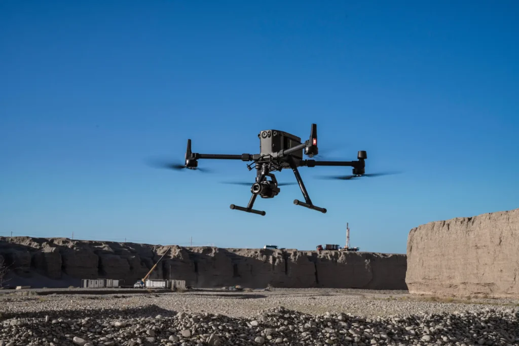
Our strongest detailed capability: survey-grade mapping, measurement and spatial deliverables.
View pathway →
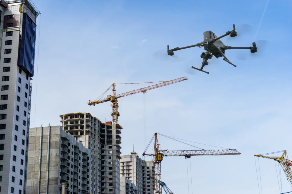 construction site survey
Construction
Site progress, volumes and as-built data captured on a repeatable schedule.
View pathway →
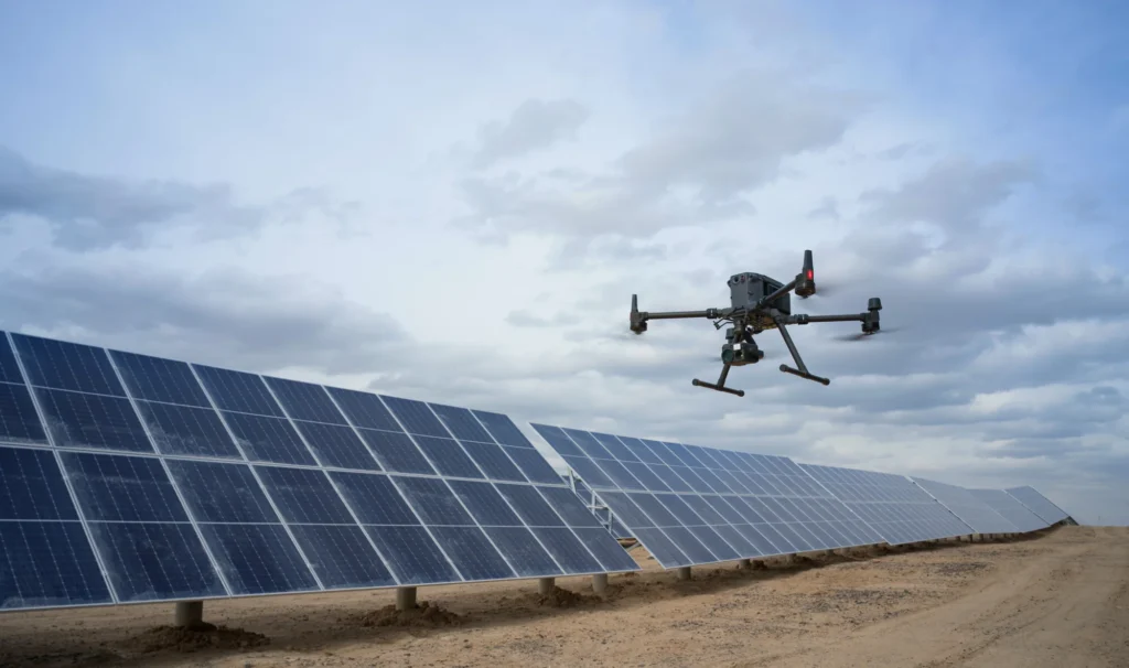 powerline inspection
Energy & Utilities
Inspection and monitoring across networks, generation and distribution infrastructure.
View pathway →
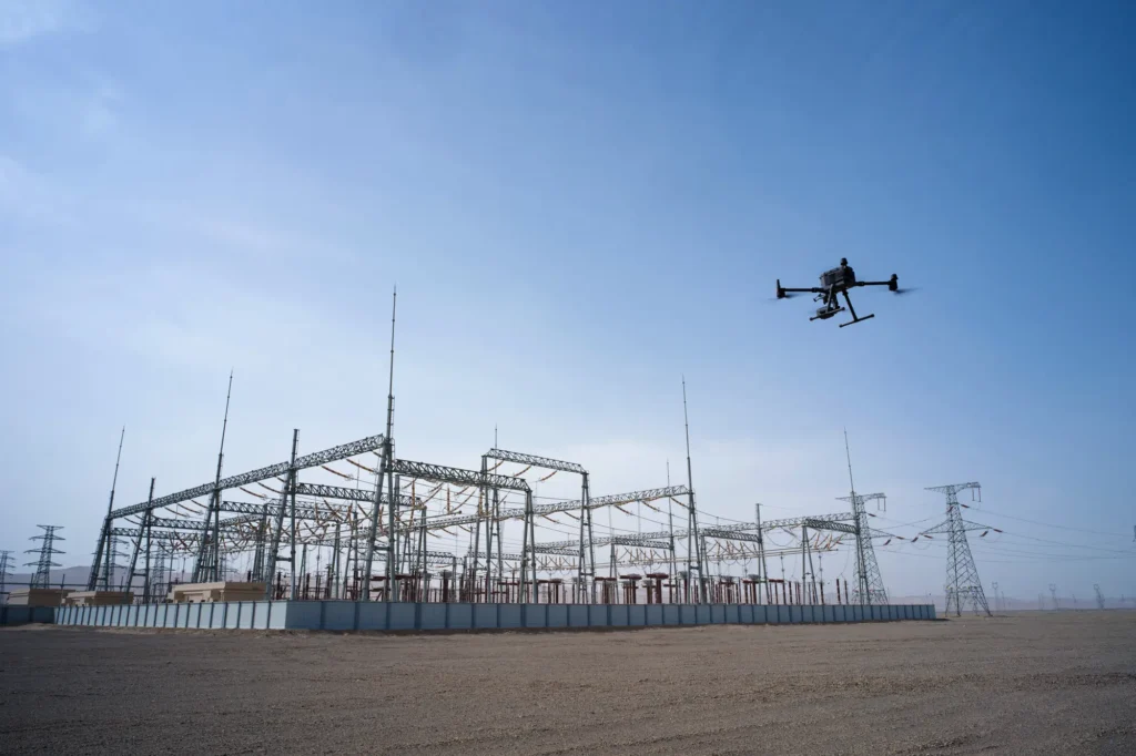 infrastructure inspection
Asset Management
Condition data and inspection workflows that keep asset records current and useful.
View pathway →
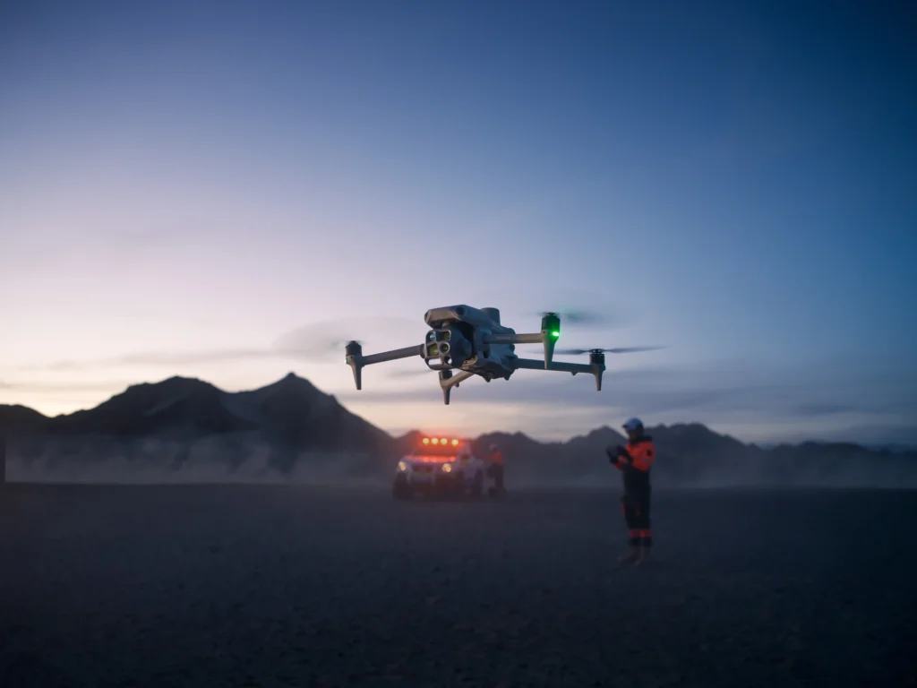 operator in field
Public Safety
Situational awareness and rapid aerial data for response and planning teams.
View pathway →

Talk to AeroIQ