
Platform hub
Matrice 400
The DJI Matrice 400 is a flagship enterprise drone platform built for long-endurance operations, flexible payload configurations and demanding professional workflows across a wide range of industries.
Drones for the Matrice 400
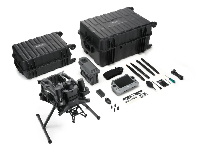
DJI Matrice 400 Basic Kit
AIQ-0070
DJI’s longest flight time ever, with a maximum 6 kg payload capacity and support for multiple payload configurations, combined in a rugged enterprise drone platform built for demanding professional operations. The Matrice 400 Basic Kit provides the aircraft, controller, charging station, one battery and carry case, giving organisations a flexible base platform that can be configured with DJI Zenmuse and third-party payloads to suit LiDAR, mapping, inspection and other enterprise workflows.
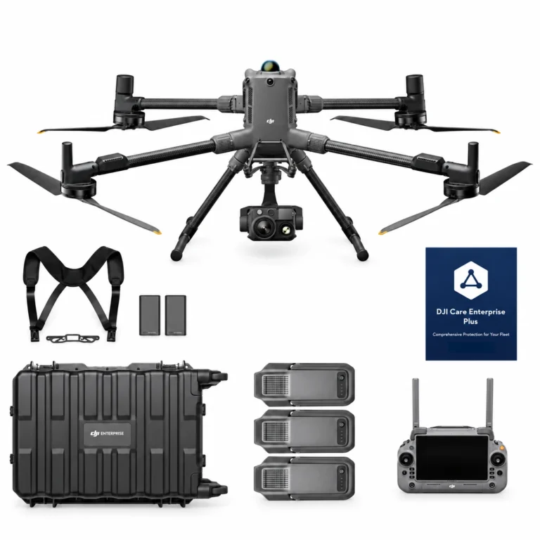
DJI Matrice 400 H30T Combo
AIQ-0102
48MP wide-angle camera, 40MP zoom camera with 34× hybrid optical zoom, 1280 × 1024 radiometric thermal imaging, NIR illumination and a laser range finder with up to 3,000 m measurement range, paired with the long-endurance DJI Matrice 400 enterprise platform. The Matrice 400 H30T Combo includes the Zenmuse H30T and three aircraft batteries, creating a powerful solution for asset inspection, energy and utilities, infrastructure, public safety and demanding day or night operations.
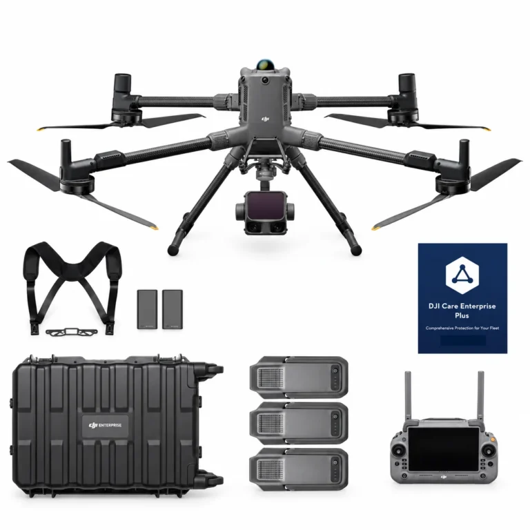
DJI Matrice 400 L3 Combo
AIQ-0100
1535 nm long-range LiDAR, dual 100MP RGB mapping cameras and a high-precision POS system, paired with the long-endurance DJI Matrice 400 enterprise platform for high-efficiency geospatial data capture. The Matrice 400 L3 Combo includes the Zenmuse L3 and three aircraft batteries, creating a complete solution for large-area surveying, corridor mapping, forestry and infrastructure projects.
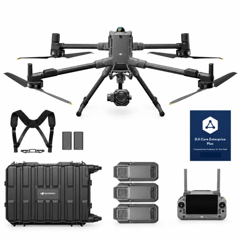
DJI Matrice 400 P1 Combo
AIQ-0101
45MP full-frame photogrammetry camera, global mechanical shutter and support for interchangeable 24 mm, 35 mm and 50 mm DJI DL lenses, paired with the long-endurance DJI Matrice 400 enterprise platform for high-accuracy aerial mapping. The Matrice 400 P1 Combo includes the Zenmuse P1 and three aircraft batteries, creating a complete solution for surveying, construction, land development, mining and large-scale photogrammetry projects.
Batteries & Charging for the Matrice 400
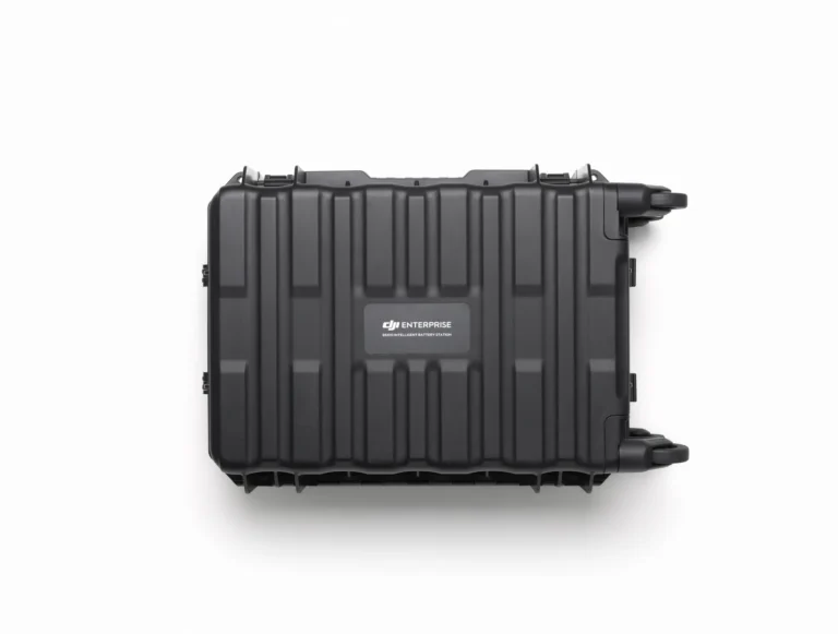
BS100 Intelligent Battery Station
AIQ-0001
The Matrice 400's battery station: three TB100 channels plus two WB37, drawing up to 2,184 W.
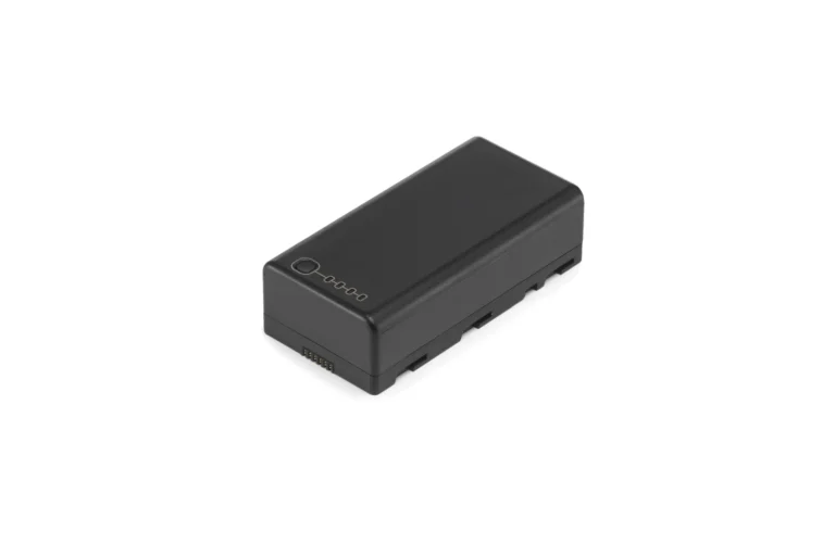
DJI WB37 Intelligent Battery
AIQ-0060
The WB37 controller battery: 4,920 mAh at 7.6 V, 37 Wh.
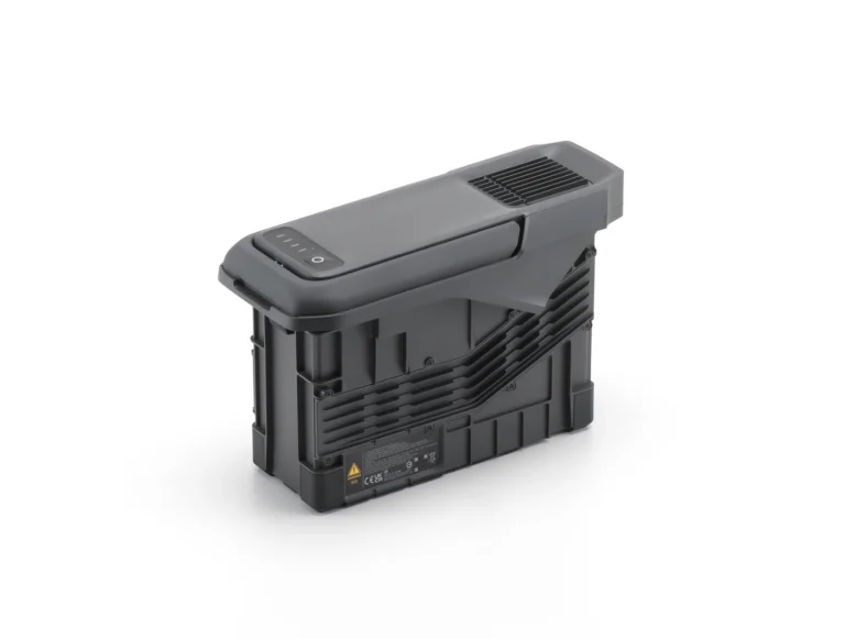
TB100 Intelligent Flight Battery
AIQ-0044
The Matrice 400's flight battery: 977 Wh, self-heating, and a 45-minute charge in fast mode.
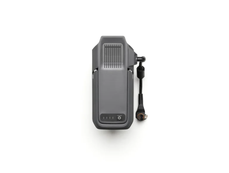
TB100C Tethered Battery
AIQ-0045
The TB100C tethered battery for the Matrice 400.
Accessories for the Matrice 400

DJI Care Enterprise Basic(H30)
AIQ-0131
Accident cover for the Zenmuse H30: 12 months, including two replacements.
DJI Care Enterprise Basic(H30T)
AIQ-0130
Accident cover for the Zenmuse H30T: 12 months, including two replacements.
DJI Care Enterprise Basic(P1)
AIQ-0133
Accident cover for the Zenmuse P1: 12 months, including two replacements.
DJI Care Enterprise Plus (DJI Matrice 400)
AIQ-0104
Accident cover for the DJI Matrice 400: 12 months of repair or replacement, with coverage shareable across devices.
DJI Care Enterprise Plus(L3)
AIQ-0132
Accident cover for the Zenmuse L3: 12 months of repair or replacement, with coverage shareable across devices.
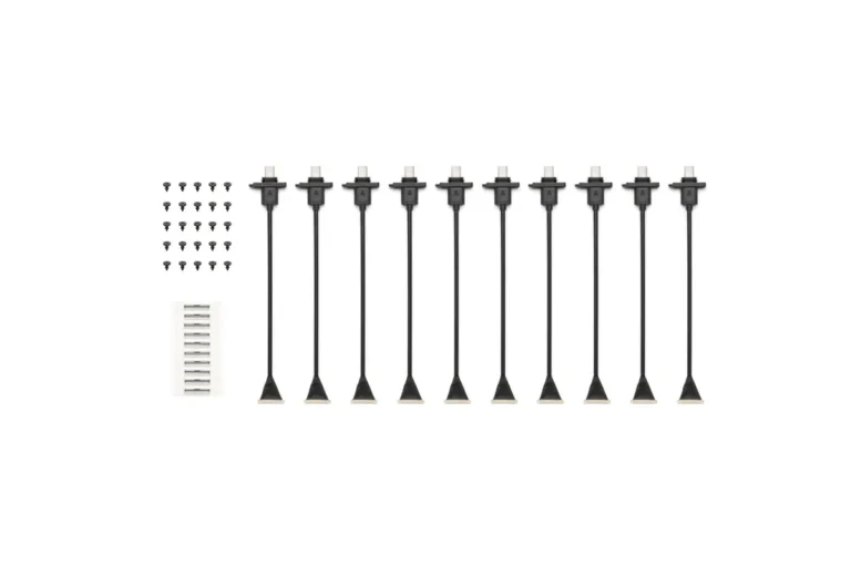
DJI E-Port V2 Coaxial Cable Kit
AIQ-0103
A coaxial cable kit for the Matrice 400 E-Port V2.
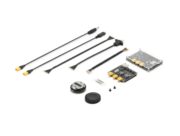
DJI E-Port V2 Development Kit
AIQ-0024
A development kit that turns the Matrice 400 E-Port V2 into standard hardware ports for custom payload work.
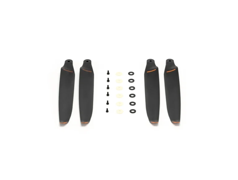
DJI Matrice 400 2510F Propellers
AIQ-0011
The 2510F propellers for the Matrice 400: a 25-inch propeller.
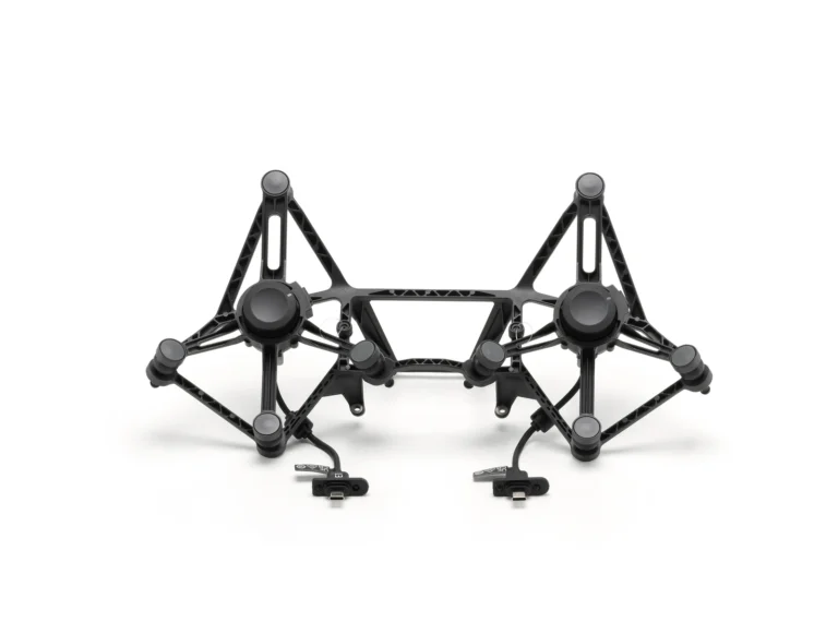
DJI Matrice 400 Dual Gimbal Connector
AIQ-0013
The dual gimbal connector for the Matrice 400: two mounts, 950 g each.
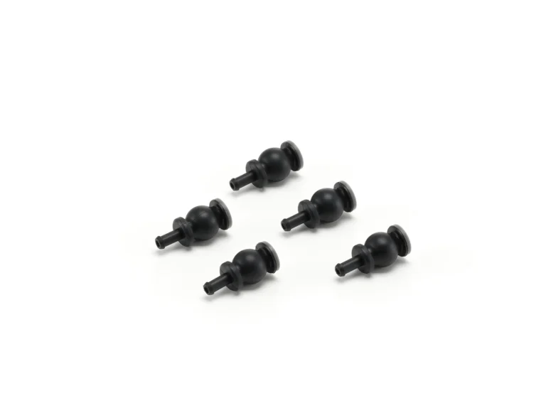
DJI Matrice 400 Gimbal Damper
AIQ-0081
The gimbal damper for the Matrice 400: rated 1000 hours, or 400 above a 950 g payload.
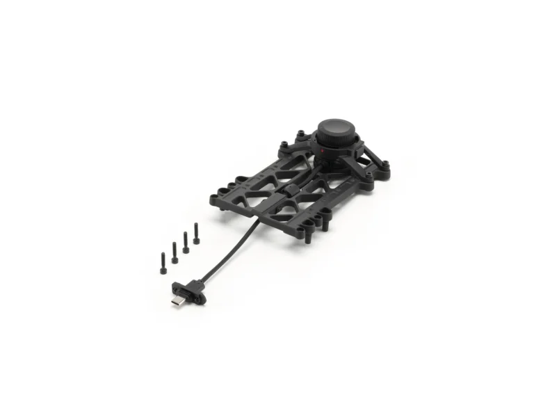
DJI Matrice 400 Third Gimbal Connector
AIQ-0015
The third gimbal connector for the Matrice 400: 3 kg on the quick-release port, 6 kg screw-locked.
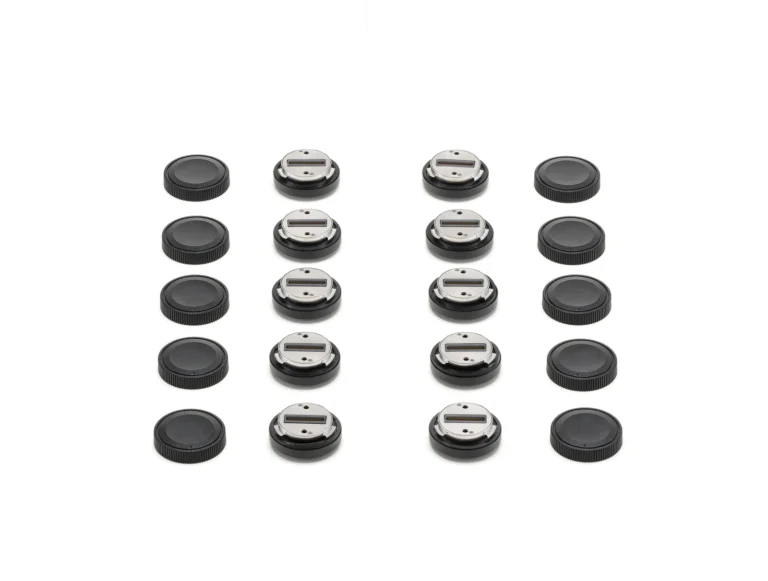
DJI SkyPort V3 Adapter Set
AIQ-0022
A SkyPort V3 adapter set for attaching custom payloads to the Matrice 400.
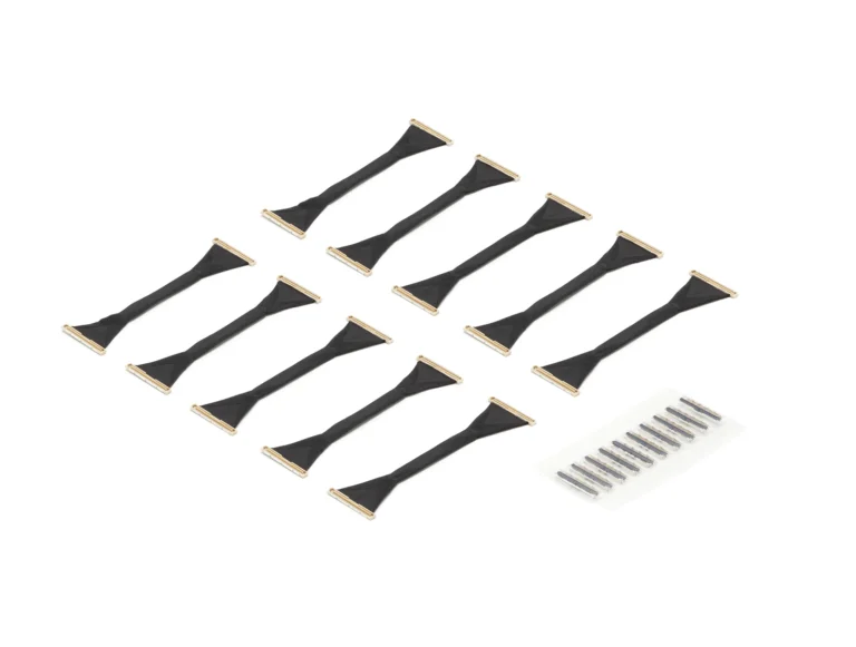
DJI SKYPORT V3 Coaxial Cable Kit
AIQ-0021
A coaxial cable kit for the SkyPort V3 interface.
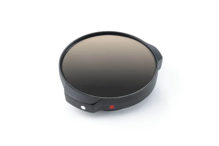
Zenmuse H30T Infrared Density Filter
AIQ-0129
The Infrared Density Filter for the Zenmuse H30T, raising thermal measurement to 1600°C.
Payloads for the Matrice 400
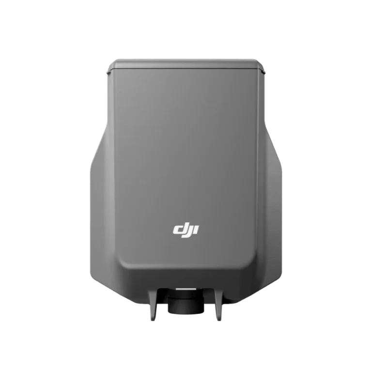
DJI AP100 Parachute
AIQ-0105
An independent parachute recovery system for the Matrice 400 with its own power and flight-termination control, deploying in under 600 ms to a descent rate below 5 m/s.
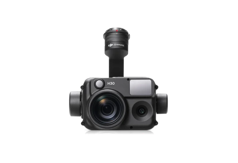
Zenmuse H30
AIQ-0089
48MP wide-angle camera, 40MP high-resolution zoom camera with 34× optical zoom, NIR illumination and laser ranging up to 3,000 m, integrated into a four-sensor enterprise inspection payload. The DJI Zenmuse H30 is designed for long-range asset inspection, energy and utilities, infrastructure, security and low-light operations where detailed visual information needs to be captured from a safe stand-off distance.
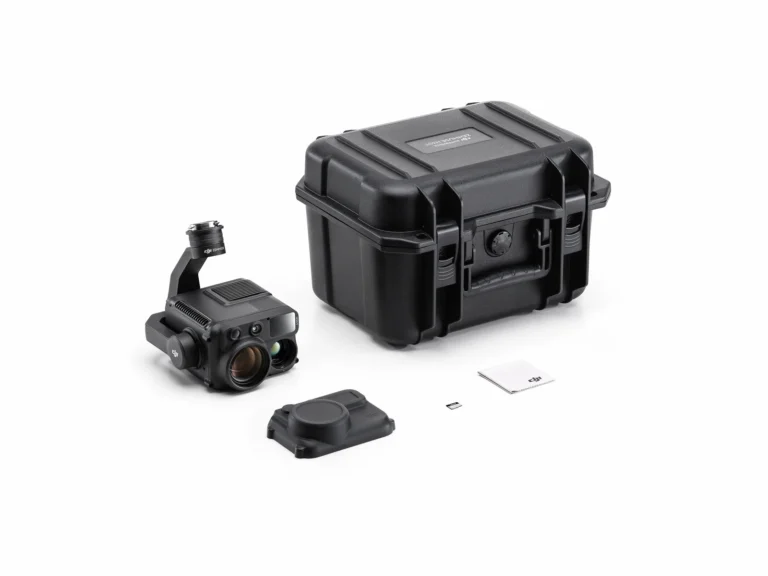
Zenmuse H30T
AIQ-0069
48MP wide-angle camera, 40MP high-resolution zoom camera with 34× hybrid optical zoom, native 1280 × 1024 radiometric thermal imaging, NIR illumination and laser ranging, integrated into a five-sensor enterprise inspection payload. The DJI Zenmuse H30T is designed for energy and utility inspection, infrastructure and asset management, industrial monitoring, public safety and other applications requiring detailed visual and thermal information from a safe stand-off distance.
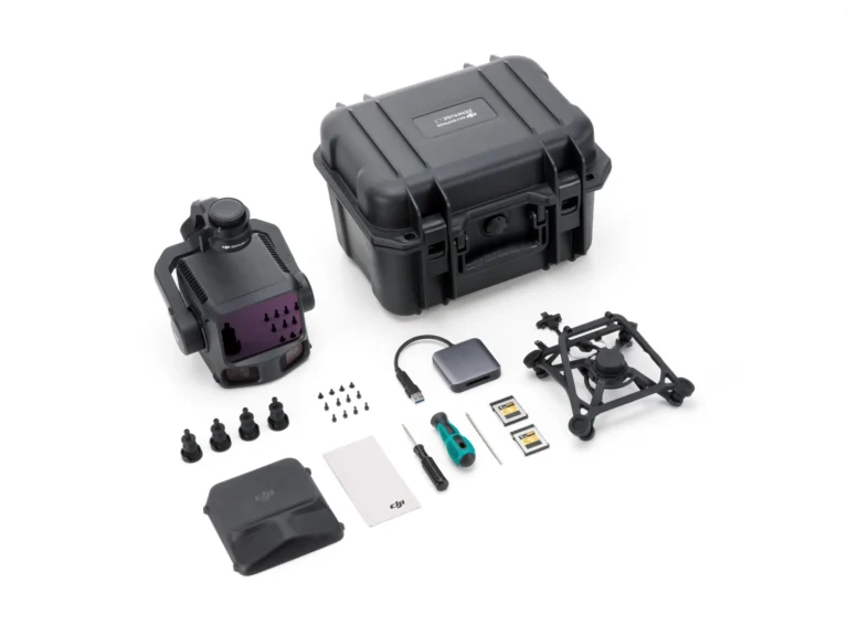
Zenmuse L3
AIQ-0053
1535 nm long-range LiDAR, dual 100MP 4/3 CMOS RGB mapping cameras and a high-precision POS system, integrated into a professional aerial LiDAR payload for the DJI Matrice 400. The DJI Zenmuse L3 is designed for high-accuracy surveying, topographic mapping, corridor mapping, forestry and infrastructure projects, combining long-range LiDAR capture with high-resolution RGB imagery in a single workflow.

Zenmuse P1
AIQ-0054
45MP full-frame sensor, global mechanical shutter, interchangeable 24 mm, 35 mm and 50 mm DJI DL lenses and a 0.7-second minimum photo interval, integrated into a professional aerial photogrammetry payload for high-accuracy mapping. The DJI Zenmuse P1 is designed for surveying, construction, land development, mining and large-scale 2D and 3D mapping, with compatibility across the DJI Matrice 400, Matrice 350 RTK and Matrice 300 RTK platforms.
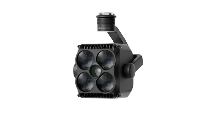
Zenmuse S1
AIQ-0055
High-intensity aerial spotlight with up to 40 lux central illuminance at 100 m on the Matrice 400, an effective illumination distance of up to 500 m, and Low Beam, High Beam and combined lighting modes. The DJI Zenmuse S1 is designed for night-time asset inspection, energy and utility operations, infrastructure monitoring, security, search and rescue and other applications where clear aerial illumination is required after dark.
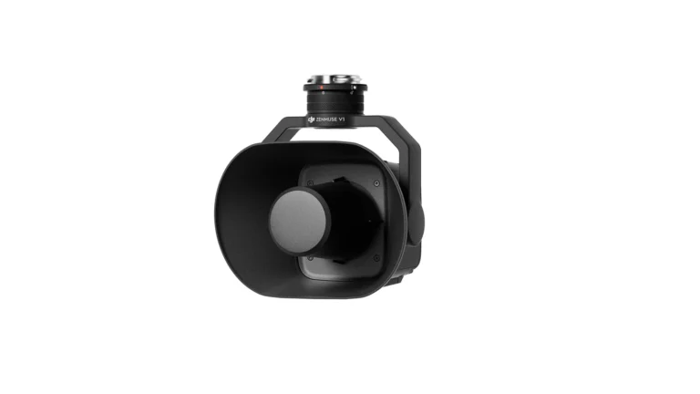
Zenmuse V1
AIQ-0056
129 dB maximum sound pressure level, up to 700 m effective broadcast distance on the DJI Matrice 400, real-time broadcasting, text-to-speech and pre-recorded audio playback, integrated into a stabilised aerial speaker payload for professional drone operations. The DJI Zenmuse V1 is designed for public safety, emergency response, traffic management, forestry, site communication and other applications where clear information needs to be delivered quickly from the air.
Controllers for the Matrice 400
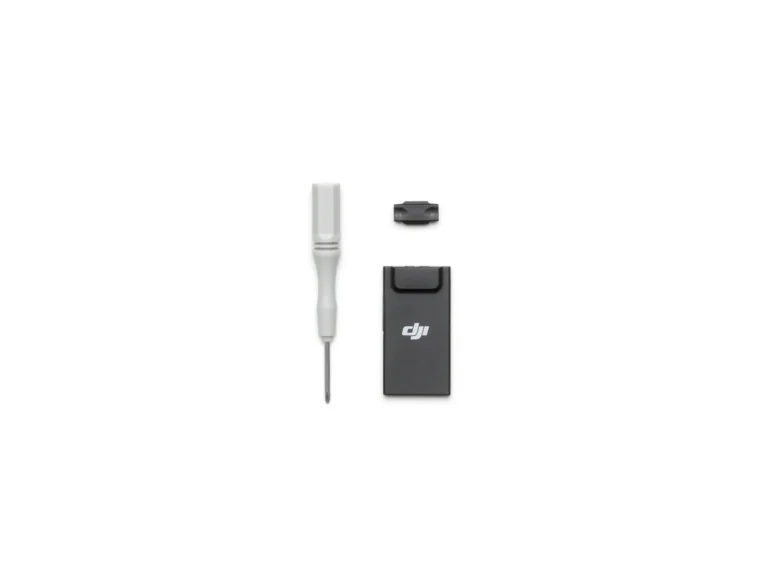
DJI Cellular Dongle 2
AIQ-0079
The Cellular Dongle 2: 4G connectivity for a DJI Dock 3 site.
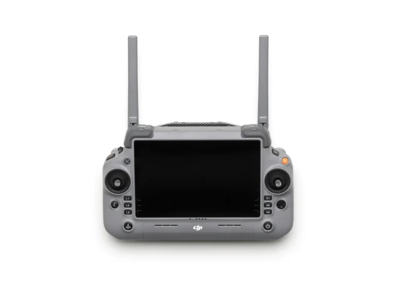
DJI RC Plus 2 Enterprise Enhanced
AIQ-0071
The RC Plus 2 Enterprise controller: a 7-inch 1400-nit screen, 3.8 hours on internal battery and a 40 km link.
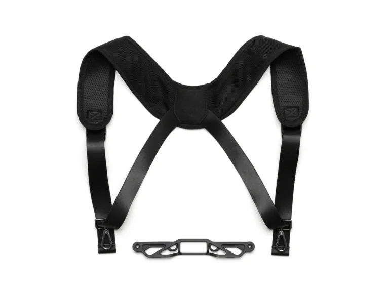
DJI RC Plus 2 Strap & Bracket Kit
AIQ-0072
The strap and bracket kit for the RC Plus 2 controller.
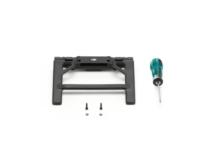
DJI RC Plus 2 sub2G SDR Module
AIQ-0073
The sub-2 GHz SDR module for the RC Plus 2.
Platform overview
Where the Matrice 400 earns its place
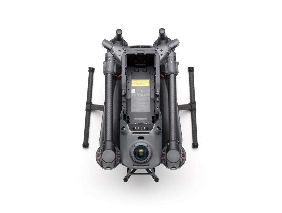
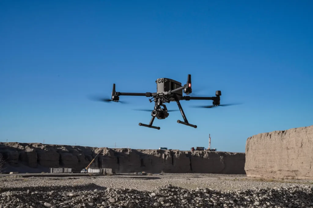
With up to 59 minutes of flight time, a maximum payload capacity of 6 kg and an advanced obstacle sensing system combining rotating LiDAR, mmWave radar and low-light fisheye vision, the Matrice 400 is engineered for safe and dependable operation around complex structures, power infrastructure and challenging environments. Its broad payload compatibility includes the Zenmuse H30 Series, L2 and L3 LiDAR, P1 photogrammetry camera and third-party solutions, with support for mounting up to seven payloads simultaneously. This allows the same aircraft platform to be configured for LiDAR, mapping, surveying, inspection, AEC, emergency response and offshore applications. O4 Enterprise transmission and airborne relay capabilities support reliable operations over extended distances, while IP55 protection and ship-based takeoff and landing expand where the Matrice 400 can be deployed.
- Up to 59 minutes of flight time, 6 kg maximum payload
- Rotating LiDAR, mmWave radar and low-light fisheye sensing
- Up to seven payloads mounted at the same time
- IP55 protection, and takeoff and landing from vessels
Payload
Payload - Multi-Payload, Multi-Scene
With a maximum payload capacity of 6 kg [2], the Matrice 400 can be configured for a wide variety of applications. Operators can switch between single and dual downward gimbal configurations [8], while a third underside gimbal connector provides further flexibility. Four external E-Port V2 ports [7] allow as many as seven payloads to be mounted at the same time.
The Matrice 400 can be equipped with various payloads depending on the task at hand.
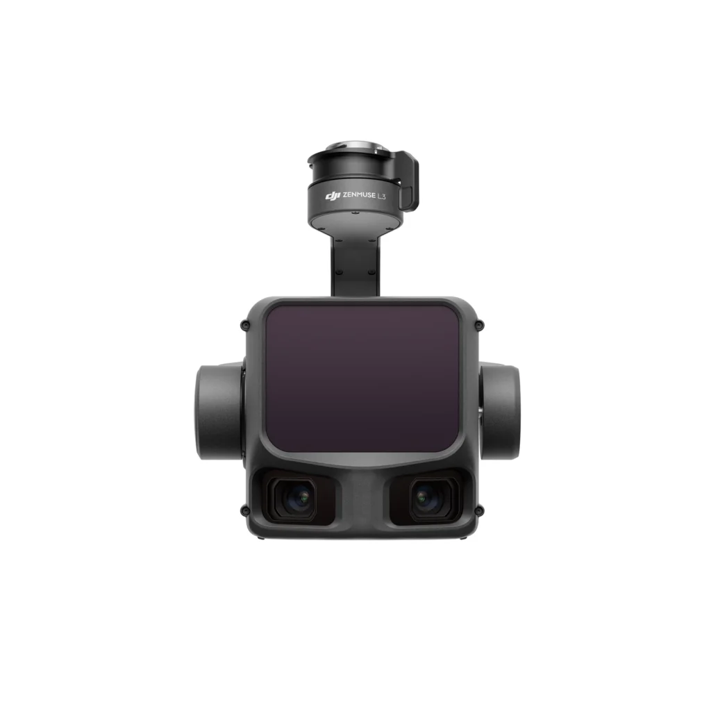
Zenmuse L3
The DJI Zenmuse L3 is DJI's long-range aerial LiDAR solution, combining a 1535 nm LiDAR system with dual RGB mapping cameras for high-efficiency geospatial data capture. Designed specifically for the Matrice 400, it provides significantly greater operating range and coverage than previous DJI LiDAR payloads, supporting applications including large-area topographic surveying, corridor mapping, forestry, infrastructure and powerline surveying. Its ability to collect detailed point clouds from higher flight altitudes makes the L3 particularly well suited to large and complex projects where productivity and data quality are critical.
Learn more →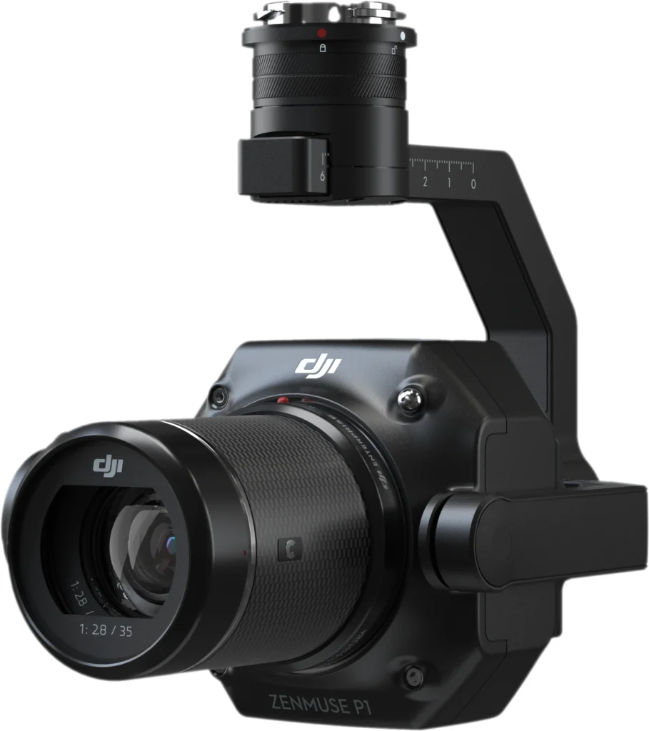
Zenmuse P1
The DJI Zenmuse P1 is a dedicated photogrammetry payload built around a 45MP full-frame sensor with interchangeable 24 mm, 35 mm and 50 mm fixed-focus lenses. Designed for high-accuracy aerial mapping, the P1 allows the Matrice 400 to efficiently capture detailed imagery across large survey areas for the production of orthomosaics, point clouds, 3D models and other photogrammetric deliverables. It is particularly suited to surveying, construction, land development, mining and large-scale mapping projects where image quality, accuracy and coverage are key requirements.
Learn more →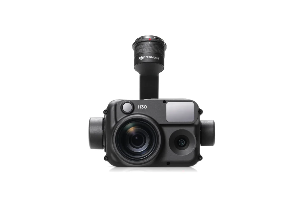
Zenmuse H30 Series
The DJI Zenmuse H30 Series, comprising the H30 and H30T, is a multi-sensor payload designed for detailed inspection, surveillance and situational awareness. Both models combine wide-angle and high-zoom imaging with a laser range finder and NIR auxiliary light, while the H30T adds radiometric thermal imaging. Paired with the Matrice 400, the H30 Series is particularly suited to energy and utilities, infrastructure and asset inspection, where operators need to identify and assess details from a safe distance across a wide range of operating conditions.
Learn more →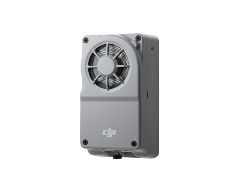
Manifold 3
The DJI Manifold 3 is an onboard computing platform that expands the Matrice 400 beyond conventional payload operations, providing up to 100 TOPS of computing performance for advanced edge processing and custom applications. With 16 GB of memory, 256 GB of onboard storage and integration through the Matrice 400's E-Port V2 interface, it provides a platform for developers and enterprise users to deploy AI models, process data onboard and develop specialised automated workflows. This makes Manifold 3 particularly relevant for organisations building customised inspection, detection, analysis or autonomous drone solutions.
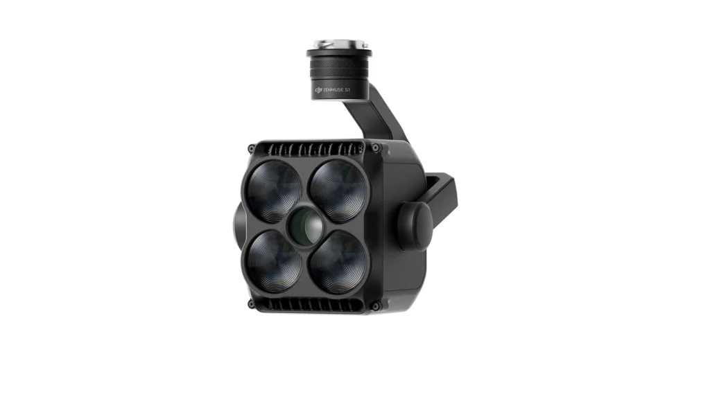
Zenmuse S1 Spotlight
The DJI Zenmuse S1 is a high-intensity spotlight designed to provide aerial illumination for operations in low-light and nighttime environments. When mounted to the Matrice 400, it can deliver up to 40 lux of central illumination at 100 metres and supports multiple beam modes, brightness adjustment and strobe functionality. When paired with the Zenmuse H30 Series, intelligent beam alignment can automatically synchronise the spotlight with the camera view, making it particularly useful for nighttime inspections, asset monitoring, security and other operations requiring targeted illumination from the air.
Learn more →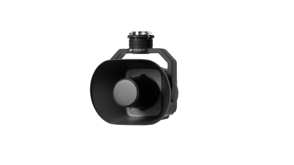
Zenmuse V1 Speaker
The DJI Zenmuse V1 is a high-output aerial speaker designed for long-range communication from the Matrice 400. With a maximum sound pressure level of 129 dB at one metre and an effective broadcast distance of up to 700 metres under DJI's test conditions, it enables operators to communicate instructions, warnings or other audio messages from the air. This makes it a useful addition for public safety, site management, emergency operations and other applications where information needs to be communicated across large or difficult-to-access areas.
Learn more →Safety
Safety - Safe and Reliable Flight
Intelligence
Intelligence- Enhanced Intelligence and Efficiency
Flight modes
Intelligent Flight Modes
Automation
Automation- Easier Automated Operations
Notes
Notes and test conditions
Always check and strictly abide by local laws and regulations before flying.
All data on this page was collected with a production model of DJI Matrice 400 in a controlled test environment. Actual experience may vary depending on the environment, usage, and firmware version.
All videos and photos on this page were shot in strict compliance with local laws and regulations. Demos, including wildlife, were shot from a safe distance and are used for reference only. Please observe local laws and regulations and ensure the aircraft has obtained relevant certifications before flying.
Before use, Matrice 400 must be activated via the DJI Pilot 2 app.
- 1. Measured with the aircraft flying forward at a constant speed of 10 m/s in a windless environment at sea level, carrying only the H30T (total weight 10,670 g), and from 100% battery level until 0%. Data is for reference only. Actual experience may vary depending on the environment, usage, and firmware version.
- 2. The 6 kg payload is measured at the third gimbal connector under sea level conditions. Payload capacity decreases as altitude increases. For details, refer to the official user manual.
- 3. Power line obstacle sensing capability: When directly facing a transmission line (21.6 mm steel-core aluminum stranded wire), obstacle sensing is supported at speeds up to 25 m/s. When both transmission lines (21.6 mm steel-core aluminum stranded wire) and distribution lines (12 mm steel-core aluminum stranded wire) are present, obstacle sensing is supported at speeds up to 17 m/s. Obstacle sensing performance may vary depending on environmental conditions (such as cloud, fog, rain, or snow), as well as the material, position, and shape of the target object. Due to the limitations of the safety system, the aircraft cannot actively avoid fast-moving objects; please fly with caution in such environments. Refer to the user manual for more information. The mmWave radar function may be unavailable or restricted in some countries or regions. Refer to local laws and regulations for more information.
- 4. This feature is unavailable in countries or regions without 5GHz frequency support. Refer to local laws and regulations for more information.
- 5. Operating frequency allowed varies among countries and regions. Refer to local laws and regulations for more information.
- 6. Measured with the aircraft hovering in a windless environment at sea level, carrying only the H30T (total weight 10,670 g), and from 100% battery level until 0%. Data is for reference only. Actual usage time may vary depending on the environment, usage, and firmware version. Always pay attention to reminders in the app during your flight.
- 7. The E4 port of E-Port V2 can be expanded into four payload ports via the E-Port Hub expansion plate.
- 8. Sold separately.
- 9. Please follow the requirements stated in the IP55 protection rating instructions. Measured in a controlled environment. The IP rating is not permanently effective and may decrease due to product wear and tear.
- 10. Measured with FCC compliance in an unobstructed environment with low interference at a flight altitude of approximately 120 m. Data is for reference only. During your flight, please pay attention to reminders in the app.
- 11. To use 4G Enhanced Transmission, the remote controller must be equipped with the DJI Cellular Dongle 2 (sold separately) or connected to the internet via Wi-Fi. This service is not available in some countries and regions. Please consult your local dealer for details.
- 12. There are certain blind areas of visual sensing and infrared sensing. Positioning and obstacle-sensing performance may be affected by the flight environment and obstacle characteristics. Please fly with caution.
- 13. When ambient light is below 12 lux, the visual sensor switches to black-and-white mode.
- 14. Zenmuse H30 Series required.
- 15. DJI Pilot 2 required.
- 16. It is recommended to use the feature when the ship speed is below 10 knots and the wind speed is below 5 m/s; exercise caution in other environments. It is recommended to reserve a 3 m × 3 m takeoff and landing space on the deck. Standard landing point pattern files are available on the download page.

Talk to AeroIQ